Your partner
in geographic engineering
IGN FI helps decision-makers worldwide to fully harness the potential of geographic information.
Our areas of expertise
Examples of projects
Global expertise since 1986

Our Team
Multidisciplinary teams of experts at your service
IGN FI currently employs nearly 50 people. Its head office is located in Paris. Local offices are established to be closer to clients during project implementation.
Our latest news

Launch of a major land development project in Zanzibar
Launch of a major land development project in Zanzibar
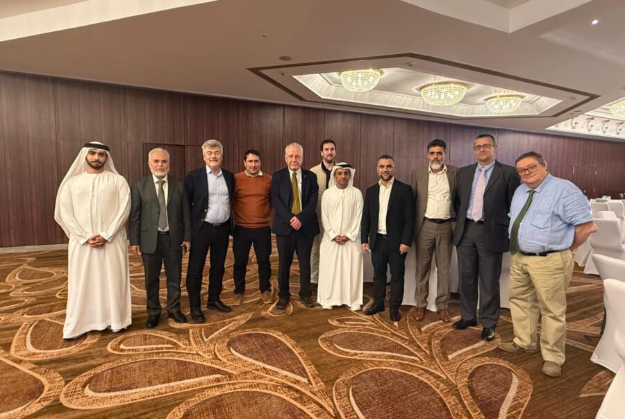
Closing workshop for the first phase of the UAE National Geodetic Reference Frame project
Closing workshop for the first phase of the UAE National Geodetic Reference Frame project
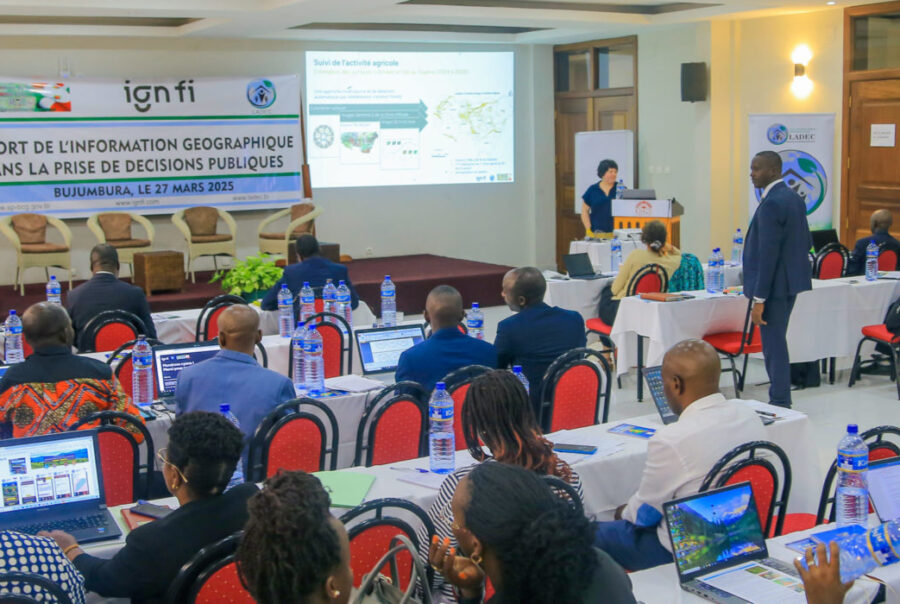
Geographic information, an indispensable tool for public decision-making
Geographic information, an indispensable tool for public decision-making
Tell us
about your project
Would you like to discuss your project and its challenges? Want to know more about IGN FI and our expertise? Meet us?