

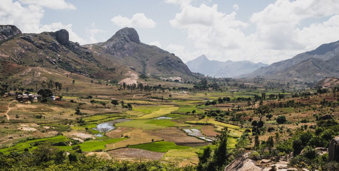
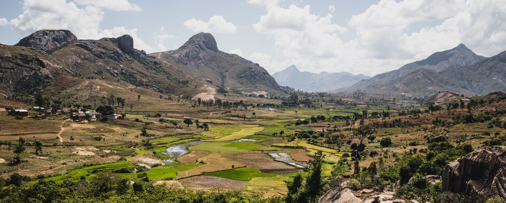
CADASTRE / LAND REGISTRY / LAND VALUATION
Land administration modernization, cadastre, “titling” and land valuation projects are a major concern in many countries given the underlying economic and social stakes. Thus, major international donors are now very much involved in the financing of land projects that contribute to land security because they help to reduce the number of land conflicts, promote the development of the land market and improve the transparency of land value. Geographic information is an essential component of these projects through cadastral data collection and update. The development of complete land information systems combines these geographic layers also with various modules related to land registry management. IGN FI has developed an expertise in this field that is recognised worldwide and is able to propose customised solutions adapted to each issue encountered. Hence the perimeter of its tailor-made projects includes legal and technical components as well as communication actions, training and change management, to ensure the sound adoption of the new technical tools by the administrative staff and also of the resulting new procedures by the end-users.
Upload the brochure
Our areas of expertise
Advise, design and implement projects in the field of land administration and more specifically:
- Running land management projects
- Institutional and legal support
- Execution or supervision of cadastral survey work
- Restoration and dematerialisation of cadastral maps, titles and land-related documentation
- Implementation of land information systems: analysis of existing processes, improvement of existing systems, data modelling in compliance with international standards (LADM – Land Administration Domain Mode), design, development, roll-out
- Technical assistance, technology transfer, training
- Change management, communication and organisation of awareness programmes for the general public
