
Corporate brochure
To know more about IGN FI, its expertise and its main references abroad.
Upload the brochure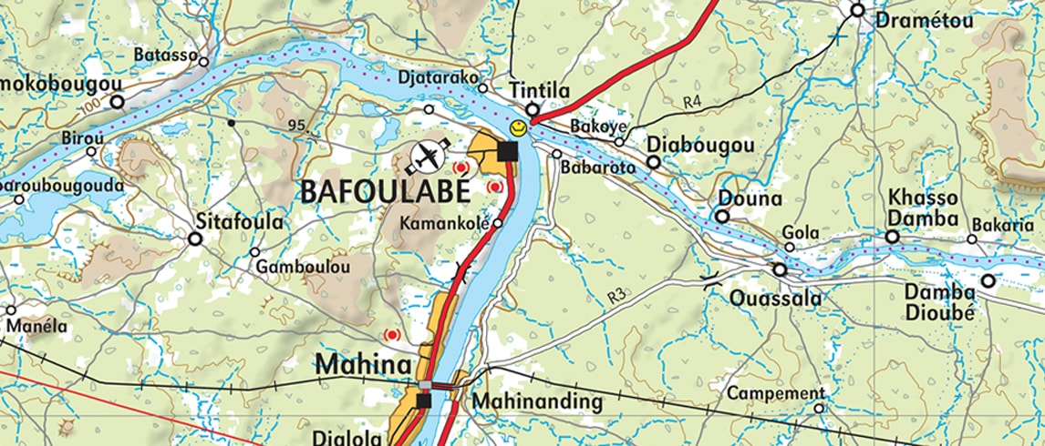
Cartography / SDI
An indispensable tool to understanding territories, maps have been diversified to a great extent in the form of geographic databases, either vector or raster. Mapping work in countries is increasingly embedded in a Spatial Data Infrastructure (SDI) approach.
Upload the brochure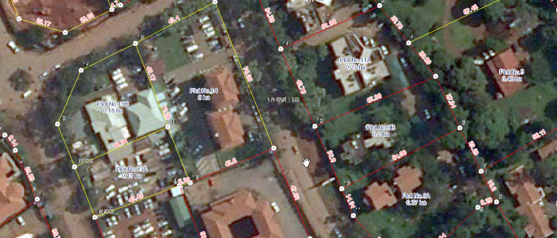
Cadastre / Land registry / Land valuation
Geographic information is an essential component of these projects through cadastral data collection and update. The development of complete land information systems combines these geographic layers also with various modules related to land registry management.
Upload the brochure
Securing land rights
Today it is an accepted principle that good land governance has a positive impact on economic development, social cohesion, food security and the reduction of poverty.
Upload the brochure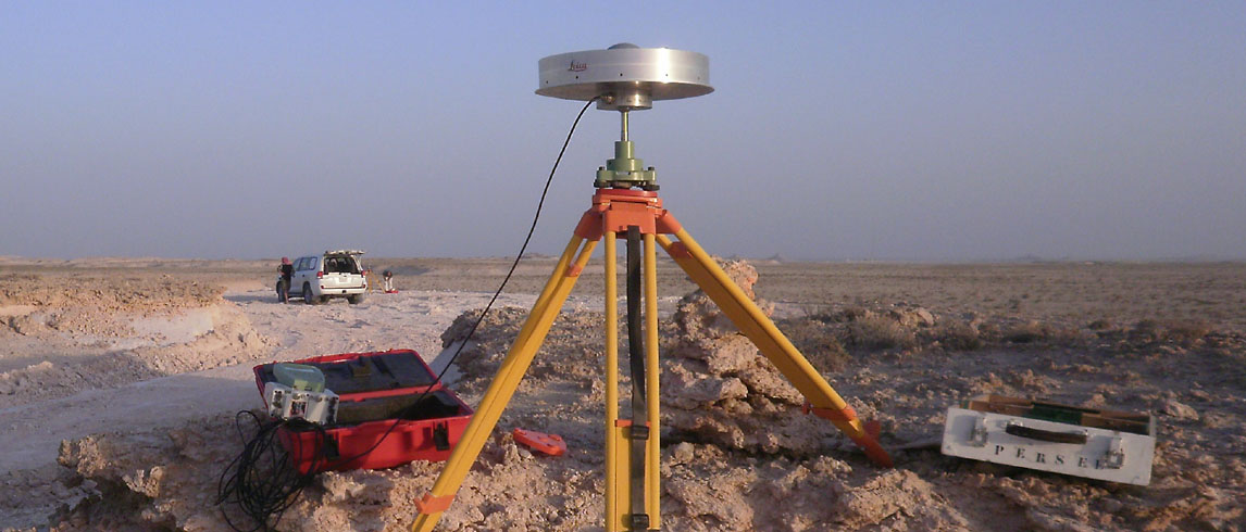
Geodesy / Metrology
The regeneration of a country’s geodetic network is therefore absolutely fundamental for its development in view of the large range of sectors concerned: land administration, urban development, drainage and transport networks, national security…
Upload the brochure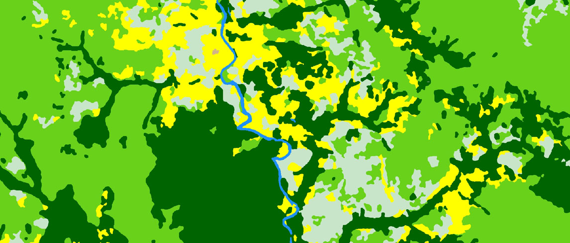
Agriculture / Forests
Geographic information is essential in countries where agriculture represents a major part of the country’s national economy and food safety is threatened economy and food safety is threatened. Conflicts of use between forests and other land uses are now an integral part of international action plans concerning climatic changes and particularly within the framework of the REDD+ mechanism.
Upload the brochure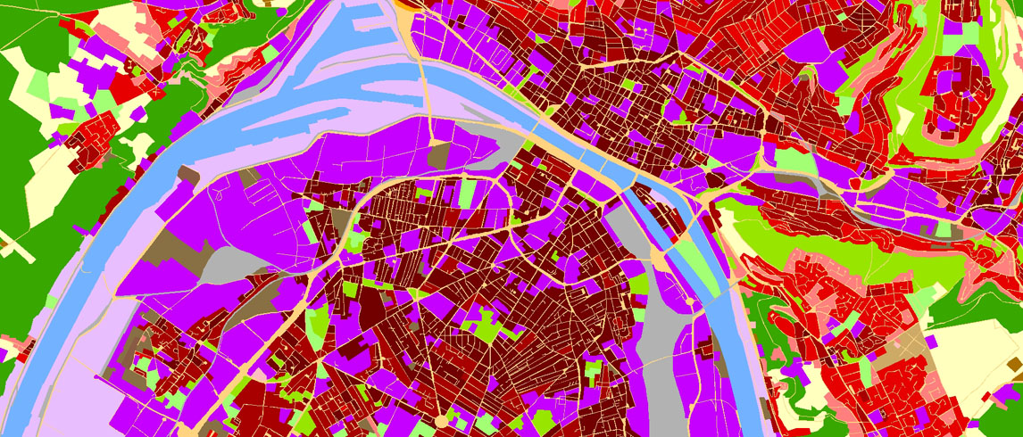
Environment / Risks
For the States eager to take action, environmental information and the tools enabling to use theses data are essential, as well as preseve environment, prevent and manage risks.
Upload the brochure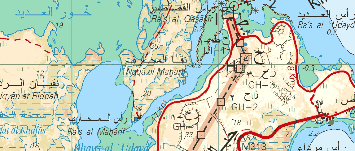
Defence / Civil security
The in-depth, detailed knowledge of its territory is a key element for a State for setting its policies on risk prevention, management of catastrophes or good governance of its border areas.
Upload the brochure
Border cartography & mapping
The absence of border demarcations between States can lead to major tensions, whether between the countries directly concerned or for other states.
Upload the brochure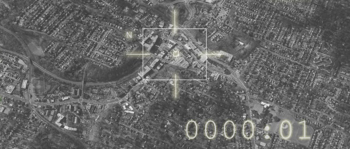
Defense / Geoint
Geographical information is an essential decision-making tool at the heart of security and defense issues.
Upload the brochure
