IGN FI makes its expertise available to leading public and private sector clients internationally.
Filter

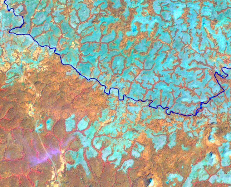
Modernization of the land information system in Tanzania – ILMIS
Modernization of the land information system in Tanzania – ILMIS
Modernization of the land information system in Tanzania – ILMIS
Sustainable environmental data governance – GDDE
Sustainable environmental data governance – GDDE
Sustainable environmental data governance – GDDE

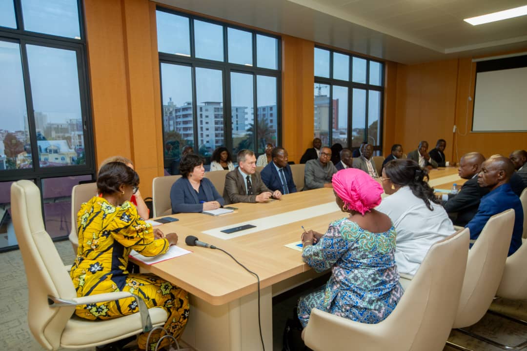
Modernizing land administration in Mozambique
Modernizing land administration in Mozambique
Modernizing land administration in Mozambique
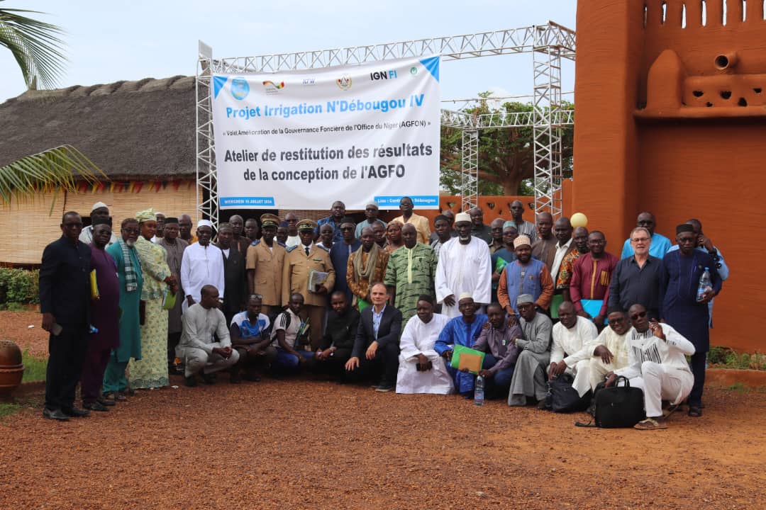
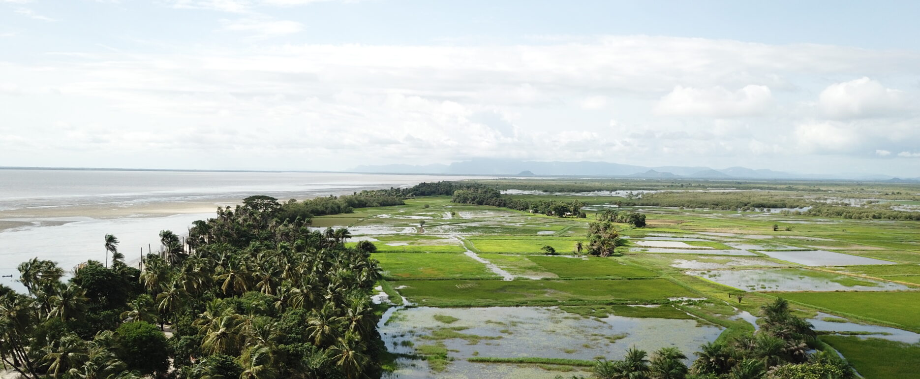
Land governance of the irrigation project in Mali
Land governance of the irrigation project in Mali
Land governance of the irrigation project in Mali
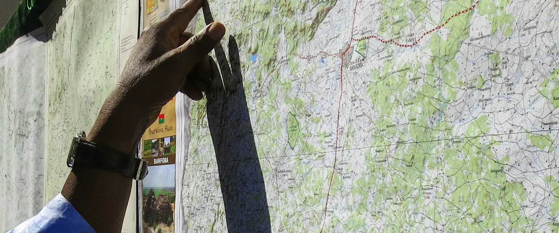
Updated cartography of Burkina Faso
Updated cartography of Burkina Faso
Updated cartography of Burkina Faso
Massive Land Certification Operation and Support for Land Offices – CASEF
Massive Land Certification Operation and Support for Land Offices – CASEF
Massive Land Certification Operation and Support for Land Offices – CASEF
High-resolution monitoring of hotspots across more than 20 countries
High-resolution monitoring of hotspots across more than 20 countries
High-resolution monitoring of hotspots across more than 20 countries
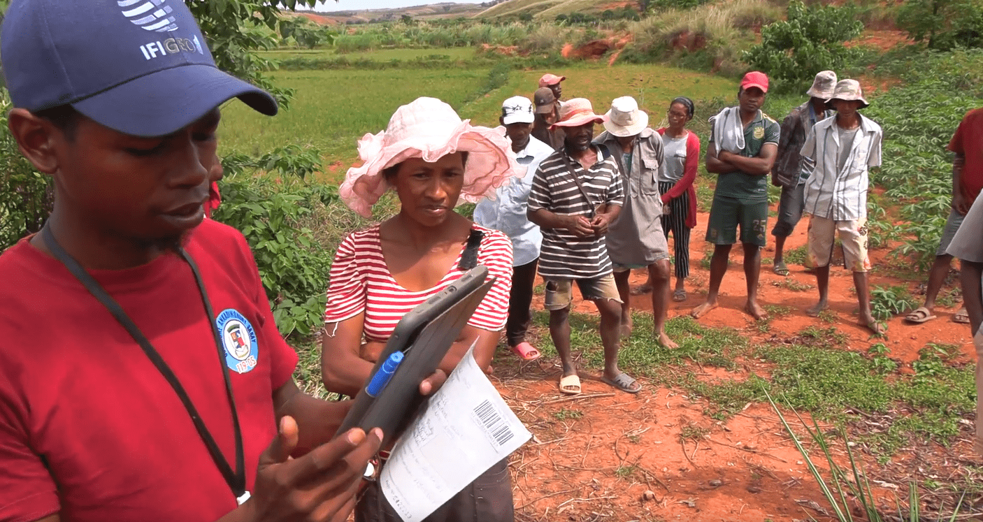
Agro-ecological Zoning of Guinean Territory – ZAEG
Agro-ecological Zoning of Guinean Territory – ZAEG
Agro-ecological Zoning of Guinean Territory – ZAEG
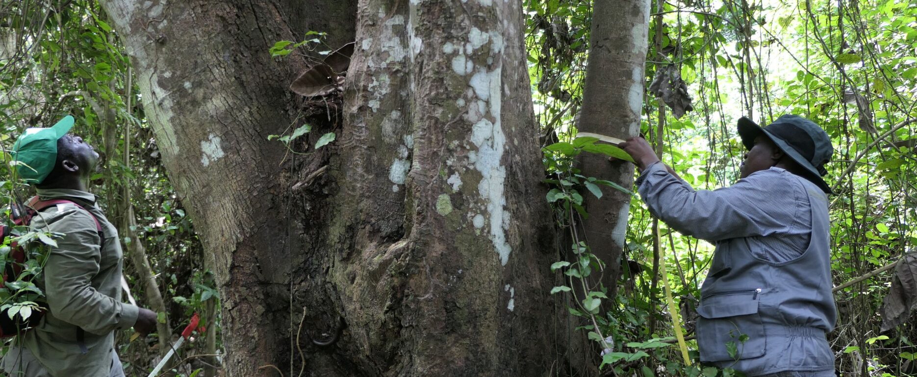
National Forest and Wildlife Inventory of Côte d’Ivoire – IFFN
National Forest and Wildlife Inventory of Côte d’Ivoire – IFFN
National Forest and Wildlife Inventory of Côte d’Ivoire – IFFN