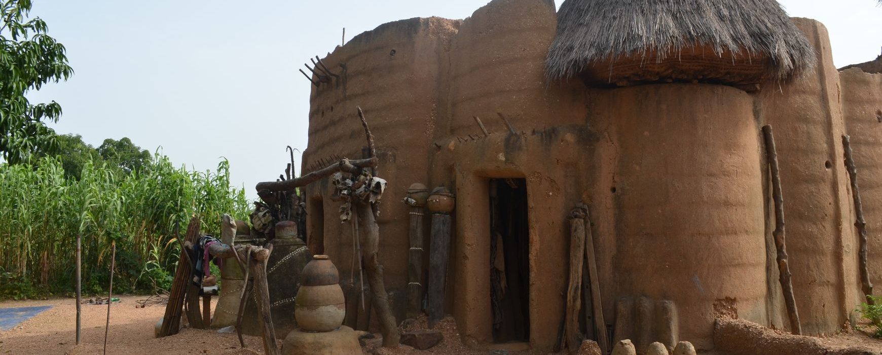
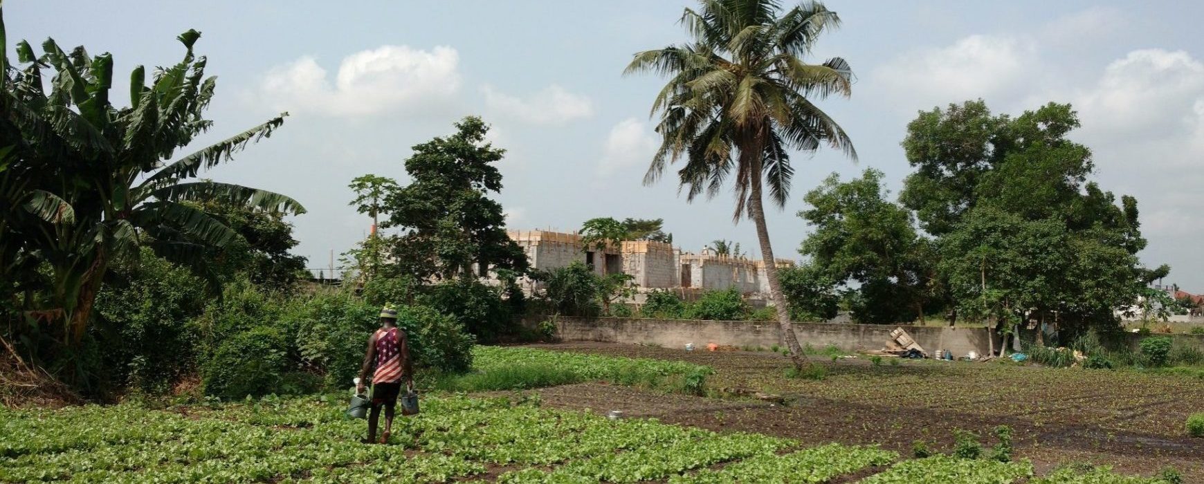
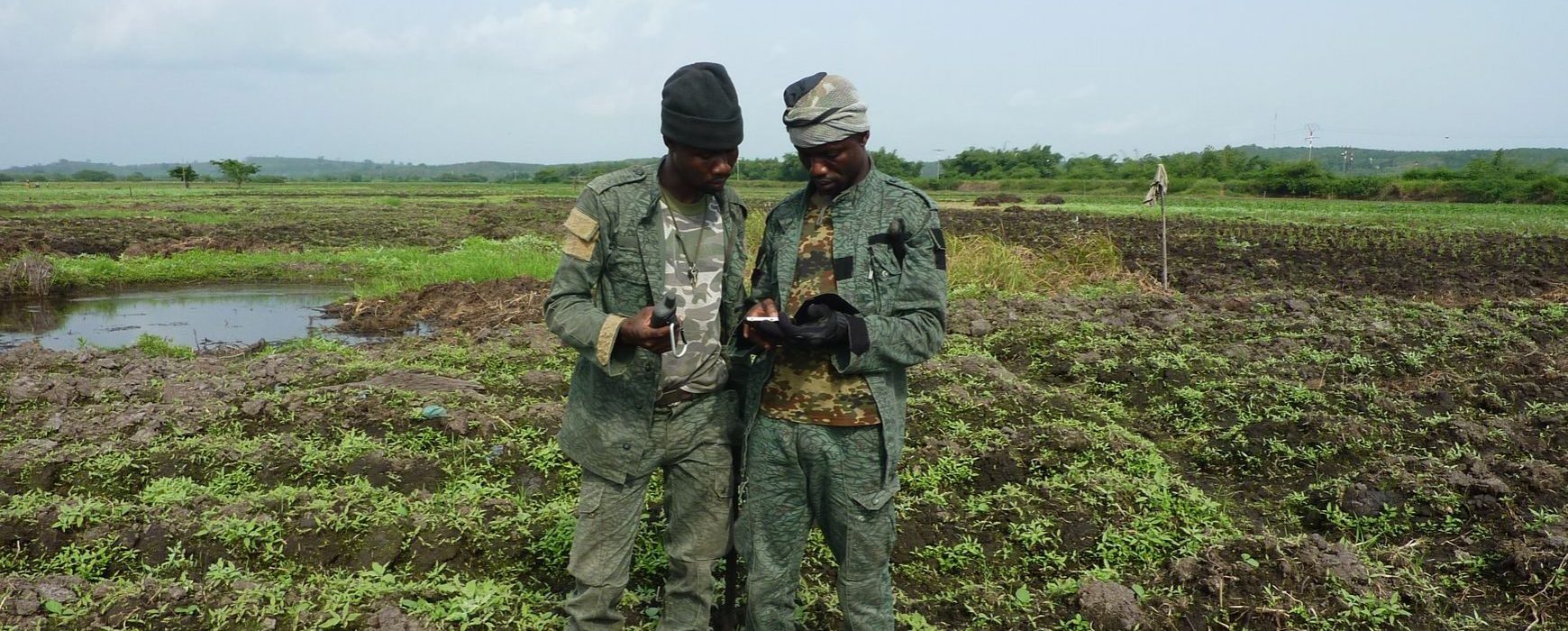
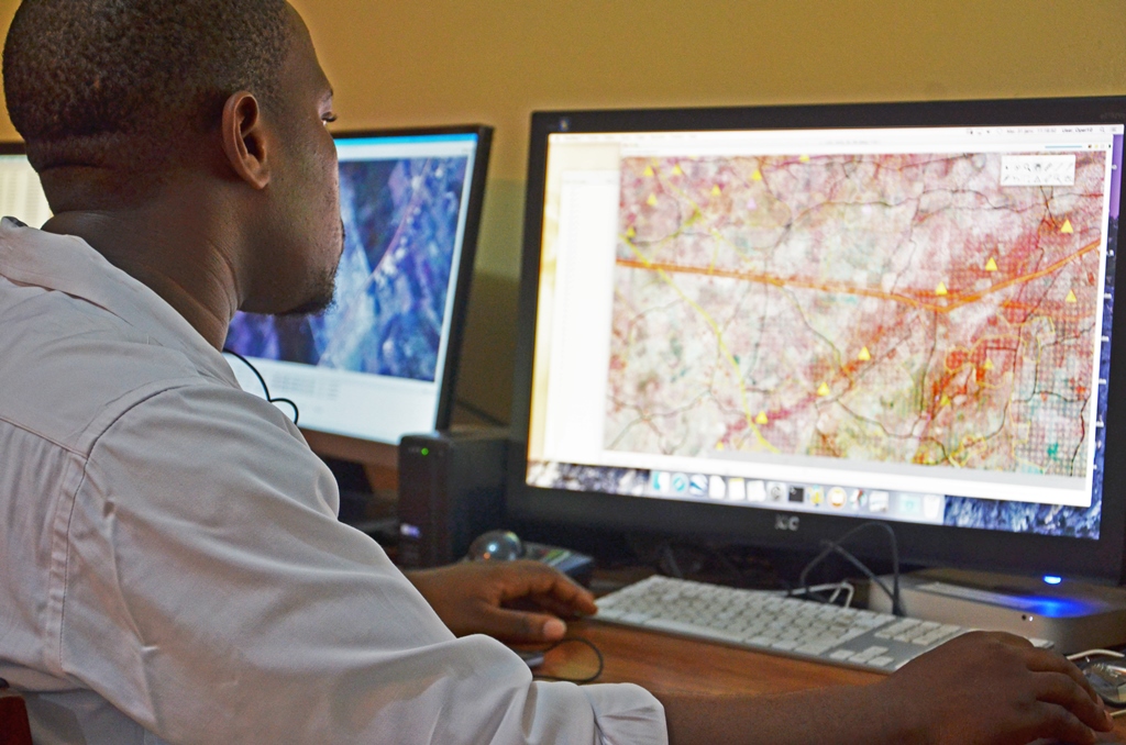
Benin now has an up-to-date national map
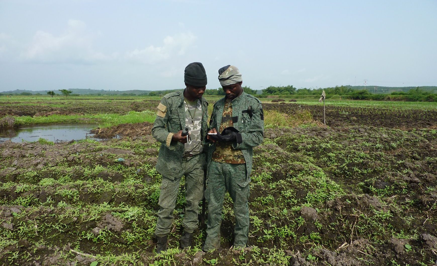
In October 2014 IGN FI was awarded a contract to carry out digital mapping of the entire country of Benin at a scale of 1:50,000. Apart from a very few exceptions, the cartography of Benin had never been updated since the country gained its independence. The project to update Benin’s national Continue reading


