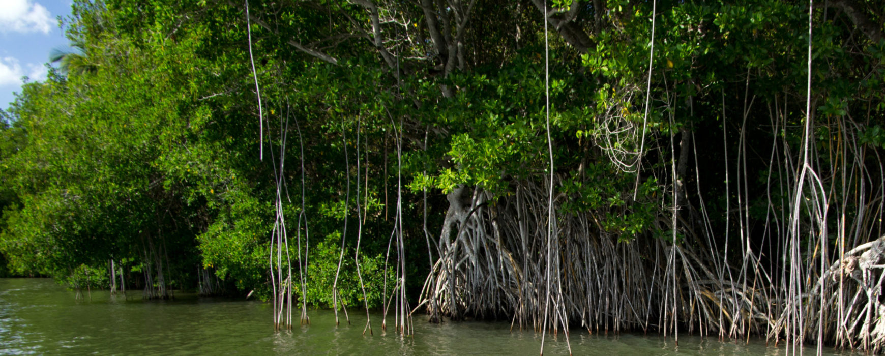
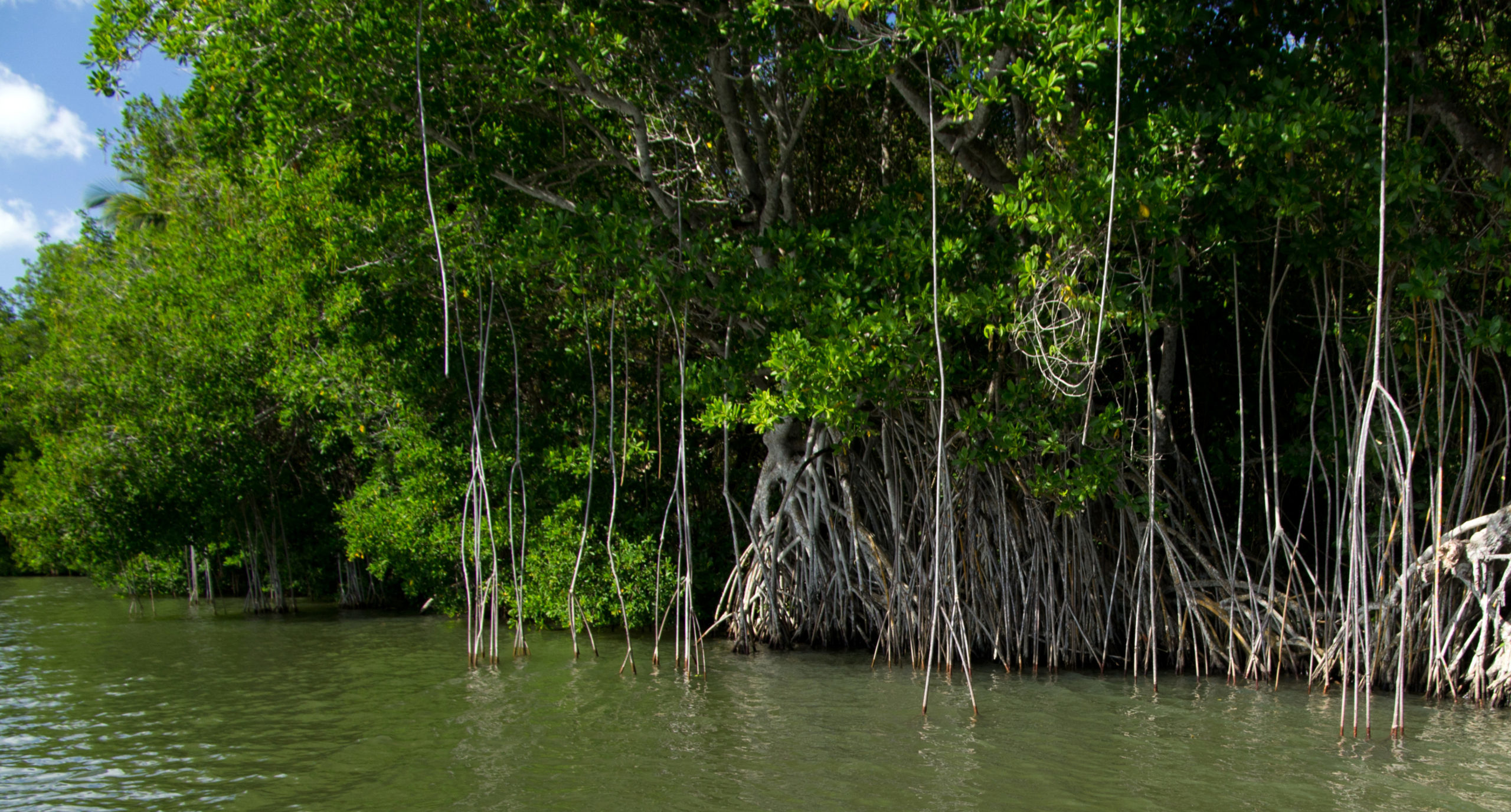
Go to Top
+33 1 42 34 56 56info@ignfi.fr
  • Linkedin
  • Wikipedia
  • Newsletter
L'ingénierie géographique de référence IGN FI
  • About
    • About IGN FI
    • Our teams
    • IGN FI worldwide
    • History & Values
    • Clients & Partners
  • Expertises / Services
    • Why choose us?
    • Cartography / NSDI
    • Geodesy
    • Land administration
    • Environment
    • Agriculture / Forests
    • Defence / Civil security
  • References
    • Our projects
    • Overview
  • Medias
    • News
    • Documentation
    • Press
  • Contact
    • Join us
    • Contact us
  • en
    • Français
    • English

HP

  • IGN FI/
  • HP
Oct 04 2021
Installation of 13 new permanent stations for the Colombian geodetic network

Installation of 13 new permanent stations for the Colombian geodetic network

Colombia has funding from the World Bank for the project to implement a Multi-Purpose Land Registry for the country. An essential part of the project consists in the setting up and operating permanent reference stations (CORS) and reinforcing the Republic of Colombia’s geodetic network control centre, in line with the Continue reading

Posted in: News, HP
Oct 04 2021
Colombia: Study and analysis of the National Land Agency’s land information system

Colombia: Study and analysis of the National Land Agency’s land information system

The Colombian economy has been experiencing a period of sustained growth ever since the conclusion of the peace agreements and the implementation of a national development plan. However, major regional imbalances remain, particularly in the rural areas which are sometimes inaccessible, often marked by 50 years of conflict, and where Continue reading

Posted in: News, HP
Mar 09 2021
CHAD: Presentation of city plans and official launch of the Moundou project

CHAD: Presentation of city plans and official launch of the Moundou project

A ceremony was held at the beginning of February to hand over the city plans to the Ministry of Spatial Planning (MATDHU).  The ceremony also served as the official launch of the Moundou mapping project.  The event gained a great deal of media coverage and attracted interest from a number Continue reading

Posted in: News, HP
  • 1
  • 2
  • Select a language:

    • Français
    • English
  • Subscribe to our newsletter

      Enter a valid email


       By checking this box, I accept the privacy policy of this site. Learn more

      • About
        • About IGN FI
        • Our teams
        • IGN FI worldwide
        • History & Values
        • Clients & Partners
      • Expertises / Services
        • Why choose us?
        • Cartography / NSDI
        • Geodesy
        • Land administration
        • Environment
        • Agriculture / Forests
        • Defence / Civil security
      • References
        • Our projects
        • Overview
      • Medias
        • News
        • Documentation
        • Press
      • Contact
        • Join us
        • Contact us
      • en
        • Français
        • English
    IGN FI © 2022 || Legal Notice || Privacy policy
    • Linkedin
    • Wikipedia

    • BE CALLED

    • NEWSLETTER

    Be called ?


      By checking this box, I accept the privacy policy of this site. Learn more

      Subscribe to our newsletter

        Enter a valid email


         By checking this box, I accept the privacy policy of this site. Learn more