
Border mapping and demarcation, QATAR / SAUDI ARABIA
The State of Qatar and the Kingdom of Saudi Arabia decided to modify the border lines for part of their common border. The existing border lines were demarcated in 1996-1998 and mapped by IGN FI. Ten years after this first project to demarcate the border between Saudi Arabia and Qatar, IGN FI won a new tender to continue the work carried out under the previous project.
The project was divided into three distinct phases:
- A preliminary phase including the construction of a base camp that hosted the fifty people mobilised for the project (January-May 2010)
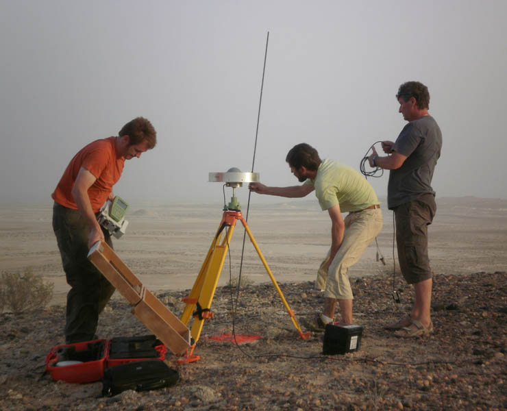
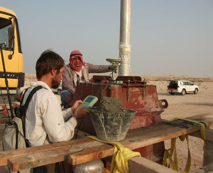
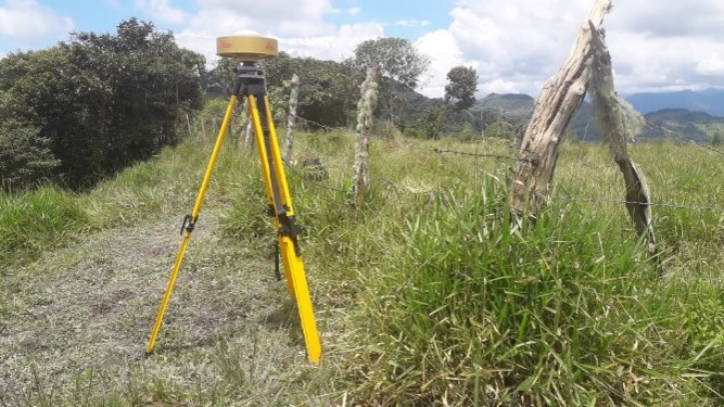
- The completion of geodetic and construction work, in particular the verification of existing boundary markers and the construction of new ones
- The execution of cartographic work ranging from aerial photography (resolution of 40 cm) to printing the maps at different scales
IGN FI has relied on the technical skills of several of IGN France’s departments, benefiting from their expertise in geodesy and levelling, the acquisition and processing of satellite images, the production of orthoimages and 2D restitution, not to mention the Cartographic Department in charge of the land and sea mappings aspects of the project.
Main objectives and deliverables
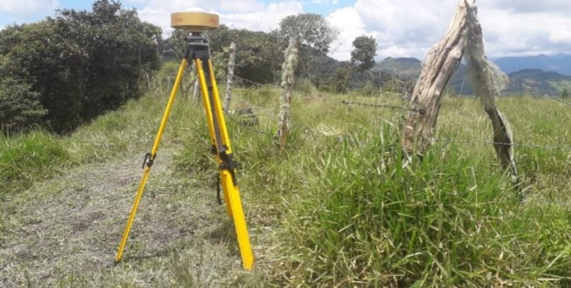
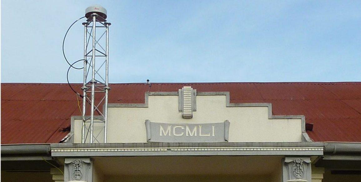
- Realisation of a basic geodetic network common to both countries
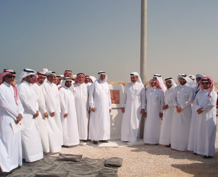
- Implementation of the new border landmarks (several tons, with anchoring at a depth of 20m) according to the coordinates imposed by the border agreement treaty, with an accuracy better than 5 cm
- Aerial photography on the border area and acquisition of satellite images over 50,000 km²
- Production of orthophotos and associated orthoimages
- Production of multiscale maps (1:10,000, 1:50,000, 1:100,000, 1:200,000 and 1:350,000) covering both land and offshore border lines
- Drafting of a bilingual Arabic/English Atlas containing border agreements and produced maps
- Production in France under regular supervision of the Joint Technical Committee