
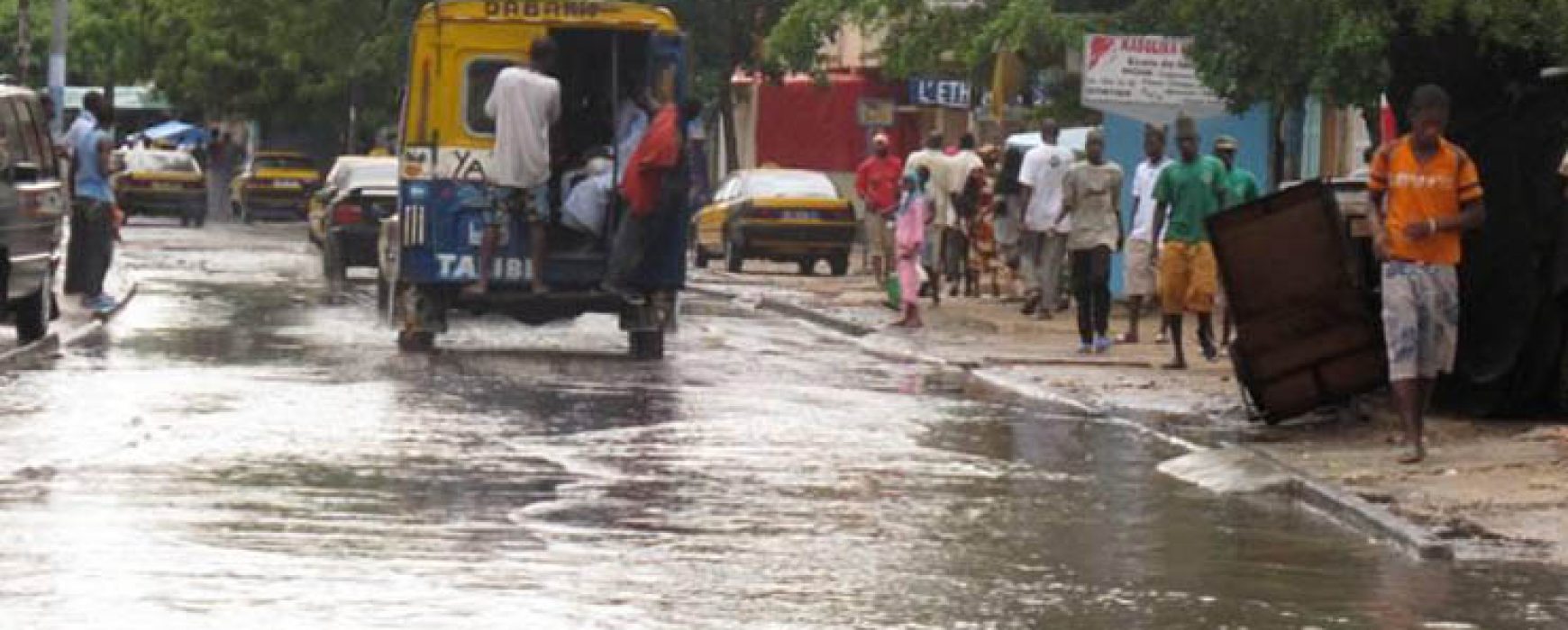
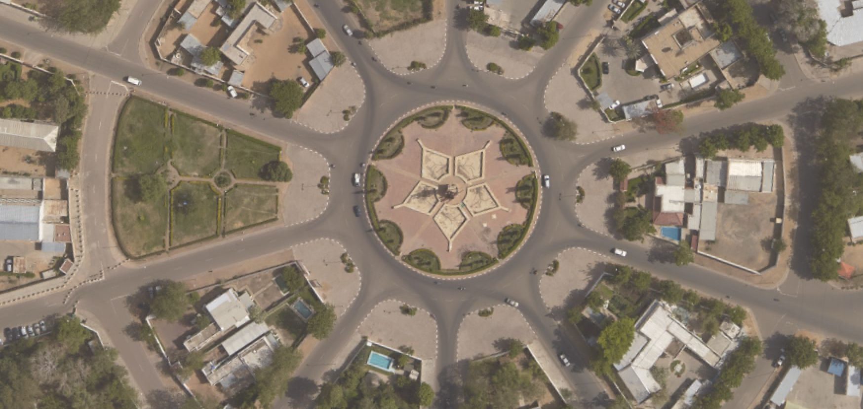
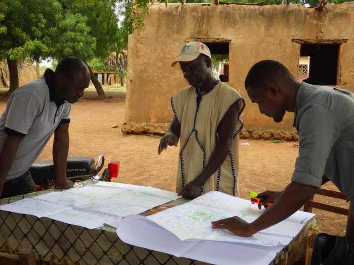
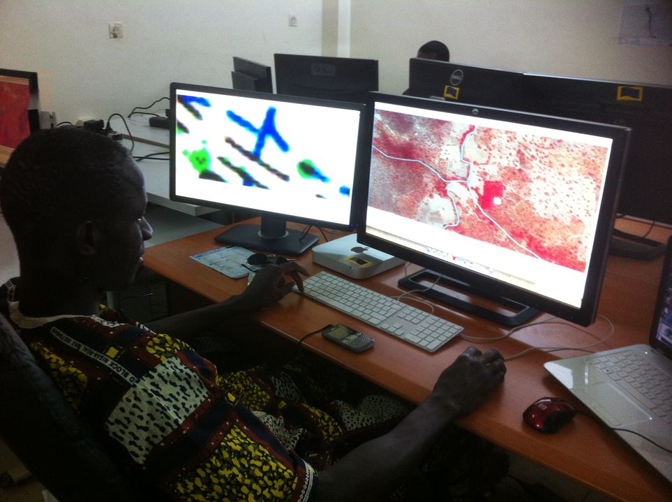
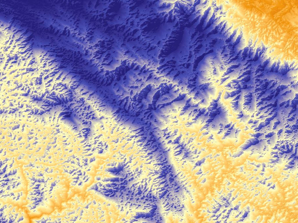
Mapping of flood areas and flood risk zones in SENEGAL, SENEGAL
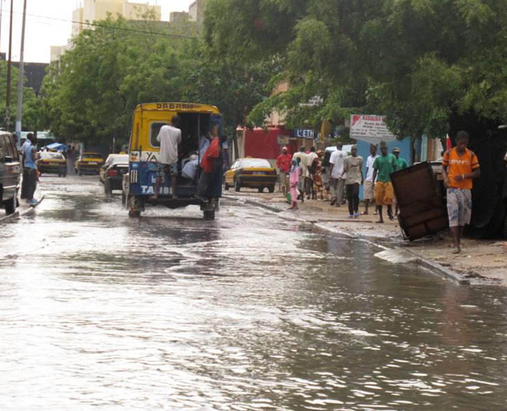
Setting up of a geographic information system applied to the mapping of flood areas and flood risk zones in SENEGAL Recent decades have highlighted the worsening frequency and above all the grave consequences of intense rainfall events in Senegal. Most notably, in 2009 almost 500,000 people were affected across the Continue reading