Spatial analysis of land use, INDONESIA

Spatial analysis of land use, INDONESIA

Land use, land cover and land suitability spatial analysis to support integrated landscape management in the implementation of land reform (Tora) and social forestry, INDONESIA The project “Land Use, Land Cover and Land Suitability Spatial Analysis to Support Integrated Landscape Management in the Implementation of Tora and Social Forestry” is Continue reading

National forest and wildlife inventory (IFFN), IVORY COAST

National forest and wildlife inventory (IFFN), IVORY COAST

National forest and wildlife inventory (IFFN), IVORY COAST The last national inventory of forests in Ivory Coast dates back to 1979. The current assessment of Ivory Coast’s forests as measured by satellite imagery among other methods shows a clear trend of deforestation and deterioration of forest resources. It appears that Continue reading

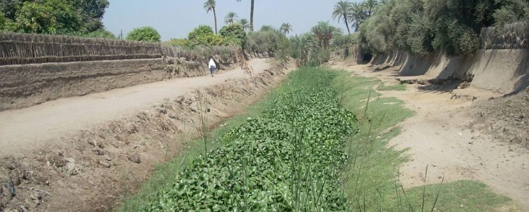
Agro-ecological zoning, GUINEA

Agro-ecological zoning, GUINEA

Agro-ecological zoning of the territory of Guinea The Guinean Ministry of Agriculture made a request to the French Development Agency for funding to develop agro-ecological zoning at national level, with the aim of identifying and quantifying the current agricultural zones and agricultural potential, and obtaining mapping of land cover and Continue reading

Spatial land monitoring, IVORY COAST

Spatial land monitoring, IVORY COAST

Technical support for implementation of the spatial land monitoring (SLM) of Ivory Coast territory and a prototype for geoportal   The REDD+ Permanent Executive Secretariat (SEP-REDD+), acting on behalf of the Ministry for the Environment and Sustainable Development (MINEDD), initiated a national spatial land monitoring system (SLM) project. Two sub-projects Continue reading

Hydrological and environmental monitoring, CENTRAL AMERICA

Hydrological and environmental monitoring, CENTRAL AMERICA

Hydrological and environmental monitoring (SHERPA), EL SALVADOR / HONDURAS / GUATEMALA Since the 1990’s, the regions of Central America have been following the principle of a regional integration policy in order to prevent events related to human conflict and major natural risks that can sometimes provoke unbalance. The Central American Commission Continue reading

Hotspots validation and evaluation, 15 countries of Africa

Hotspots validation and evaluation, 15 countries of Africa

High-resolution hot spot monitoring within the global land component of the Copernicus land service, Lot 2: independent validation and accuracy assessment, AFRICA (15 countries) This project includes performing the independent control consisting of the validation and accuracy assessment of the land cover and land cover change mapping products produced by Continue reading

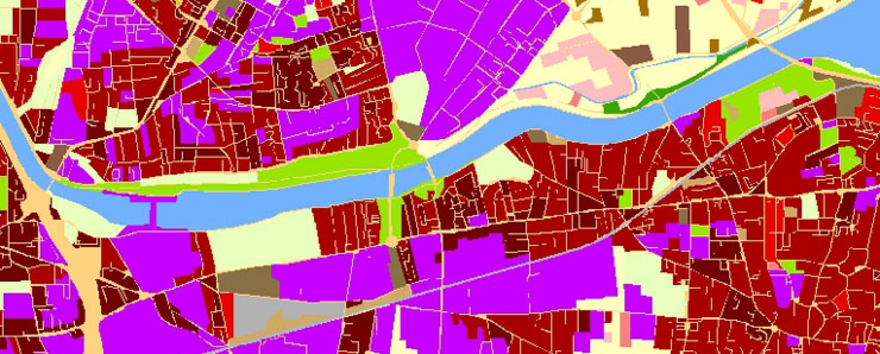
Quality assessment of urban atlas, EUROPE

Quality assessment of urban atlas, EUROPE

Quality assesment of the Urban atlas 2012 update, EUROPE As joint initiative with the European Commission’s Directorate General of regional and urban policies, the General Directorates for Enterprise (DG ENTR) and Industry (DG REGIO), along with support from the European Space Agency (ESA) and the European Environment Agency (EEA), the Continue reading

Spatial observation of tropical forests (OSFACO), AFRICA

Spatial observation of tropical forests (OSFACO), AFRICA

Tropical forests have been at the centre of global issues for a number of years now, either being at the forefront of international conventions or due to biodiversity. They are reservoirs of carbon and biodiversity, offering means of subsistence for millions of people. The forests in the Congo Basin represent Continue reading