L'ingénierie géographique de référence

Geographic information, an indispensable tool for public decision-making United Arab Emirates National Geodetic Reference Frame
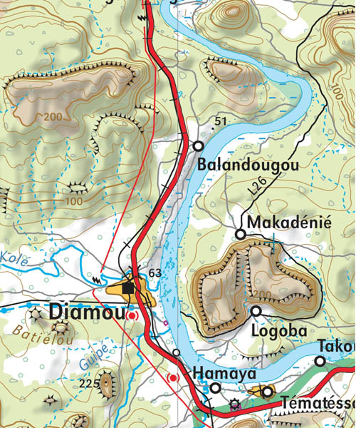
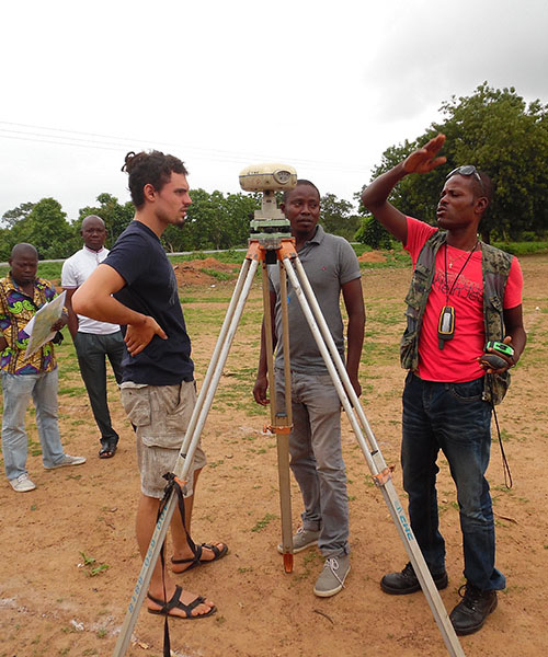
Senegal/ PROCASEF: implementation of the geodetic reference network
Launch of the Uganda National Land Information System Public Web Portal (UgNLIS)
Saudi Arabia-Jordan border project
Senegal/ PGIIS project: results of the flood risk mapping presented in Kaolack


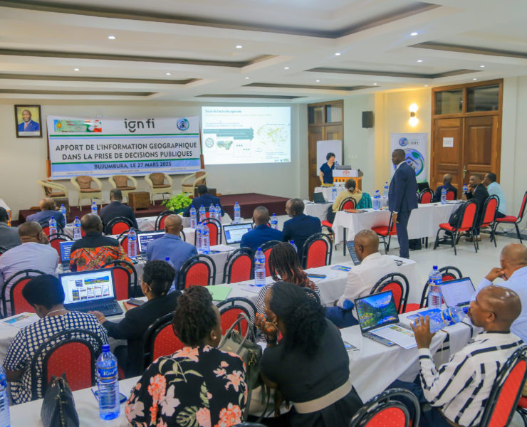
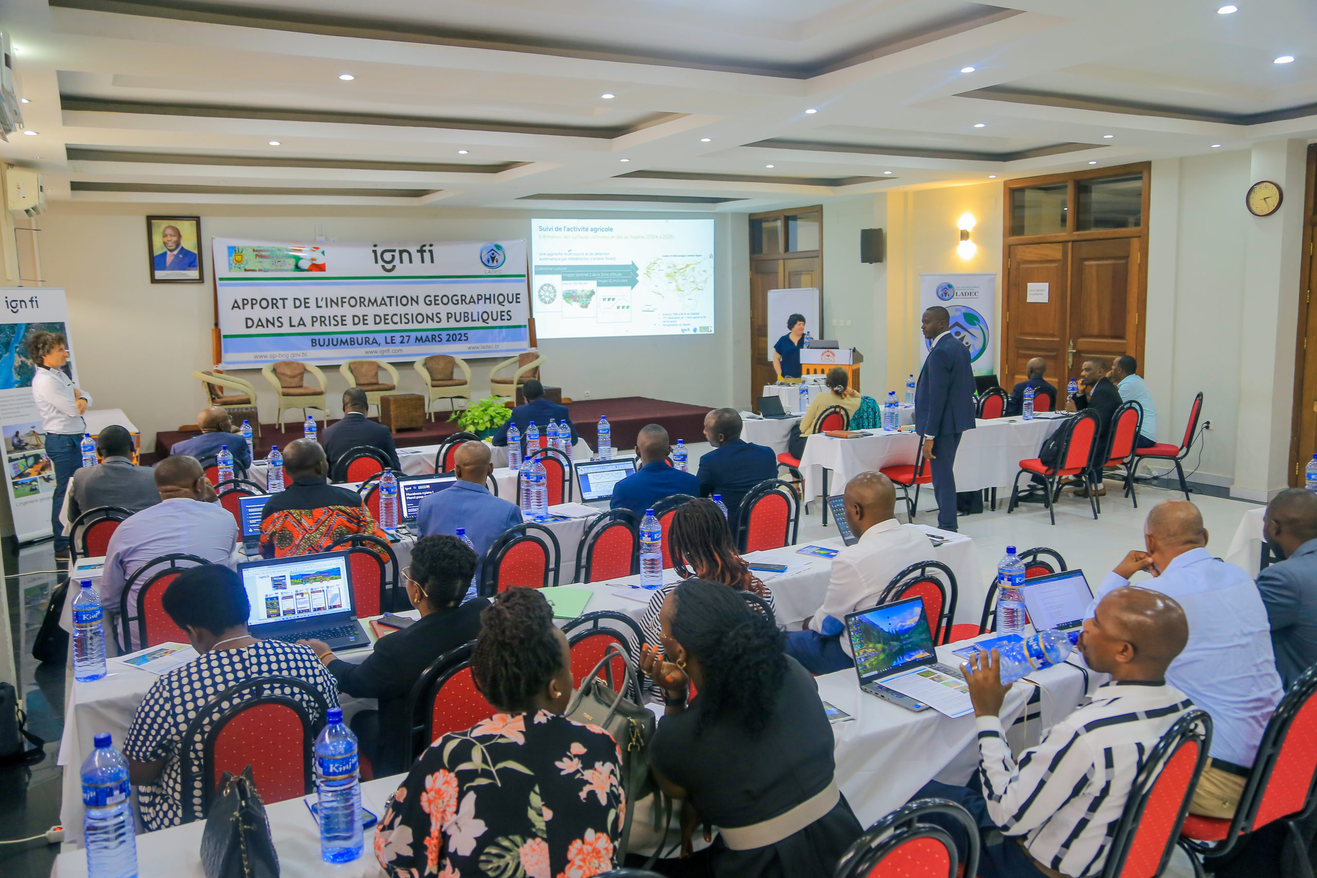
Geographic information, an indispensable tool for public decision-making
On Thursday 27 March 2025, a seminar dedicated to the contribution of geographic information in public decision-making was held at the King's Conference Center in Bujumbura. This event was organised with the suppo... Continue reading
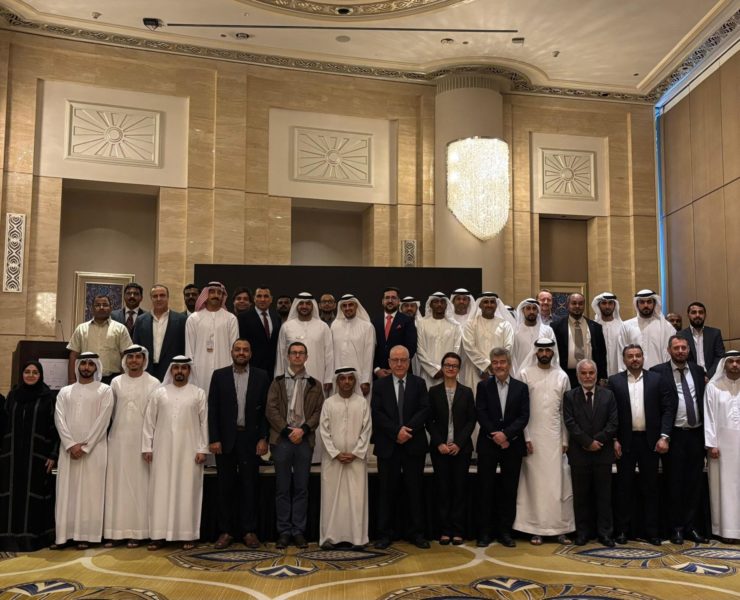
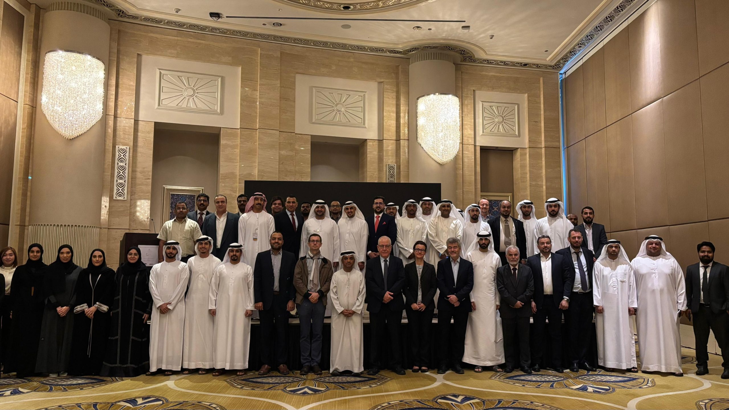
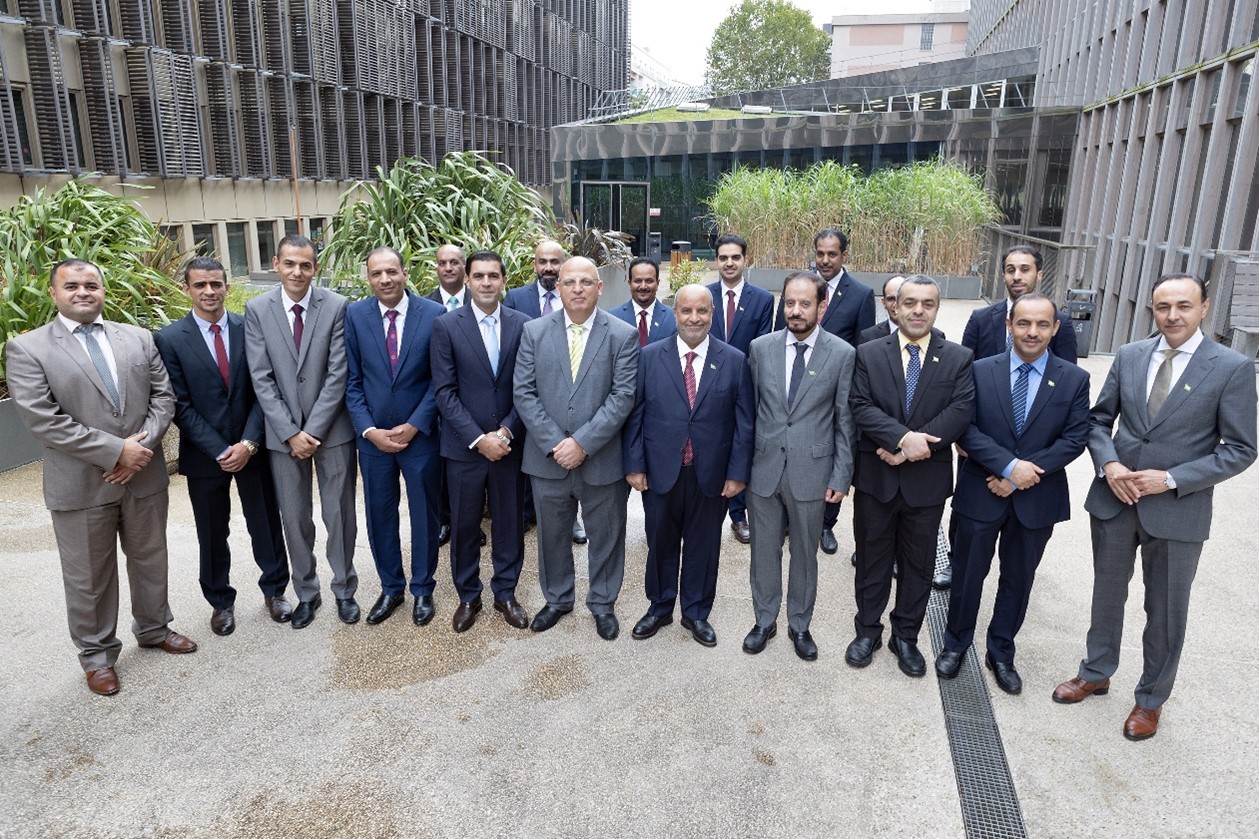
United Arab Emirates National Geodetic Reference Frame
Under the initiative of the Federal Geographic Information Center for the establishment of the UAE National Geodetic Reference Frame (NGRF) and in collaboration with GECO Engineering, IGN FI, a successful workshop... Continue reading
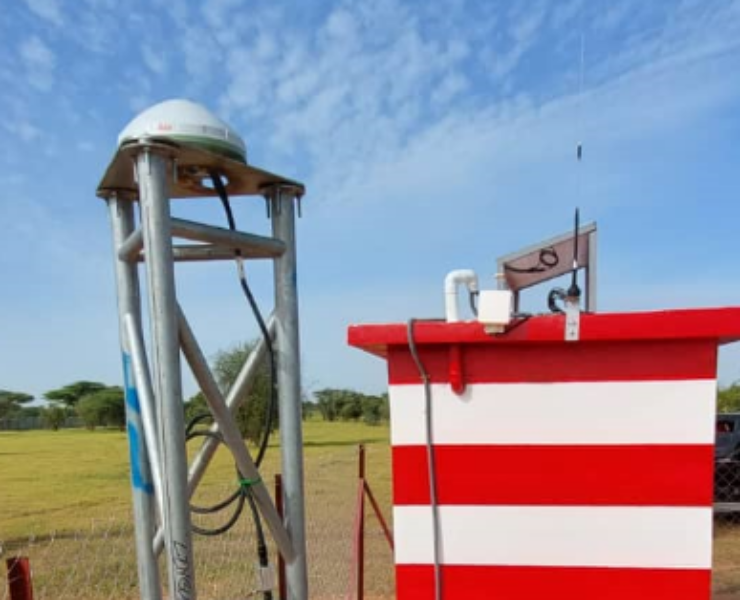
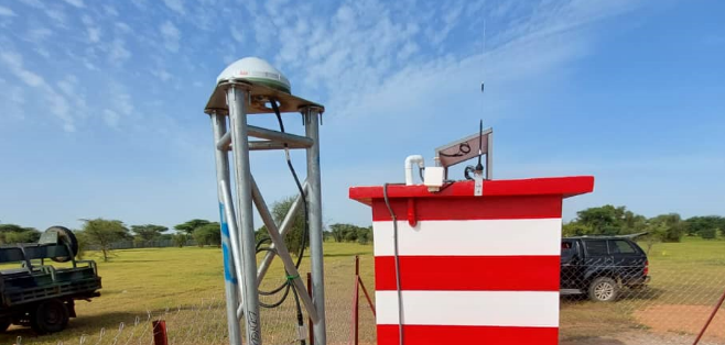
Senegal/ PROCASEF: implementation of the geodetic reference network
The project to modernise and rehabilitate Senegal's geodetic infrastructure is part of the Land Registry and Security Project (PROCASEF), which ai... Continue reading
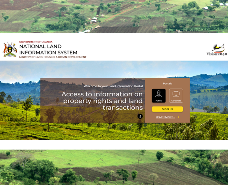
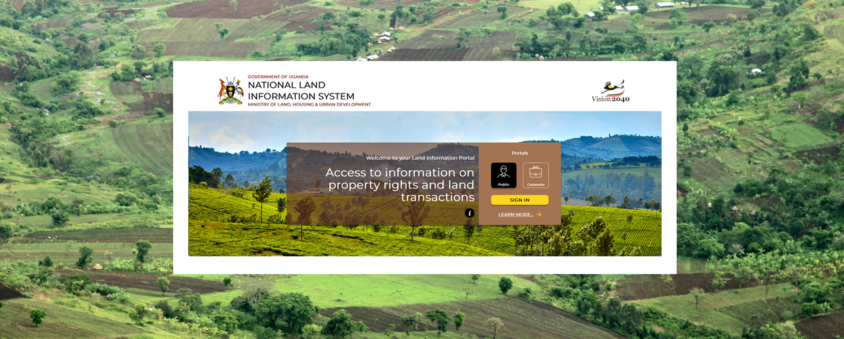
Launch of the Uganda National Land Information System Public Web Portal (UgNLIS)
The Ministry of Lands, Housing & Urban Development (MLHUD), with the support of IGN FI has launched on Wednesday 2nd October the UgNLIS public web portal and the mobile applications for smartphone working on i... Continue reading
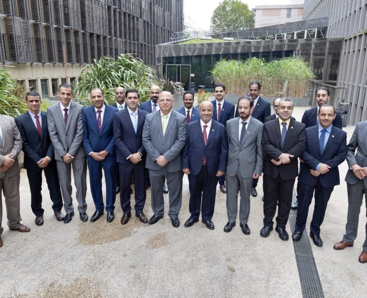
Saudi Arabia-Jordan border project
The Joint Saudi Jordanian Technical Committee has awarded the IGN FI - Almabani Consortium a contract for renewing the land boundary line marks between the Kingdom of Saudi Arabia and the Hashemite Kingdom of Jord... Continue reading
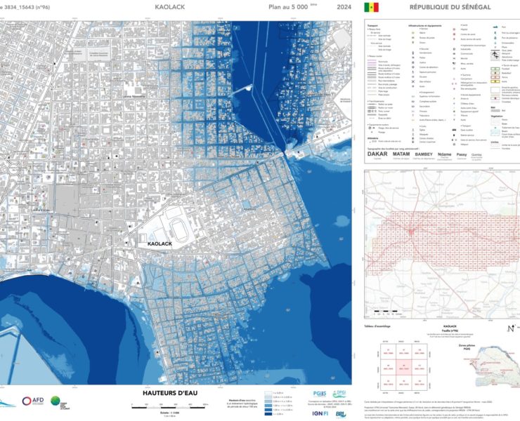
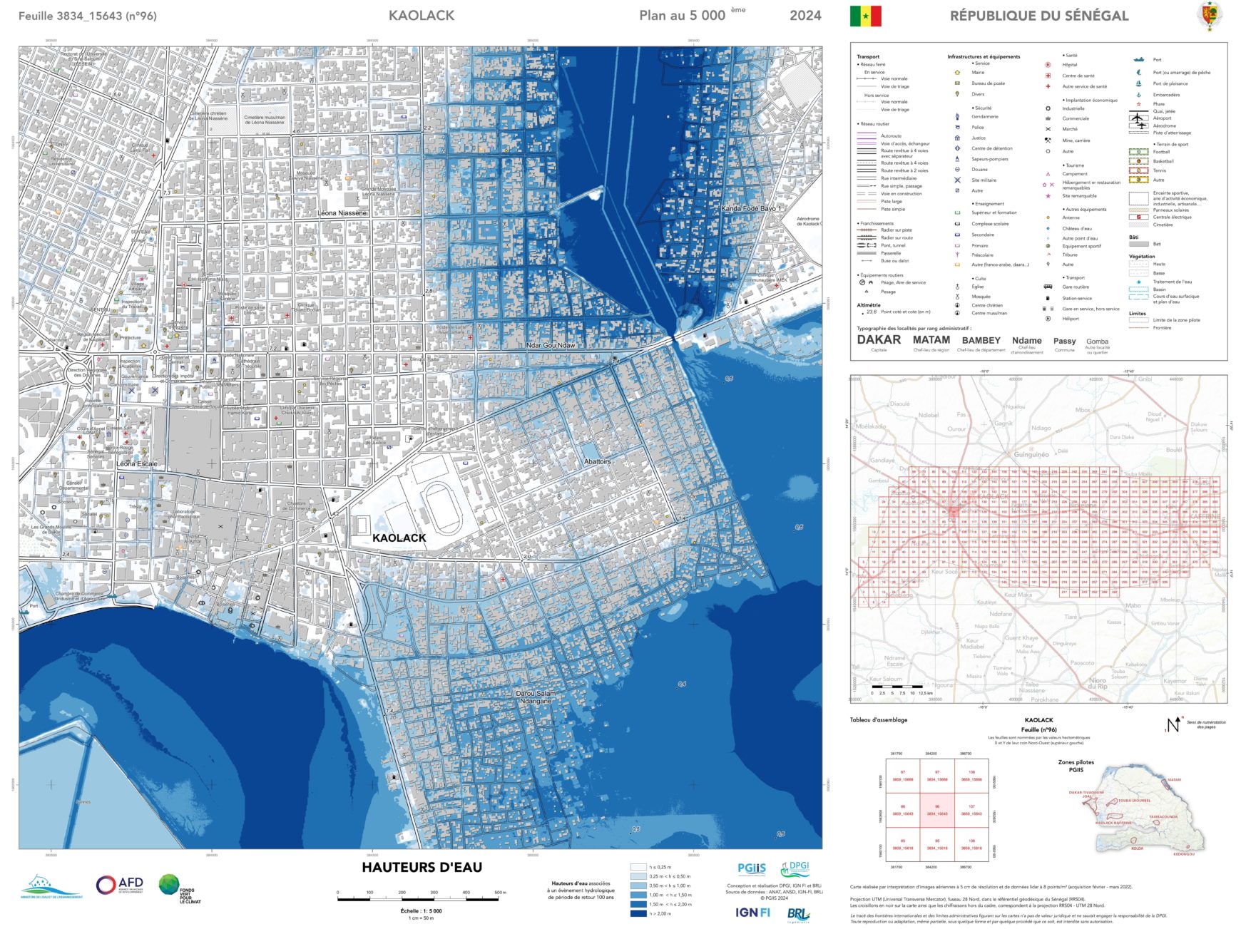
Senegal/ PGIIS project: results of the flood risk mapping presented in Kaolack
The Minister for Water and Sanitation, Cheikh Tidiane Dièye, presented the results of the scientific study on the mapping of flood-prone areas in Senegal in Kaolack on Tuesday 11 June. This mapping is an awarenes... Continue reading