CARTOGRAPHY / NSDI
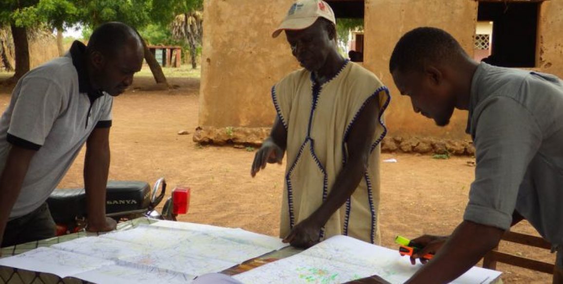
IGN FI offers to accompany its clients throughout all the phases of their SDI and mapping projects: assessing the current situation on data already available, technical aspects (from the initial collection of data to its update) and organisational issues (transfer of technology, coordination, etc.).
Upload the brochure
OUR AREAS OF EXPERTISE
Advise, design, execute and support throughout all the stages of mapping projects:
- Implementation of SDI and NGP
- Creation of a national geodetic reference via a materialised network
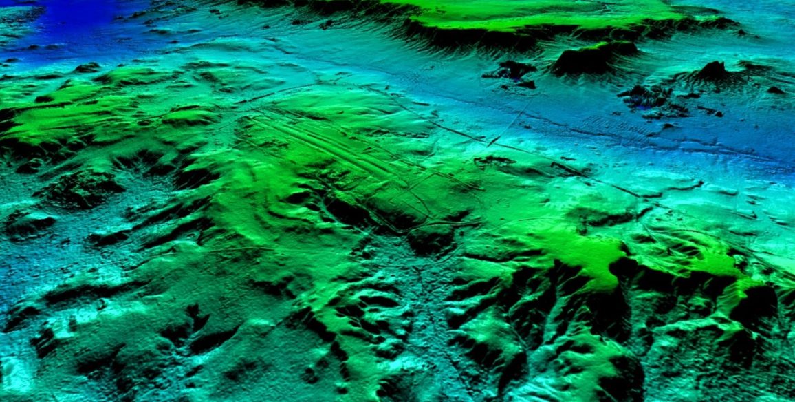
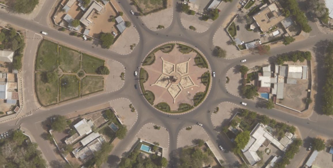
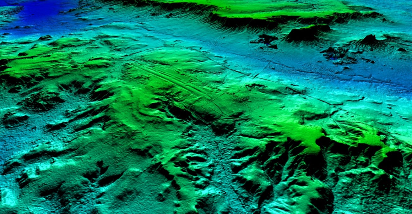
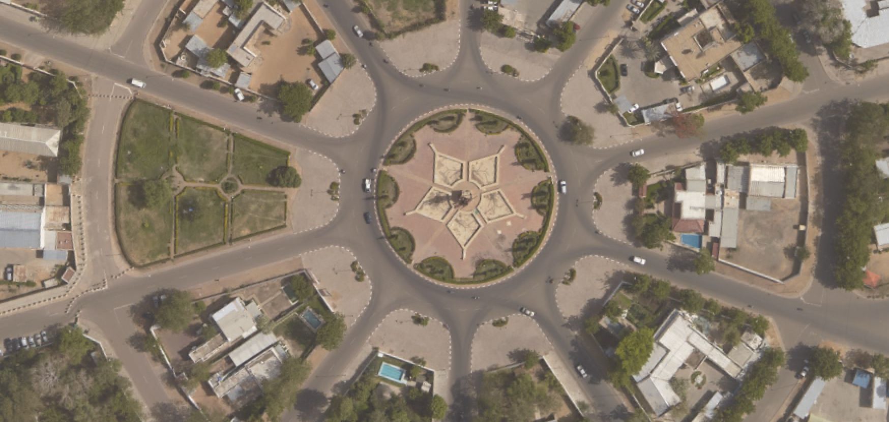
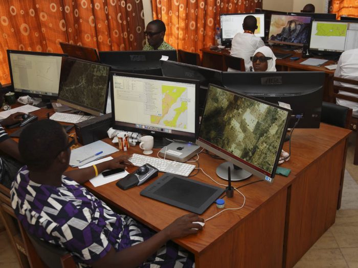
- Aerial photographs, LiDAR acquisition, satellite image acquisition
- Creation of digital terrain models, digital elevation models, orthophotographs
- 3D stereoscopic plotting, 2D digitising on orthoimages
- Modelling and implementation of geographic databases, definition of the metadata as per international standards
- Design and production of web-based portals for disseminating geographic data
- Geometric and semantic quality controls of databases
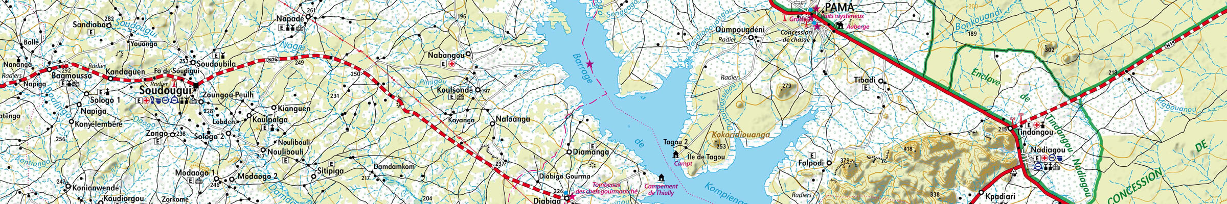
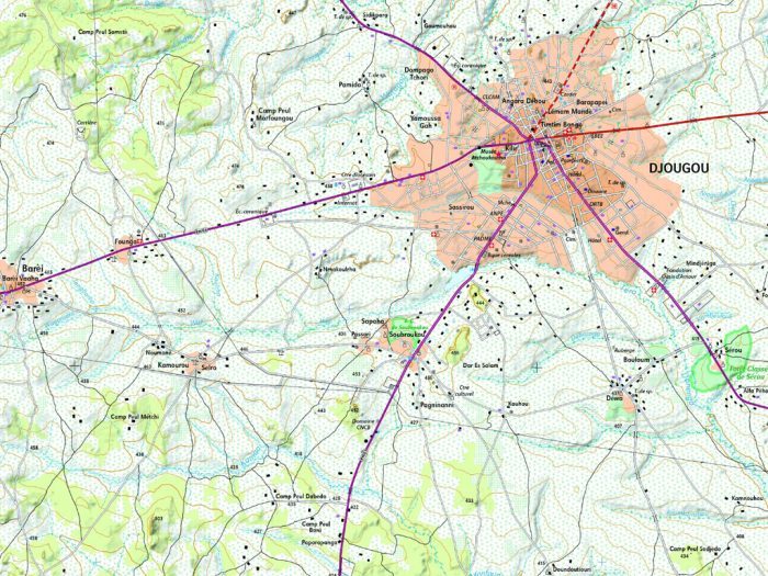
- Topographic reference mapping to national standards
- Specific thematic mapping
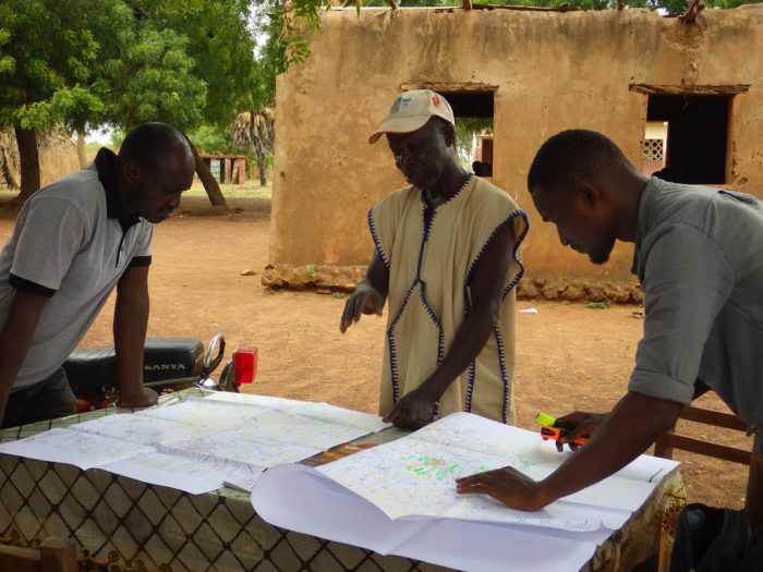
- Theoretical and practical training
- Implementation of mapping production lines with technology transfer