Creation of the national map, BENIN
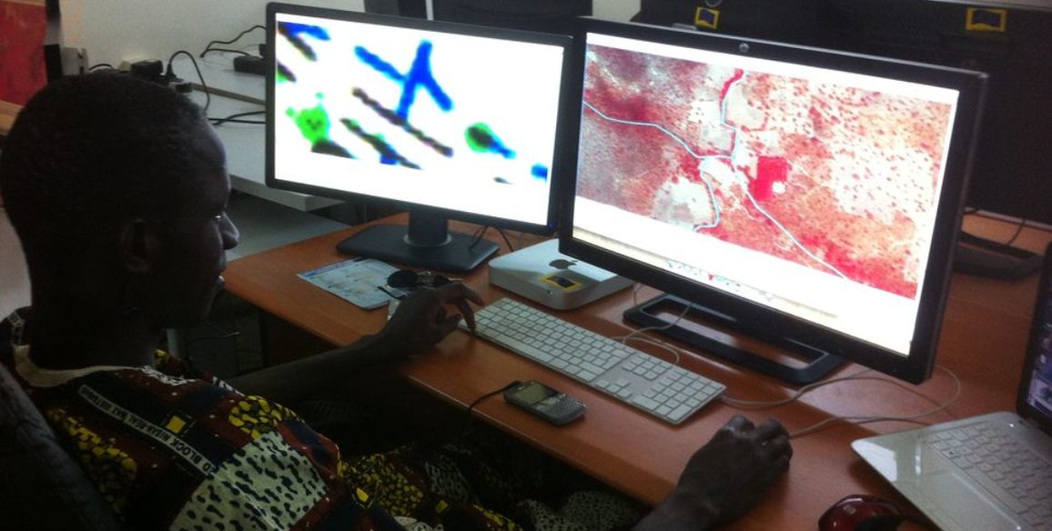
IGN FI was awarded the United Nations Development Programme (UNDP) tender in October 2014 for a project to create a master digital map of the entire territory of Benin at a 1:50,000 scale. Besides a few exceptions, the country’s maps had not been updated since it became independent. This project has been planned over a three-year period and its aim is to provide the information necessary to ensure the country’s sustainable development. All project work is carried out by local teams with a strong accent on skills transfer managed by IGN FI experts.
Creation of the country’s base mapping was part of a project called PAPDFGC (project aimed to support the preservation and development of gallery forests and production of the digital base map) which began on November 7th 2013. This project was co-financed by the European Union as part of the AMCC (Global Alliance against Climatic Change and the United Nations) programme for development covering the period 2012-2018. It also receinved support from the towns benefitting from project work and the government of Benin.
Download the projet sheet : Benin – creation of the national map
Main objectives and deliverables
- A national coverage in aerial photographs
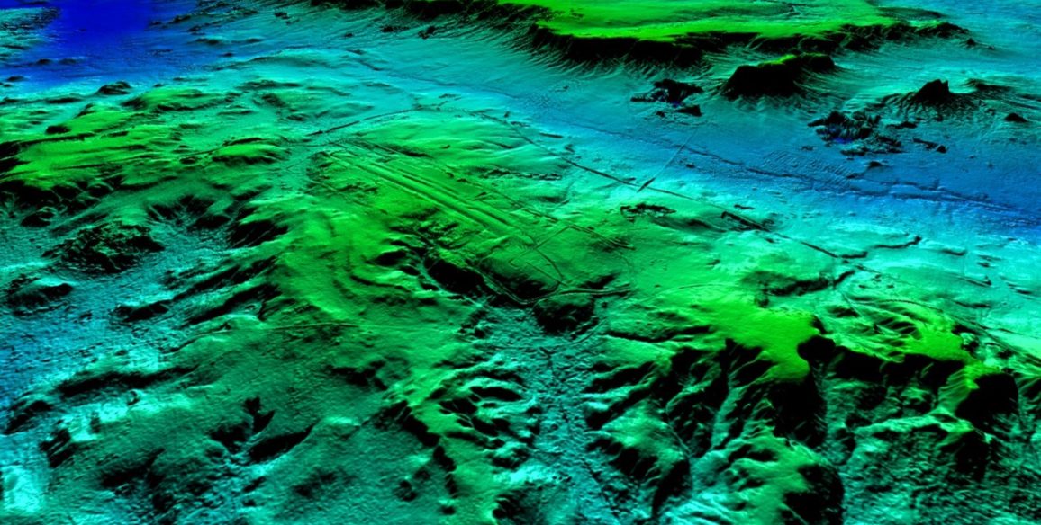
- A detailed digital terrain model (DTM)
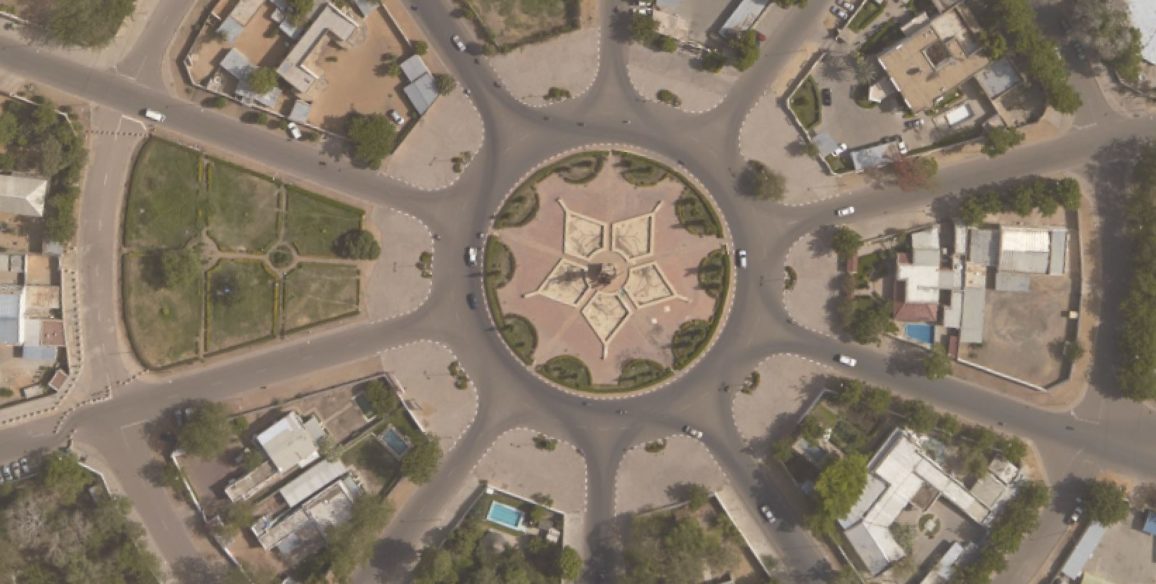
- A national coverage in high resolution ortho-photos
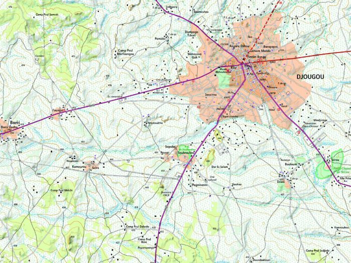
- A national geographic database
- New baseline topographic mapping
Key figures
- 120,000 sq.km photographed and mapped out
- 15,000 images acquired, down to a resolution better than 50 cm
- Production of a DTM – Grid: 1.5 m x 1.5 m – Altimetric accuracy: 1.5 m – Planimetric accuracy: 0.75 m
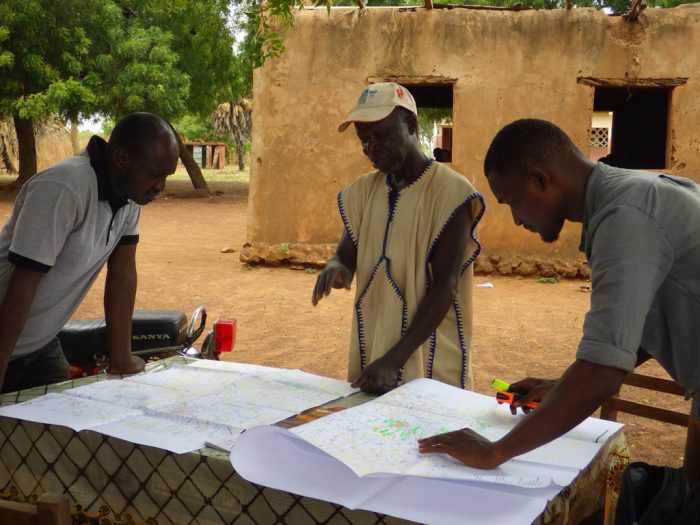
- Topographic database: sixty or so classes with more than 40,000 toponyms, more than 1,700 km of roads, 214,000 km of paths, 129,000 km of water courses, 9,025 water sources, 23,000 urban areas, 8,500 schools, 1,550 health structures, 9,400 places of worship have been completed by the IGN FI dedicated teams (30 stereoplotters, around 10 small field teams). Hundreds of thousands of kilometres covered by the field team by car, motorbike and canoe.
- Geoportal: several TB of data that can be consulted online
- 400 copies printed in offset colour, both flat and folded maps
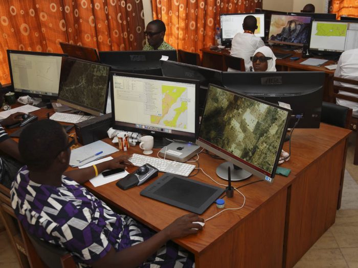
- 4 production workshops on site (image and DTM workshop, 3D stereo-plotting workshop, database workshop including field completion, mapping workhop)
- Around 50 local operators trained
Find out more about the project (in French)
La réalisation de la cartographie de base en bonne voie – PNUD – Mars 2016
La cartographie de base numérique, un outil d’aide à la décision – PNUD – Mai 2015

