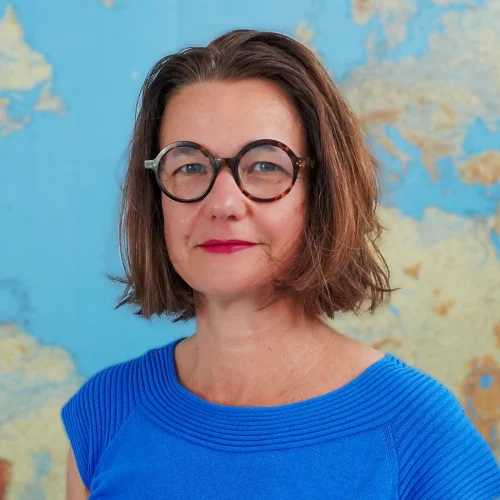
A state-certified geographic and cartographic engineer with a degree in geodesy from the University of New Brunswick (Canada), Aurélie Milledrogues worked for eight years as a consultant in the field of geomatics in France and abroad, then spent six years managing the IGN Conseil team and leading several projects. She has held the position of Deputy CEO - Technical and Quality Director at IGN FI since 2008. She was then appointed CEO of IGN FI and took up her duties on May 1, 2025.
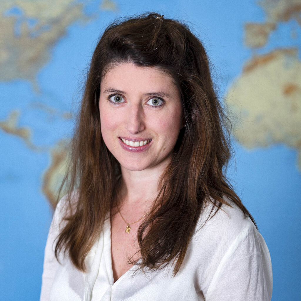
A graduate of Sciences Po Paris with a Master's degree in Finance and Strategy, Auriane Sacoman ran a mapping company from 2010 to 2018. She then held management positions in various organizations and fields (visual production and live performance). In 2022, she began working with IGN FI as an independent consultant on an aeronautical mapping project for the Senegalese Air Force. In September 2024, she was appointed Deputy Chief Executive Officer of IGN FI.
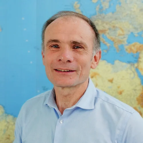
Geographer and urban planner with a degree from the Sorbonne University (France). Jean-Philippe has 32 years of experience in various activities related to land governance, land administration, land use planning, urban planning, GIS, and urban development. Jean-Philippe's experience extends to team leader and senior consultant positions with a wide range of donor agencies, which have enabled him to play a practical and in-depth role in project design, implementation, monitoring, and evaluation. He has been Director of Development at IGN FI since 2019.
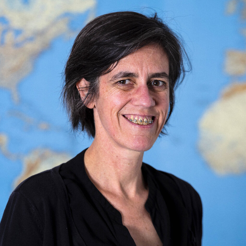
A graduate of the École Nationale Supérieure Agronomique de Rennes with a specialization in spatial information processing, Camille has been involved in coordinating international projects, international consortia, and multidisciplinary teams for over 20 years.
She joined IGN FI in 1998 as an environment and GIS expert, then as a project manager. From 2011 to 2020, she coordinated a vast program to transfer skills and support local teams in Central and West Africa in the use of satellite images to monitor land use dynamics.
She is familiar with the use, production, processing, and control of all types of geographic data. Today, she leads innovation and R&D at IGN FI.
She has been Technical Director since 2025, after serving as Deputy Technical Director for two years.
Engineering degree from the National School of Geographic Sciences (ENSG) and advanced degree in remote sensing from Paris 7 University.
Laurent worked for 14 years at IGN, where he participated in the development of digital cameras and then worked on satellite imagery. From 2010 to 2014, he collaborated with IGN FI for the first time as project manager on national cartography for Senegal, Mali, and Burkina Faso. He returned to IGN as imaging product manager.
He rejoined IGN FI in 2021 as project manager and expert in photogrammetry and spatial imaging. He is particularly involved in the flood prevention project in Senegal.
He has held the position of Deputy Technical Director since 2025.
Aude holds a degree from a business school and a master's degree in international marketing, international relations, and languages.
She has held positions in business development and marketing, always in connection with emerging countries.
She joined IGN FI in 2008.
She has held positions in business development and marketing, always in connection with emerging countries.
She joined IGN FI in 2008.
A graduate of Montpellier Business School and Sichuan University (China), Gaëtan Chaudagne has extensive international experience in managing projects with a strong institutional dimension.
After working for a major French industrial group, he spent seven years in China, where he held commercial responsibilities in the energy sector.
He joined IGN FI in 2014 and was given an extensive international remit covering Southeast Asia, Africa (particularly southern Africa) and the Caribbean.
Since 2022, he has refocused his activities on the Middle East, where he now serves as regional director and specialist for the area, supporting strategic projects and long-term institutional partnerships.
Alix holds a Master's degree in Urban Governance from Sciences Po Paris.
She began her career in Brazil, where she worked for two years in the field of mobility in São Paulo. She then joined MEDEF International in Paris, where she was head of the Sustainable Cities task force for four years.
She joined IGN FI in 2023.
She began her career in Brazil, where she worked for two years in the field of mobility in São Paulo. She then joined MEDEF International in Paris, where she was head of the Sustainable Cities task force for four years.
She joined IGN FI in 2023.
Florian holds a bachelor's degree in business management and a master's degree in sustainable development strategies, corporate social responsibility (CSR), and the environment. He specializes in change management within organizations.
Florian joined IGN FI in 2021 as part of the urban land modernization project in Côte d'Ivoire, where he spent three years helping to develop and implement training, communication, and user support strategies. He played a key role in structuring and deploying the company's e-learning solution.
In 2025, he joined IGN FI's commercial department as Regional Director for Asia.
Master's degree in geography with a specialization in physical and environmental geography.
Arthur joined IGN FI in 2018 as a remote sensing and GIS expert to produce land use maps as part of an agro-ecological zoning project in the Republic of Guinea.
He is involved in geomatics projects in the environmental field.
He has been Regional Director since 2025, after serving as IGN FI's sales manager in Ivory Coast in 2024.
Engineering degree from Télécom Physique Strasbourg and holder of a Master's degree in Photonics and Imaging.
Stéphane began his career as a project manager in remote sensing and geographic information systems at the Ministry of Defense and then at the Ministry of Ecology, before joining Geofit in 2013, where he managed international projects related to information systems.
He joined IGN FI in 2019.
Stéphane began his career as a project manager in remote sensing and geographic information systems at the Ministry of Defense and then at the Ministry of Ecology, before joining Geofit in 2013, where he managed international projects related to information systems.
He joined IGN FI in 2019.
Engineering degree from the École Nationale des Sciences Géographiques (ENSG) specializing in remote sensing and spatial analysis.
Ana joined IGN FI in 2024 as a remote sensing expert following her end-of-studies internship. She is involved in various land use projects.
Ana joined IGN FI in 2024 as a remote sensing expert following her end-of-studies internship. She is involved in various land use projects.
Engineering degree from the 3IL school in Limoges and holder of a master's degree in computer science.
Grégoire joined IGN FI in 2004 as IT manager.
He participates as an IT expert in numerous international projects, such as land projects in Tanzania, Uganda, Trinidad and Tobago, Ivory Coast, Senegal, etc.
With years of experience at IGN FI, Grégoire has excellent skills in IT security, database management systems, and server and network infrastructure, particularly in complex environments (unstable power supply, degraded local computer networks, or intermittent Internet access).
Degree in computer science and robotics from the Ecole Centrale de Lille.
Christophe specialized in geographic information systems in the 1990s. In 2002, he promoted the use of free software and then initiated the development of an open source framework for the implementation of geoportals with efficient processing tools, regardless of the volume of data to be processed. As Director of the IT department at GEOFIT between 2011 and 2023, he managed major platforms in France and supervised the implementation of numerous land information systems (LIS) in Uganda, Tanzania, Trinidad & Tobago, and elsewhere.
He joined IGN FI as a project manager and leads the teams dedicated to the implementation of LIS and project geoportals in Mali and Côte d'Ivoire (SIGFU).
Engineering degree from Paul Sabatier University in Toulouse in Environmental Engineering, specializing in geographic information science (SILAT - AgroParisTech).
Aurélia has participated in various projects combining remote sensing, GIS, and rural development, first in applied research (IRD, CIRAD, IRSTEA) and then in consulting (GEOFIT, IGN FI). In particular, she has contributed to the development of land use mapping production chains in a wide variety of fields (agriculture, natural resource management, defense, land tenure, etc.).
A member of the GEOFIT Group since 2016, she has, in particular, supported and coordinated land tenure security projects in rural areas and the implementation of land information systems internationally (Senegal, Madagascar, Mali, Ivory Coast).
She joined IGN FI in 2020 as an expert in rural land and natural resource management.
Master's degree in geomatics applied to urban studies and risk management.
Lukas worked for a proptech start-up in Germany as a geographic data expert.
He joined IGN FI in 2021 as a GIS & database expert. He is involved in the SIGFU and PADA projects in Ivory Coast.
Lukas worked for a proptech start-up in Germany as a geographic data expert.
He joined IGN FI in 2021 as a GIS & database expert. He is involved in the SIGFU and PADA projects in Ivory Coast.
Diploma in Geographic and Cartographic Engineering from the ENSG (National School of Geographic and Cartographic Engineering), specializing in geomatics and development project management (Master's degree - University of Avignon).
For nine years, Yvan worked at the National Institute of Geographic and Forest Information (IGN), first in the vector database production and updating department, then in the IGN Consulting department.
In 2014, he joined IGN FI as a geographic information system (GIS)/database expert and project manager. He designs and implements vector data production chains for projects that require them. He works mainly on topics related to cadastre, reference mapping, the environment (land use mapping), NSDI, and defense.
Studied geology at university (Toulouse then Bordeaux), followed by a degree in surveying from the National School of Geographical Sciences (ENSG).
Sylvain then worked for IGN from 2013 to 2022, where he was a technical advisor in geodesy and metrology within the geodesy and metrology department (SGM). He has regularly been on assignment for IGN FI since 2014: in Haiti, then Saudi Arabia, Mauritania, Senegal, Benin, Uganda, Cameroon, etc. This has alternated with field work in France, particularly on missions to monitor engineering structures.
He joined IGN FI in January 2023 as a geodesy expert.
Engineering degree from the National School of Geographic Sciences (ENSG) and Master's degree in software engineering from Télécom ParisTech.
After twelve years with the Ministry of Defense, Nicolas joined IGN in 2006. He is involved in database administration and production support for various cartographic production chains.
From 2012 to 2016, he worked with IGN FI for the first time, leading the project to modernize the Geographic Institute of Mali (IGM) with a complete transfer of skills, which resulted in the creation of a multi-theme national cartographic database.
Since 2016, he has been involved in setting up a new multi-scale cartographic infrastructure to modernize and harmonize IGN's digital and paper production chains.
He joined IGN FI in 2021 as a technical expert in GIS/cartography and databases.
Professional degree in Environmental Protection and Management from the National School of Geographic Sciences (ENSG).
Sébastien joined IGN FI in 2018 as an accounting and administrative assistant, then resumed his studies in 2022 in geomatics.
As a GIS expert, he is involved in the PGIIS project in Senegal.
Sébastien joined IGN FI in 2018 as an accounting and administrative assistant, then resumed his studies in 2022 in geomatics.
As a GIS expert, he is involved in the PGIIS project in Senegal.
Advanced degree in geography, environment, and spatial analysis using remote sensing, and graduate degree in ecology from the University of Rennes.
Gabriel is a recognized European expert and advisor in the field of land use and its dynamics based on satellite imagery. For over 20 years, he has managed numerous cartographic and thematic projects in Europe and internationally.
He joined IGN FI in 1995 as a land use expert and project manager. He has been responsible for quality control on several land use and land use change projects, first in Europe as an expert with the European Environment Agency, then in Central and South America, and finally in North, Central, and West Africa. He is currently leading a major project to validate and control the quality of cartographic products as part of the COPERNICUS Hot Spot Monitoring program, which is made up of a consortium of several European partners.
Gabriel is heavily involved in experimental projects on ecosystem accounting for natural capital and is the author and co-author of several scientific publications.
After earning a PhD in image processing from the University of Toulouse, Antoine went on to complete two postdoctoral fellowships at IGN France and CNES. After spending just over five years at SIRS/CLS as a project manager and then head of R&D, he joined IGN FI in 2024 as Director of Earth Observation Projects.
Degree in Agricultural Engineering specializing in Agricultural Development and Financing (DEV – ISTOM) & Master's Degree in Emerging and Developing Country Dynamics (DynPED – Paris 1 Panthéon-Sorbonne University).
Mathilde has worked on research projects focusing on land dynamics and stakeholder interactions in rural Mexico (LMI MESO).
She joined IGN FI in January 2021 as an expert in rural land issues.
Mathilde has worked on research projects focusing on land dynamics and stakeholder interactions in rural Mexico (LMI MESO).
She joined IGN FI in January 2021 as an expert in rural land issues.
Bachelor's degree in Materials Science and Master's degree in Geo-risks and Environmental Information.
Adrien has participated in several international projects that have allowed him to strengthen his experience in the field of geomatics concerning land use, the environment, and its dynamics. Most recently, he was coordinator and head of production methods for the agroecological zoning project in Guinea, as well as project manager for the quality assessment of the Corine Land Cover 2018 database and its changes.
He joined IGN FI in 2015 as a GIS & remote sensing expert. He also works as a geomatics trainer on projects.
Graduate of the National School of Geographic Sciences (ENSG).
Stéphane began his career at the IGN's Geodesy and Metrology Department, working on projects in France and abroad. His experience is based on a range of activities carried out for various organizations: head of topography for the High Commission in French Polynesia, project manager for cadastral supervision in Nicaragua for IGNFI, and various positions at the Compagnie Nationale du Rhône (CNR) in the fields of topography, bathymetry, institutional relations, project management, and team management.
He joined IGN FI in 2021 as deputy project manager on an urban land project in Côte d'Ivoire (SIGFU).
International Master's degree in “Agricultural, Food and Environmental Science and Technology” (Master 3A) specializing in soil, from the Institut Agro Montpellier.
Jean-Abdoulaye joined IGN FI in 2021, where he holds the position of thematic expert in natural capital ecosystem accounting (CECN) and GIS expert. He helped set up CECN in Guinea and is involved in various projects in Europe and internationally in the field of environmental monitoring.
He is currently preparing a thesis on the characterization of ecological connectivity in tropical Africa in order to improve natural capital assessments (with the ThéMA laboratory at the University of Franche Comté, Besançon).
Engineering degree specializing in international development and tropical agronomy from the National Center for Agronomic Studies in Hot Regions (CNEARC - Montpellier, France) with a specialization in rural development: natural and land resource management.
Émilie worked for the National Land Program in Madagascar as a project manager and then for GEOFIT as a technical advisor on the land security project in the Malagasy highlands between 2005 and 2009. As a project manager and then consultant for GRET, she helped to lead the Technical Committee on Land and Development in 2009 and 2010.
As an international technical expert (ITE) for the Ministry for Europe and Foreign Affairs (MEAE) from 2011 onwards, she participated in the implementation and reorientation of national land policy through the development of decentralized land services in Madagascar. She then served as technical advisor to the Minister of Decentralization and Local Governance (MDGL) and head of the addressing project from 2015 to 2018 in Benin.
She joined IGN FI in 2021 as an expert in rural land and natural resource management.
Graduate of the National School of Geographic Sciences (ENSG), specializing in cartography.
Alain worked for 26 years at IGN Espace in satellite image processing and interpretation, as well as in cartographic data production.
He joined IGN FI in 2016 as a technical expert in cartography and image processing.
He has been involved in national database and cartography projects in Senegal, Mali, Burkina Faso, Benin, and Chad.
Engineering degree from the National School of Geographic Sciences (ENSG), Master's degree in Astronomy, Celestial Mechanics, and Geodesy.
Cyril has been involved in various geodesy projects around the world, mainly on behalf of the IGN and IGN FI geodesy departments. He also taught at the ENSG for three years. He has led numerous national and international projects, including geodesy, bathymetry, and aerial photography projects in Sudan and South Sudan.
After leading a national geographic infrastructure project (including the creation of a national geoid model) in Benin from 2014 to 2017, he has been Project Manager in Uganda since 2018, working on the creation of a national geodetic network and the establishment of a network of permanent GNSS stations.
Graduate of the Faculty of Law in Bucharest.
Cristina worked for 10 years as a GIS expert, production coordinator, and project manager at IGN FI's Romanian subsidiary.
Over the next eight years, she continued to work with IGN FI, involved in several land projects, notably in Uganda and Tanzania as a dematerialization expert. She is currently responsible for the preliminary study and development of digital cadastral maps as part of an FSN project in Cameroon and the data conversion component of the SIGFU project in Côte d'Ivoire.
MSc GEOENGINE degree from Stuttgart (Germany) in 2022, specializing in image processing, LiDAR, and navigation (GNSS, IMU).
During his first experience with IGN FI on a project in Benin (2015-2018), Valentin managed image processing for the production of DTM and ortho/mosaic coverage of the country.
In 2018, he joined Argans Ltd, where he coordinated two coastal bathymetry projects using Satellite Derived Bathymetry (SDB).
In 2021, Valentin completed his master's thesis in partnership with Planet Labs, where he developed the ‘MVS DSM from Planetscope’ algorithm.
In 2022, he joined IGN FI to work on a flood modeling project in Senegal (PGIIS) for the processing of aerial data (optical and LiDAR).
Degree from the Faculty of Foreign Languages and Literatures at the University of Bucharest.
Irina was production coordinator and project manager at IGN FI's Romanian subsidiary for eight years.
She joined IGN FI in early 2009 and is involved in monitoring and controlling data quality prior to delivery, as well as working as a GIS expert. She is participating in a project in Uganda to set up a national land information system.
Engineering degree from the National School of Geographic Sciences (ENSG), specializing in photogrammetry, positioning, and deformation measurements (PPMD).
Franck worked for 10 years at IGN, as part of the team responsible for aerial imaging. He was involved in every stage of the photogrammetric and lasergrammetric processes deployed at the IGN.
He discovered IGN FI in 2017 during a short assignment in Chad, then joined the team in 2024 as a photogrammetry expert.
Doctorate in Remote Sensing - Master's degree in Ecology from Pierre and Marie Curie University (UPMC) & Master's degree in Remote Sensing and Geomatics Applied to the Environment from the University of Paris (formerly Paris 7).
Doctoral thesis at IGN FI on “Monitoring vegetation changes in tropical and equatorial Africa using remote sensing: evaluating the potential contribution of new optical and radar satellite sensors” through the use of time series and open source tools.
Detection of degraded forests using Sentinel-2 optical time series through deep learning.
She also provides training in radar remote sensing, particularly in Gabon, Benin, and Ethiopia.
A state-certified geographic and cartographic engineer with a degree in geodesy from the University of New Brunswick (Canada), Aurélie Milledrogues worked for eight years as a consultant in the field of geomatics in France and abroad, then spent six years managing the IGN Conseil team and leading several projects. She has held the position of Deputy CEO - Technical and Quality Director at IGN FI since 2008. She was then appointed CEO of IGN FI and took up her duties on May 1, 2025.
A graduate of Sciences Po Paris with a Master's degree in Finance and Strategy, Auriane Sacoman ran a mapping company from 2010 to 2018. She then held management positions in various organizations and fields (visual production and live performance). In 2022, she began working with IGN FI as an independent consultant on an aeronautical mapping project for the Senegalese Air Force. In September 2024, she was appointed Deputy Chief Executive Officer of IGN FI.
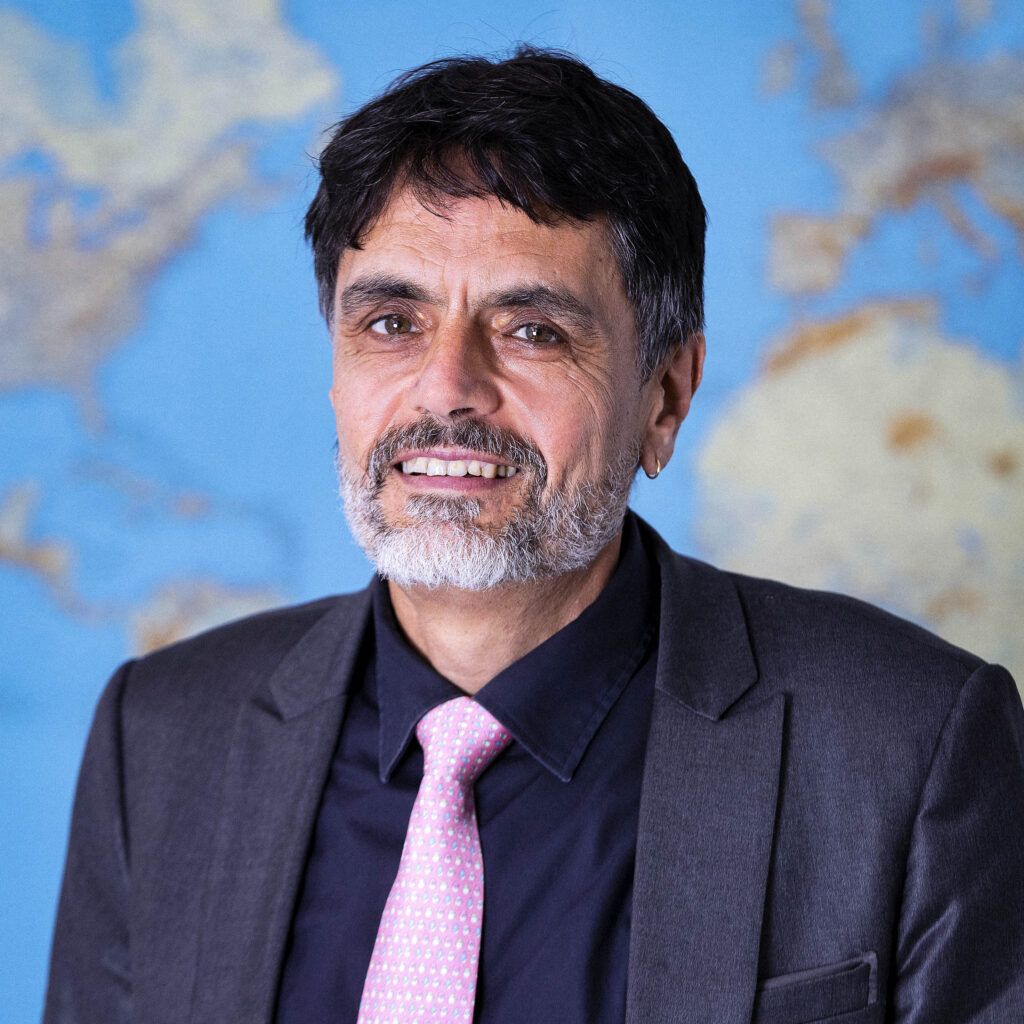
Geographer and urban planner with a degree from the Sorbonne University (France). Jean-Philippe has 32 years of experience in various activities related to land governance, land administration, land use planning, urban planning, GIS, and urban development. Jean-Philippe's experience extends to team leader and senior consultant positions with a wide range of donor agencies, which have enabled him to play a practical and in-depth role in project design, implementation, monitoring, and evaluation. He has been Director of Development at IGN FI since 2019.
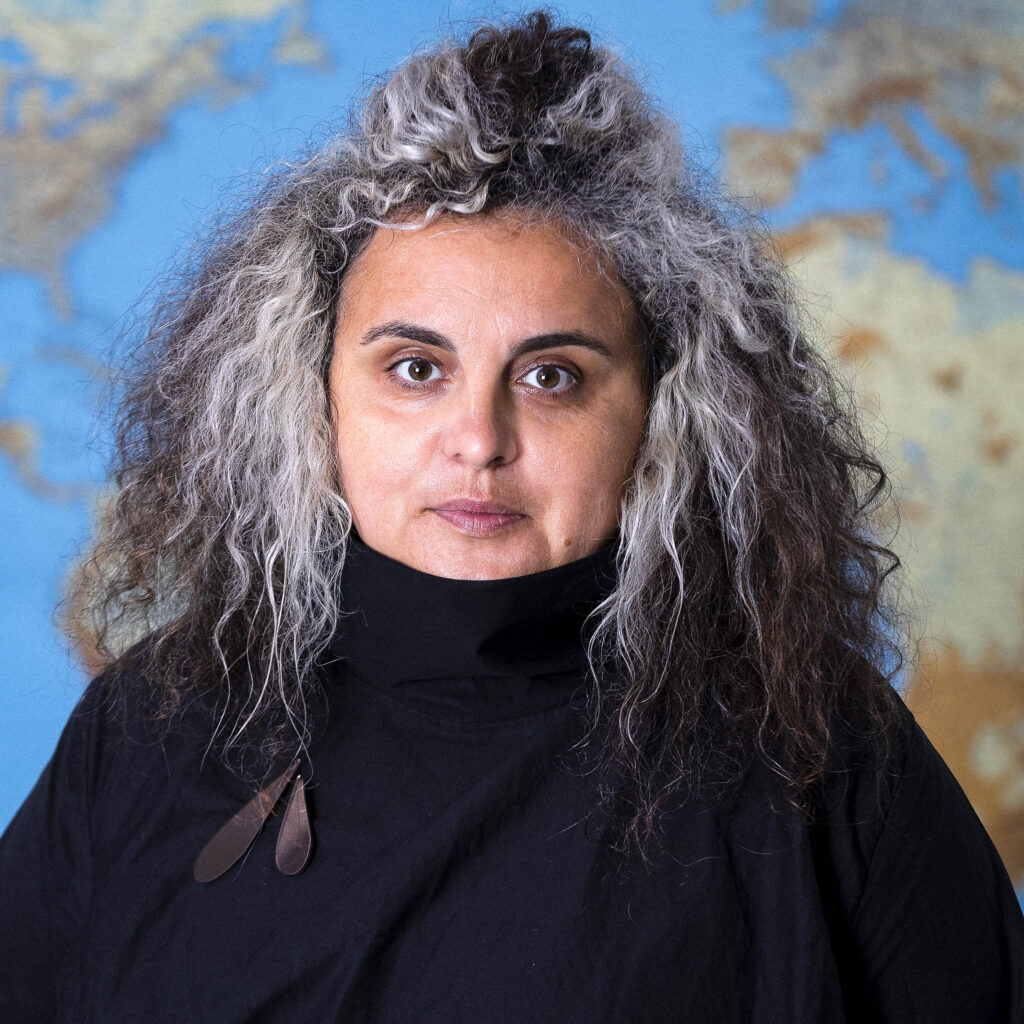
A graduate of the École Nationale Supérieure Agronomique de Rennes with a specialization in spatial information processing, Camille has been involved in coordinating international projects, international consortia, and multidisciplinary teams for over 20 years.
She joined IGN FI in 1998 as an environment and GIS expert, then as a project manager. From 2011 to 2020, she coordinated a vast program to transfer skills and support local teams in Central and West Africa in the use of satellite images to monitor land use dynamics.
She is familiar with the use, production, processing, and control of all types of geographic data. Today, she leads innovation and R&D at IGN FI.
She has been Technical Director since 2025, after serving as Deputy Technical Director for two years.
She joined IGN FI in 1998 as an environment and GIS expert, then as a project manager. From 2011 to 2020, she coordinated a vast program to transfer skills and support local teams in Central and West Africa in the use of satellite images to monitor land use dynamics.
She is familiar with the use, production, processing, and control of all types of geographic data. Today, she leads innovation and R&D at IGN FI.
She has been Technical Director since 2025, after serving as Deputy Technical Director for two years.
Engineering degree from the National School of Geographic Sciences (ENSG) and advanced degree in remote sensing from Paris 7 University.
Laurent worked for 14 years at IGN, where he participated in the development of digital cameras and then worked on satellite imagery. From 2010 to 2014, he collaborated with IGN FI for the first time as project manager on national cartography for Senegal, Mali, and Burkina Faso. He returned to IGN as imaging product manager.
He rejoined IGN FI in 2021 as project manager and expert in photogrammetry and spatial imaging. He is particularly involved in the flood prevention project in Senegal.
He has held the position of Deputy Technical Director since 2025.
Laurent worked for 14 years at IGN, where he participated in the development of digital cameras and then worked on satellite imagery. From 2010 to 2014, he collaborated with IGN FI for the first time as project manager on national cartography for Senegal, Mali, and Burkina Faso. He returned to IGN as imaging product manager.
He rejoined IGN FI in 2021 as project manager and expert in photogrammetry and spatial imaging. He is particularly involved in the flood prevention project in Senegal.
He has held the position of Deputy Technical Director since 2025.
Aude holds a degree from a business school and a master's degree in international marketing, international relations, and languages.
She has held positions in business development and marketing, always in connection with emerging countries.
She joined IGN FI in 2008.
She has held positions in business development and marketing, always in connection with emerging countries.
She joined IGN FI in 2008.
A graduate of Montpellier Business School and Sichuan University (China), Gaëtan Chaudagne has extensive international experience in managing projects with a strong institutional dimension.
After working for a major French industrial group, he spent seven years in China, where he held commercial responsibilities in the energy sector.
He joined IGN FI in 2014 and was given an extensive international remit covering Southeast Asia, Africa (particularly southern Africa) and the Caribbean.
Since 2022, he has refocused his activities on the Middle East, where he now serves as regional director and specialist for the area, supporting strategic projects and long-term institutional partnerships.
After working for a major French industrial group, he spent seven years in China, where he held commercial responsibilities in the energy sector.
He joined IGN FI in 2014 and was given an extensive international remit covering Southeast Asia, Africa (particularly southern Africa) and the Caribbean.
Since 2022, he has refocused his activities on the Middle East, where he now serves as regional director and specialist for the area, supporting strategic projects and long-term institutional partnerships.
Alix holds a Master's degree in Urban Governance from Sciences Po Paris.
She began her career in Brazil, where she worked for two years in the field of mobility in São Paulo. She then joined MEDEF International in Paris, where she was head of the Sustainable Cities task force for four years.
She joined IGN FI in 2023.
She began her career in Brazil, where she worked for two years in the field of mobility in São Paulo. She then joined MEDEF International in Paris, where she was head of the Sustainable Cities task force for four years.
She joined IGN FI in 2023.
Florian holds a bachelor's degree in business management and a master's degree in sustainable development strategies, corporate social responsibility (CSR), and the environment. He specializes in change management within organizations.
Florian joined IGN FI in 2021 as part of the urban land modernization project in Côte d'Ivoire, where he spent three years helping to develop and implement training, communication, and user support strategies. He played a key role in structuring and deploying the company's e-learning solution.
In 2025, he joined IGN FI's commercial department as Regional Director for Asia.
Florian joined IGN FI in 2021 as part of the urban land modernization project in Côte d'Ivoire, where he spent three years helping to develop and implement training, communication, and user support strategies. He played a key role in structuring and deploying the company's e-learning solution.
In 2025, he joined IGN FI's commercial department as Regional Director for Asia.
Master's degree in geography with a specialization in physical and environmental geography.
Arthur joined IGN FI in 2018 as a remote sensing and GIS expert to produce land use maps as part of an agro-ecological zoning project in the Republic of Guinea.
He is involved in geomatics projects in the environmental field.
He has been Regional Director since 2025, after serving as IGN FI's sales manager in Ivory Coast in 2024.
Arthur joined IGN FI in 2018 as a remote sensing and GIS expert to produce land use maps as part of an agro-ecological zoning project in the Republic of Guinea.
He is involved in geomatics projects in the environmental field.
He has been Regional Director since 2025, after serving as IGN FI's sales manager in Ivory Coast in 2024.
Engineering degree from Télécom Physique Strasbourg and holder of a Master's degree in Photonics and Imaging.
Stéphane began his career as a project manager in remote sensing and geographic information systems at the Ministry of Defense and then at the Ministry of Ecology, before joining Geofit in 2013, where he managed international projects related to information systems.
He joined IGN FI in 2019.
Stéphane began his career as a project manager in remote sensing and geographic information systems at the Ministry of Defense and then at the Ministry of Ecology, before joining Geofit in 2013, where he managed international projects related to information systems.
He joined IGN FI in 2019.
A graduate of the École Nationale Supérieure Agronomique de Rennes with a specialization in spatial information processing, Camille has been involved in coordinating international projects, international consortia, and multidisciplinary teams for over 20 years.
She joined IGN FI in 1998 as an environment and GIS expert, then as a project manager. From 2011 to 2020, she coordinated a vast program to transfer skills and support local teams in Central and West Africa in the use of satellite images to monitor land use dynamics.
She is familiar with the use, production, processing, and control of all types of geographic data. Today, she leads innovation and R&D at IGN FI.
She has been Technical Director since 2025, after serving as Deputy Technical Director for two years.
She joined IGN FI in 1998 as an environment and GIS expert, then as a project manager. From 2011 to 2020, she coordinated a vast program to transfer skills and support local teams in Central and West Africa in the use of satellite images to monitor land use dynamics.
She is familiar with the use, production, processing, and control of all types of geographic data. Today, she leads innovation and R&D at IGN FI.
She has been Technical Director since 2025, after serving as Deputy Technical Director for two years.
Engineering degree from the National School of Geographic Sciences (ENSG) and advanced degree in remote sensing from Paris 7 University.
Laurent worked for 14 years at IGN, where he participated in the development of digital cameras and then worked on satellite imagery. From 2010 to 2014, he collaborated with IGN FI for the first time as project manager on national cartography for Senegal, Mali, and Burkina Faso. He returned to IGN as imaging product manager.
He rejoined IGN FI in 2021 as project manager and expert in photogrammetry and spatial imaging. He is particularly involved in the flood prevention project in Senegal.
He has held the position of Deputy Technical Director since 2025.
Laurent worked for 14 years at IGN, where he participated in the development of digital cameras and then worked on satellite imagery. From 2010 to 2014, he collaborated with IGN FI for the first time as project manager on national cartography for Senegal, Mali, and Burkina Faso. He returned to IGN as imaging product manager.
He rejoined IGN FI in 2021 as project manager and expert in photogrammetry and spatial imaging. He is particularly involved in the flood prevention project in Senegal.
He has held the position of Deputy Technical Director since 2025.
Engineering degree from the École Nationale des Sciences Géographiques (ENSG) specializing in remote sensing and spatial analysis.
Ana joined IGN FI in 2024 as a remote sensing expert following her end-of-studies internship. She is involved in various land use projects.
Ana joined IGN FI in 2024 as a remote sensing expert following her end-of-studies internship. She is involved in various land use projects.
Master's degree in geomatics applied to urban studies and risk management.
Lukas worked for a proptech start-up in Germany as a geographic data expert.
He joined IGN FI in 2021 as a GIS & database expert. He is involved in the SIGFU and PADA projects in Ivory Coast.
Lukas worked for a proptech start-up in Germany as a geographic data expert.
He joined IGN FI in 2021 as a GIS & database expert. He is involved in the SIGFU and PADA projects in Ivory Coast.
Engineering degree from the 3IL school in Limoges and holder of a master's degree in computer science.
Grégoire joined IGN FI in 2004 as IT manager.
He participates as an IT expert in numerous international projects, such as land projects in Tanzania, Uganda, Trinidad and Tobago, Ivory Coast, Senegal, etc.
With years of experience at IGN FI, Grégoire has excellent skills in IT security, database management systems, and server and network infrastructure, particularly in complex environments (unstable power supply, degraded local computer networks, or intermittent Internet access).
Grégoire joined IGN FI in 2004 as IT manager.
He participates as an IT expert in numerous international projects, such as land projects in Tanzania, Uganda, Trinidad and Tobago, Ivory Coast, Senegal, etc.
With years of experience at IGN FI, Grégoire has excellent skills in IT security, database management systems, and server and network infrastructure, particularly in complex environments (unstable power supply, degraded local computer networks, or intermittent Internet access).
Degree in computer science and robotics from the Ecole Centrale de Lille.
Christophe specialized in geographic information systems in the 1990s. In 2002, he promoted the use of free software and then initiated the development of an open source framework for the implementation of geoportals with efficient processing tools, regardless of the volume of data to be processed. As Director of the IT department at GEOFIT between 2011 and 2023, he managed major platforms in France and supervised the implementation of numerous land information systems (LIS) in Uganda, Tanzania, Trinidad & Tobago, and elsewhere.
He joined IGN FI as a project manager and leads the teams dedicated to the implementation of LIS and project geoportals in Mali and Côte d'Ivoire (SIGFU).
Christophe specialized in geographic information systems in the 1990s. In 2002, he promoted the use of free software and then initiated the development of an open source framework for the implementation of geoportals with efficient processing tools, regardless of the volume of data to be processed. As Director of the IT department at GEOFIT between 2011 and 2023, he managed major platforms in France and supervised the implementation of numerous land information systems (LIS) in Uganda, Tanzania, Trinidad & Tobago, and elsewhere.
He joined IGN FI as a project manager and leads the teams dedicated to the implementation of LIS and project geoportals in Mali and Côte d'Ivoire (SIGFU).
Engineering degree from Paul Sabatier University in Toulouse in Environmental Engineering, specializing in geographic information science (SILAT - AgroParisTech).
Aurélia has participated in various projects combining remote sensing, GIS, and rural development, first in applied research (IRD, CIRAD, IRSTEA) and then in consulting (GEOFIT, IGN FI). In particular, she has contributed to the development of land use mapping production chains in a wide variety of fields (agriculture, natural resource management, defense, land tenure, etc.).
A member of the GEOFIT Group since 2016, she has, in particular, supported and coordinated land tenure security projects in rural areas and the implementation of land information systems internationally (Senegal, Madagascar, Mali, Ivory Coast).
She joined IGN FI in 2020 as an expert in rural land and natural resource management.
Aurélia has participated in various projects combining remote sensing, GIS, and rural development, first in applied research (IRD, CIRAD, IRSTEA) and then in consulting (GEOFIT, IGN FI). In particular, she has contributed to the development of land use mapping production chains in a wide variety of fields (agriculture, natural resource management, defense, land tenure, etc.).
A member of the GEOFIT Group since 2016, she has, in particular, supported and coordinated land tenure security projects in rural areas and the implementation of land information systems internationally (Senegal, Madagascar, Mali, Ivory Coast).
She joined IGN FI in 2020 as an expert in rural land and natural resource management.
Diploma in Geographic and Cartographic Engineering from the ENSG (National School of Geographic and Cartographic Engineering), specializing in geomatics and development project management (Master's degree - University of Avignon).
For nine years, Yvan worked at the National Institute of Geographic and Forest Information (IGN), first in the vector database production and updating department, then in the IGN Consulting department.
In 2014, he joined IGN FI as a geographic information system (GIS)/database expert and project manager. He designs and implements vector data production chains for projects that require them. He works mainly on topics related to cadastre, reference mapping, the environment (land use mapping), NSDI, and defense.
For nine years, Yvan worked at the National Institute of Geographic and Forest Information (IGN), first in the vector database production and updating department, then in the IGN Consulting department.
In 2014, he joined IGN FI as a geographic information system (GIS)/database expert and project manager. He designs and implements vector data production chains for projects that require them. He works mainly on topics related to cadastre, reference mapping, the environment (land use mapping), NSDI, and defense.
Studied geology at university (Toulouse then Bordeaux), followed by a degree in surveying from the National School of Geographical Sciences (ENSG).
Sylvain then worked for IGN from 2013 to 2022, where he was a technical advisor in geodesy and metrology within the geodesy and metrology department (SGM). He has regularly been on assignment for IGN FI since 2014: in Haiti, then Saudi Arabia, Mauritania, Senegal, Benin, Uganda, Cameroon, etc. This has alternated with field work in France, particularly on missions to monitor engineering structures.
He joined IGN FI in January 2023 as a geodesy expert.
Sylvain then worked for IGN from 2013 to 2022, where he was a technical advisor in geodesy and metrology within the geodesy and metrology department (SGM). He has regularly been on assignment for IGN FI since 2014: in Haiti, then Saudi Arabia, Mauritania, Senegal, Benin, Uganda, Cameroon, etc. This has alternated with field work in France, particularly on missions to monitor engineering structures.
He joined IGN FI in January 2023 as a geodesy expert.
Engineering degree from the National School of Geographic Sciences (ENSG) and Master's degree in software engineering from Télécom ParisTech.
After twelve years with the Ministry of Defense, Nicolas joined IGN in 2006. He is involved in database administration and production support for various cartographic production chains.
From 2012 to 2016, he worked with IGN FI for the first time, leading the project to modernize the Geographic Institute of Mali (IGM) with a complete transfer of skills, which resulted in the creation of a multi-theme national cartographic database.
Since 2016, he has been involved in setting up a new multi-scale cartographic infrastructure to modernize and harmonize IGN's digital and paper production chains.
He joined IGN FI in 2021 as a technical expert in GIS/cartography and databases.
After twelve years with the Ministry of Defense, Nicolas joined IGN in 2006. He is involved in database administration and production support for various cartographic production chains.
From 2012 to 2016, he worked with IGN FI for the first time, leading the project to modernize the Geographic Institute of Mali (IGM) with a complete transfer of skills, which resulted in the creation of a multi-theme national cartographic database.
Since 2016, he has been involved in setting up a new multi-scale cartographic infrastructure to modernize and harmonize IGN's digital and paper production chains.
He joined IGN FI in 2021 as a technical expert in GIS/cartography and databases.
Professional degree in Environmental Protection and Management from the National School of Geographic Sciences (ENSG).
Sébastien joined IGN FI in 2018 as an accounting and administrative assistant, then resumed his studies in 2022 in geomatics.
As a GIS expert, he is involved in the PGIIS project in Senegal.
Sébastien joined IGN FI in 2018 as an accounting and administrative assistant, then resumed his studies in 2022 in geomatics.
As a GIS expert, he is involved in the PGIIS project in Senegal.
Advanced degree in geography, environment, and spatial analysis using remote sensing, and graduate degree in ecology from the University of Rennes.
Gabriel is a recognized European expert and advisor in the field of land use and its dynamics based on satellite imagery. For over 20 years, he has managed numerous cartographic and thematic projects in Europe and internationally.
He joined IGN FI in 1995 as a land use expert and project manager. He has been responsible for quality control on several land use and land use change projects, first in Europe as an expert with the European Environment Agency, then in Central and South America, and finally in North, Central, and West Africa. He is currently leading a major project to validate and control the quality of cartographic products as part of the COPERNICUS Hot Spot Monitoring program, which is made up of a consortium of several European partners.
Gabriel is heavily involved in experimental projects on ecosystem accounting for natural capital and is the author and co-author of several scientific publications.
Gabriel is a recognized European expert and advisor in the field of land use and its dynamics based on satellite imagery. For over 20 years, he has managed numerous cartographic and thematic projects in Europe and internationally.
He joined IGN FI in 1995 as a land use expert and project manager. He has been responsible for quality control on several land use and land use change projects, first in Europe as an expert with the European Environment Agency, then in Central and South America, and finally in North, Central, and West Africa. He is currently leading a major project to validate and control the quality of cartographic products as part of the COPERNICUS Hot Spot Monitoring program, which is made up of a consortium of several European partners.
Gabriel is heavily involved in experimental projects on ecosystem accounting for natural capital and is the author and co-author of several scientific publications.
After earning a PhD in image processing from the University of Toulouse, Antoine went on to complete two postdoctoral fellowships at IGN France and CNES. After spending just over five years at SIRS/CLS as a project manager and then head of R&D, he joined IGN FI in 2024 as Director of Earth Observation Projects.
Degree in Agricultural Engineering specializing in Agricultural Development and Financing (DEV – ISTOM) & Master's Degree in Emerging and Developing Country Dynamics (DynPED – Paris 1 Panthéon-Sorbonne University).
Mathilde has worked on research projects focusing on land dynamics and stakeholder interactions in rural Mexico (LMI MESO).
She joined IGN FI in January 2021 as an expert in rural land issues.
Mathilde has worked on research projects focusing on land dynamics and stakeholder interactions in rural Mexico (LMI MESO).
She joined IGN FI in January 2021 as an expert in rural land issues.
Bachelor's degree in Materials Science and Master's degree in Geo-risks and Environmental Information.
Adrien has participated in several international projects that have allowed him to strengthen his experience in the field of geomatics concerning land use, the environment, and its dynamics. Most recently, he was coordinator and head of production methods for the agroecological zoning project in Guinea, as well as project manager for the quality assessment of the Corine Land Cover 2018 database and its changes.
He joined IGN FI in 2015 as a GIS & remote sensing expert. He also works as a geomatics trainer on projects.
Adrien has participated in several international projects that have allowed him to strengthen his experience in the field of geomatics concerning land use, the environment, and its dynamics. Most recently, he was coordinator and head of production methods for the agroecological zoning project in Guinea, as well as project manager for the quality assessment of the Corine Land Cover 2018 database and its changes.
He joined IGN FI in 2015 as a GIS & remote sensing expert. He also works as a geomatics trainer on projects.
Graduate of the National School of Geographic Sciences (ENSG).
Stéphane began his career at the IGN's Geodesy and Metrology Department, working on projects in France and abroad. His experience is based on a range of activities carried out for various organizations: head of topography for the High Commission in French Polynesia, project manager for cadastral supervision in Nicaragua for IGNFI, and various positions at the Compagnie Nationale du Rhône (CNR) in the fields of topography, bathymetry, institutional relations, project management, and team management.
He joined IGN FI in 2021 as deputy project manager on an urban land project in Côte d'Ivoire (SIGFU).
Stéphane began his career at the IGN's Geodesy and Metrology Department, working on projects in France and abroad. His experience is based on a range of activities carried out for various organizations: head of topography for the High Commission in French Polynesia, project manager for cadastral supervision in Nicaragua for IGNFI, and various positions at the Compagnie Nationale du Rhône (CNR) in the fields of topography, bathymetry, institutional relations, project management, and team management.
He joined IGN FI in 2021 as deputy project manager on an urban land project in Côte d'Ivoire (SIGFU).
International Master's degree in “Agricultural, Food and Environmental Science and Technology” (Master 3A) specializing in soil, from the Institut Agro Montpellier.
Jean-Abdoulaye joined IGN FI in 2021, where he holds the position of thematic expert in natural capital ecosystem accounting (CECN) and GIS expert. He helped set up CECN in Guinea and is involved in various projects in Europe and internationally in the field of environmental monitoring.
He is currently preparing a thesis on the characterization of ecological connectivity in tropical Africa in order to improve natural capital assessments (with the ThéMA laboratory at the University of Franche Comté, Besançon).
Jean-Abdoulaye joined IGN FI in 2021, where he holds the position of thematic expert in natural capital ecosystem accounting (CECN) and GIS expert. He helped set up CECN in Guinea and is involved in various projects in Europe and internationally in the field of environmental monitoring.
He is currently preparing a thesis on the characterization of ecological connectivity in tropical Africa in order to improve natural capital assessments (with the ThéMA laboratory at the University of Franche Comté, Besançon).
Engineering degree specializing in international development and tropical agronomy from the National Center for Agronomic Studies in Hot Regions (CNEARC - Montpellier, France) with a specialization in rural development: natural and land resource management.
Émilie worked for the National Land Program in Madagascar as a project manager and then for GEOFIT as a technical advisor on the land security project in the Malagasy highlands between 2005 and 2009. As a project manager and then consultant for GRET, she helped to lead the Technical Committee on Land and Development in 2009 and 2010.
As an international technical expert (ITE) for the Ministry for Europe and Foreign Affairs (MEAE) from 2011 onwards, she participated in the implementation and reorientation of national land policy through the development of decentralized land services in Madagascar. She then served as technical advisor to the Minister of Decentralization and Local Governance (MDGL) and head of the addressing project from 2015 to 2018 in Benin.
She joined IGN FI in 2021 as an expert in rural land and natural resource management.
Émilie worked for the National Land Program in Madagascar as a project manager and then for GEOFIT as a technical advisor on the land security project in the Malagasy highlands between 2005 and 2009. As a project manager and then consultant for GRET, she helped to lead the Technical Committee on Land and Development in 2009 and 2010.
As an international technical expert (ITE) for the Ministry for Europe and Foreign Affairs (MEAE) from 2011 onwards, she participated in the implementation and reorientation of national land policy through the development of decentralized land services in Madagascar. She then served as technical advisor to the Minister of Decentralization and Local Governance (MDGL) and head of the addressing project from 2015 to 2018 in Benin.
She joined IGN FI in 2021 as an expert in rural land and natural resource management.
Graduate of the National School of Geographic Sciences (ENSG), specializing in cartography.
Alain worked for 26 years at IGN Espace in satellite image processing and interpretation, as well as in cartographic data production.
He joined IGN FI in 2016 as a technical expert in cartography and image processing.
He has been involved in national database and cartography projects in Senegal, Mali, Burkina Faso, Benin, and Chad.
Alain worked for 26 years at IGN Espace in satellite image processing and interpretation, as well as in cartographic data production.
He joined IGN FI in 2016 as a technical expert in cartography and image processing.
He has been involved in national database and cartography projects in Senegal, Mali, Burkina Faso, Benin, and Chad.
Engineering degree from the National School of Geographic Sciences (ENSG), Master's degree in Astronomy, Celestial Mechanics, and Geodesy.
Cyril has been involved in various geodesy projects around the world, mainly on behalf of the IGN and IGN FI geodesy departments. He also taught at the ENSG for three years. He has led numerous national and international projects, including geodesy, bathymetry, and aerial photography projects in Sudan and South Sudan.
After leading a national geographic infrastructure project (including the creation of a national geoid model) in Benin from 2014 to 2017, he has been Project Manager in Uganda since 2018, working on the creation of a national geodetic network and the establishment of a network of permanent GNSS stations.
Cyril has been involved in various geodesy projects around the world, mainly on behalf of the IGN and IGN FI geodesy departments. He also taught at the ENSG for three years. He has led numerous national and international projects, including geodesy, bathymetry, and aerial photography projects in Sudan and South Sudan.
After leading a national geographic infrastructure project (including the creation of a national geoid model) in Benin from 2014 to 2017, he has been Project Manager in Uganda since 2018, working on the creation of a national geodetic network and the establishment of a network of permanent GNSS stations.
Graduate of the Faculty of Law in Bucharest.
Cristina worked for 10 years as a GIS expert, production coordinator, and project manager at IGN FI's Romanian subsidiary.
Over the next eight years, she continued to work with IGN FI, involved in several land projects, notably in Uganda and Tanzania as a dematerialization expert. She is currently responsible for the preliminary study and development of digital cadastral maps as part of an FSN project in Cameroon and the data conversion component of the SIGFU project in Côte d'Ivoire.
Cristina worked for 10 years as a GIS expert, production coordinator, and project manager at IGN FI's Romanian subsidiary.
Over the next eight years, she continued to work with IGN FI, involved in several land projects, notably in Uganda and Tanzania as a dematerialization expert. She is currently responsible for the preliminary study and development of digital cadastral maps as part of an FSN project in Cameroon and the data conversion component of the SIGFU project in Côte d'Ivoire.
MSc GEOENGINE degree from Stuttgart (Germany) in 2022, specializing in image processing, LiDAR, and navigation (GNSS, IMU).
During his first experience with IGN FI on a project in Benin (2015-2018), Valentin managed image processing for the production of DTM and ortho/mosaic coverage of the country.
In 2018, he joined Argans Ltd, where he coordinated two coastal bathymetry projects using Satellite Derived Bathymetry (SDB).
In 2021, Valentin completed his master's thesis in partnership with Planet Labs, where he developed the ‘MVS DSM from Planetscope’ algorithm.
In 2022, he joined IGN FI to work on a flood modeling project in Senegal (PGIIS) for the processing of aerial data (optical and LiDAR).
During his first experience with IGN FI on a project in Benin (2015-2018), Valentin managed image processing for the production of DTM and ortho/mosaic coverage of the country.
In 2018, he joined Argans Ltd, where he coordinated two coastal bathymetry projects using Satellite Derived Bathymetry (SDB).
In 2021, Valentin completed his master's thesis in partnership with Planet Labs, where he developed the ‘MVS DSM from Planetscope’ algorithm.
In 2022, he joined IGN FI to work on a flood modeling project in Senegal (PGIIS) for the processing of aerial data (optical and LiDAR).
Degree from the Faculty of Foreign Languages and Literatures at the University of Bucharest.
Irina was production coordinator and project manager at IGN FI's Romanian subsidiary for eight years.
She joined IGN FI in early 2009 and is involved in monitoring and controlling data quality prior to delivery, as well as working as a GIS expert. She is participating in a project in Uganda to set up a national land information system.
Irina was production coordinator and project manager at IGN FI's Romanian subsidiary for eight years.
She joined IGN FI in early 2009 and is involved in monitoring and controlling data quality prior to delivery, as well as working as a GIS expert. She is participating in a project in Uganda to set up a national land information system.
Engineering degree from the National School of Geographic Sciences (ENSG), specializing in photogrammetry, positioning, and deformation measurements (PPMD).
Franck worked for 10 years at IGN, as part of the team responsible for aerial imaging. He was involved in every stage of the photogrammetric and lasergrammetric processes deployed at the IGN.
He discovered IGN FI in 2017 during a short assignment in Chad, then joined the team in 2024 as a photogrammetry expert.
Franck worked for 10 years at IGN, as part of the team responsible for aerial imaging. He was involved in every stage of the photogrammetric and lasergrammetric processes deployed at the IGN.
He discovered IGN FI in 2017 during a short assignment in Chad, then joined the team in 2024 as a photogrammetry expert.
Doctorate in Remote Sensing - Master's degree in Ecology from Pierre and Marie Curie University (UPMC) & Master's degree in Remote Sensing and Geomatics Applied to the Environment from the University of Paris (formerly Paris 7).
Doctoral thesis at IGN FI on “Monitoring vegetation changes in tropical and equatorial Africa using remote sensing: evaluating the potential contribution of new optical and radar satellite sensors” through the use of time series and open source tools.
Detection of degraded forests using Sentinel-2 optical time series through deep learning.
She also provides training in radar remote sensing, particularly in Gabon, Benin, and Ethiopia.
Doctoral thesis at IGN FI on “Monitoring vegetation changes in tropical and equatorial Africa using remote sensing: evaluating the potential contribution of new optical and radar satellite sensors” through the use of time series and open source tools.
Detection of degraded forests using Sentinel-2 optical time series through deep learning.
She also provides training in radar remote sensing, particularly in Gabon, Benin, and Ethiopia.