Infrastructure for spatial data on the town of N’Djamena and its surroundings, CHAD
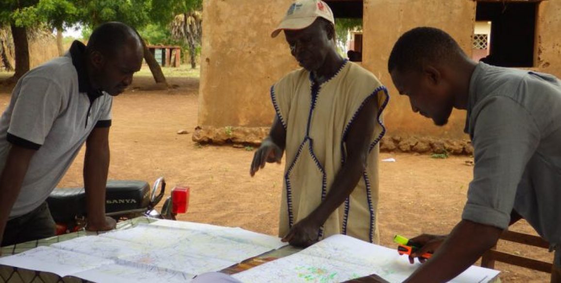
At present, Chad does not possess any up-to-date and accurate spatial data enabling the country to makes plans for land development over the coming decades, in particular for projects concerning its capital. IGN FI, in partnership with a Chadian design office, was therefore called on to implement this large-scale project that will cover data acquisition and map production as well as the task of showing the main institutional actors in Chad the value of data produced. The project is headed up by IGN FI and its partner in close collaboration with the Chadian actors associated with each phase.
Objectives and deliverables
Focus area 1: Production of a spatial data framework
- Densification of the geodetic network
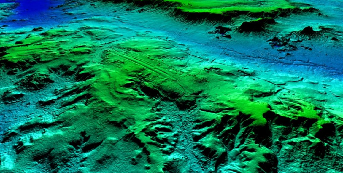
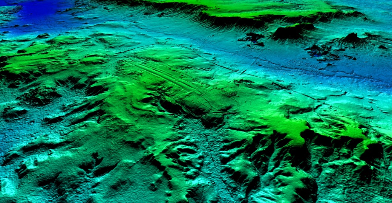
- Production of accurate altimetry data (Lidar acquisition)
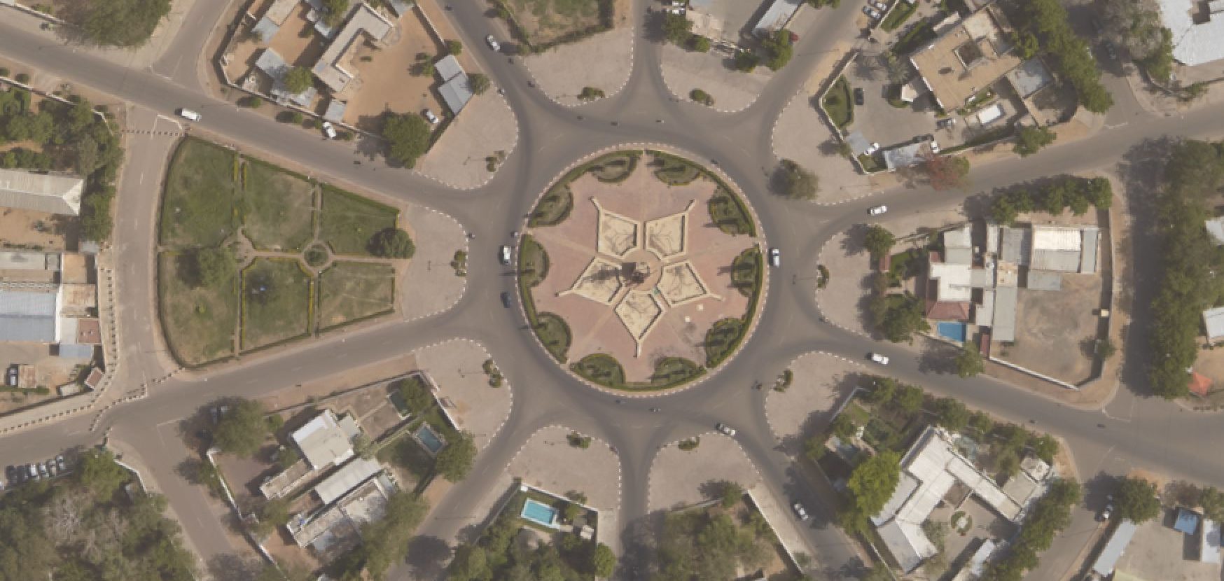
- Production of an orthoimage and DTM for the town of N’djamena and its surrounding areas
- Creation of an urban data base
- Production of maps on scales of 1:1,000 et 1:5,000
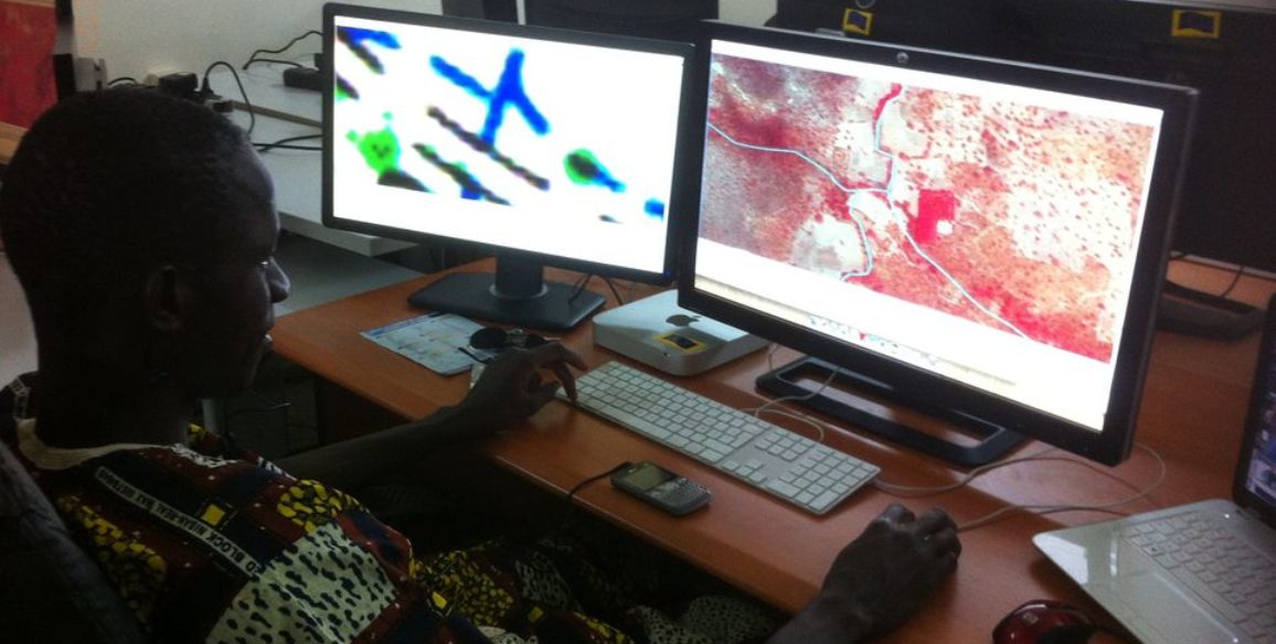
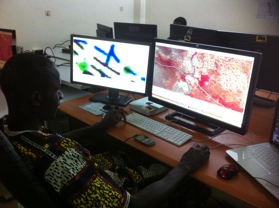
Focus 2: Development of production capacities
- Production units created for photogrammetric plotting and mapping within the Chadian Ministry of Spatial planning, development of housing and Town planning (MATDHU)
- Transfer of skills and training on software and ultra-modern equipment throughout the project
Focus 3: Development of how to use the data produced
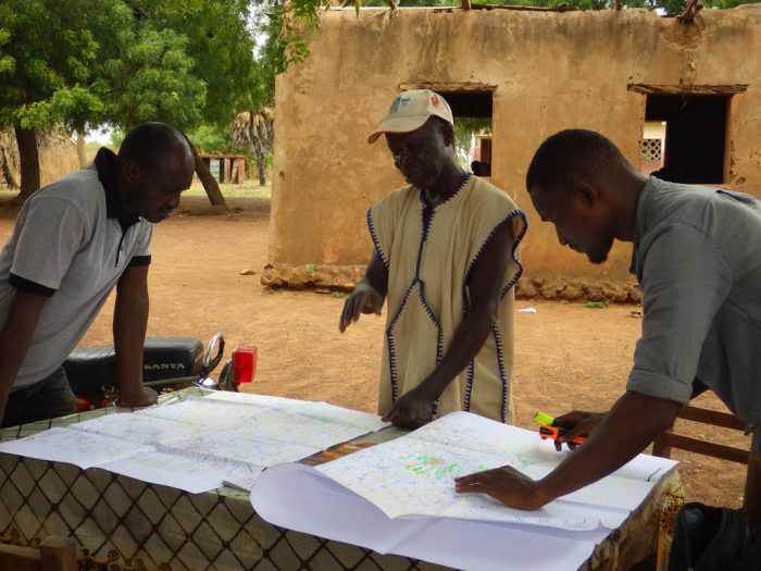
- Dissemination of data produced
- Identification of associated sectorial projects
- Creation of pilot projects
Production entirely carried out by the Chadian operators
Expected deliverables
- Equipment and means (15 photogrammetry work stations and 11 GIS stations, 1 production unit server, geodetic and topometric equipment, vehicles)
- Installation of 74 geodetic pillars and computation of a geoid model, delivery of the Circé (©IGN) software adapted to the town of N’Djamena and its surrounding areas
- Aerial photography (10cm resolution) and Lidar acquisition (density of 4 pts/m²) over an area of 900 square kilometers.
- Products derived from aerial acquisitions: digital elevation model in grid format at 50 cm intervals, DTM in grid format at 50 cm intervals, orthophotographs mosaic with a 10 cm resolution
- Mapping database (derived from 3D capture of the images acquired)
- Maps of towns at scales of 1:1,000 to 1:5,000
- Support to project recipients: analysis report for over fifteen recipients, summary of work and proposed pilot projects submitted to the Government, terms of reference drafted for the applications chosen
- 5 pilot projects carried out (chosen by the Government)
- Seminars organized at the project’s key stages and communication/awareness campaigns carried out (television, radio, print media)
Key Figures
- 900 sq. kms: covered by aerial photos at a 10 cm resolution with LiDAR cloud points (4 pts/m²) and mapped out
- 7 cm: the altimeter accuracy of data
- 74 geodetic pillars installed
- 40 Ministry employees recruited and trained
- 15 photogrammetric stations used for plotting
- 11 GIS stations for map work