Agro-ecological zoning of the territory of Guinea
The Guinean Ministry of Agriculture made a request to the French Development Agency for funding to develop agro-ecological zoning at national level, with the aim of identifying and quantifying the current agricultural zones and agricultural potential, and obtaining mapping of land cover and its evolution over a period of 10 years.
The Ministry of Agriculture wishes to be able to use this agro-ecological zoning as a decision-making tool to aid in policy, planning, optimizing agricultural resources, implementing development initiatives and monitoring/evaluation.
The Ministry for the Environment, Water and Forests will also be able to benefit from this data in the context of its international reporting obligations:
- Biodiversity in the framework of the United Nations Convention on Biological Diversity (CBD)
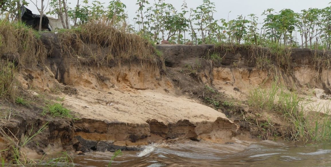
- Land degradation in the framework of the United Nations Convention to Combat Desertification (UNCCD)
- Deforestation and forest degradation in the framework of the United Nations Framework Convention on Climate Change (UNFCCC)
- Wetlands in the framework of the Ramsar Convention.
Objectives and deliverables
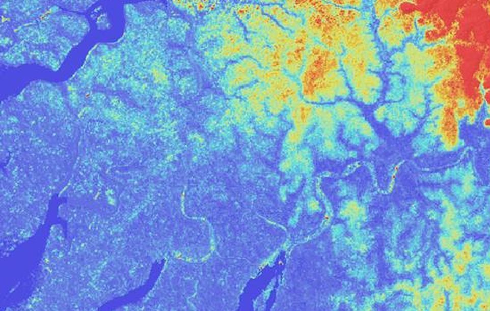
Setting up agro-ecological zoning forms part of a strategy to enable Guinean land managers to become users of a national land information system whose structural data include a land cover reference database (similar to the European CORINE program CORINE Land Cover database). This database will be built using high resolution satellite images whose revisit intervals allow regular updating, thereby ensuring the accuracy of the information at any given time. This objective, exhaustive and recent information relating to land cover will serve as the base for a large number of environmental applications as well as numerous multi-criteria analyses.
The zoning therefore aims to:
- Facilitate the establishment, decision-making and direction of development policies in the fields of agriculture, environment and livestock farming
Provide a tool which can track, assess and identify potential conflicts of land use, zones which are potentially conducive to agriculture and those which are conducive to hydro-agricultural development
Make available and share all the data and applications in the area of agriculture and the environment
Assess the evolution of land cover and set up an ecosystem accounting system
Carrying out agro-ecological zoning involves two principal components:
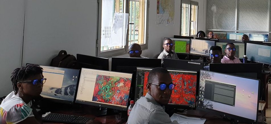
- Building a land cover database which will track changes: a technology transfer will enable the Guinean teams to work autonomously on building this database. This support will be provided throughout both phases of the project (pilot phase followed by production phase at national level).
- Developing a number of applications from this database on subjects (agricultural or other) to be decided upon with the Guinean teams in order to demonstrate the effectiveness of the tool in land governance and managing natural resources, thereby encouraging the ministries concerned to develop other applications according to the specific issues with which they are confronted.
Key figures
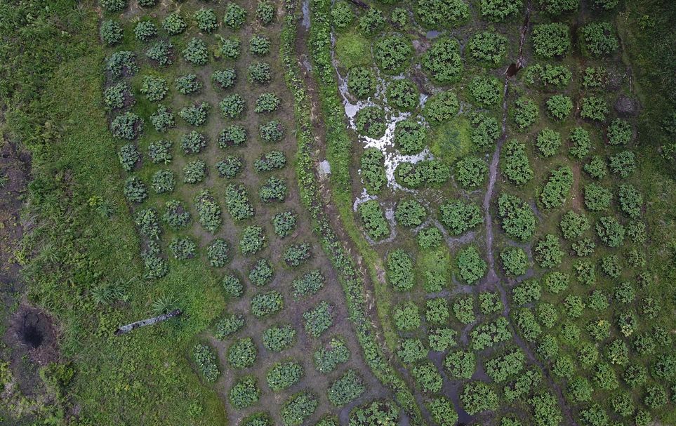
- Land cover mapping for 2015 covering 245,000km² (entire country)
- Tracking evolution over 10 years
- Involvement of 12 international experts
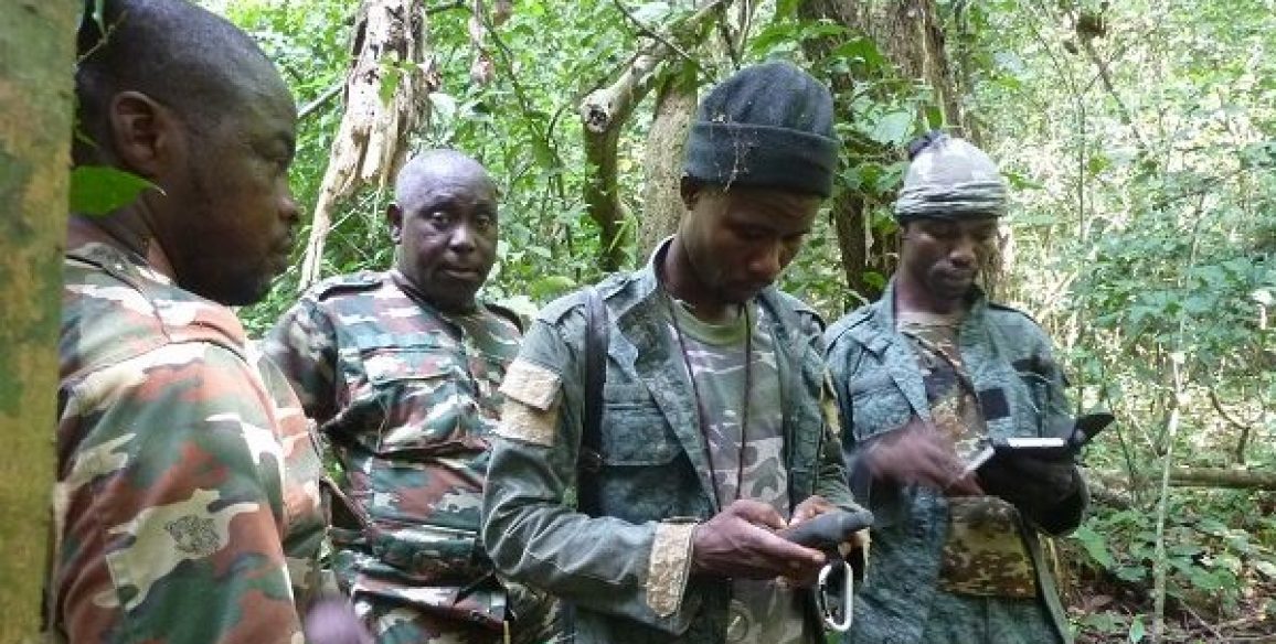
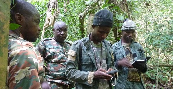
- Team of 10 Guinean photo-interpreters
- Setting up of 4 thematic applications during pilot phase
- 5 sector ministries involved
Watch the film to gain a better understanding of the issues and challenges facing the project, the link: https://youtu.be/wZ7LheDtE8A
