
Land use, land cover and land suitability spatial analysis to support integrated landscape management in the implementation of land reform (Tora) and social forestry, INDONESIA
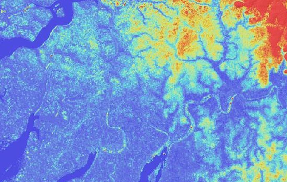
The project “Land Use, Land Cover and Land Suitability Spatial Analysis to Support Integrated Landscape Management in the Implementation of Tora and Social Forestry” is financed by the World Bank and run by IGN FI in a consortium with Australian and Indonesian partners. It comprises the implementation of a tool to assist and guide policy makers with regard to land development within the framework of the TORA land reform programme. Specifically, it provides technical expertise to analyse land use and land cover in one province of Indonesia (Jambi province) using SPOT and Sentinel 2 satellite imaging.
Objectives and deliverables
The first stage of the process to gain an understanding of land suitability, that is to say the balance between land cover and the various land use objectives specified by the Ministries involved (Forestry & Agrarian and Spatial Planning).
The second phase consists in the definition of areas where land cover can be re-distributed to local communities in the framework of the land reform programme, while taking account environmental issues such as ecological fragmentation, conservation of peatlands and other protected areas.
Key Figures
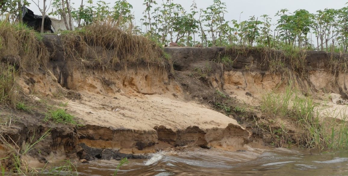
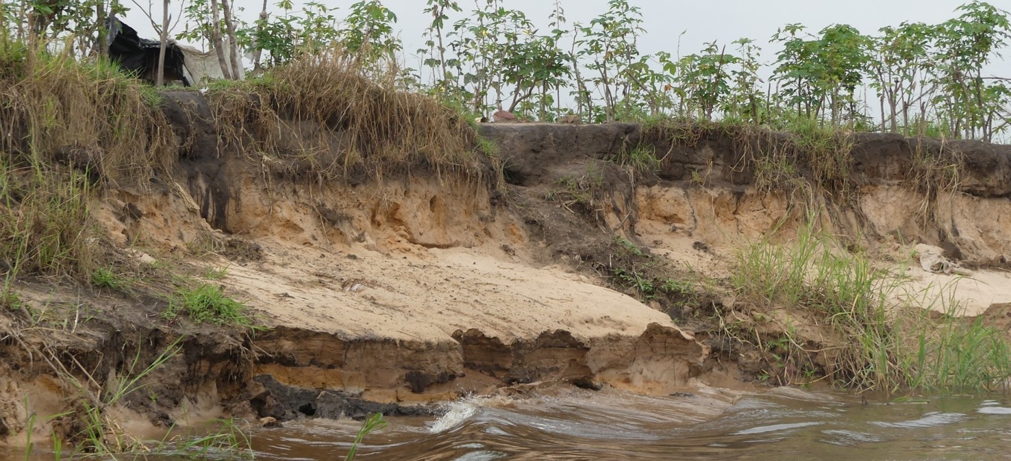
- Over 70% deforestation in 30 years
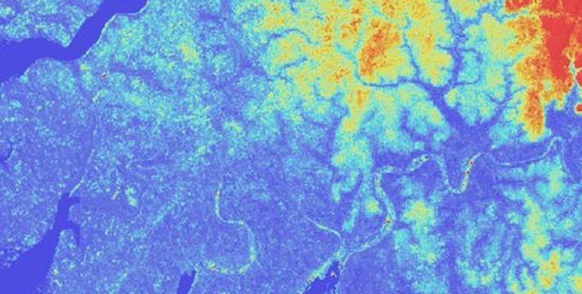
- Over 17,000 km² mapped