Assess hazards, vulnerabilities and risks in the member States of the Economic Community of Central African States (ECCAS)
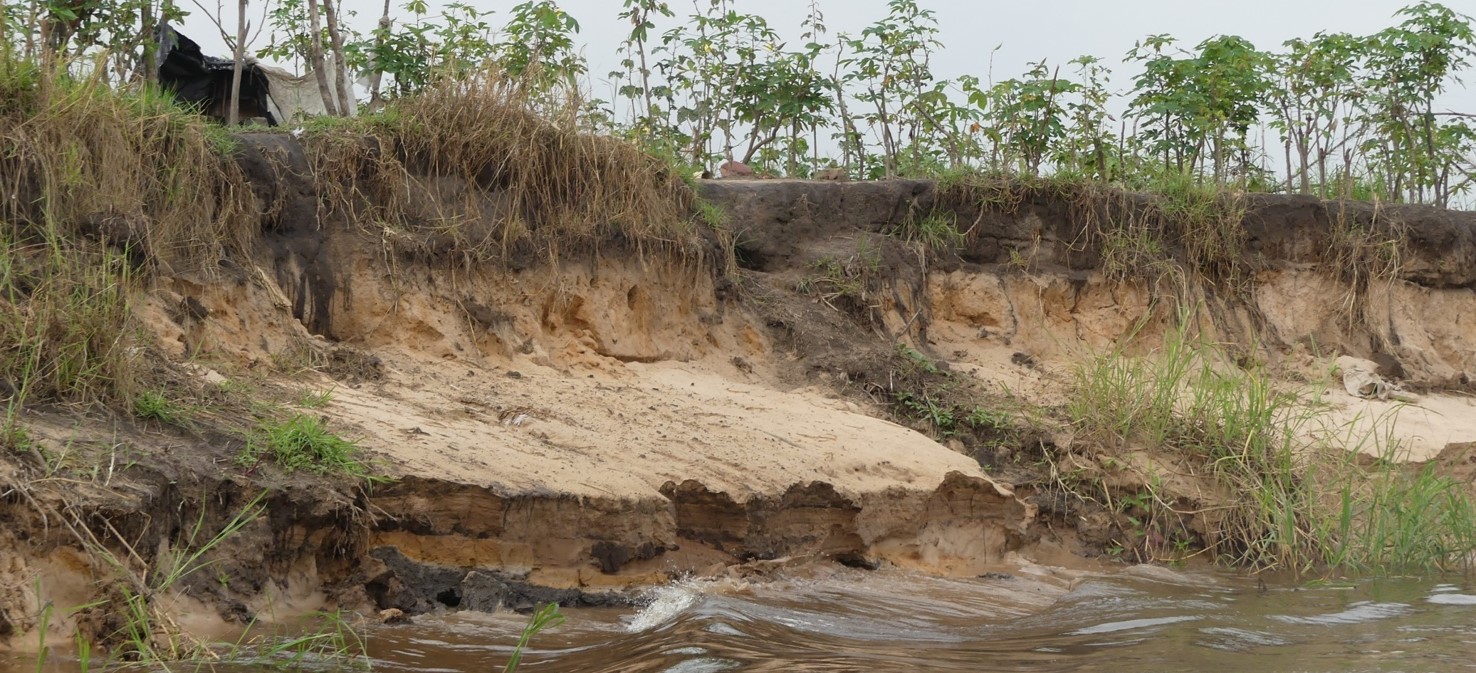
The effects of population pressure, unplanned urbanization, loss of biodiversity, land and ecosystem degradation, climate change and complex trends of economic globalization may partly explain the increase and intensity of disasters worldwide. In Africa, various forms of vulnerability are likely to convert minor risk events into major disasters. Since 1970, sub-Saharan Africa has experienced more than 2,000 disasters, almost half of them in the last decade. The most common disasters in sub-Saharan Africa are floods and droughts; however, other hazards such as cyclones, earthquakes, landslides, volcanoes, coastal erosion and epidemics also have serious consequences for sustainable water resources management, health, food security, agricultural productivity, livelihoods and infrastructure.
These events disrupt the normal functioning of communities, states, economies and development efforts in general, seriously jeopardizing their chances of achieving sustainable development goals. Global and regional trends are further exacerbating the development problems faced in sub-Saharan Africa. Climate change and rapid and unplanned urbanization add further complexity and uncertainty. Persistent conflict and environmental degradation increase the vulnerability of hundreds of millions of people across the continent. In addition, inadequate infrastructure, insufficient information and weak institutions further complicate effective risk management.
Within this context, The IGN FI/ BRLi consortium has been awarded the regional contract to assess hazards, vulnerabilities and risks in the Member States of the Economic Community of Central African States (ECCAS), the international organization promoting the economic, social and cultural development of the following States: Angola, Burundi, Cameroon, Central African Republic, Republic of Congo, Democratic Republic of Congo, Gabon, Equatorial Guinea, Chad, Sao Tome and Principe, and Rwanda.
Objectives and deliverables
The overall objective of the project was to contribute to gaining a better understanding of the hazards, vulnerabilities and risks in Central Africa, to highlight areas where there are serious hydro-meteorological risks and to facilitate decision-making with regard to protective measures for populations and community assets.
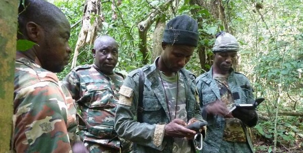
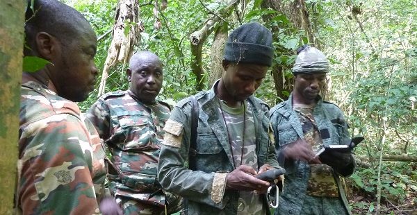
Funded by the World Bank, the project called on experts in GIS/ mapping and hydrologists, climatologists, geologists and environmental experts.
The specific objectives of the project were as follows:
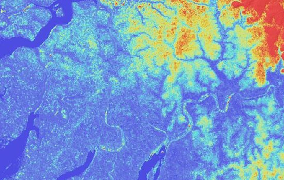
- Identifying and mapping hazards and serious risks covering the regional scope at the national level, relevant at least up to administrative level 2 in the ECCAS region
- Providing an opportunity to enhance the capacities of stakeholders in Central Africa in the fields of hazard recognition, assessment of vulnerabilities and risk analysis, including by the use of relevant data and information
The main deliverables at the end of the project were:
- Data integration report, compiling all collected data sources
- A documented digital database, including all data collected, processed and produced in the framework of the project, and delivered in the form of customised USB sticks
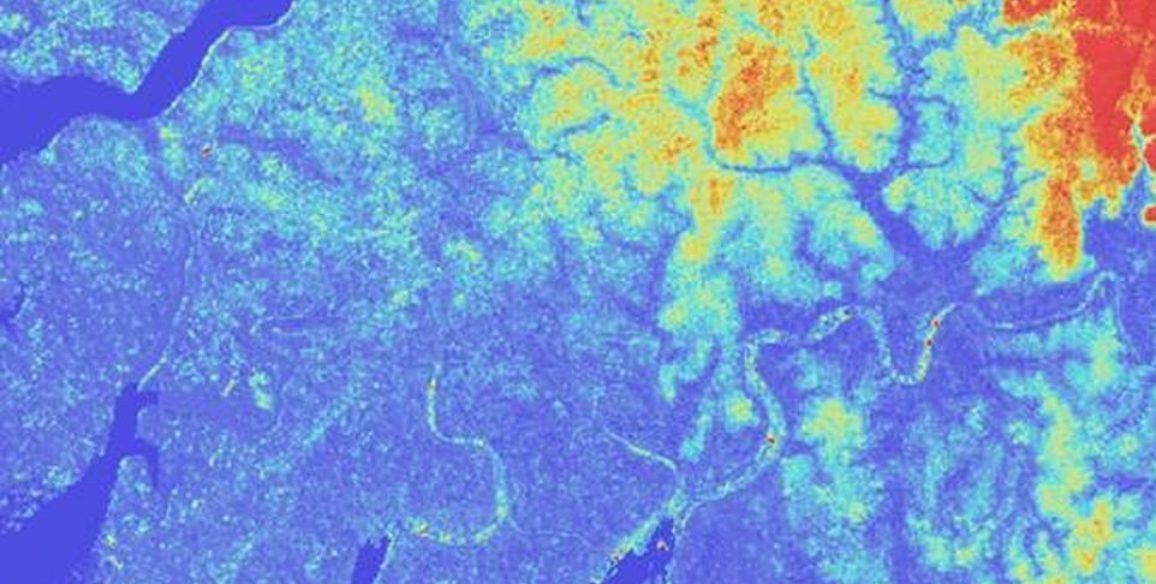
- Regional risk atlas, including 45 maps locating risk and vulnerability areas throughout ECCAS, plus focuses on areas facing specific risks and on 20 urban areas
- Interactive version of the atlas
- Regional validation workshop and training for 40 ECCAS experts
- Final report including recommendations
- Press release translated into the 4 ECCAS languages and disseminated in the press of the 11 member states
Key figures
- 19 months
- 11 countries covered
- 8 international experts mobilized
- 40 people trained
