UPDATING AND IMPLEMENTING OF GEODETIC REFERENCE FRAME FOR LAND ADMINISTRATION, UGANDA
The Republic of Uganda received financing from the World Bank toward the cost of the Competitiveness and Enterprise Development Project (CEDP), and intended to apply part of the proceeds under the contract “Updating and Implementing of Geodetic Reference Frame Land Administration in Uganda”.
Objectives and deliverables
The main objective of the project is to establish a modern, reliable and accurate geodetic reference frame for the entire country to support the land administration, physical planning, land development and construction industry, environment protection and other spatial data activities in different sectors of economy.
The project is composed of 5 steps/components:
- Uganda geodetic reference frame (UGRF) network design and continuous operation reference stations (CORS) reconnaissance
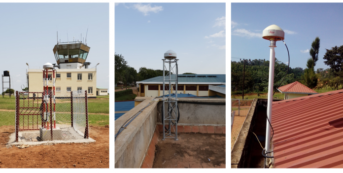
- CORS network establishment
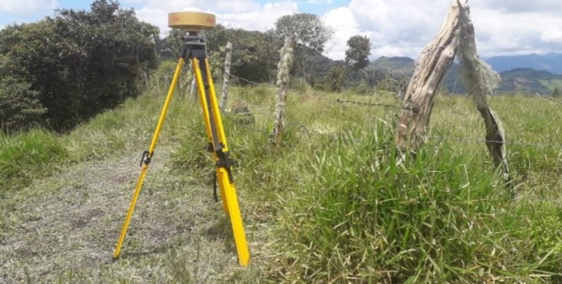
- Geodetic network reconnaissance and monumentation
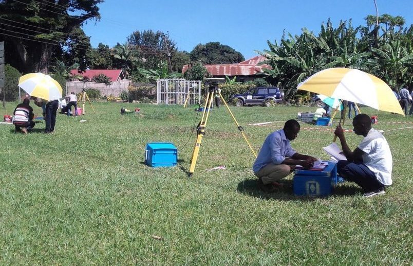
- Geodetic network observations, computation and adjustment
- CORS operational maintenance
Key Figures
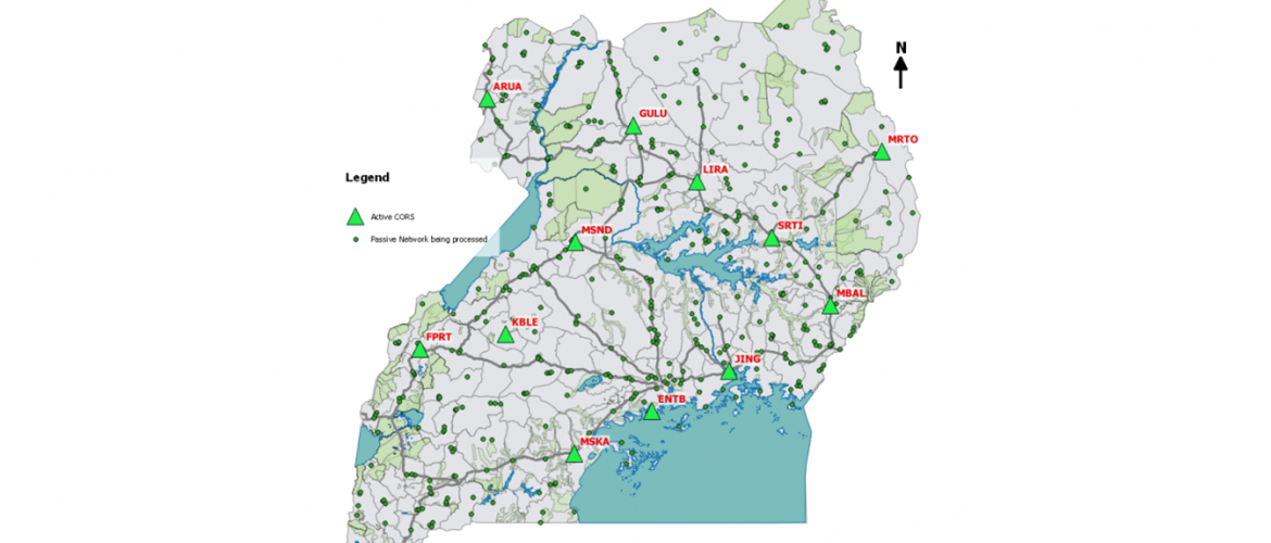
- 12 CORS stations installed
- 426 points established and observed

