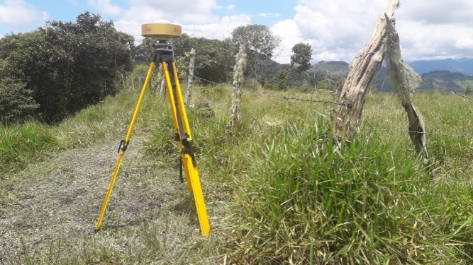
Installation of 13 new permanent stations for the national geodetic network, COLOMBIA
Colombia has received finance from the World Bank for the project to implement a Multi-Purpose Land Registry for the country. An essential part of the project is to set up and operate permanent reference stations (CORS) and to reinforce the Republic of Colombia’s geodetic network center in accordance with the technical specifications set by the Instituto Geográfico Agustín Codazzi – IGAC.
Objectives and deliverables
The primary aim of the project is to bolster the country’s geodetic reference network by installing 13 permanent stations in order to provide support for the land administration system, land development and construction, environmental protection and other activities that involve spatial data in a variety of economic sectors.
The project is organized into 5 components:
- Surveying suitable sites
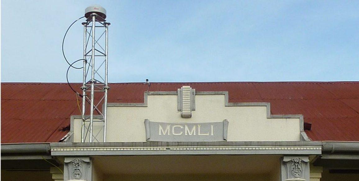
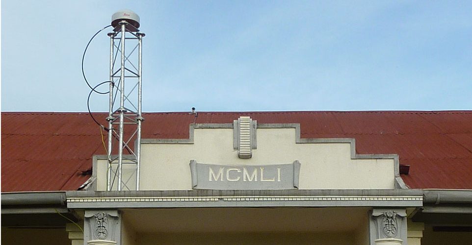
- Installing the permanent stations (CORS)
- Setting up a control center and incorporating the existing stations
- Observations, calculations and adjustments for the geodetic network
- Providing online services (real time corrections, online calculations, PPP calculations, geodetic database)
- Operational maintenance
By the end of the project 13 new CORS stations will have been installed and a control center will be in operation, incorporating the already existing stations and communicating corrections continuously in real time (RTK and NRTK).
Key figures
- 7 geodesy, telecommunications and IT systems experts working on the project
- 13 stations installed (surveys, installation, commissioning)
- 1 control center installed and operational
