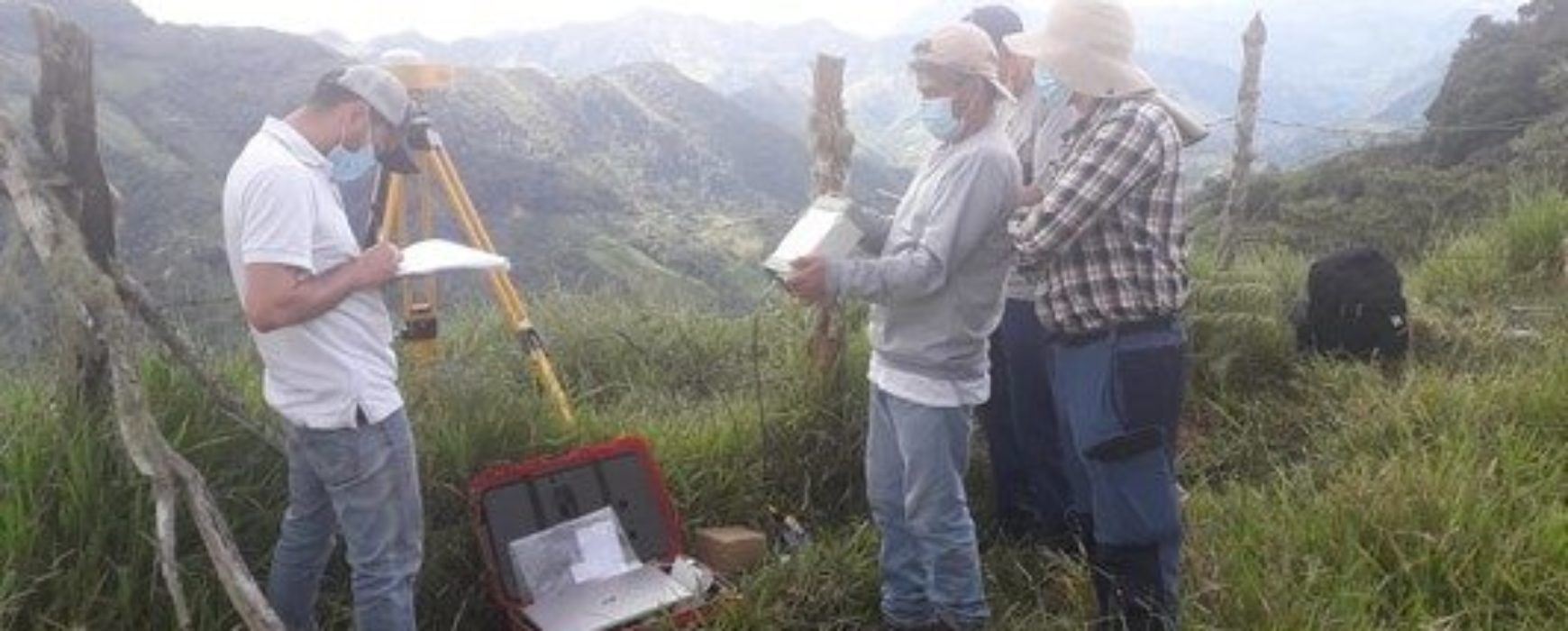
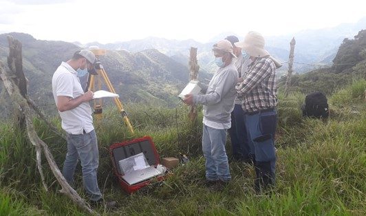
Colombia has funding from the World Bank for the project to implement a Multi-Purpose Land Registry for the country. An essential part of the project consists in the setting up and operating permanent reference stations (CORS) and reinforcing the Republic of Colombia’s geodetic network control centre, in line with the technical specifications set by the Instituto Geográfico Agustín Codazzi – IGAC (Agustín Codazzi Geographic Institute).
The main aim of the project is to strengthen the country’s geodetic reference network by installing 13 permanent stations, which will support the land administration system, land development and construction, environmental protection and other activities in a variety of economic sectors.
The project is organised into 5 components:
- Identifying the suitable sites
- Installing the permanent stations (CORS)
- Setting up a control centre and incorporating the existing stations
- Observating, calculating and adjusting the geodetic network
- Providing online services (real time corrections, online calculations, PPP calculations, geodetic database)
- Maintening the maintenance
By the end of the project, 13 new CORS stations will have been installed and a control centre will be in operation, incorporating the already existing stations and communicating corrections continuously in real time (RTK and NRTK).
The project began in May 2021 and is scheduled for completion in June 2022.
Number and profiles of the experts involved
The project is being undertaken in collaboration with Leica Gesosystems and 4 Conceptos, and involves 7 experts in geodesy, telecommunications and IT systems.