
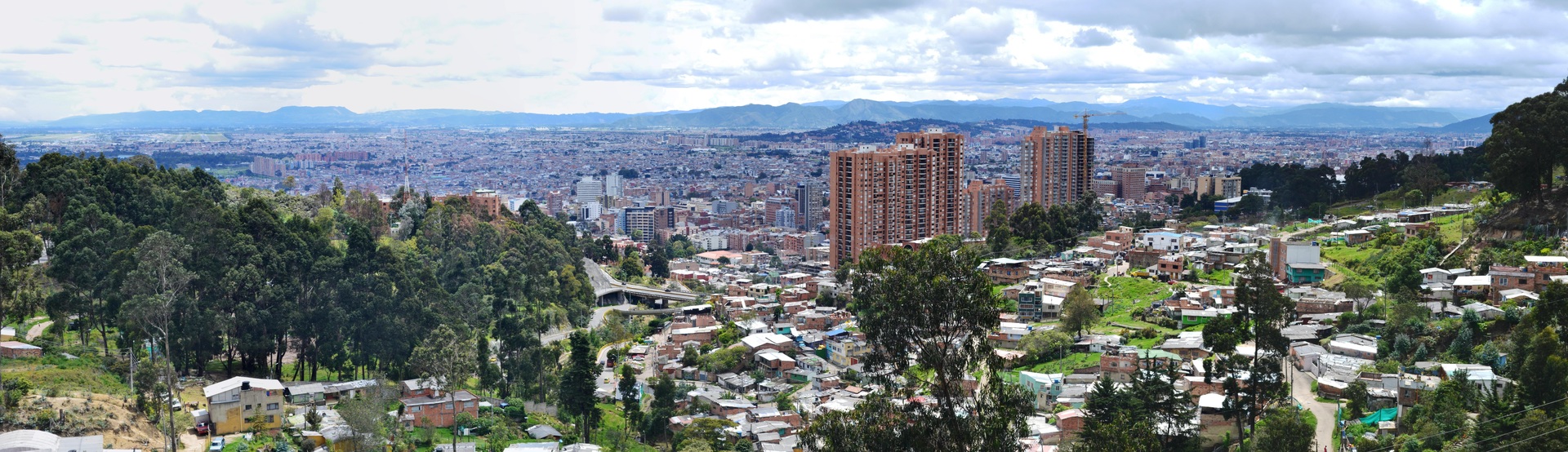
The Colombian economy has been experiencing a period of sustained growth ever since the conclusion of the peace agreements and the implementation of a national development plan. However, major regional imbalances remain, particularly in the rural areas which are sometimes inaccessible, often marked by 50 years of conflict, and where the lack of infrastructure and absence of governmental representation are a recurrent problem. In addition, large parts of the country are vulnerable to climate change, and lack resilience tools and policies to help mitigate the effects of extreme climate events.
Given this context, in 2016 the Colombian government decided to facilitate a national multi-purpose land registry that would serve a combination of legal, fiscal, environmental, cartographic and territorial purposes as part of a broader approach than just collecting property taxes. The land registry aims to assemble an exhaustive, reliable and up to date information in order to:
- Set up a quality public service, underpinned by simplified and improved administrative procedures, that will guarantee security of ownership and access to information;
- Make decisions and support implementation of the country’s development policies, particularly in the fields of spatial planning and land management, land planning, restitution and formalisation of properties, sustainable development and adaptation to global warming.
One of the main functions of the National Land Agency (ANT) is to coordinate operations for the large-scale formalisation of land rights using a land information system.
Based on its experience in this field IGN FI is providing support to the ANT to set up an analysis of its existing system and put forward proposals for improvements that will lead to additional functionalities being developed, and to a better structuring of the data in accordance with LADM-COL standards and the INTERLIS system.
The main aim of the project is thus to carry out a functional and technical audit of the land information system set up by the ANT, and then to put forward, provide specifications for and develop additional modules to improve the way it functions. The project is made up of 5 phases:
- Analysing the current system
- Making recommendations
- Drawing up technical and functional specifications
- Developing two complementary modules relating to information-gathering in the field
- Structuring the database based on the LADM-COL model and developing an INTERLIS module that will improve inter-operability of the systems
- User training and maintenance
Started in October 2021, the project is scheduled for completion in 2023.