The improvement of the Land Administration System in Uganda is among the priorities of the Land Sector Strategic Plan (LSSP) of Uganda. This improvement also relies on the establishment and densification of the geodetic network. The absence of a reliable geodetic network undermines the accuracy and reliability of cadastral surveys, which can have serious negative consequences for the land administration sector as a whole.
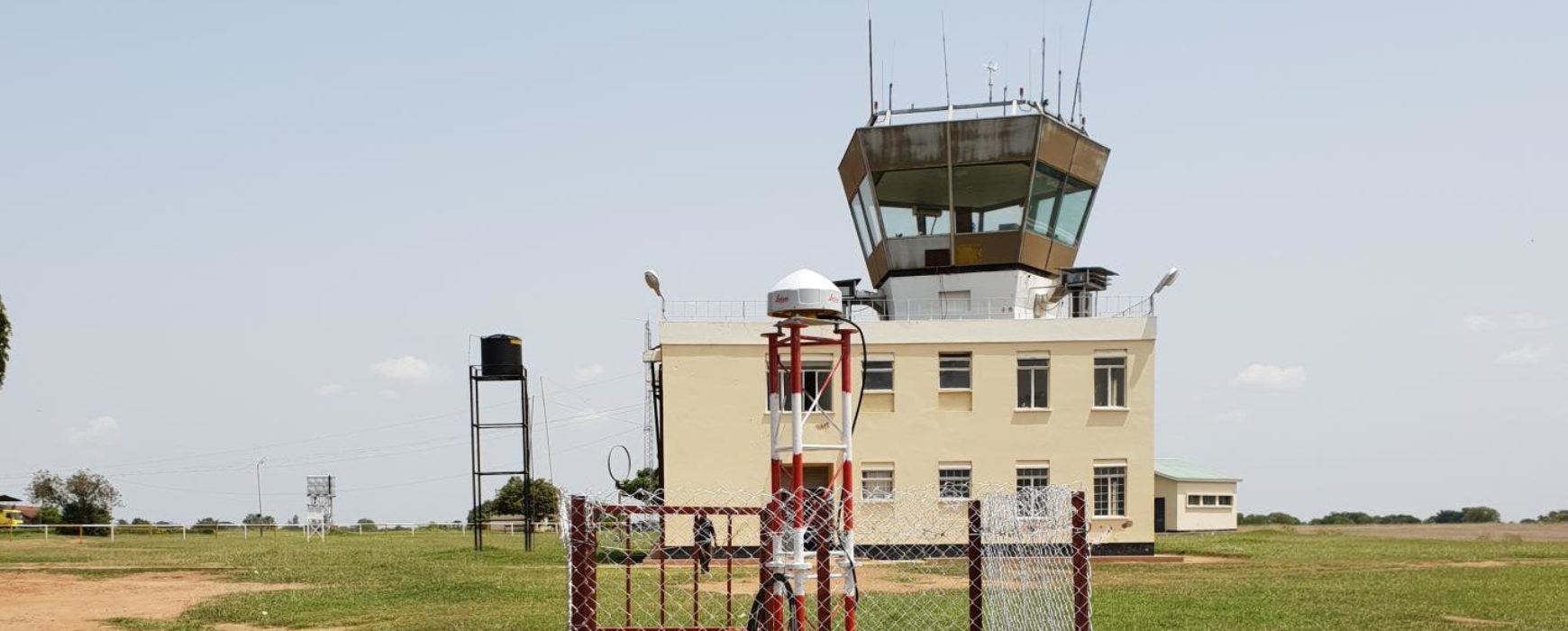
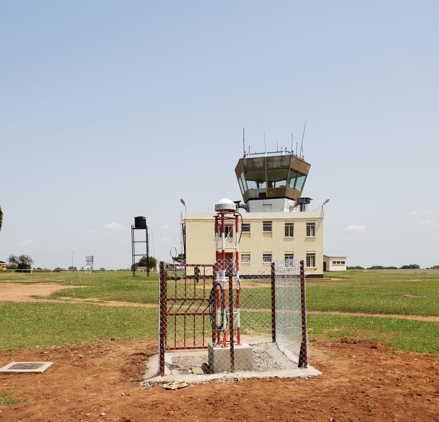
Under the Competitiveness and Enterprise Development Project (CEDP) Land Component, Uganda Geodet-ic Reference Frame (UGRF) Project Phase 1 was implemented from 2017. It involved establishment of 426 passive geodetic network points and 12 CORS stations, covering most economically active areas of the country.
The continued improvement of the Uganda Geodetic Network (UGRF) has been decided by the government, and includes the densification and extension of the coverage of the CORS station network for the whole country. The network will continue to serve as a reference not only for land administration, but also for planning, development, construction and other activities.
The Ministry of Lands, Housing and Urban Development of Uganda, MLHUD, is the Project Implementation Agency.
IGN FI, which was selected and successfully carried out the 1st phase, has just been awarded this new phase under a contract financed by the World Bank.