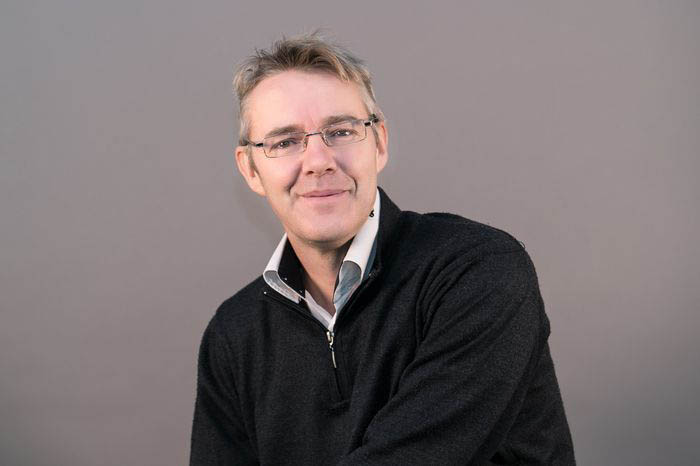
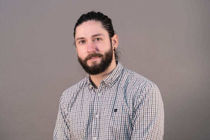
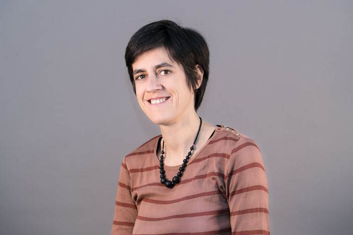
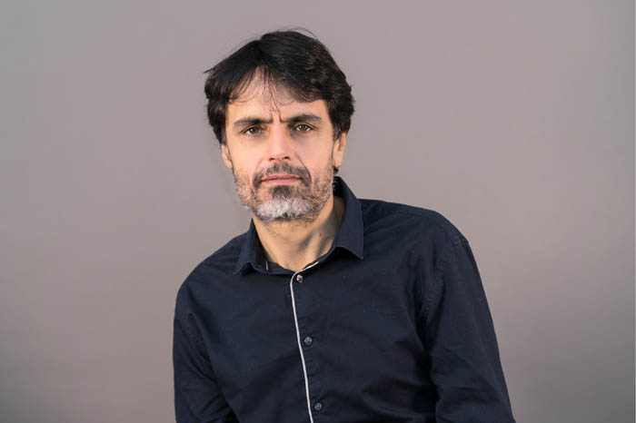
Vincent BOUSQUET

Vincent BOUSQUET

Project manager, Photogrammetry, Spatial imagery & LiDAR expert
  • Graduated from the National School of Geographic Sciences (ENSG), specialized in photogrammetry at the Lausanne Federal Polytechnic School (EPFL)
  • Vincent worked 8 years at IGN in photogrammetric and cadastral products teams, then as consultant at IGN Consulting team for 12 years
  • He joined IGN FI in 2018 as photogrammetry, LiDAR and space imagery expert
  • Didier BOUTELOUP

    Didier BOUTELOUP

    Project manager, Geodesy, GIS & DB expert
  • Graduated with an Engineering diploma in State geographical and mapping work
  • Didier has taken part in various projects around the world and more particularly in the field of geodesy. He previously worked for IGN Conseil as an expert on a number of GIS and database projects and also spent 7 years teaching at the ENSG (National School of Geographic Sciences) for the Global and Spatial positioning department
  • Grégoire CÉZARD

    Grégoire CÉZARD

    TI support
  • Graduated from the 3IL School in Limoges with an Engineer’s diploma then continued his studies to obtain a Master’s degree in IT
  • Grégoire worked for a year as IT manager for the Dominican Republic
  • He joined IGN FI in 2004 as systems and networks administrator
  • Mathilde DUMONT

    Mathilde DUMONT

    Photogrammetry & Spatial imagery expert
  • Graduated from the National School of Geographic Sciences (ENSG) with a degree in Geomatics and the Environment
  • Mathilde worked as a geospatial analyst for the French Ministry of Defense for 8 years
  • She joined IGN FI in 2016 and now works as an Expert in aerial and spatial imagery
  • Yvan GAUTHIER

    Yvan GAUTHIER

    Project manager, GIS & DB expert
  • Graduated from the National School of Geographic Sciences (ENSG) with a degree in Engineering and also has a Master’s degree in Geomatics
  • Yvan worked at IGN for 9 years, first in the department managing the production and update of vector databases, then in the consultancy department at IGN
  • He joined IGN FI in 2014 and works as a project manager on GIS and data base projects
  • Gabriel JAFFRAIN

    Gabriel JAFFRAIN

    Project manager, Land cover/use, Remote sensing & Environment expert
  • Graduated with a degree in Advanced studies in Geography, the Environment and the Spatial studies using remote sensing. He also has a diploma in Ecology from the University of Rennes
  • Gabriel is a well-known european expert in the fields of  Environment,  Land cover and  landscape dynamics. He is in charge of quality assurance for a number of topic mapping projects in Europe and worldwide. He is actively involved on ecosystem accounting initiatives
  • He joined IGN FI in 1995 as an expert in land cover/use and works as a project manager
  • Adrien MOIRET

    Adrien MOIRET

    GIS, Remote sensing & Environment expert
  • Graduated with a degree in Matter sciences and a Master’s degree in Geo-risks and environmental information
  • Adrien has participated in several projects that have enabled him to reinforce his experience in the field of geomatics, working on follow-up and management of the environment
  • He joined IGN FI in 2015 as an expert in GIS and remote sensing. He also works as a trainer in geomatics for various projects
  • Camille PINET

    Camille PINET

    Project manager
  • Graduated from the National School of Agronomics in Rennes
  • Camille has been coordinating international projects for the last 18 years coordinating multi-skilled teams and international consortiums
  • She joined IGN FI in 1998 as an expert in GIS and the environment then went on to work as a project manager. She has been coordinating works management since 2011 as well as following up Contractor work for a huge skills transfer and support project to follow up land use dynamics using satellite images in Central and Western Africa
  • Alain RIVAS

    Alain RIVAS

    Cartography & Image processing expert
  • Graduated from the National School of Geographic Sciences (ENSG) with a Diploma specializing in mapping
  • Alain spent 26 years at ‘IGN Espace’ working on processing and interpreting satellite images as well as the production of mapping data
  • He joined IGN FI in 2016 as a technical expert in mapping & image processing
  • Cyril Romieu

    Cyril Romieu

    Project manager, Geodesy expert
  • Graduated from the National School of Geographic Sciences (ENSG) and has a Post-graduate diploma (DEA) in astronomy, celestial mechanics and geodesy
  • Cyril has worked on carious geodesy projects around the world, mainly for the Special projects departments at IGN and IGN FI. Cyril also taught at the ENSG for three years. He was a project manager for the Mapping and border demarcation project’ for the border between Saudi Arabia and the Kingdom of Qatar
  • He has been project manager for the national mapping programme in Benin since 2015
  • Irina SIBISTIANU

    Irina SIBISTIANU

    Production manager, GIS expert
  • Graduated from the Foreign Languages and Literature faculty of the University of Bucharest
  • Irina worked as production coordinator and project manager at the Romanian branch of IGN FI for 8 years
  • She joined IGN FI in 2009 and works on the follow-up and quality control of data before turnover to clients and as a GIS expert. She is part of the team working to implement the National land administration information system project in Uganda
  • Patrick STIMPSON

    Patrick STIMPSON

    Project manager, Cartography expert
  • Graduated with an Engineering diploma in State geographical and mapping work, specializing in geographic information systems
  • Patrick worked for 25 years at IGN as an expert in digital mapping, digital processes, database management and quality control
  • He joined IGN FI in 2007 and currently works as a deputy project manager in Uganda on the project to implement the National land administration information system