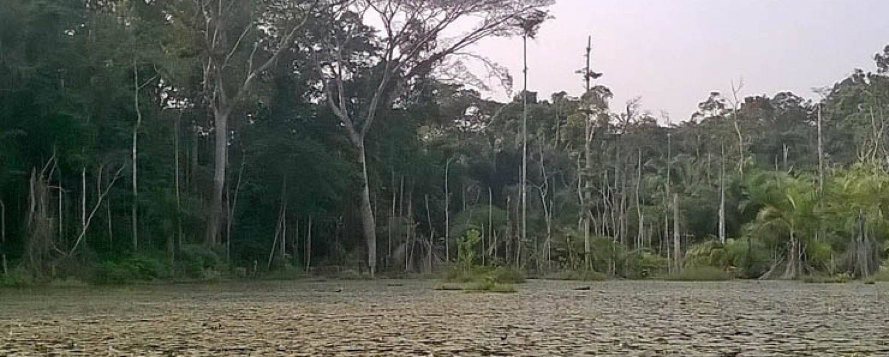
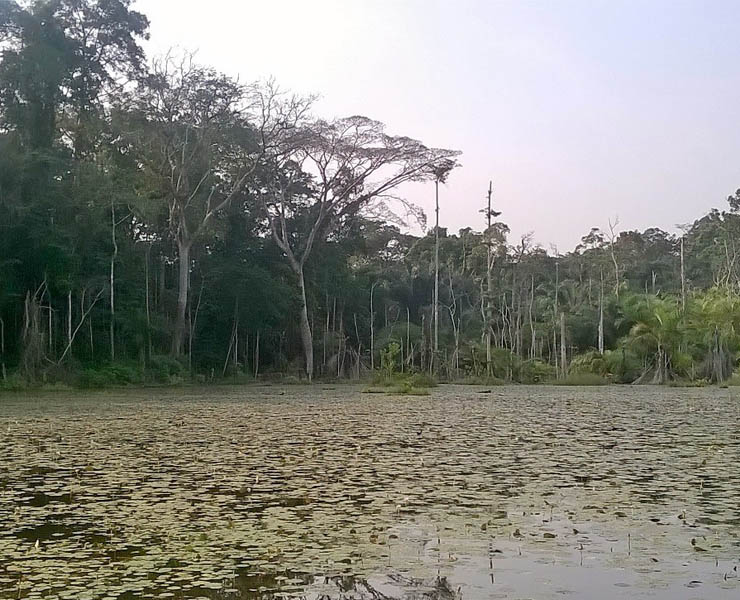
The consortium headed up by IGN FI was awarded Lot 2 of the Global Land High Resolution Hot Spot Monitoring European project. The objective of this project, related to changes in land cover around Africa, was to create and implement high resolution surveillance of specific areas of environmental interest that had been identified during the “Global Land” section of the Copernicus program.
Within the specific framework of Lot 2, the work was to provide an independent validation of the land cover data to be produced as part of Lot 2 for areas located worldwide (8 specific areas covering 15 African countries). This work was carried out using Sentinel and Landsat images.
The project territories chosen corresponded to protected areas or those of interest with regard to their biodiversity and soil degradation. Information on land occupation and its evolution over time will also be provided. These data sets will be used as additional information to the bio-geophysical parameters for work on the ‘Global Land component’. This project spans over a four-year period and will come to an end in 2020.