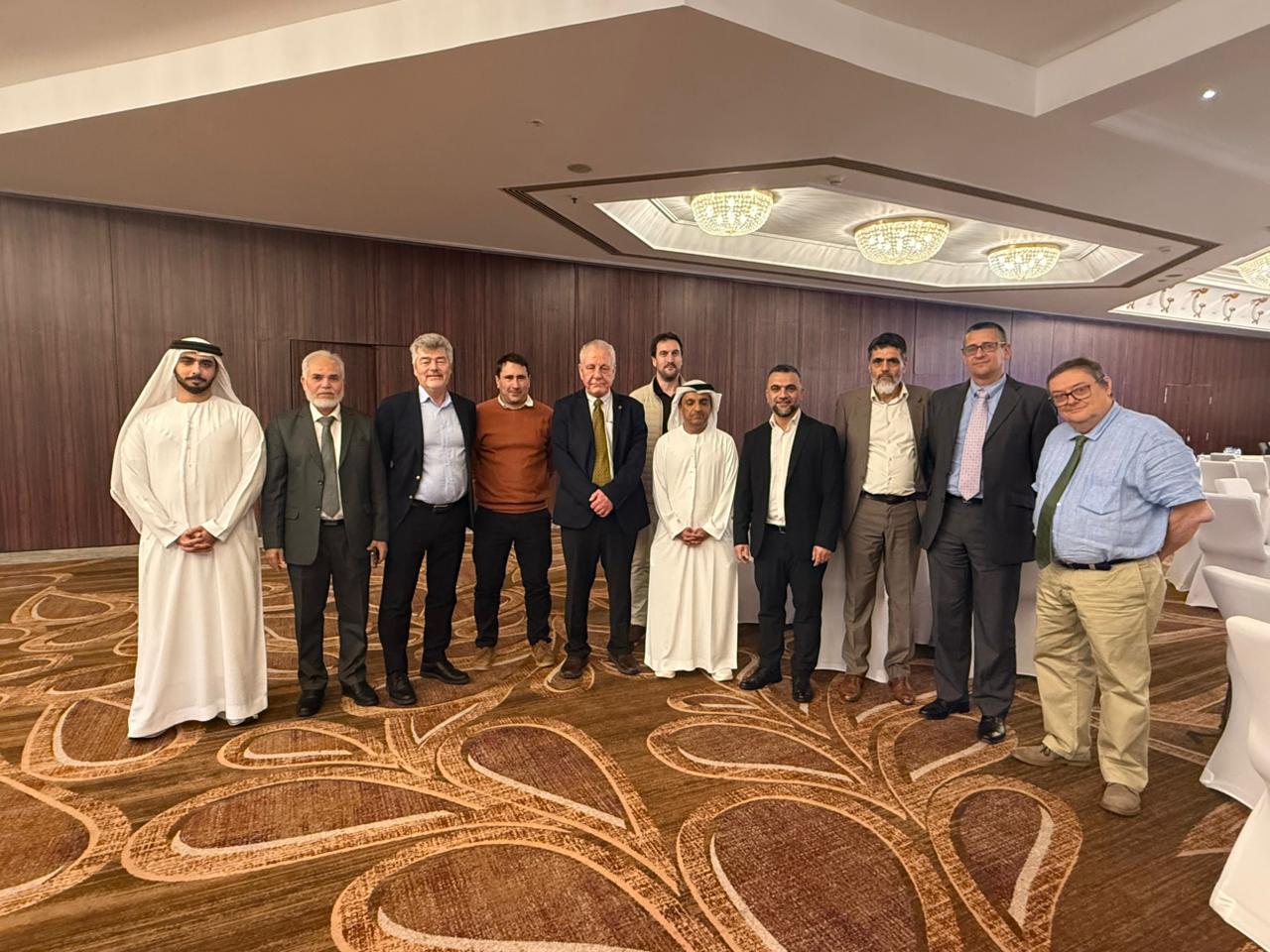
Closing workshop for the first phase of the UAE National Geodetic Reference Frame project
Closing workshop for the first phase of the UAE National Geodetic Reference Frame project
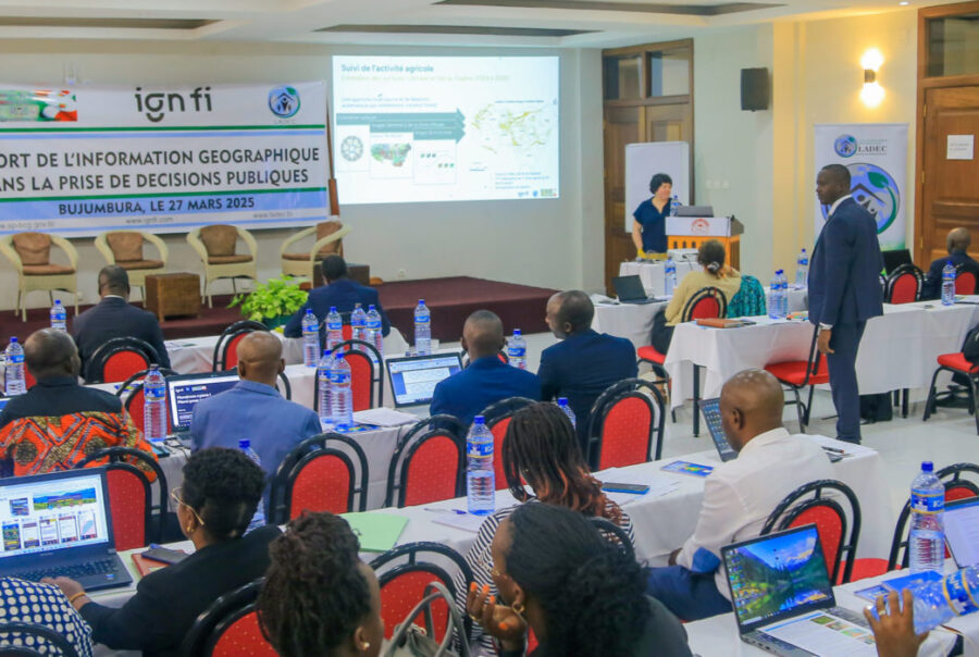
Geographic information, an indispensable tool for public decision-making
Geographic information, an indispensable tool for public decision-making

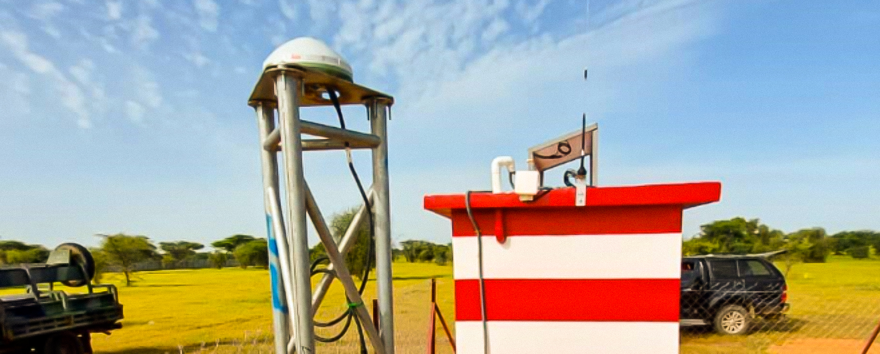
National Geodetic Reference Network of the United Arab Emirates
National Geodetic Reference Network of the United Arab Emirates
Implementation of the Geodetic Reference Network in Senegal – PROCASEF
Implementation of the Geodetic Reference Network in Senegal – PROCASEF
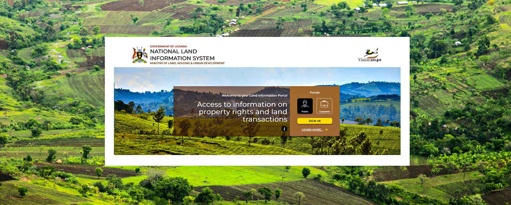
Launch of Uganda’s Land Information System Portal – UgNLIS
Launch of Uganda’s Land Information System Portal – UgNLIS

Launch of the Saudi Arabia-Jordan Border Project – SAJOB
Launch of the Saudi Arabia-Jordan Border Project – SAJOB
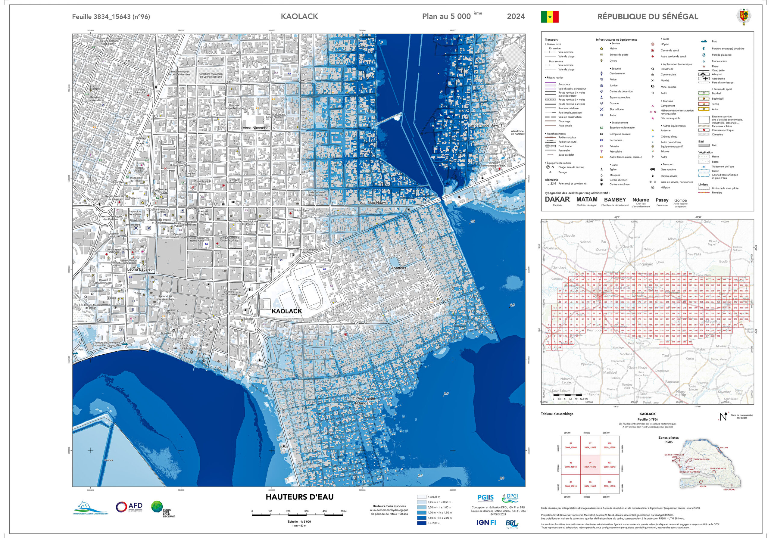
Presentation of the Results of Flood Zone Mapping in Senegal – PGIIS
Presentation of the Results of Flood Zone Mapping in Senegal – PGIIS
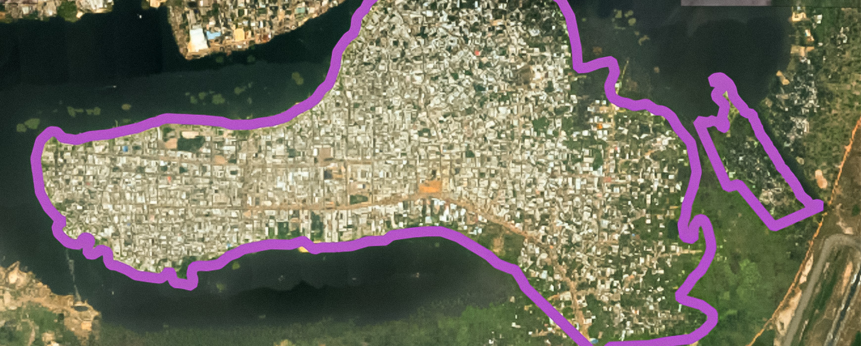
Study on the Profiling of Informal Settlements in Abidjan – PARU
Study on the Profiling of Informal Settlements in Abidjan – PARU

Launch of a cadastral survey and land tenure security project in Peru
Launch of a cadastral survey and land tenure security project in Peru
IGN FI at the heart of the “Copernicus Global Land Cover and Tropical Forest Mapping and Monitoring” – LCFM
IGN FI at the heart of the “Copernicus Global Land Cover and Tropical Forest Mapping and Monitoring” – LCFM
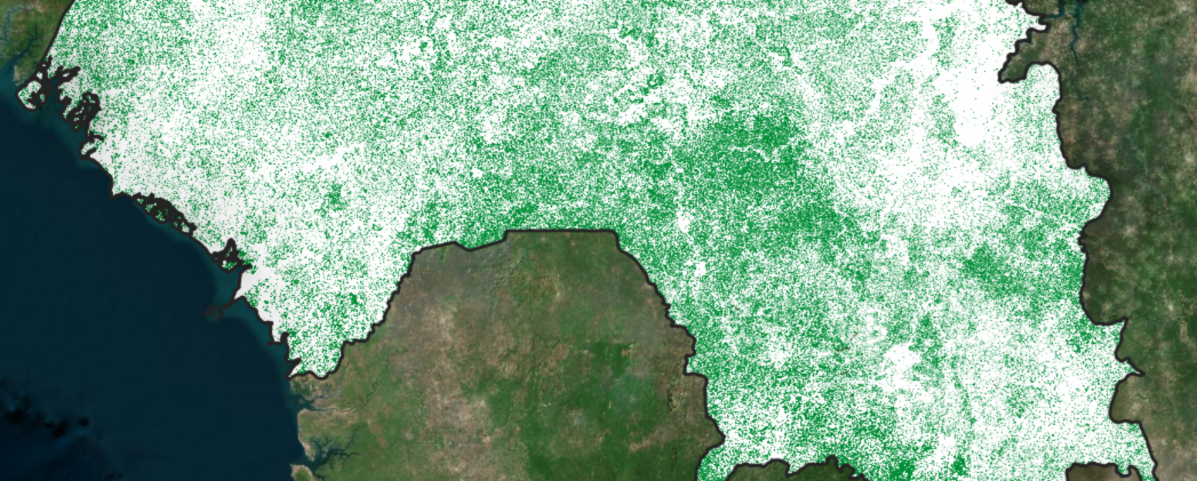
National Forest and Land Use Monitoring System in Guinea – SNSF