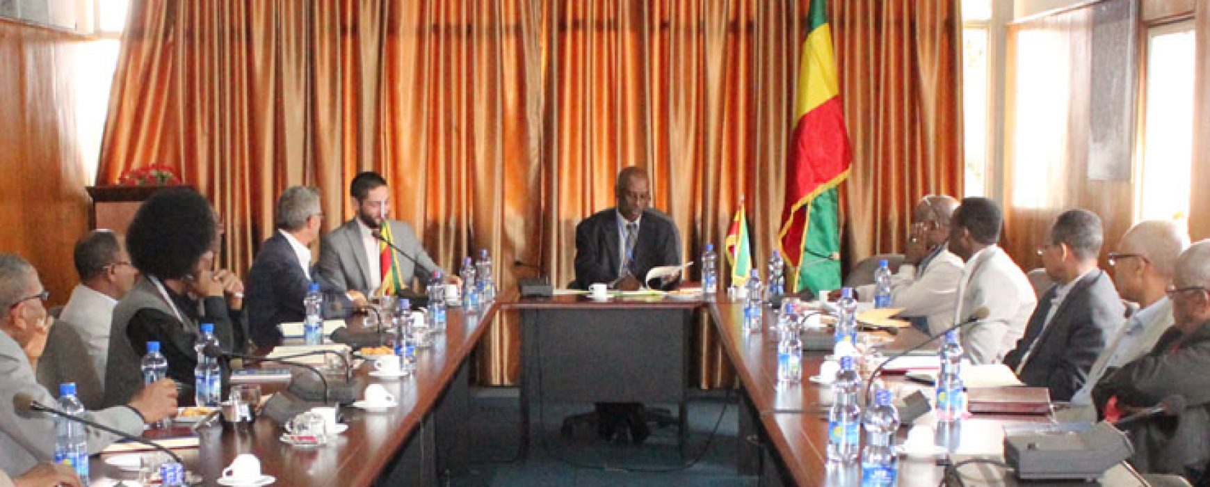
Wednesday 11 October, CNES, IGN FI and the Ethiopian Mapping Agency (EMA) signed a cooperation agreement in Addis Ababa to provide EMA with updates for the land cover layer of its 1:50,000 topographic maps. Under the agreement, CNES will supply cloud-free Sentinel-2 images corrected for atmospheric effects, while IGN FI will be responsible for training operators to use Sentinel-2 data and will support EMA for thematic checking of the land cover layer.
Many countries around the globe do not have up to date nationwide 1:50,000 coverage of their territories. Ethiopia is one of them and is therefore looking to update its maps. The agreement signed today covers a first phase of training, production and verification of the land cover layer at a few pilot sites, and a second phase in which coverage will be extended to all of Ethiopia’s territory if results prove conclusive.
For CNES, this topographic mapping project will give it a chance to produce and deliver Sentinel-2 imagery in an operational context. The results of this trial will allow IGN FI to develop a more competitive offering for updating of 1:50,000 land cover map layers and production of maps at scales of 1:100,000 to 1:1,000,000 in Africa and around the world. EMA hopes, meanwhile, to be able to generate the land cover layer of the 1:50,000 map much more quickly and cheaply than before.
After the signature of the agreement, EMA’s Director General Sultan Mohammed expressed his appreciation and commented: “Thanks to CNES and IGN FI for their support in this very important undertaking that will enable EMA to provide updated maps to the user community in Ethiopia, that can also be scaled up to other countries in Africa.” CNES President Jean-Yves Le Gall added: “This agreement illustrates once again the value of developing space technologies for our societies and the planet. Africa has a role to play in space, just as it is already supporting efforts to curb global warming. Sentinel-2 imagery offers good spatial resolution (10 metres) and global coverage with a revisit rate of five days. These trials show that space is making it possible for an increasing number of nations to update their maps much more cheaply than before.”
Read the press release: Use of Sentinel-2 imagery CNES, IGN FI and EMA sign agreement (pr159-2017)

