The Republic of Uganda received financing from the World Bank through the Competitiveness and Enterprise Development Project (CEDP). The Land Component of CEDP has the objective of creating an efficient and effective land administration system by facilitating the systematic formalization and registration of land rights. One of the technical aspects of this facilitation involves establishing a modern, reliable and accurate geodetic reference frame for the entire country. This was done through the project entitled “Updating and Implementing the Geodetic Reference Frame for Land Administration in Uganda” (UGRF).
This new geodetic network will contribute to_effective land administration but to also physical planning, land development and the construction industry, environmental protection and other spatial data activities in different sectors of the economy.
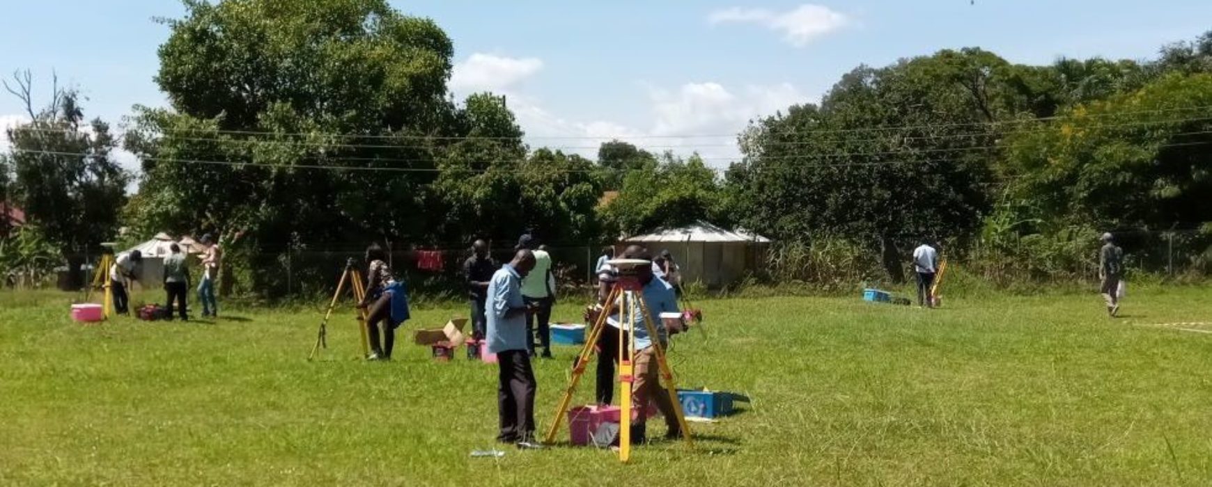
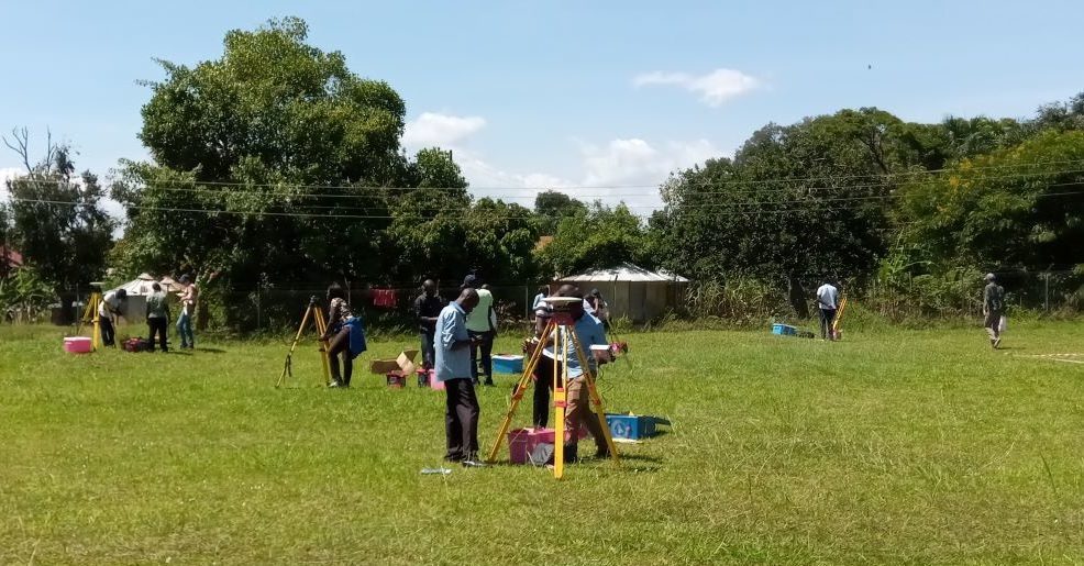
According to the Ministry of Lands, Housing and Urban Development (MLHUD), most of the reference points were outdated and no longer accurate enough to be consistent with modern technologies. Moreover, most of them have been destroyed or lost since their establishment in the 1950s and the evolution of surveying technology (GNSS) had to come to necessitate a technical step forward towards the most up-to-date geodetic technology: Continuously Operating Receiving Station (CORS).
The final UGRF project workshop took place in Entebbe, December 13th, 2019. More than 100 people attended the event, coming from both the surveying community and all stakeholders.
The project objectives have been achieved 30 months after the start of the project: the Uganda Geodetic Reference Frame (UGRF) network (426 points) has been established and observed and 12 continuously operating reference stations (CORS) are running, Real Time data corrections are available through a mobile 3G network and post processing data are available online. A 1 year maintenance agreement is also part of the contract that will be completed in November 2021.
All the results can be accessed through the web portal http://ugrf.go.ug
Watch #NTVNews: Government to update maps with modern technology
Project overview: Updating and implementing of geodetic reference frame for land administration, Uganda