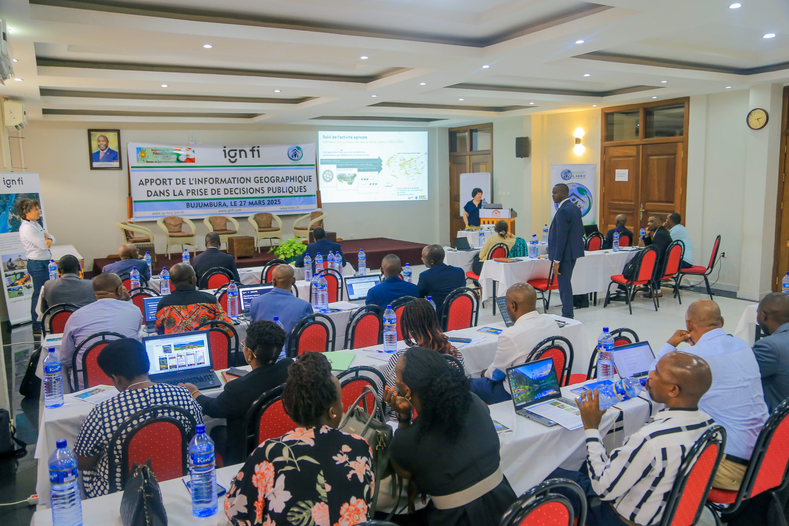
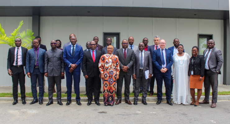
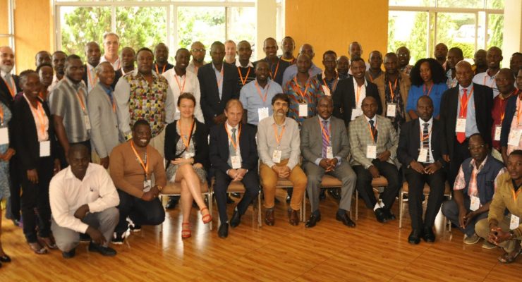
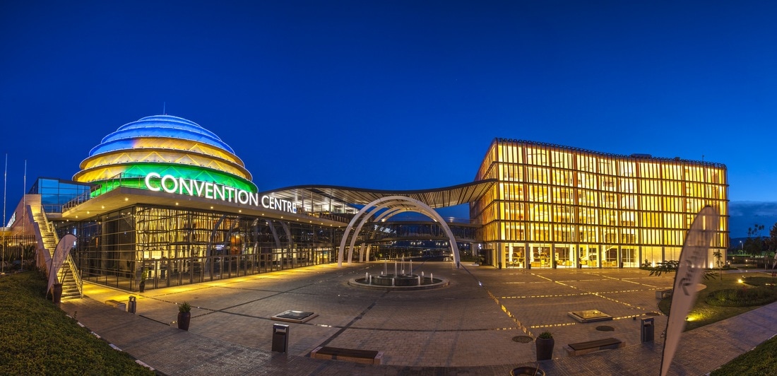
On Thursday 27 March 2025, a seminar dedicated to the contribution of geographic information in public decision-making was held at the Continue reading
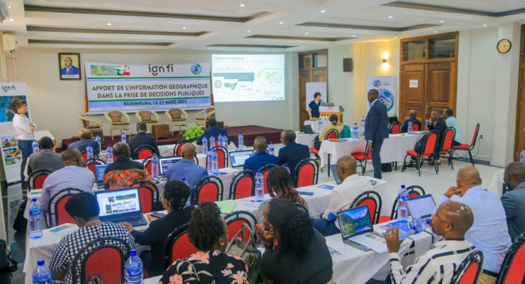
On Thursday 27 March 2025, a seminar dedicated to the contribution of geographic information in public decision-making was held at the Continue reading
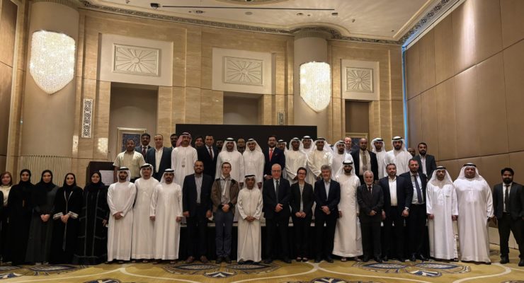
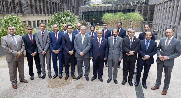
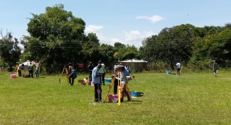
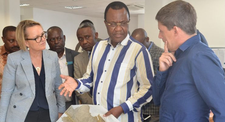
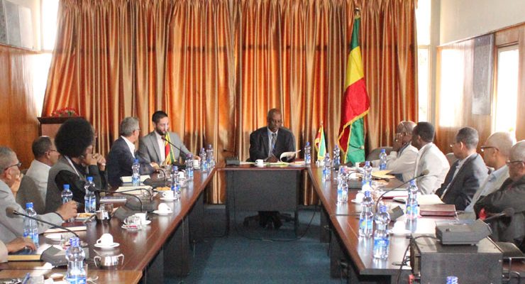
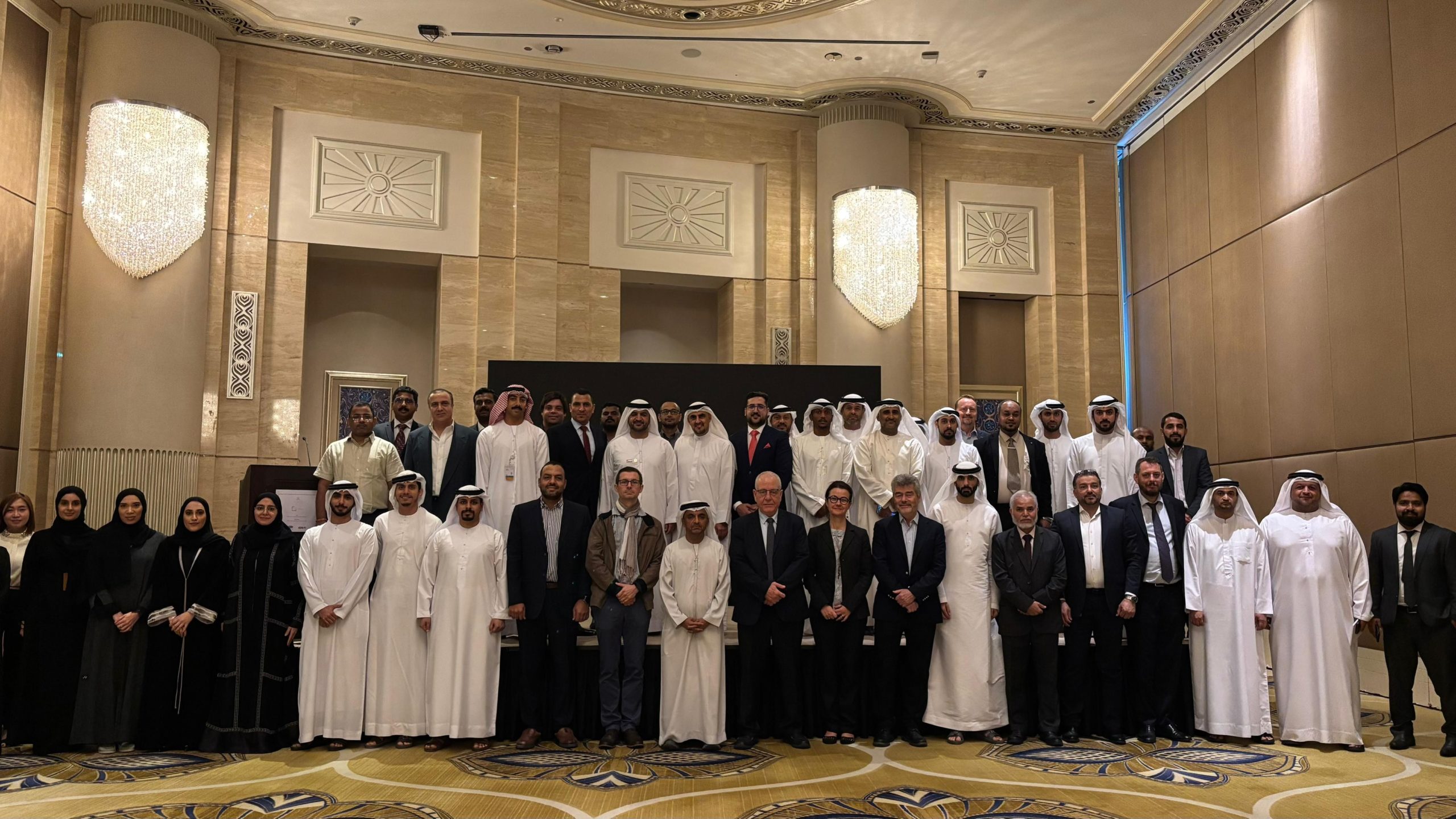
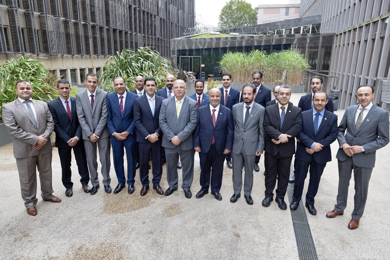
Under the initiative of the Federal Geographic Information Center for the establishment of the UAE National Geodetic Reference Frame (NGRF) and Continue reading
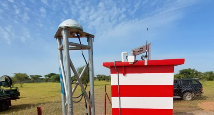
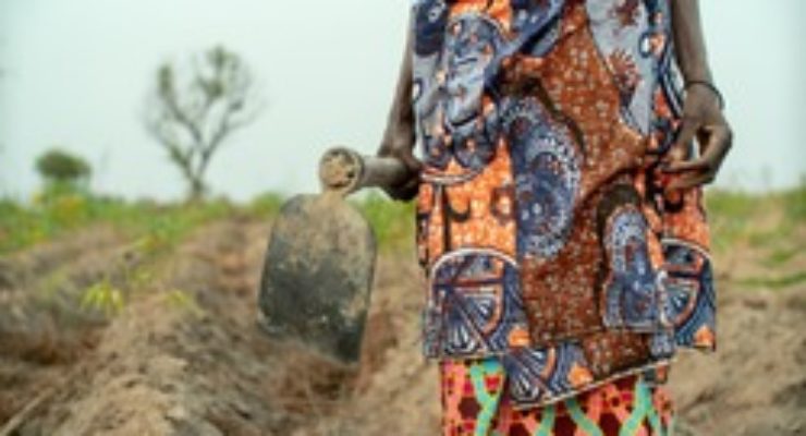
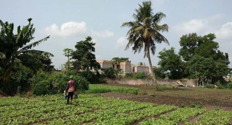
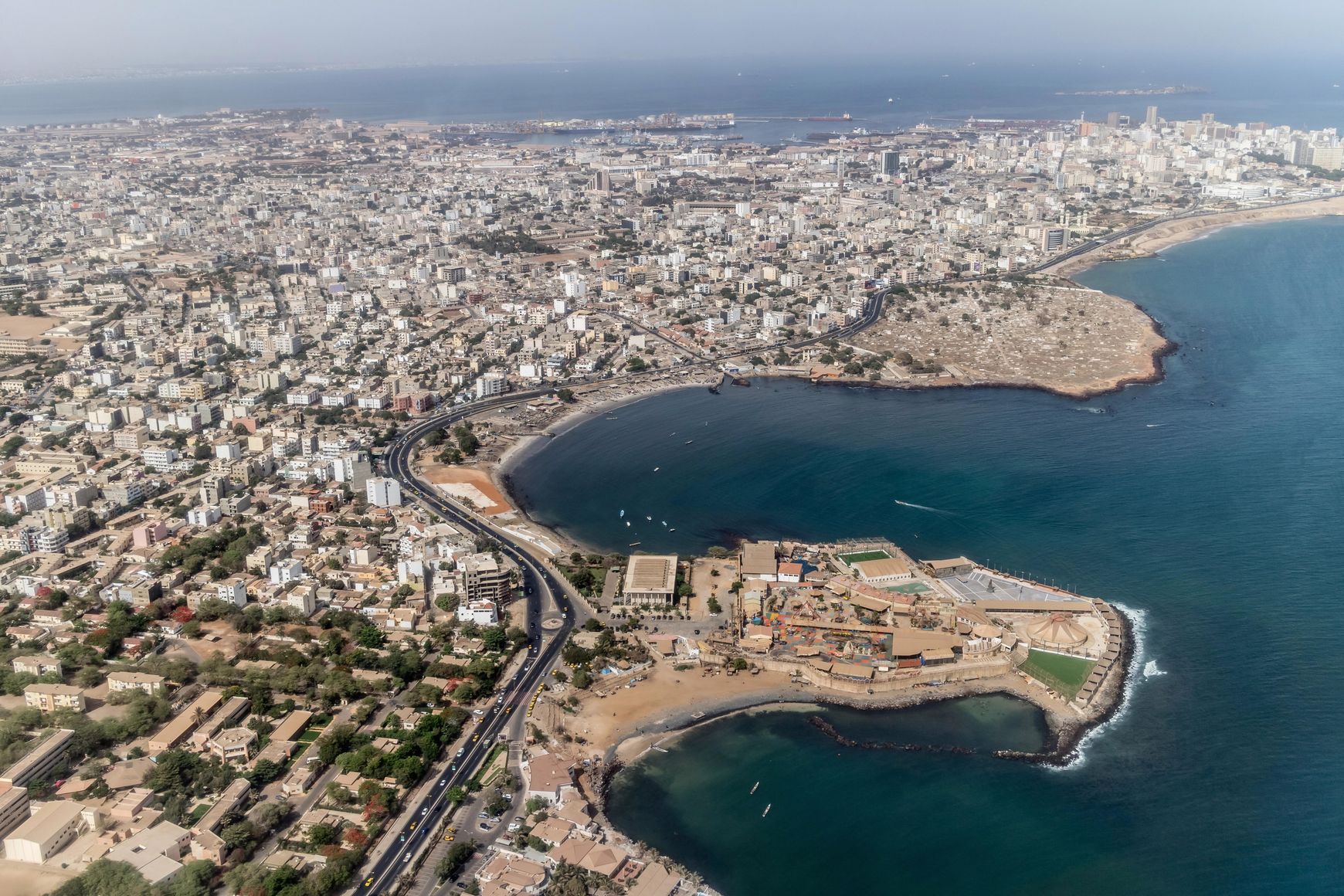
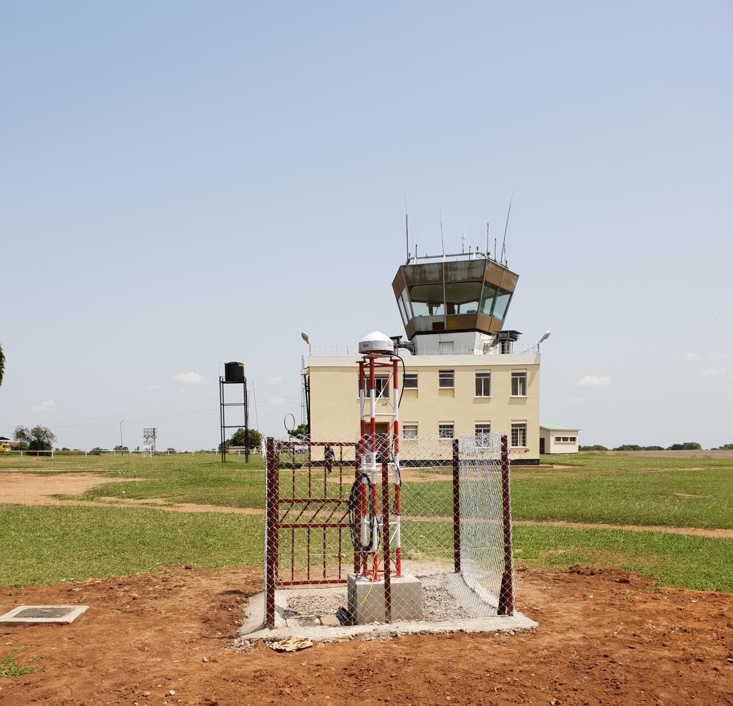
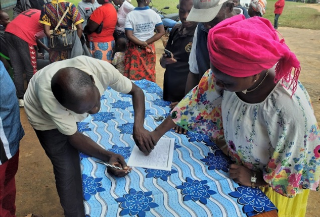
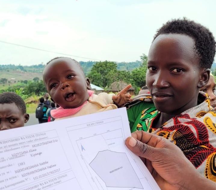
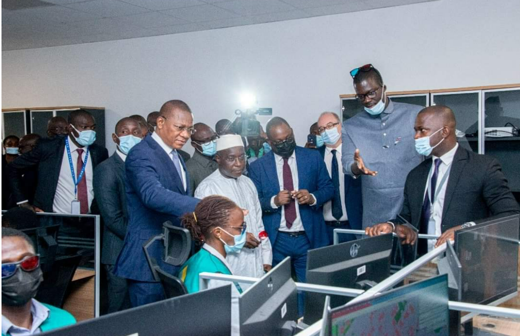
The project to modernise and rehabilitate Senegal's geodetic infrastructure is part of the Land Registry and Security Project (PROCASEF), which aims Continue reading
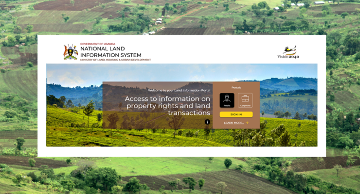
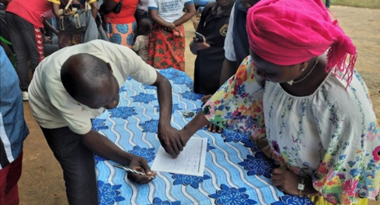
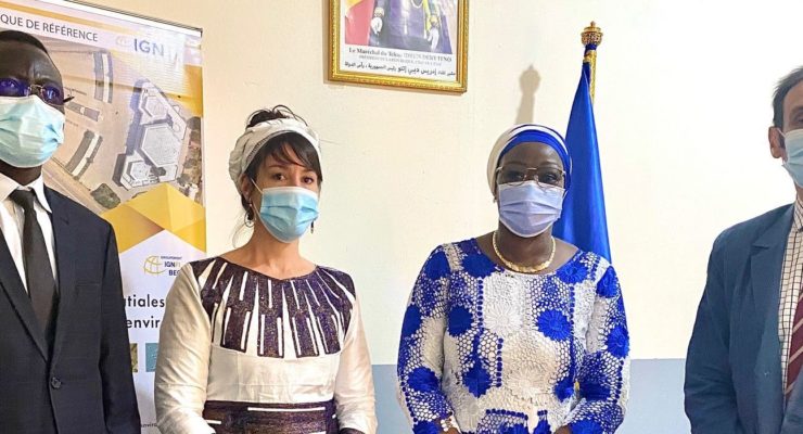
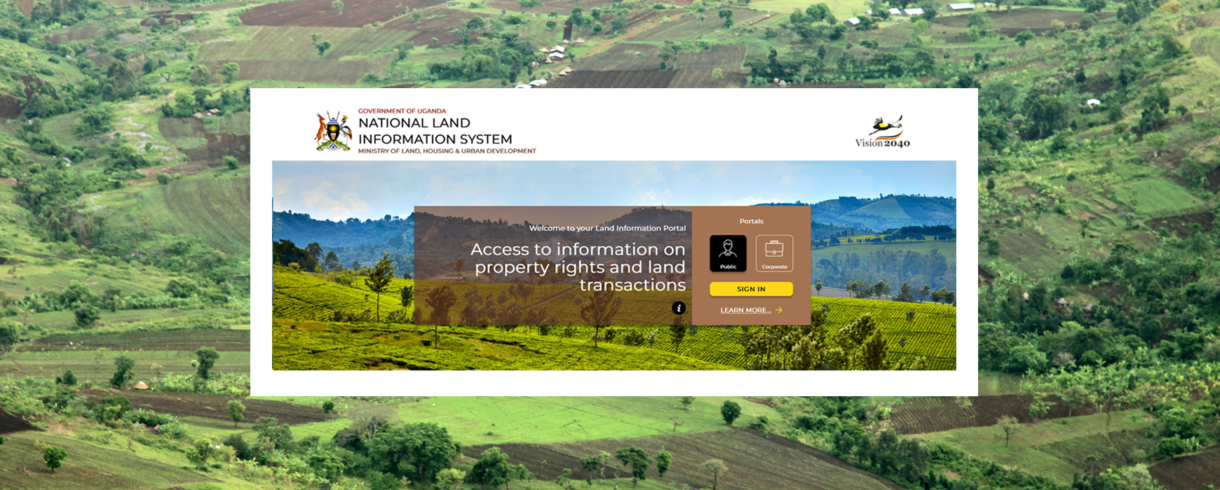
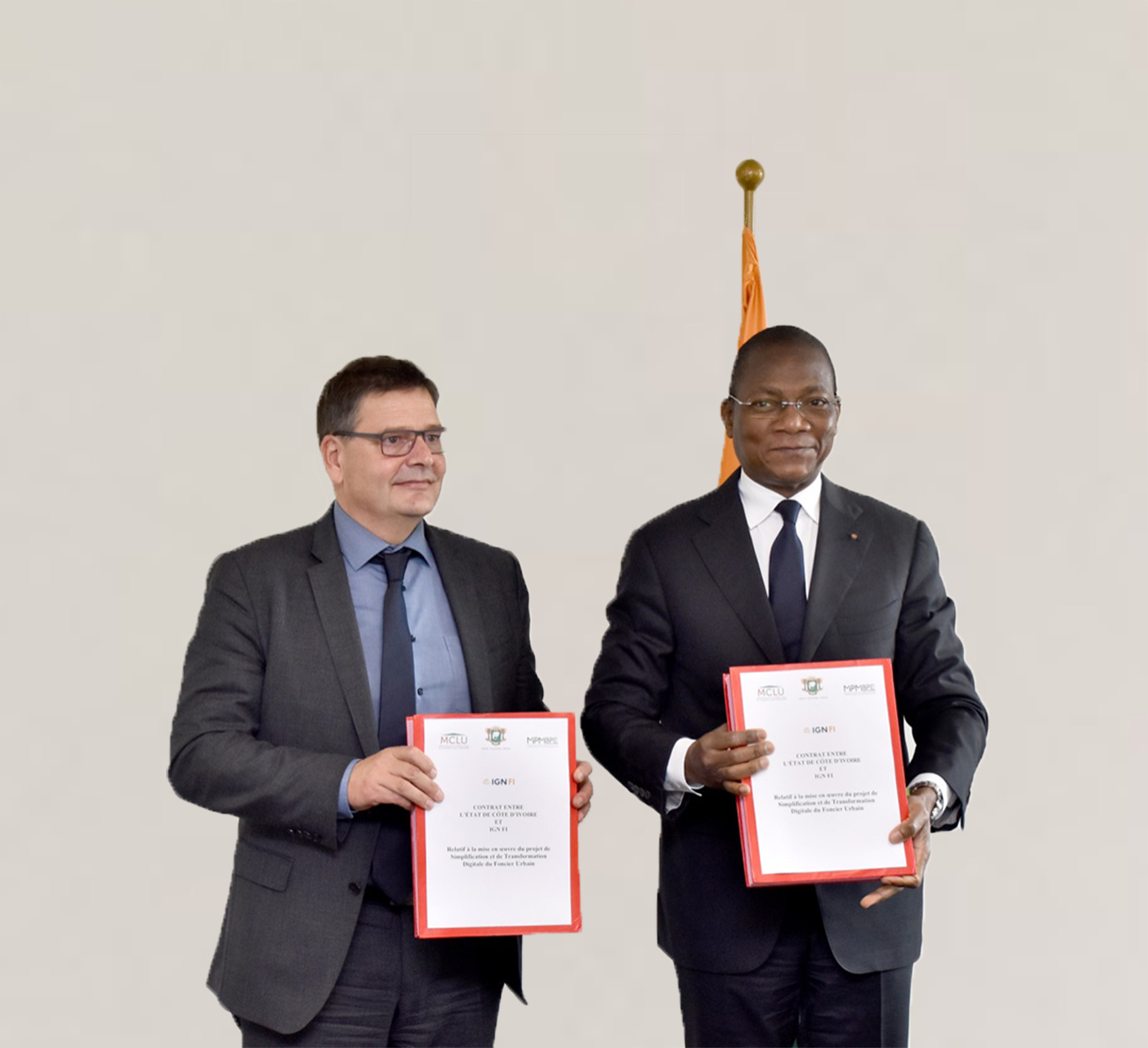
The Ministry of Lands, Housing & Urban Development (MLHUD), with the support of IGN FI has launched on Wednesday 2nd October Continue reading
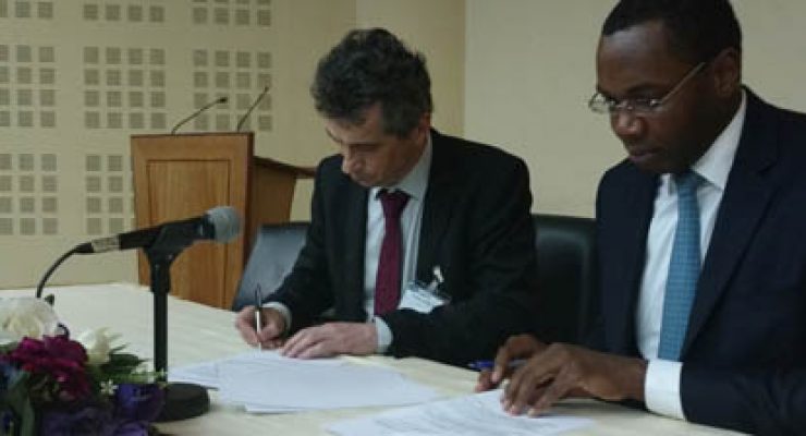
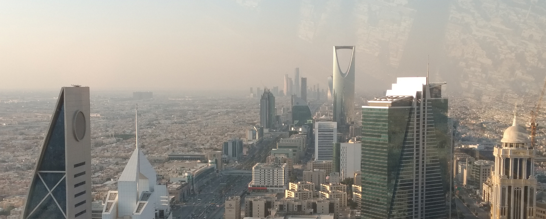
The Joint Saudi Jordanian Technical Committee has awarded the IGN FI - Almabani Consortium a contract for renewing the land boundary Continue reading

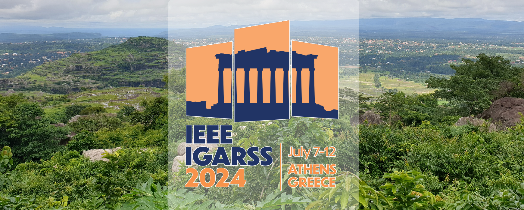
The IGARSS 2024 (International Geoscience and Remote Sensing Symposium) was held in Athens from 6 to 12 July. This event, organised by Continue reading
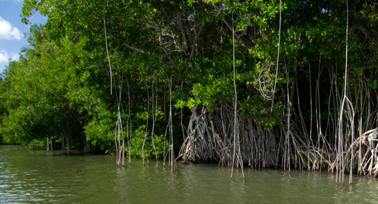
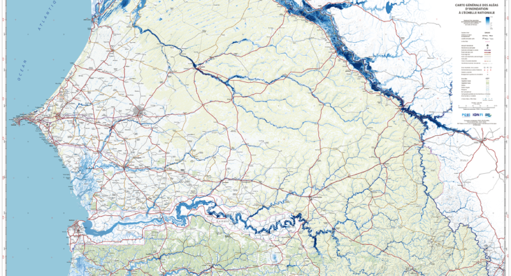
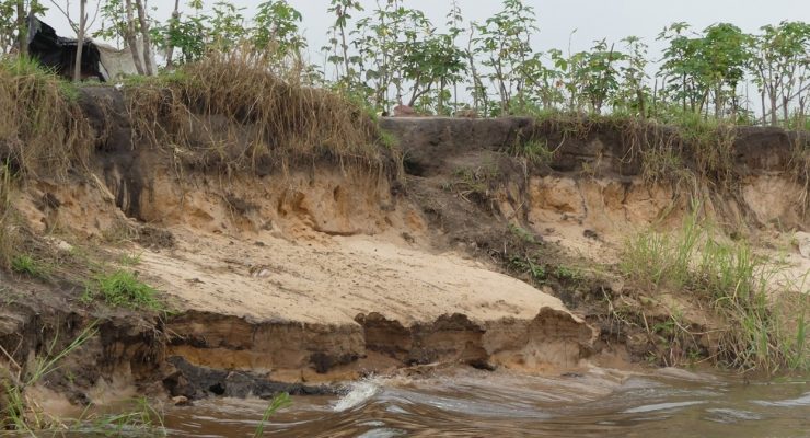
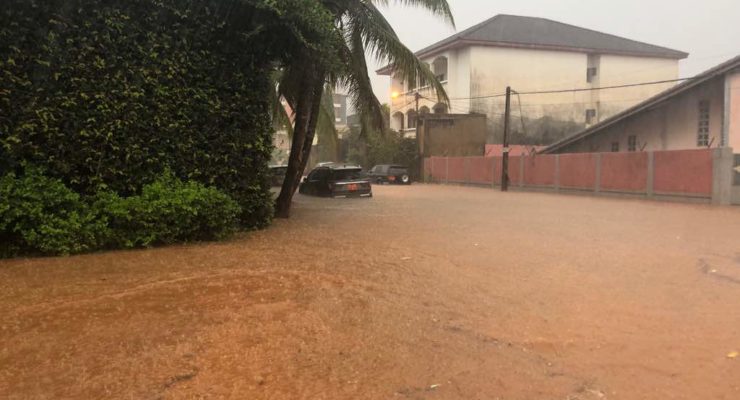
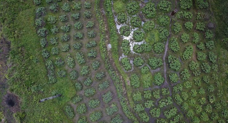
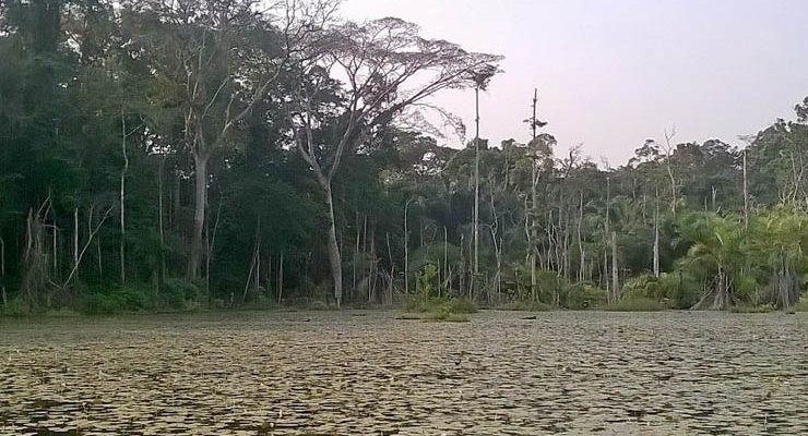
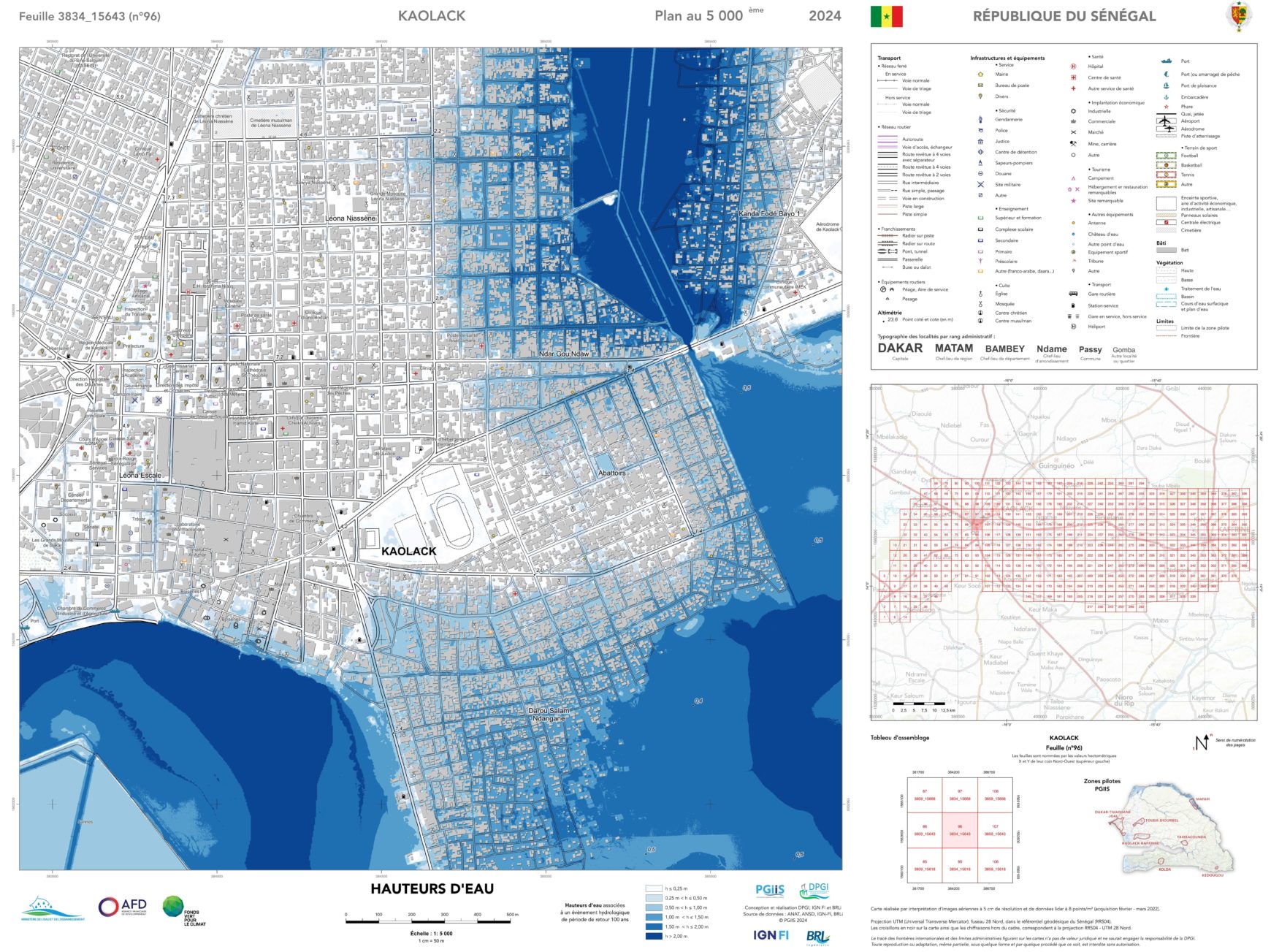
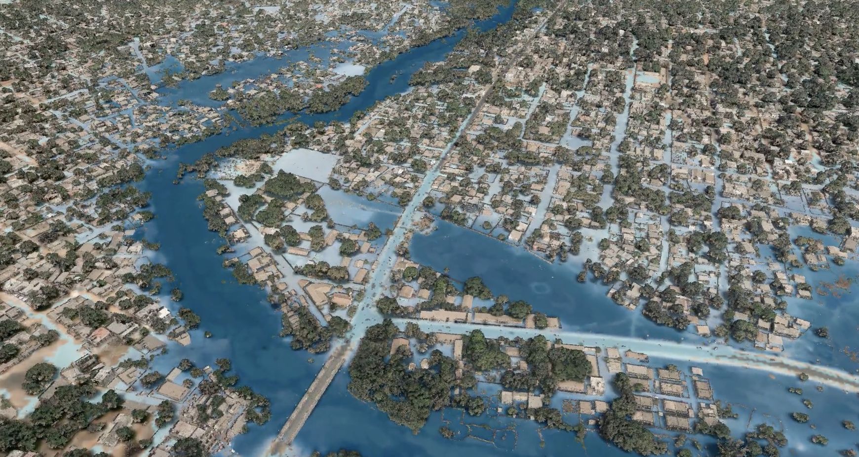
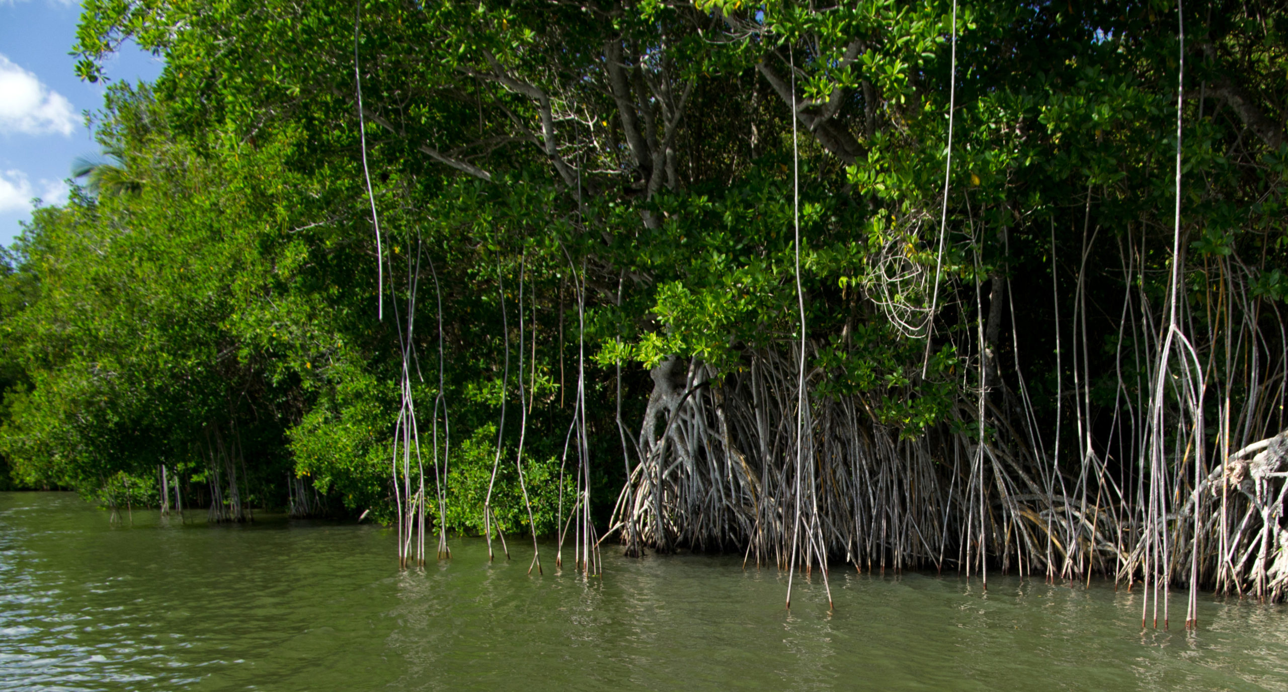
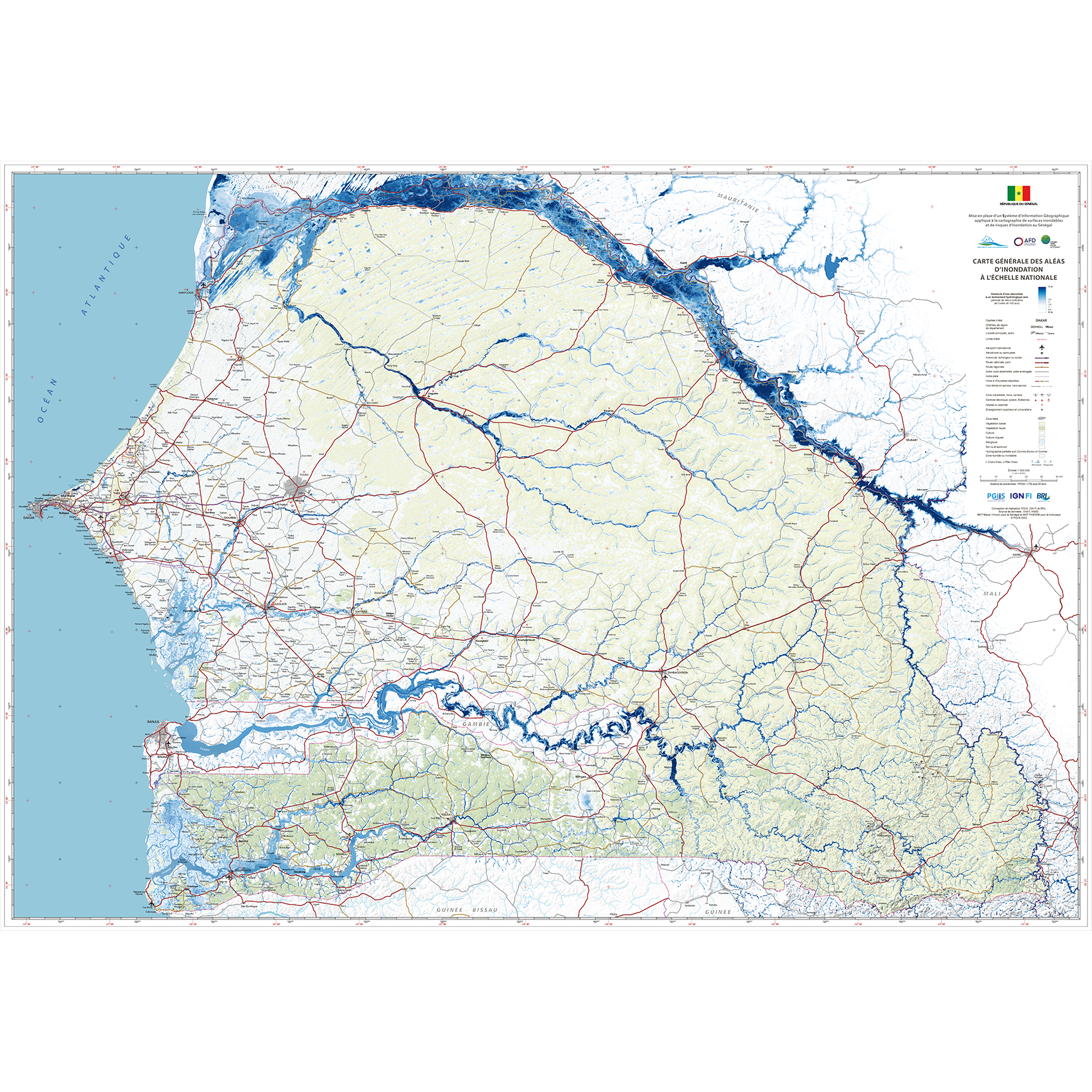
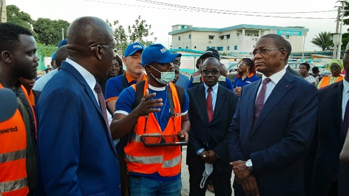
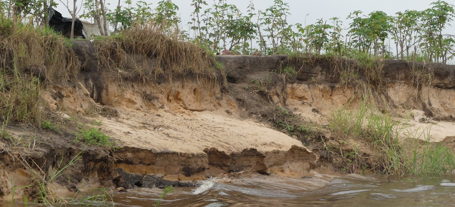
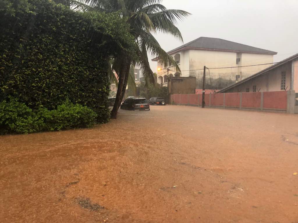
The Minister for Water and Sanitation, Cheikh Tidiane Dièye, presented the results of the scientific study on the mapping of flood-prone Continue reading
The consortium formed by Bruno Remoué & Associats - allNext - IGN FI consortium has been selected to carry out a Continue reading
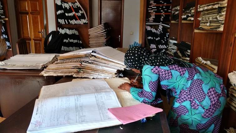
IGN FI has just been entrusted with the verification and validation of the quality of cadastral survey products and land tenure Continue reading
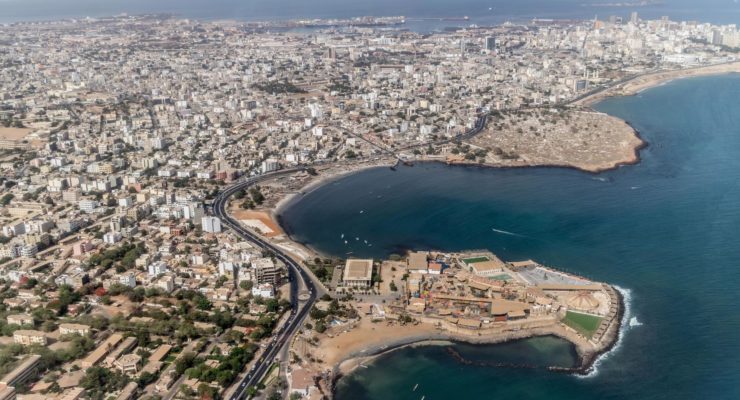
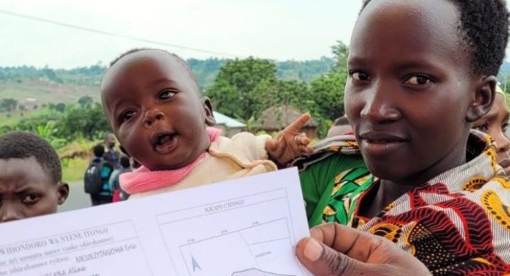
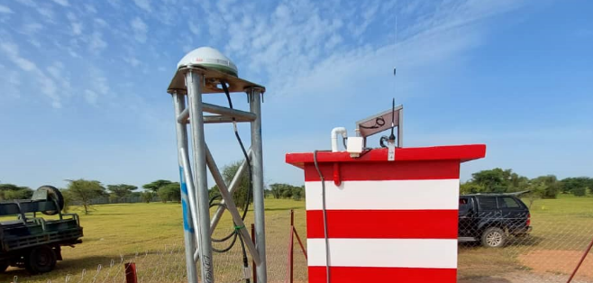
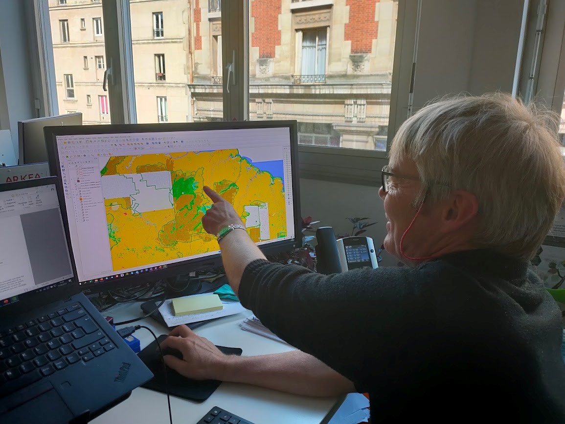
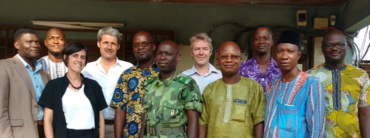
The project to modernise and rehabilitate Senegal 's geodetic infrastructure is part of the Land Registry and Security Project (PROCASEF), which aims to put in place land management tools throughout the country. The land reform underway in Senegal is a key commitment of the government, and must be based on a modern, reliable and accurate geodetic reference framework for the whole country, such an infrastructure being essential to guarantee the geospatial integrity of the surveying and positioning work. The implementation of this geodetic reference network is being carried out by the IGN FI/Leica Geosystems consortium, and includes the installation of a network of 14 new permanent GNSS stations, the upgrading of 2 existing public stations and the integration of 6 other stations that are already operational. The project also involves rehabilitating the existing 1st and 2nd order geodetic networks, setting up a geodetic database and a user portal, and transferring skills to PROCASEF' s technical staff. The project started at the end of November 2023 and Continue reading
Today, on International Women 's Rights Day, we are proud to see that more and more women are getting involved and achieving success in traditionally male-dominated fields, particularly in the field of geographic information, which is becoming increasingly feminised. At IGN FI' s head office, for example, we have achieved parity between men and women, and on our projects Continue reading
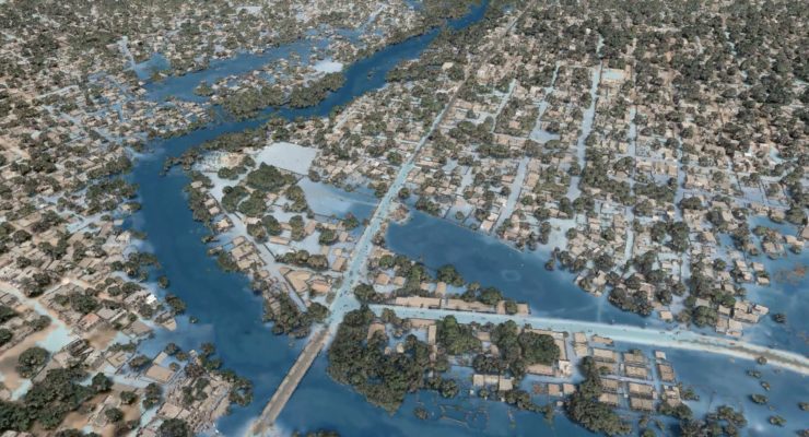
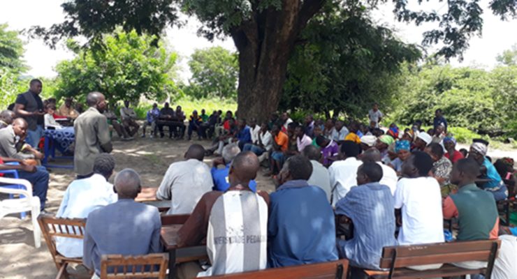
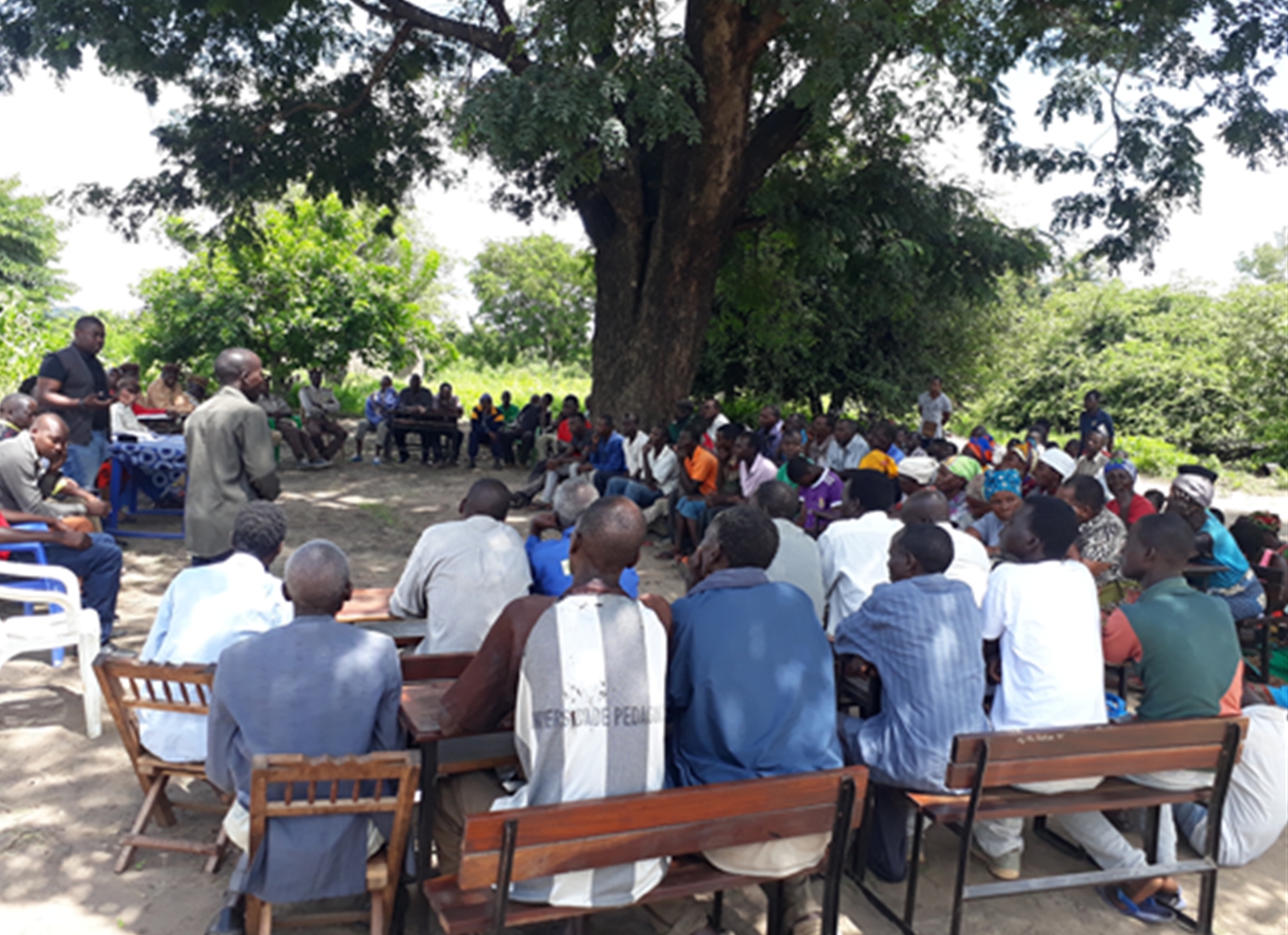
The presentation of the results of the Integrated Flood Management Project (PGIIS) in the Kolda area brought together all the stakeholders Continue reading
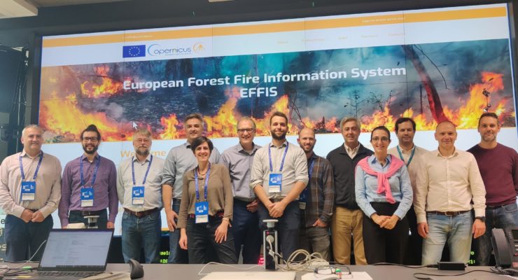
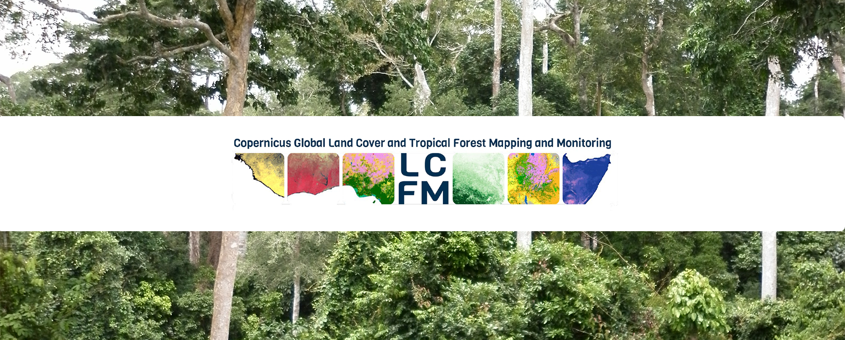
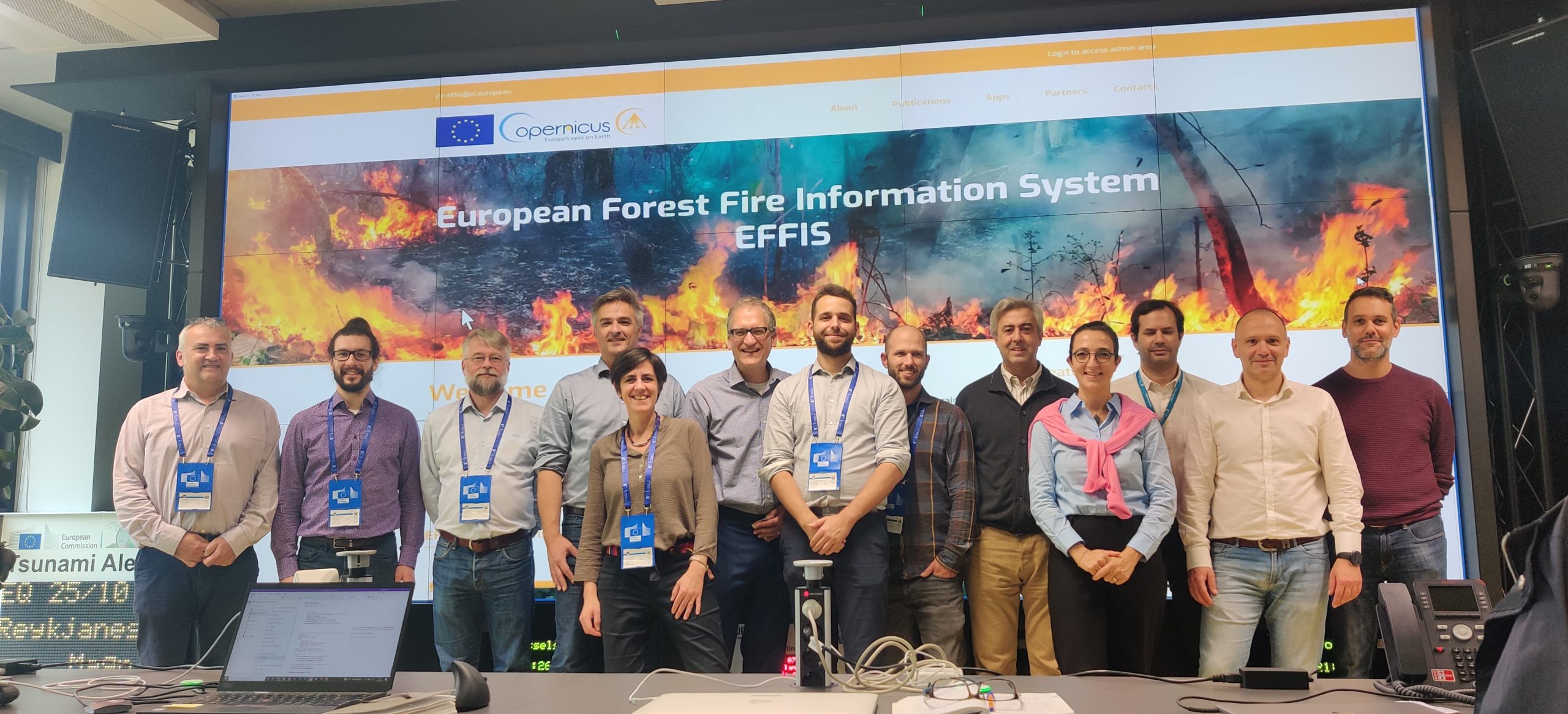
In November 2023, the Joint Research Centre (JRC) of the European Commission and VITO signed a four-year framework contract for the Continue reading
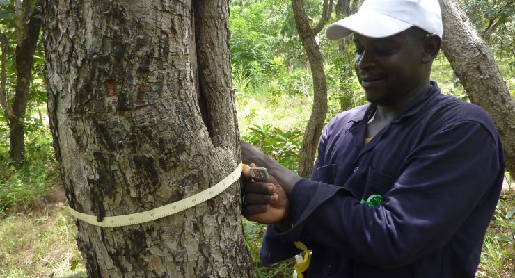
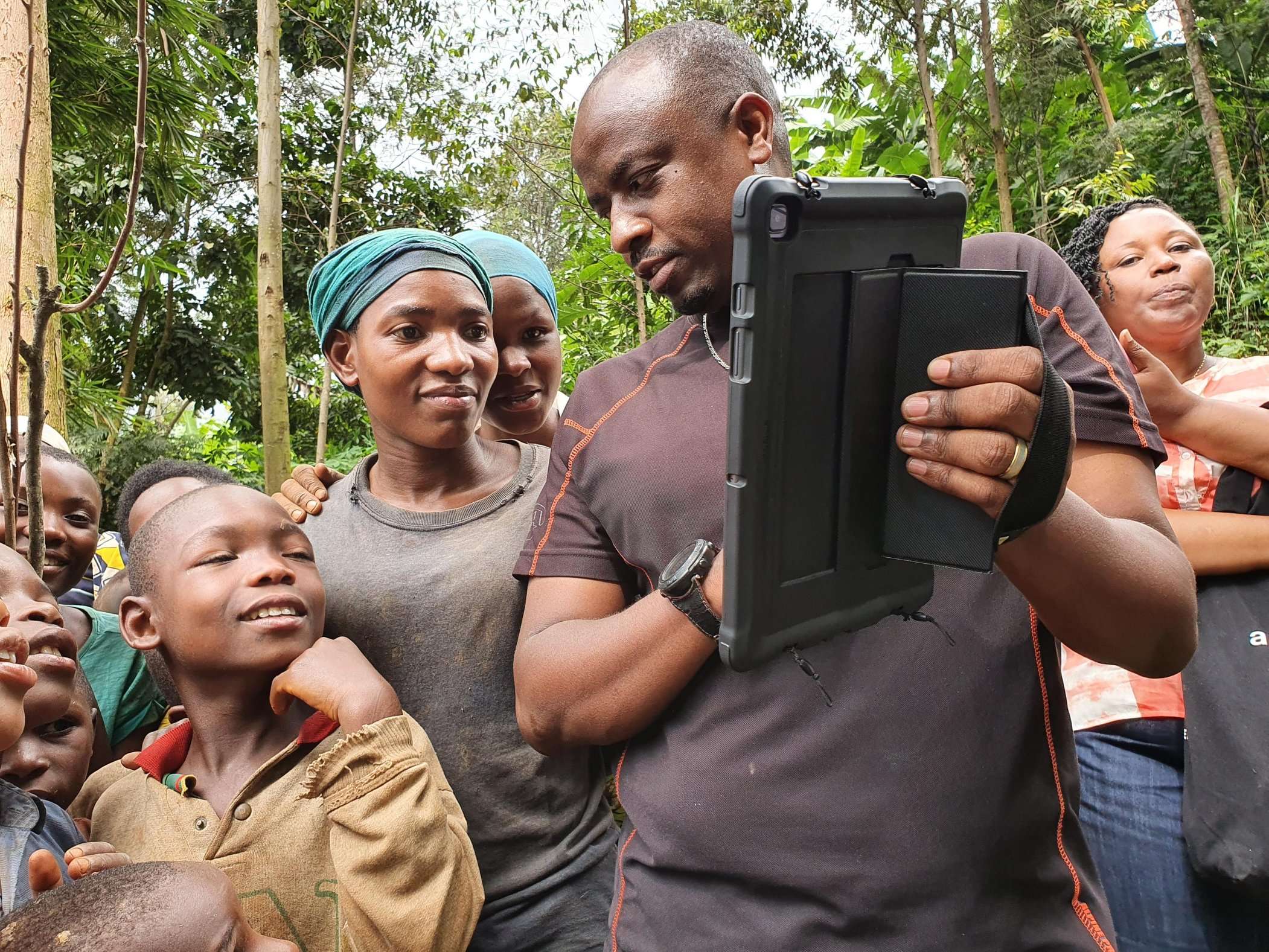
The World Bank has mobilised a consortium comprising IGN FI/ONFI/ SalvaTerra to study how to set up a National Forest and Continue reading
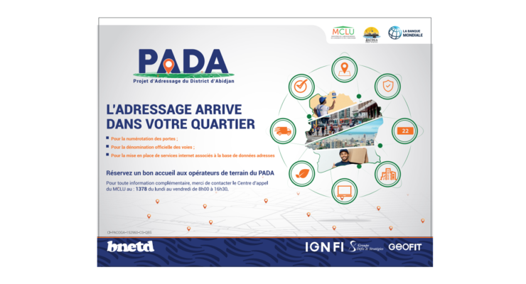
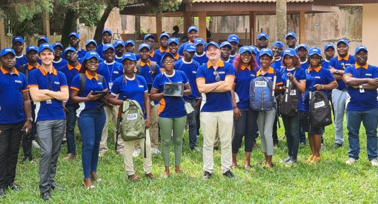
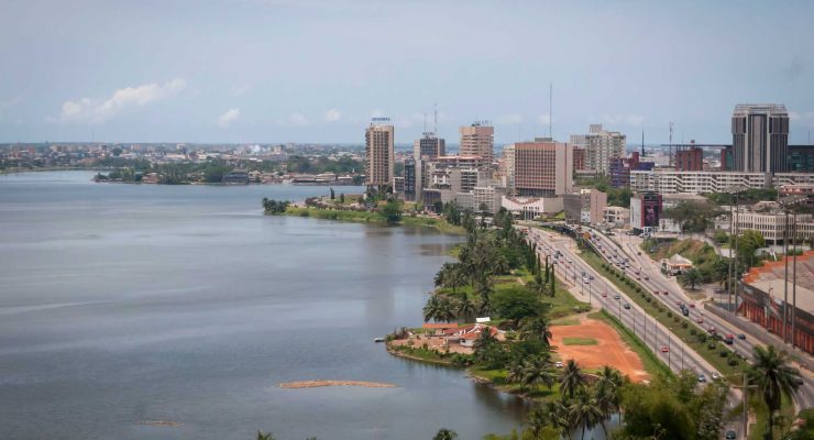
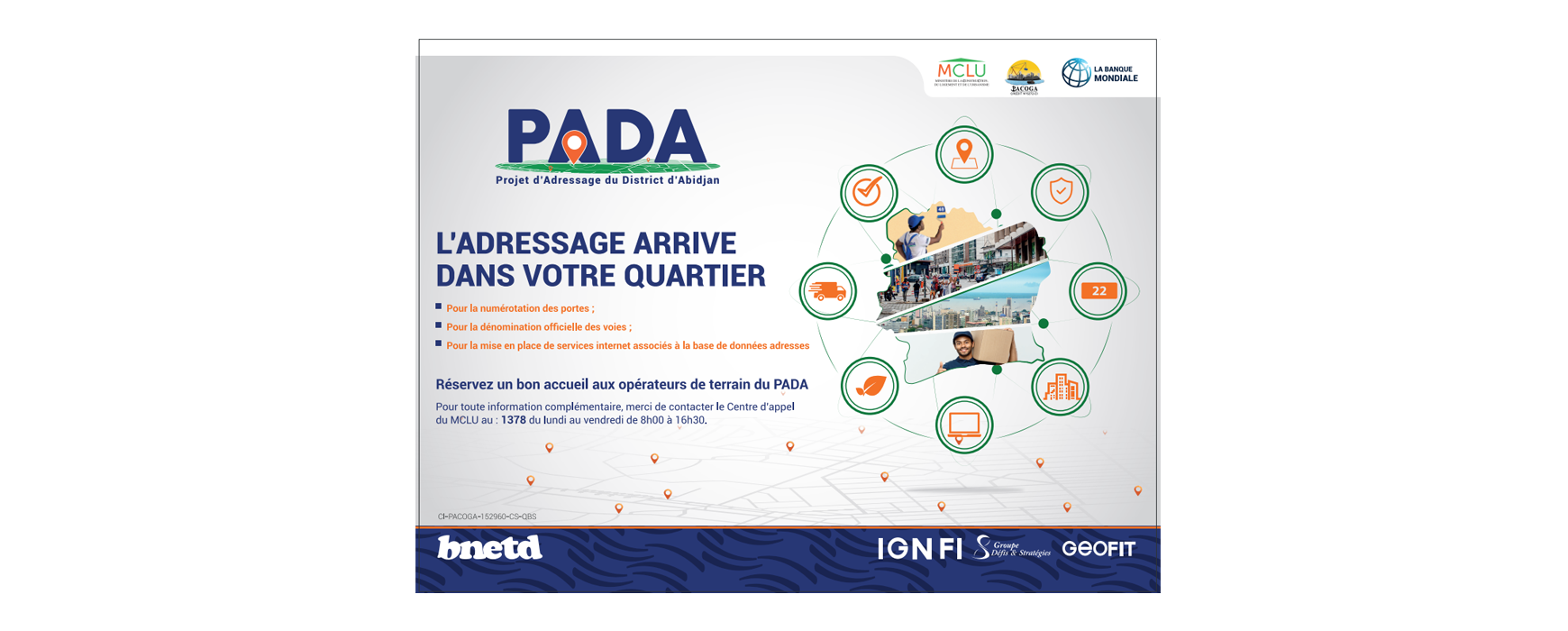
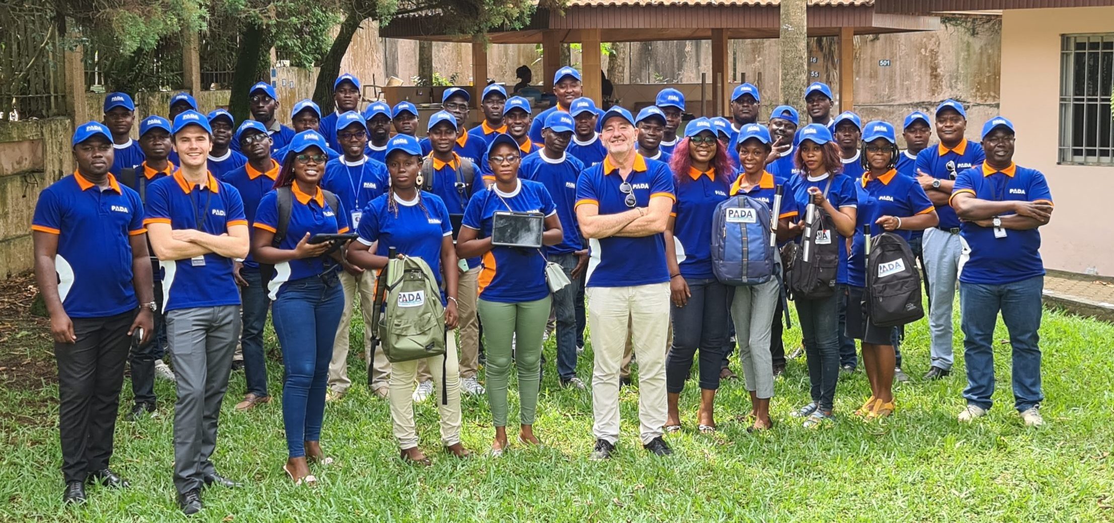
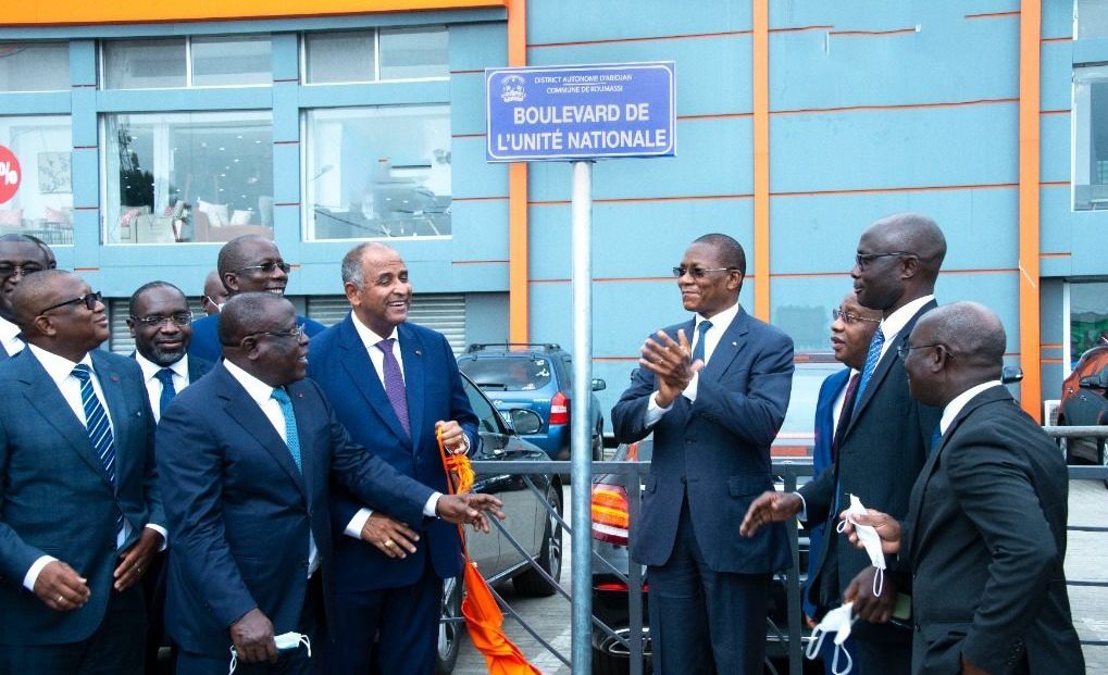
The Abidjan District Addressing Project (Projet d 'Adressage du District d' Abidjan - PADA) has taken significant steps towards achieving a comprehensive addressing system and Continue reading
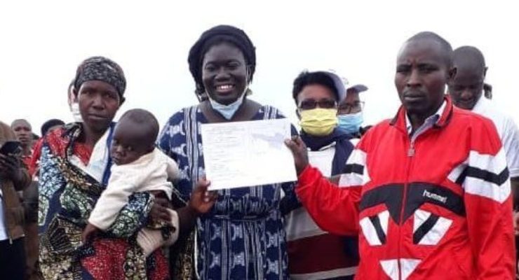
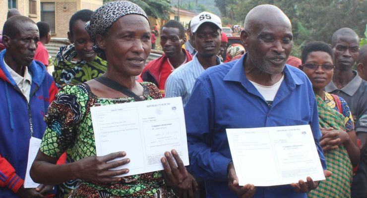
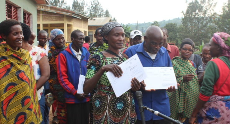
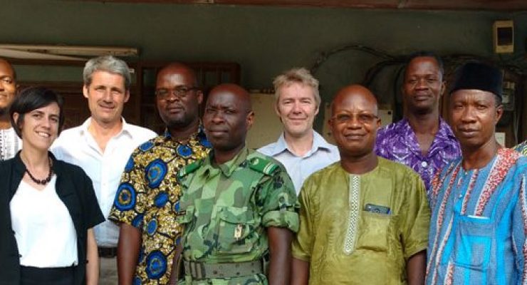
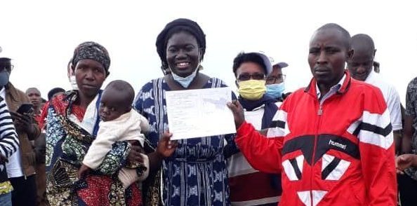
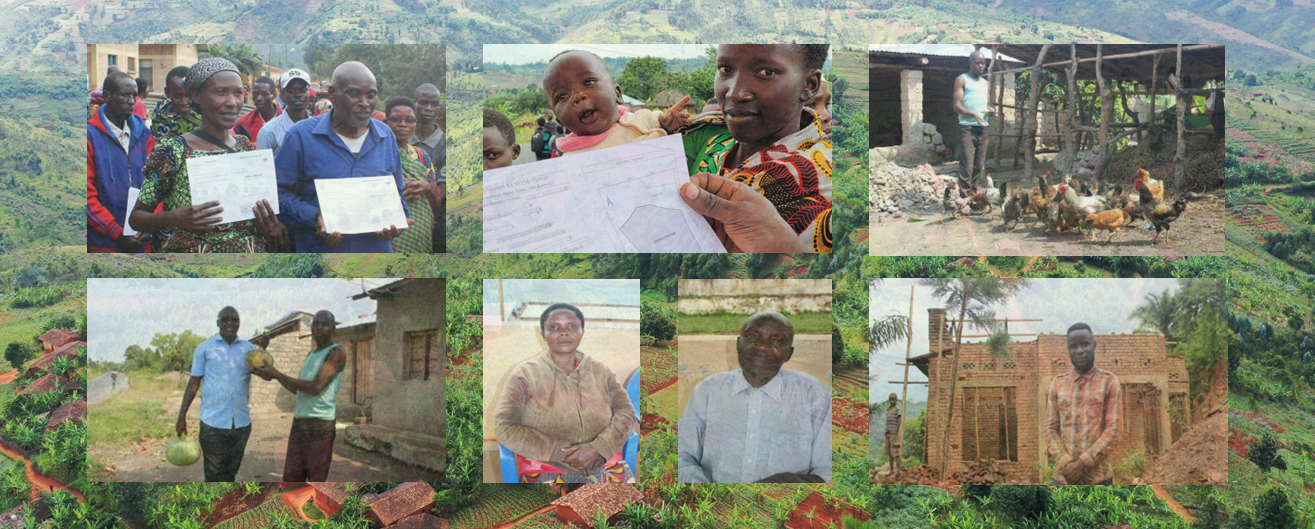
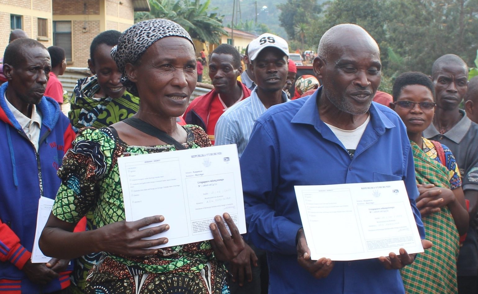
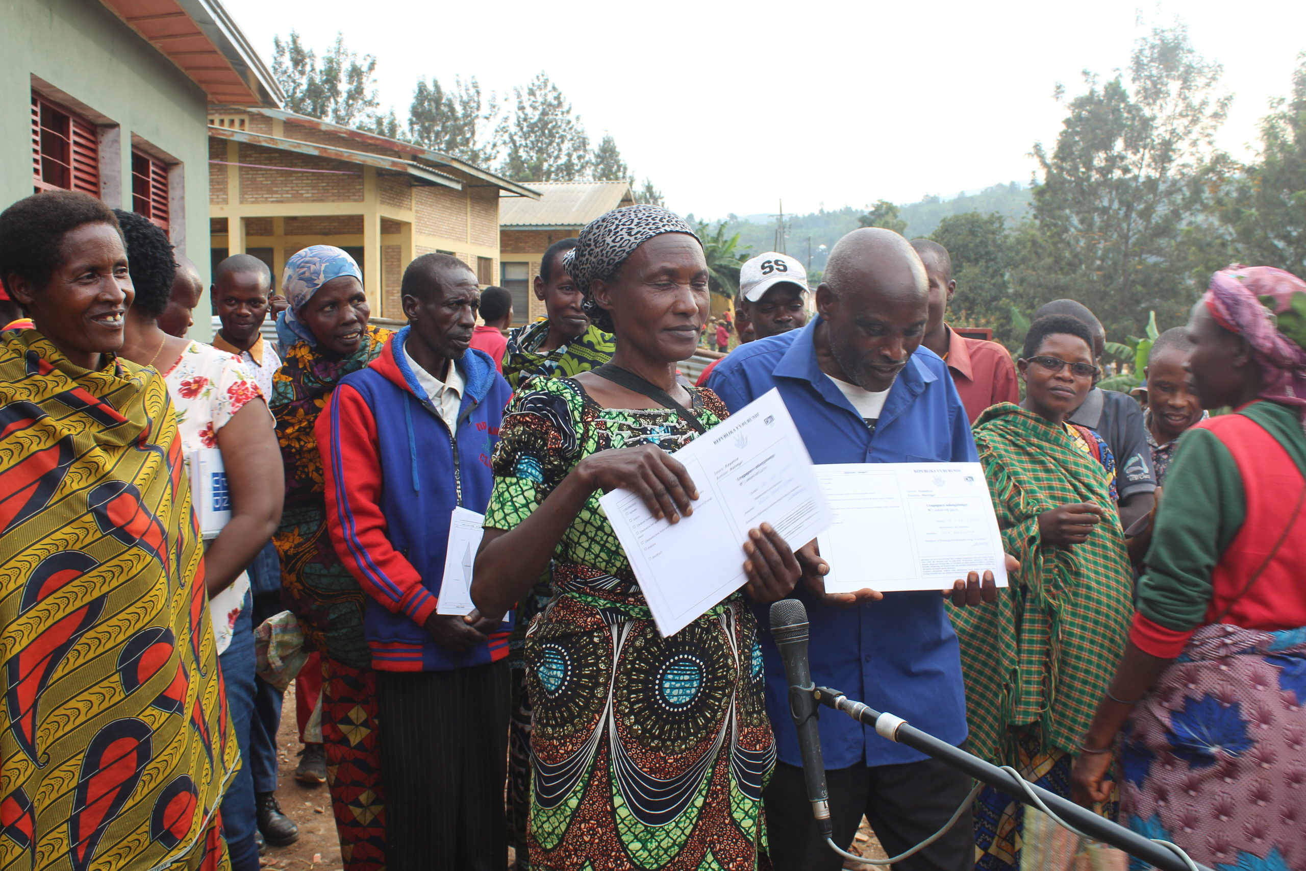
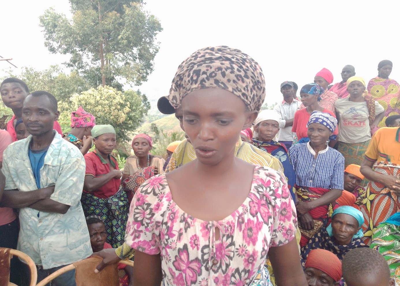
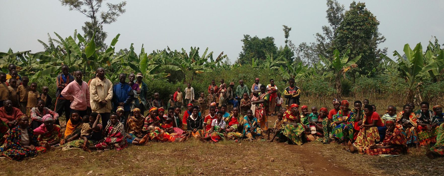
Implementation of the land certification component of the PRRPB (Projet de Restauration et de Résilience du Paysage du Burundi - Burundi Continue reading
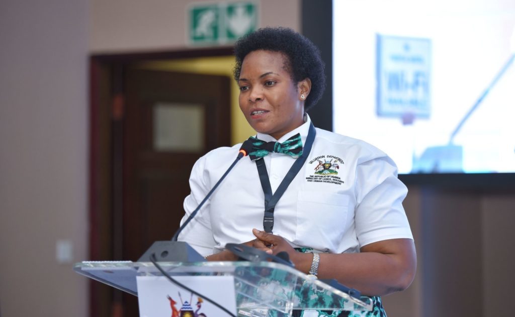
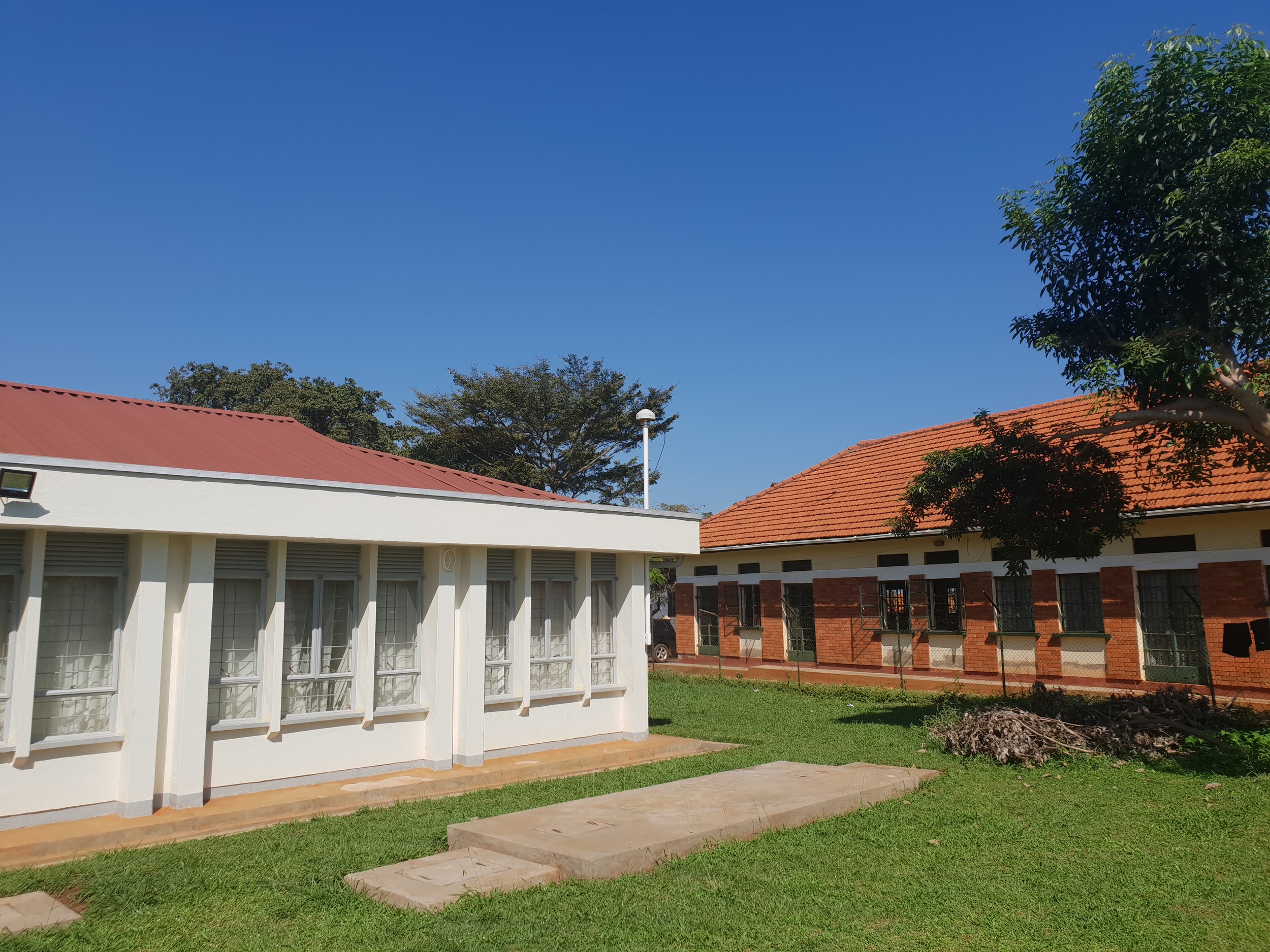
The improvement of the Land Administration System in Uganda is among the priorities of the Land Sector Strategic Plan (LSSP) of Continue reading

Starting in October 2021, the Component 1 of the Integrated Flood Management Project in Senegal (PGIIS - Projet de Gestion Intégrée Continue reading
The Technical Secretariat of the Integrated Urban Land Management System (SIGFU) project held its second meeting on Tuesday 16 May 2023 Continue reading
The consortium formed by IGN FI and Geosystems has begun land certification and support to land tenure offices in Madagascar in the Continue reading
The IGN FI/ GEOFIT/ LADEC consortium has just completed the land tenure security project in the communes of Buhinyuza, Isale Continue reading
ONF International, IGN FI and the National Center for Scientific Research (CNRS), have produced a methodology for assessing the carbon storage capacities Continue reading
The Liberia Land Authority (LLA) now has its Operational Field Manual for the Formalisation of Customary Land Rights, developed and provided Continue reading
The Steering Committee of the Integrated Urban Land Management System (SIGFU) implementation project held its second meeting on Friday 24 March. Continue reading
Financed by the Green Climate Fund (GCF) with the support of the French Development Agency (AFD), the Integrated Flood Management Project Continue reading
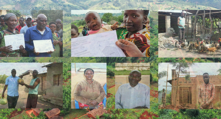
The end-of-project seminar of the Burundi Landscape Restoration and Resilience Project (PRRPB) was held on 23 March 2023 in Bujumbura, in Continue reading
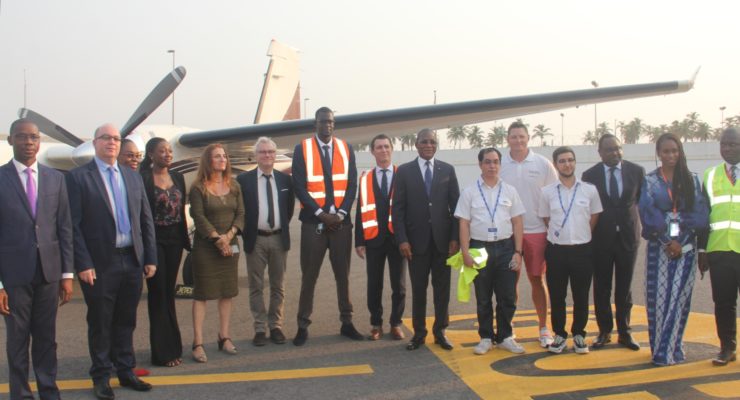
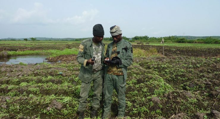
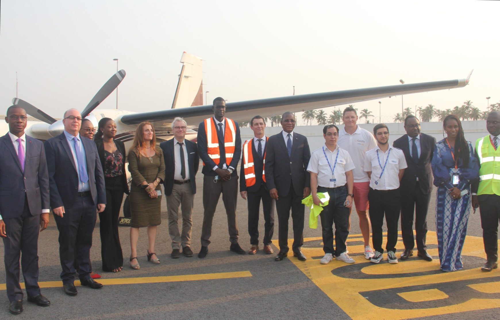
At the beginning of 2022, IGN FI won a contract with the Senegalese Air Force for visual flight mapping of the Continue reading
On the occasion of a supervisory mission carried out in Matongo by the World Bank in Burundi on the 20th of Continue reading
Within the framework of the Burundi Resilience and Landscape Restoration Project (PRRPB), the communes of Isare (Bujumbura province) and Buhinyuza (Muyinga Continue reading
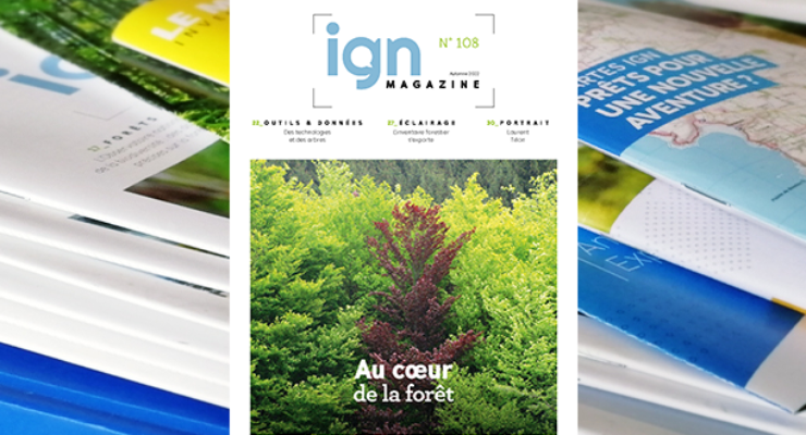
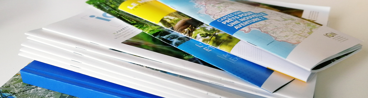
Every three months IGN Magazine brings you the latest news from IGN plus in-depth reports providing insights into the world of Continue reading
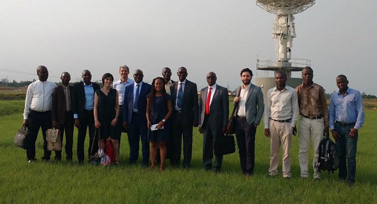
IGN FI has been awarded the study on the implementation of permanent stations throughout the national territory in order to develop Continue reading
The Burundi Landscape Restoration and Resilience Project (PRRPB) financed by the World Bank for the Government of Burundi, in its sub-component Continue reading
Created in 1978, GICAT, the Group of French industries for land and air-land defence and security, has more than 380 members. Continue reading
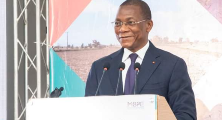
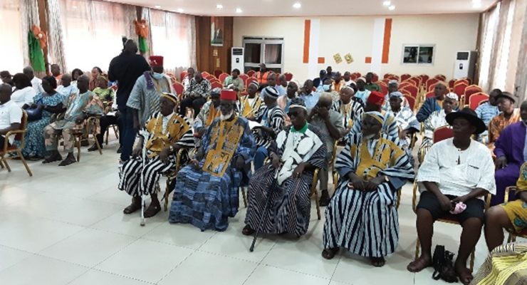
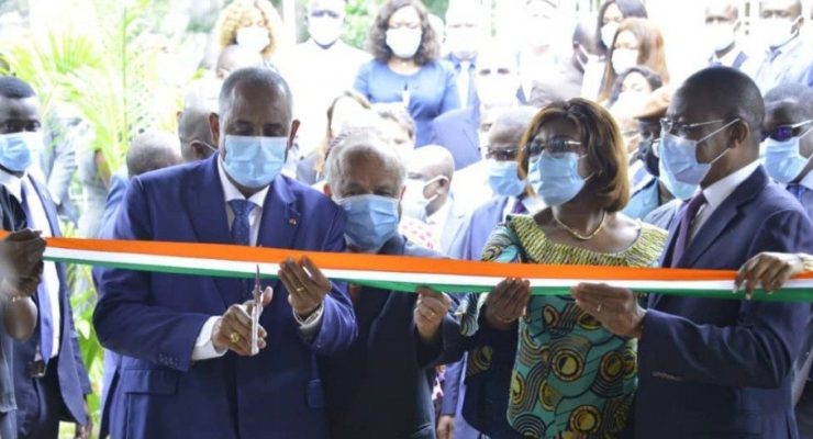
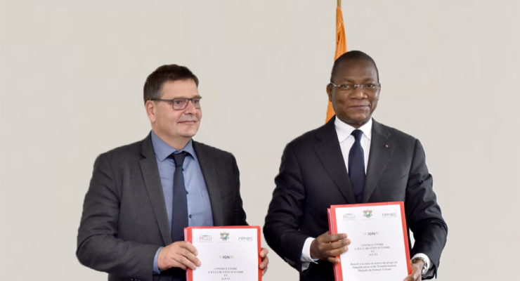
The Minister Bruno Nabagné KONE took part, on Friday 11 November 2022, at the Golden Palace Hotel in Grand-Bassam, in the Continue reading
The partners of the IGN FI – RISCOGNITION – Finnish Meteorological Institute (FMI) – GEOFIT consortium met at the JRC (Joint Research Continue reading
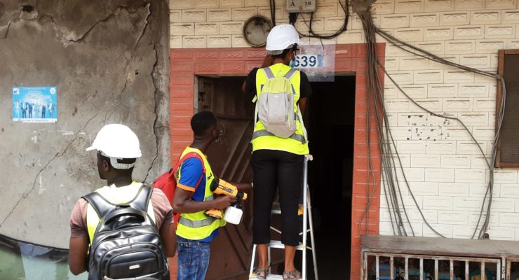
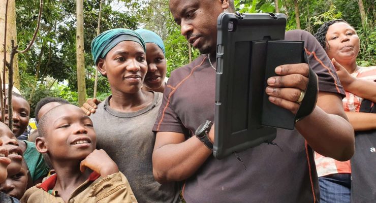
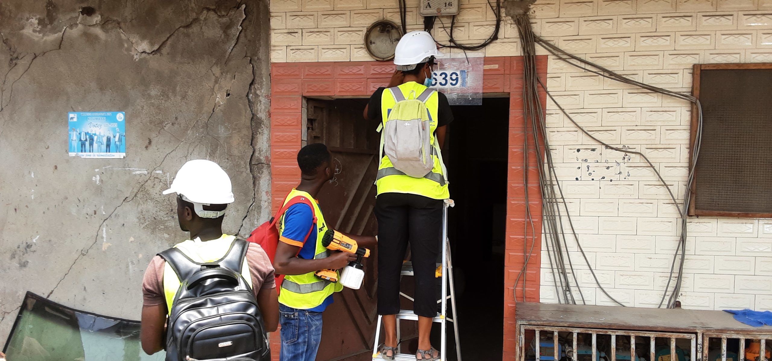
The door painting operations in the Commune of Adjamé are in the final stages. They are carried out by a team Continue reading
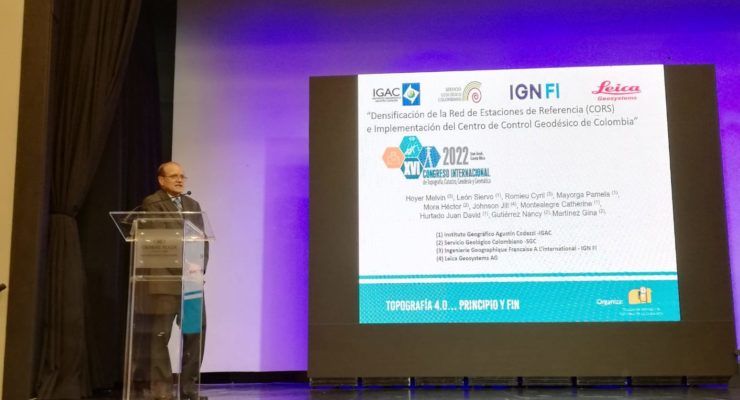
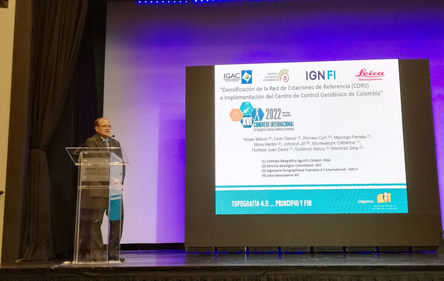
From 22 to 25 September, the XVI International Congress of Topography, Cadastre, Geodesy and Geomatics was held in San José (Costa Continue reading
Every three months IGN Magazine brings you the latest news from IGN plus in-depth reports providing insights into the world of Continue reading

The purpose of the Address System Project of streets and public places in the Abidjan District (PADA) is to implement a Continue reading
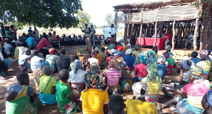
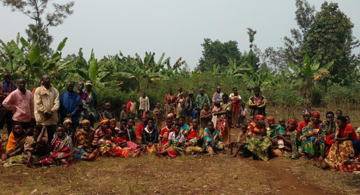
Within the framework of the PRRPB project currently underway in Burundi, a stakeholder sensitisation workshop on gender mainstreaming in the land Continue reading
The Government of Mozambique, with the support of the World Bank, launched the Terra Segura Project in 2019, which has Continue reading
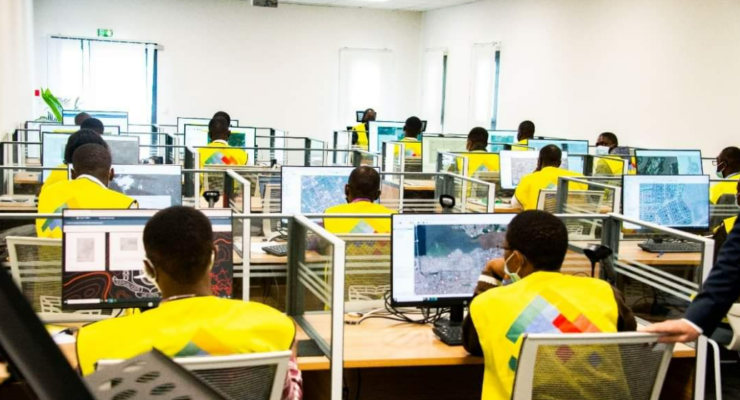
10 months after its launch, SIGFU, the Integrated Urban Land Management System of Ivory Coast, is almost halfway through its implementation Continue reading
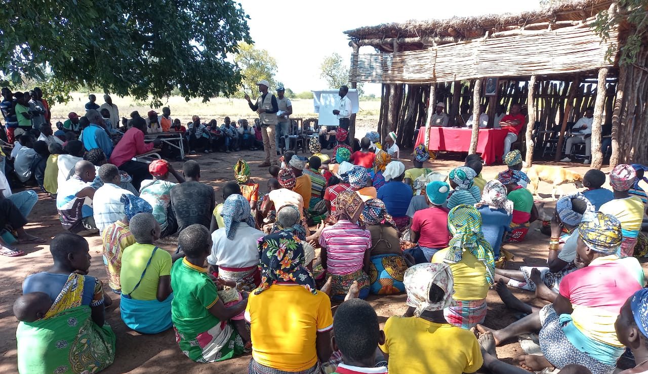
As a prelude to the start of the surveys, information sessions were organised in the three communes of zone 2, Continue reading
The Minister of Construction, Housing and Urbanism, Mr Bruno Nabagné KONE, chaired the first meeting of the Steering Committee of the Continue reading
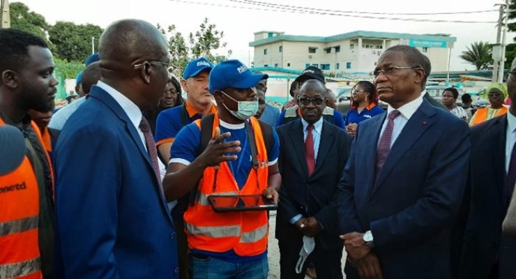
The Minister of Construction, Housing and Urbanism, Mr. Bruno Nabagné KONE, made a working visit on May 10th, 2022, to Continue reading
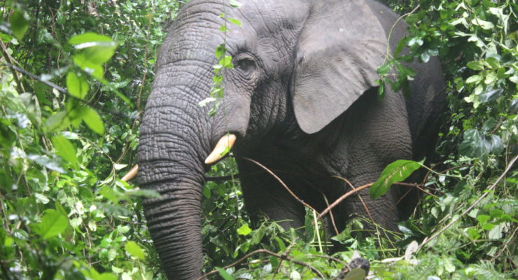
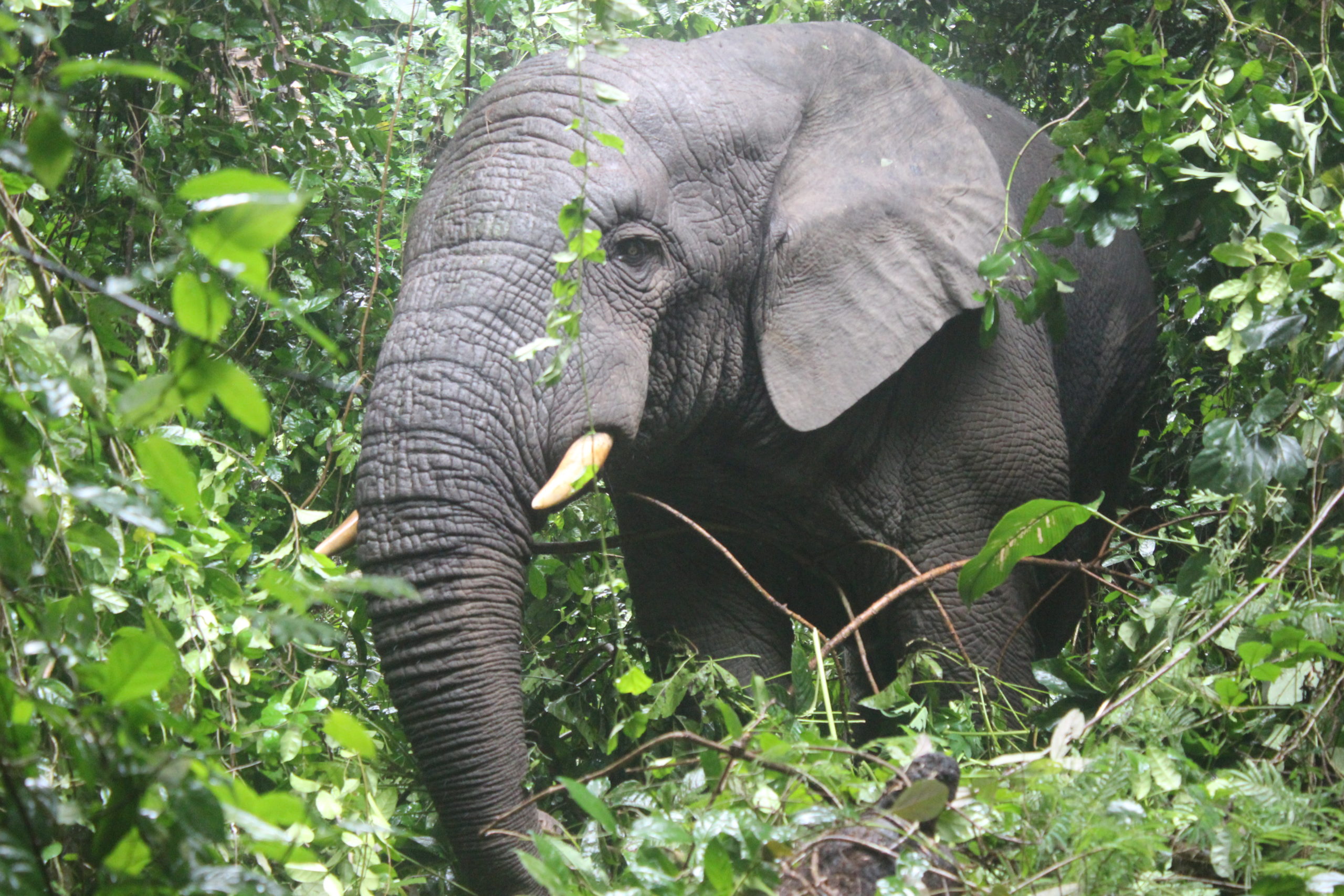
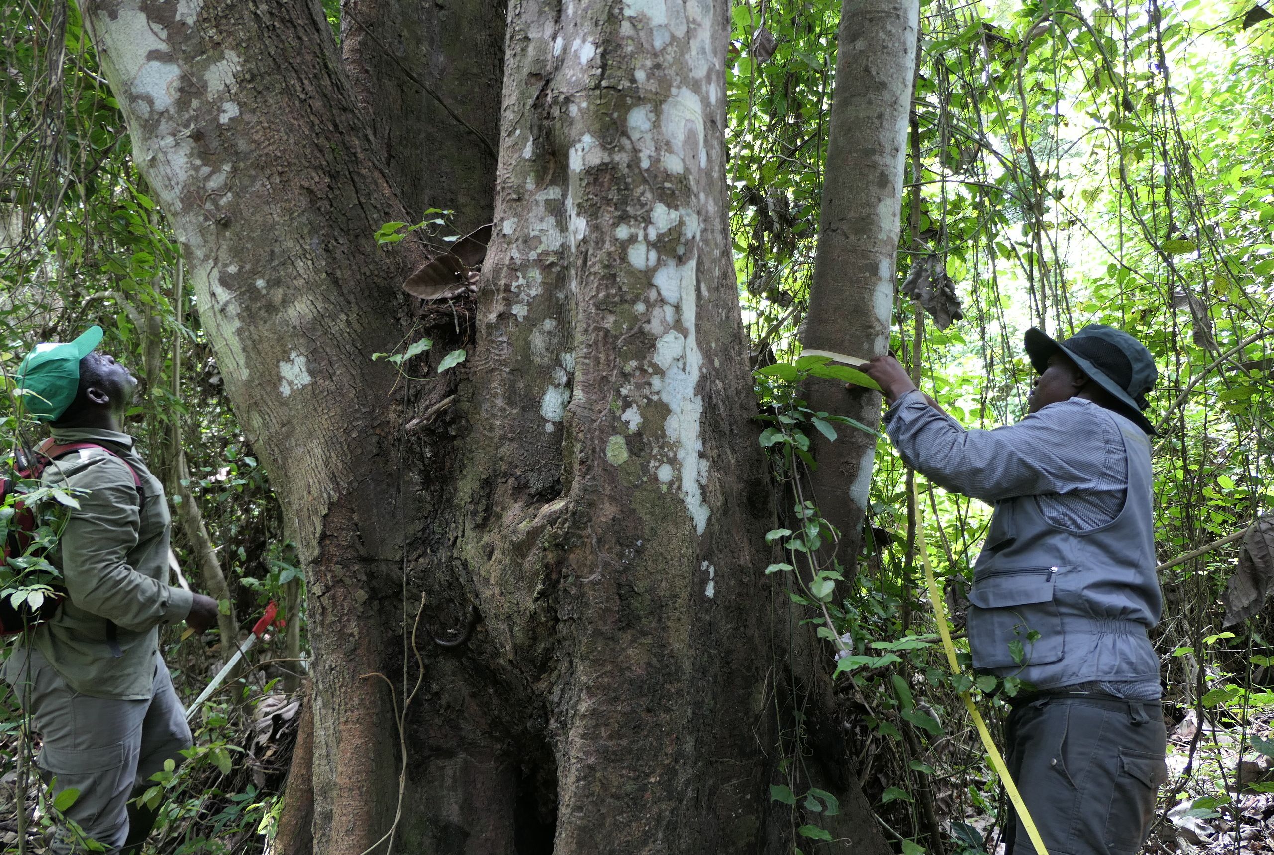
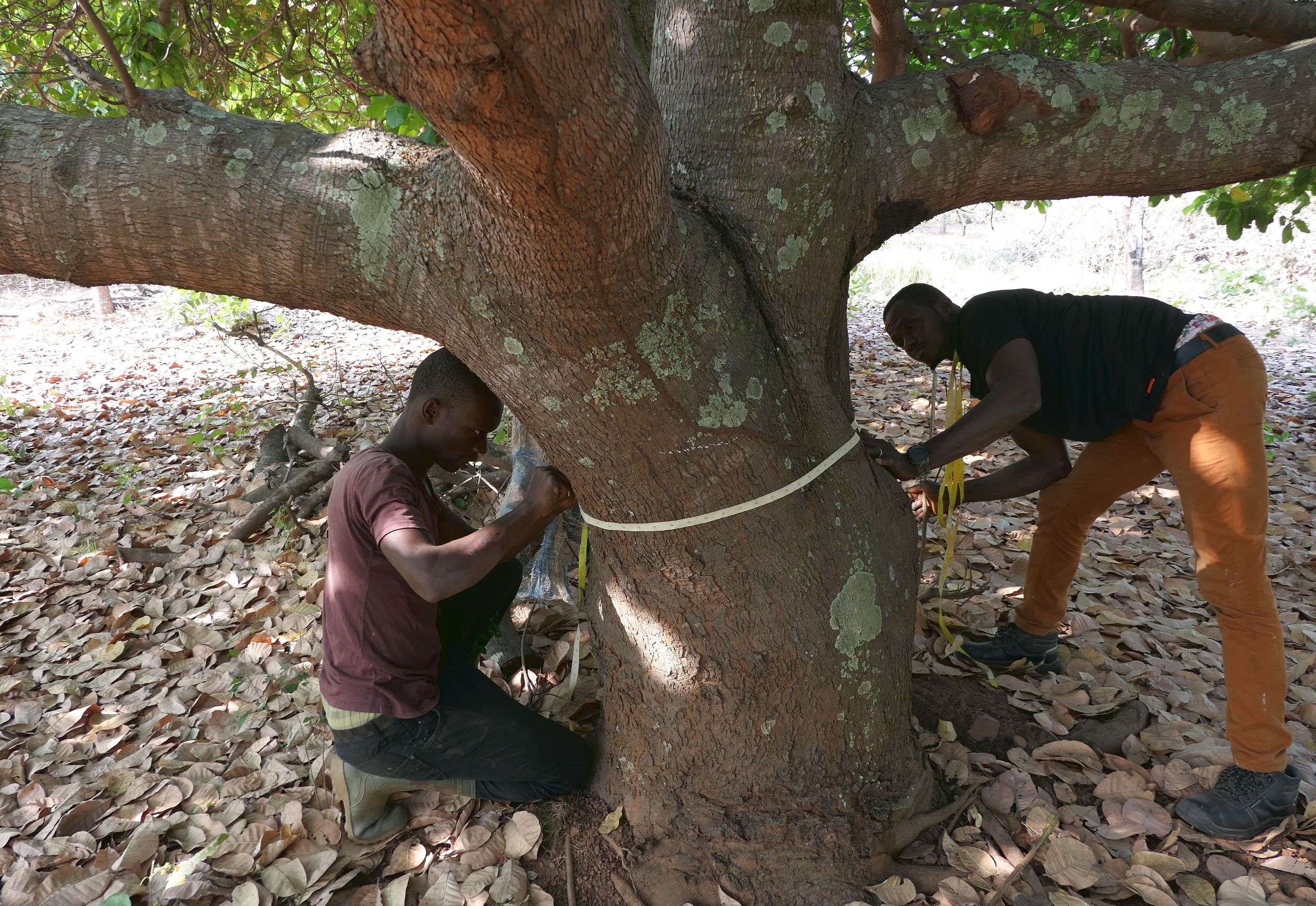
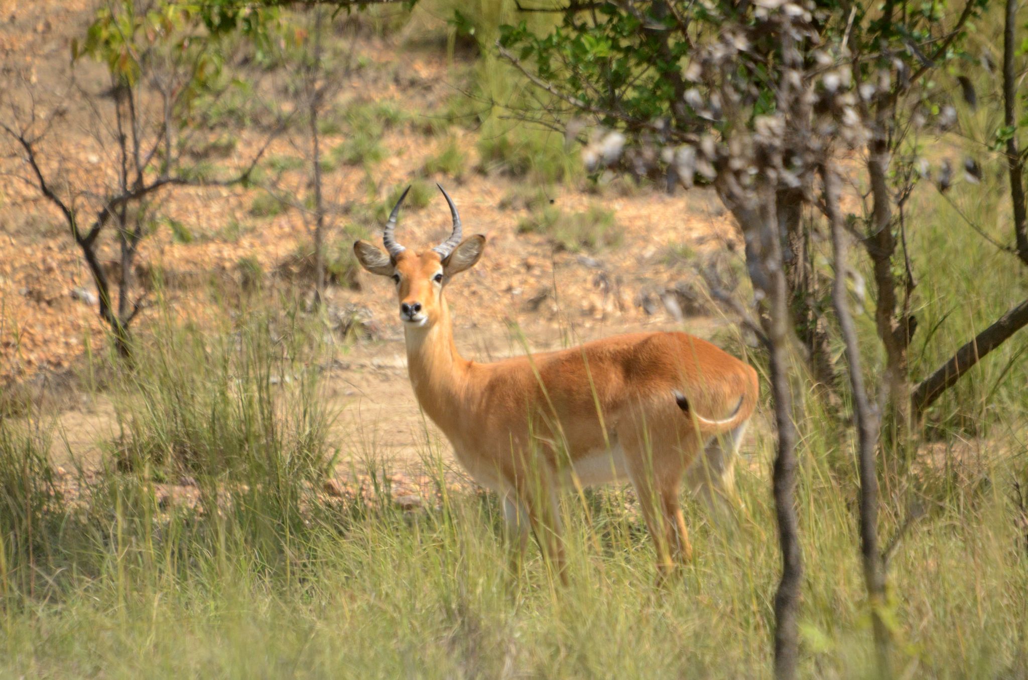
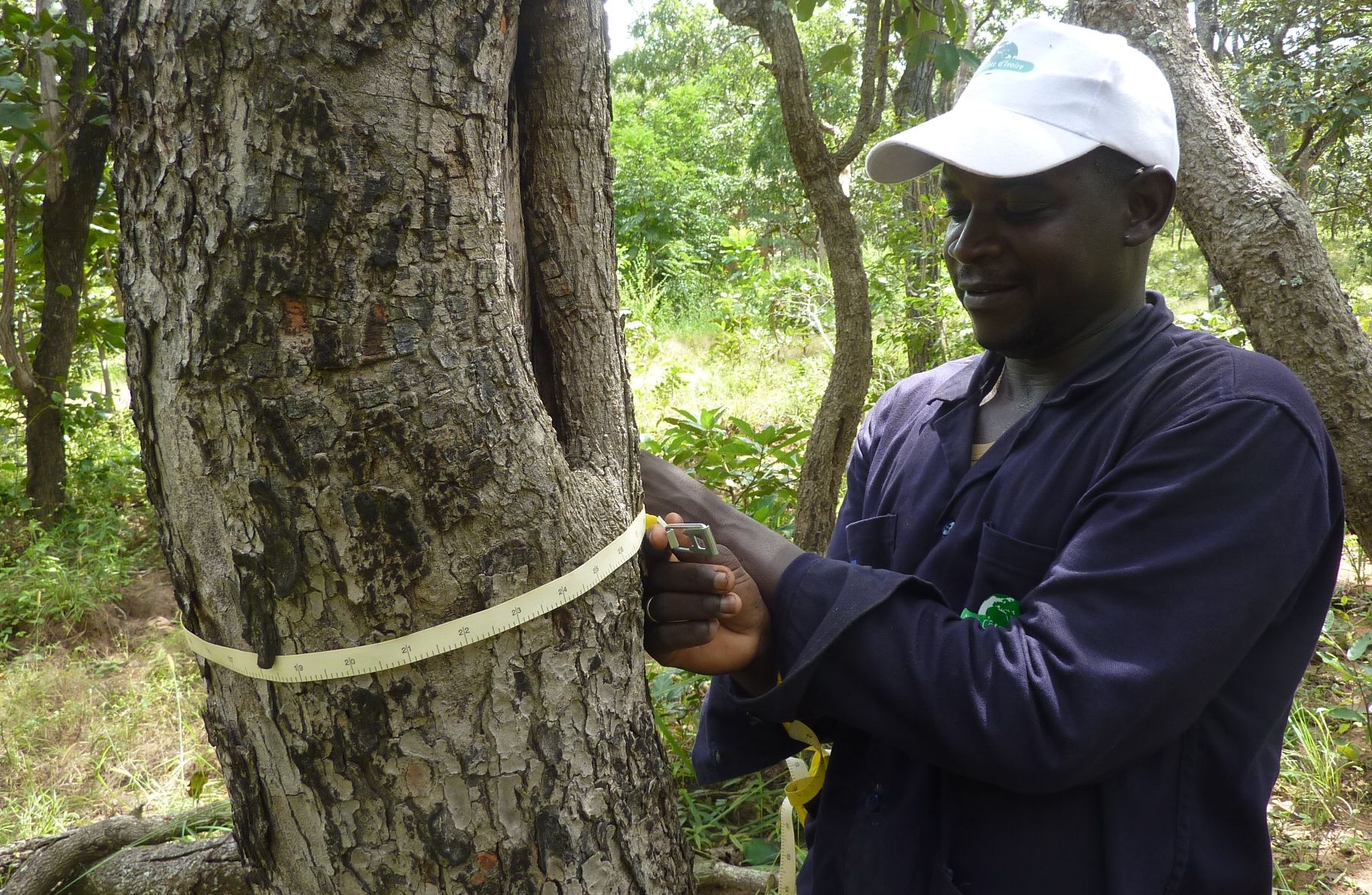
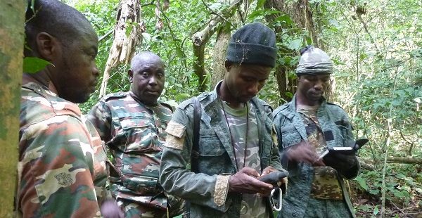
The results of the forest and wildlife inventory project, which took place in Ivory Coast from 2019 to 2021, will be Continue reading
In January 2021 the Franco-Burundian consortium IGN FI/ GEOFIT/ LADEC was awarded the project “Support for implementation of the land certification sub-component Continue reading
The project “Land Use, Land Cover and Land Suitability Spatial Analysis to Support Integrated Landscape Management in the Implementation of Tora Continue reading
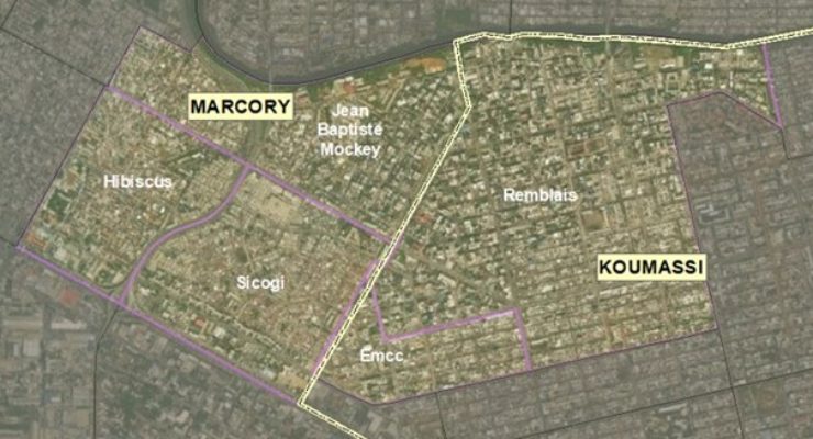
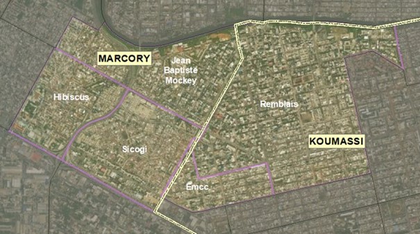
Following validation of the approach developed during the test phase, technical operations are under way in zone 1 (Koumassi, Marcory, Treichville Continue reading
Sorry, this entry is only available in French. For the sake of viewer convenience, the content is shown below in the Continue reading
The Abidjan District Address System Project (PADA) kicked off last July, and operations in a test zone in August allowed the Continue reading

Every three months IGN Magazine brings you the latest news from IGN plus in-depth reports providing insights into the world of Continue reading
In the framework of the Simplification and Digital Transformation of Urban Land Administration Project (SIGFU), on Thursday Minister Bruno KONE paid Continue reading
The Abidjan District Address System Project (PADA) was launched by Prime Minister Patrick Achi on 16 December. The strategic importance of Continue reading

The project to implement an Integrated Urban Land Management System in Greater Abidjan and Assinie (SIGFU) aims mainly to accelerate the Continue reading
The Government of Mozambique, with the support of the World Bank, has launched the Terra Segura Project in 2019. The main Continue reading
Sorry, this entry is only available in French. For the sake of viewer convenience, the content is shown below in the Continue reading
On 21 July 2021 the consortium IGN FI – GEOFIT and Défis & Stratégies launched project activities for the Abidjan District Continue reading
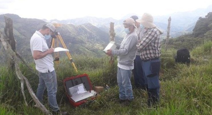
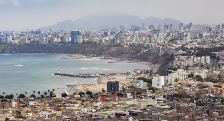
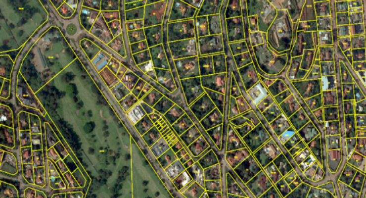
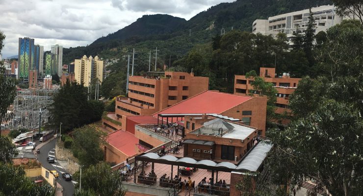
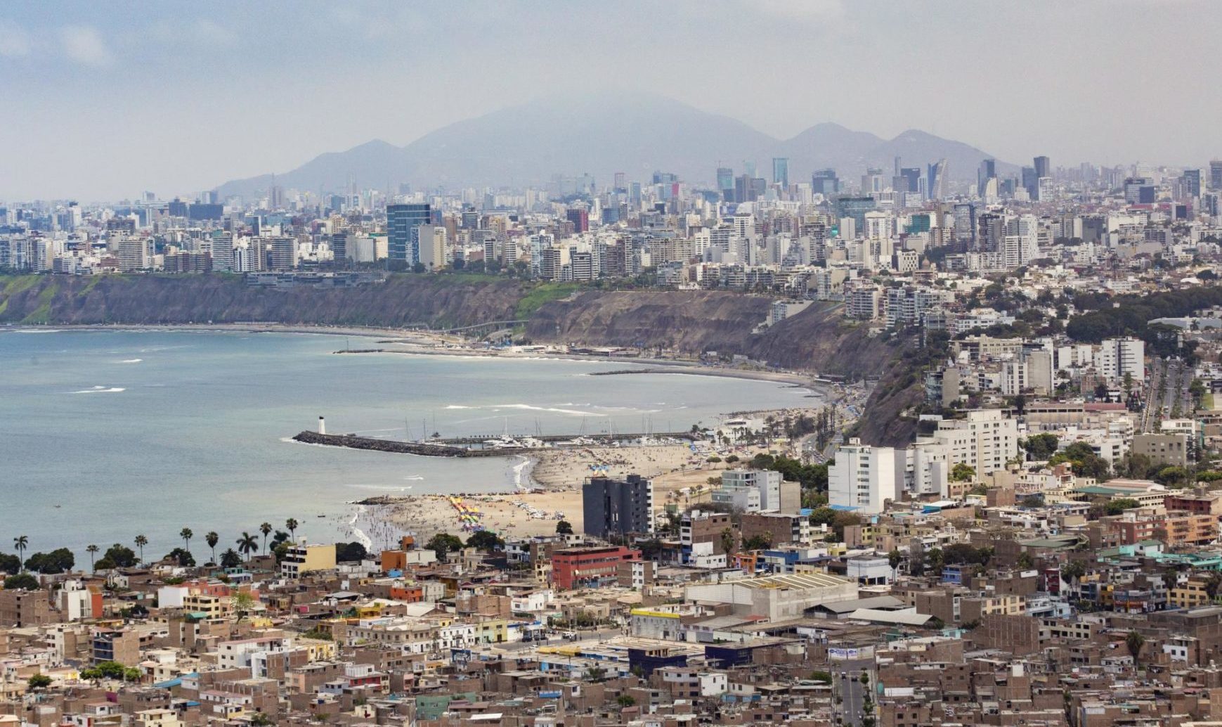
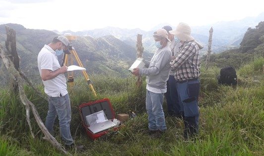
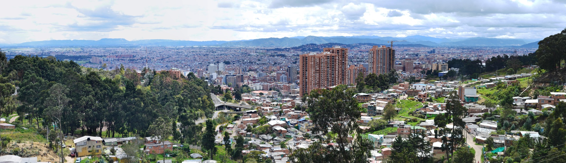
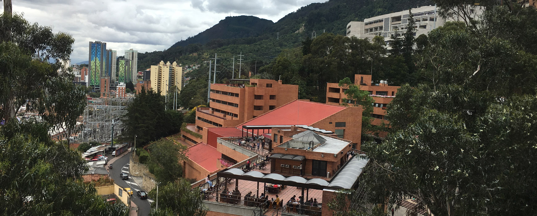
Colombia has funding from the World Bank for the project to implement a Multi-Purpose Land Registry for the country. An essential Continue reading

The Colombian economy has been experiencing a period of sustained growth ever since the conclusion of the peace agreements and the Continue reading
The Africa Forum is an annual event, organised by the Moci, BPI France and Challenges, that is entirely devoted to SMEs Continue reading

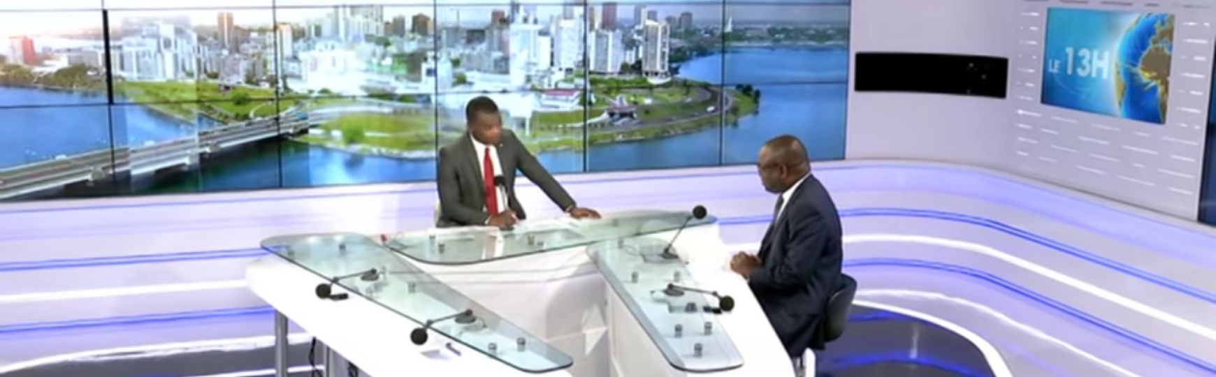
The Director for Modernisation and Simplification of Urban Land, Mr. Nassirou MBOW, was the guest on the RTI 1 p.m. TV Continue reading
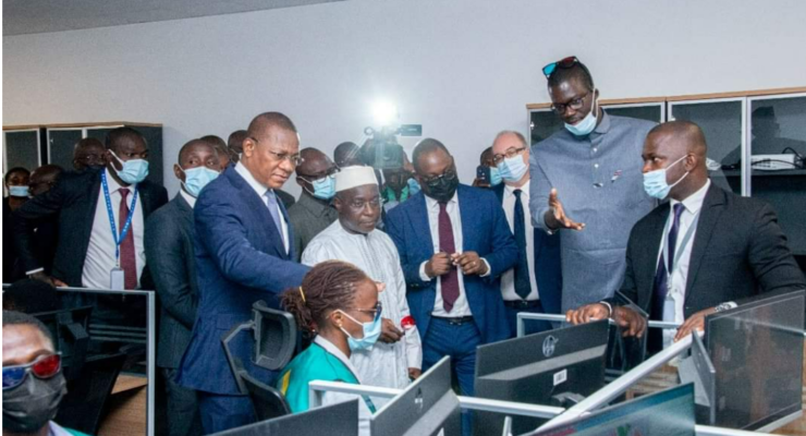
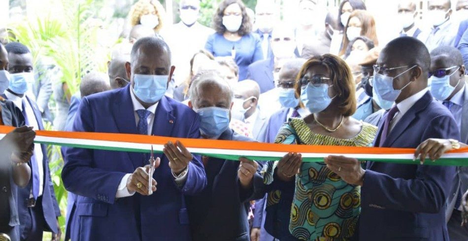
The Prime Minister inaugurated on 18 August the production centre of the project for the simplification and digital transformation of urban Continue reading
Every three months IGN Magazine brings you the latest news from IGN plus in-depth reports providing insights into the world of Continue reading

10/2021: Recruitment closed. The project to implement an Integrated Urban Land Management System in Greater Abidjan and Assinie (SIGFU) aims mainly Continue reading

10/2021: Recruitement closed. The project to implement an Integrated Urban Land Management System in Greater Abidjan and Assinie (SIGFU) aims mainly Continue reading
As part of the implementation of the Burundi Landscape Restoration and Resilience Project (PRRPB, in French), the IGNFI/GEOFIT-LADEC consortium held a Continue reading
Sorry, this entry is only available in French. For the sake of viewer convenience, the content is shown below in the Continue reading
12/2021: Recruitment closed The space industry in relation to the Earth Observation sector currently represents a market worth about 4 Continue reading
Sorry, this entry is only available in French. For the sake of viewer convenience, the content is shown below in the Continue reading
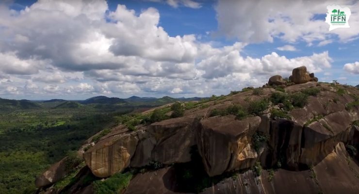
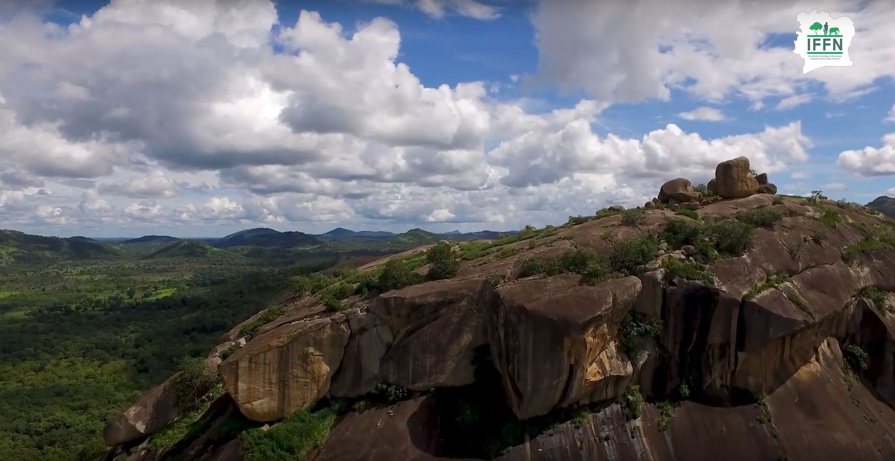
After two and a half years of operation and results presented on June 29th, the IFFN project is coming to an Continue reading
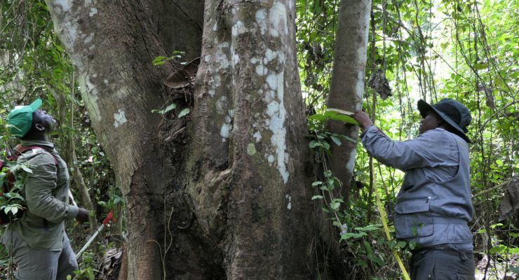
After two and a half years of the project, the Ivory Coast Forestry and Wildlife Inventory (IFFN) presented its results at Continue reading
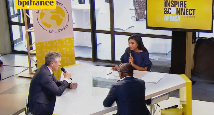
Inspire & Connect - Africa brought together over 600 participants, with 130 West African companies and 110 small, medium and intermediate-sized Continue reading
Every three months IGN Magazine brings you the latest news from IGN plus in-depth reports providing insights into the world of Continue reading
This ground-breaking operation will serve as a new model in the field of export credit: Bpifrance has just granted its first Continue reading
The press conference to mark completion of the IFFN data-gathering phase took place on Thursday 22 April at the Ministry for Continue reading
In October 2019, the IGN FI - BRLi consortium was awarded the regional contract to assess hazards, vulnerabilities and risks in the Continue reading
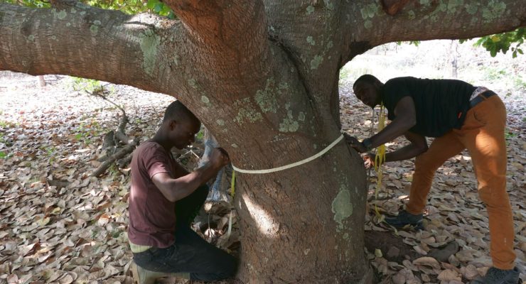
National Forest and Wildlife Inventory (IFFN): the inventory phase is completed. The data processing and analysis phase has begun. At the Continue reading
Every three months IGN Magazine brings you the latest news from IGN plus in-depth reports providing insights into the world of Continue reading
In October 2019 the IGN FI / BRLi consortium was awarded a regional contract to assess hazards, vulnerabilities and risks in Continue reading
A ceremony was held at the beginning of February to hand over the city plans to the Ministry of Spatial Planning Continue reading
The National Forest and Wildlife Inventory (IFFN) project, which started in January 2019, saw its field operations begin in October 2019. Continue reading
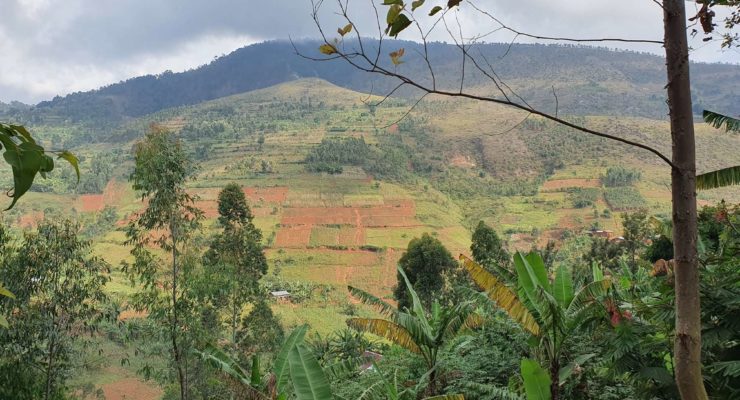
Burundi, which is part of the "Bonn Challenge" (restoring 150 million hectares of degraded and deforested land by 2020, and 350 Continue reading
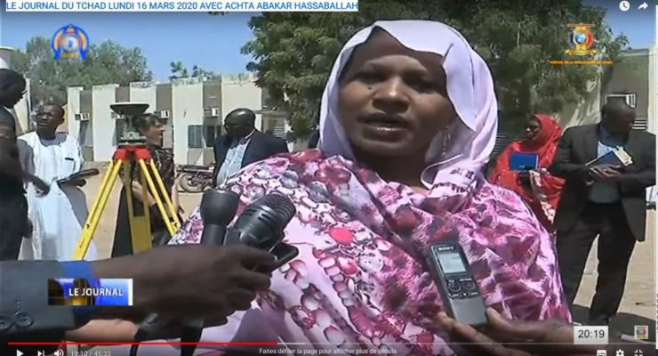
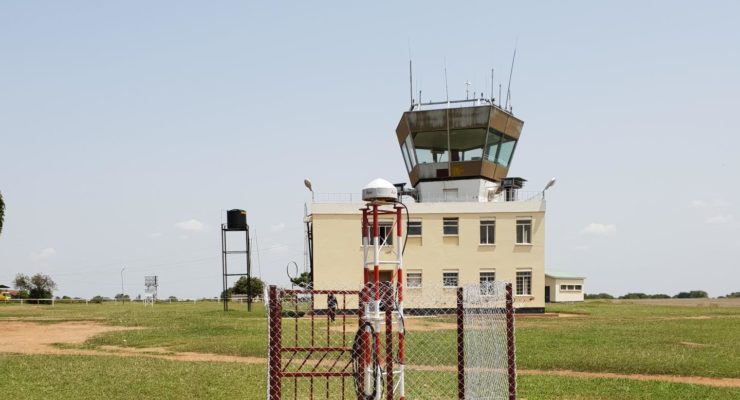
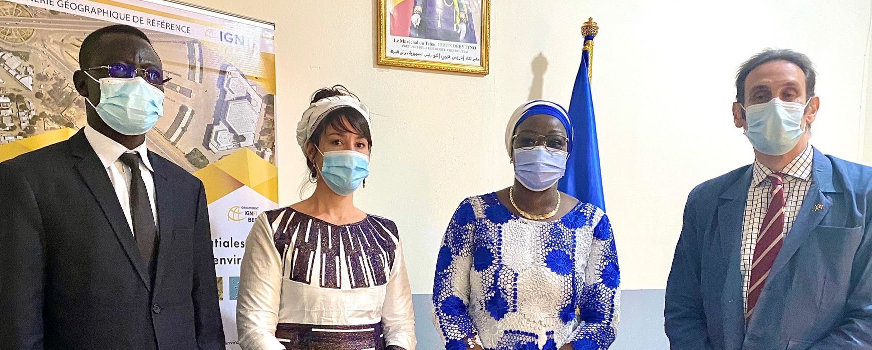
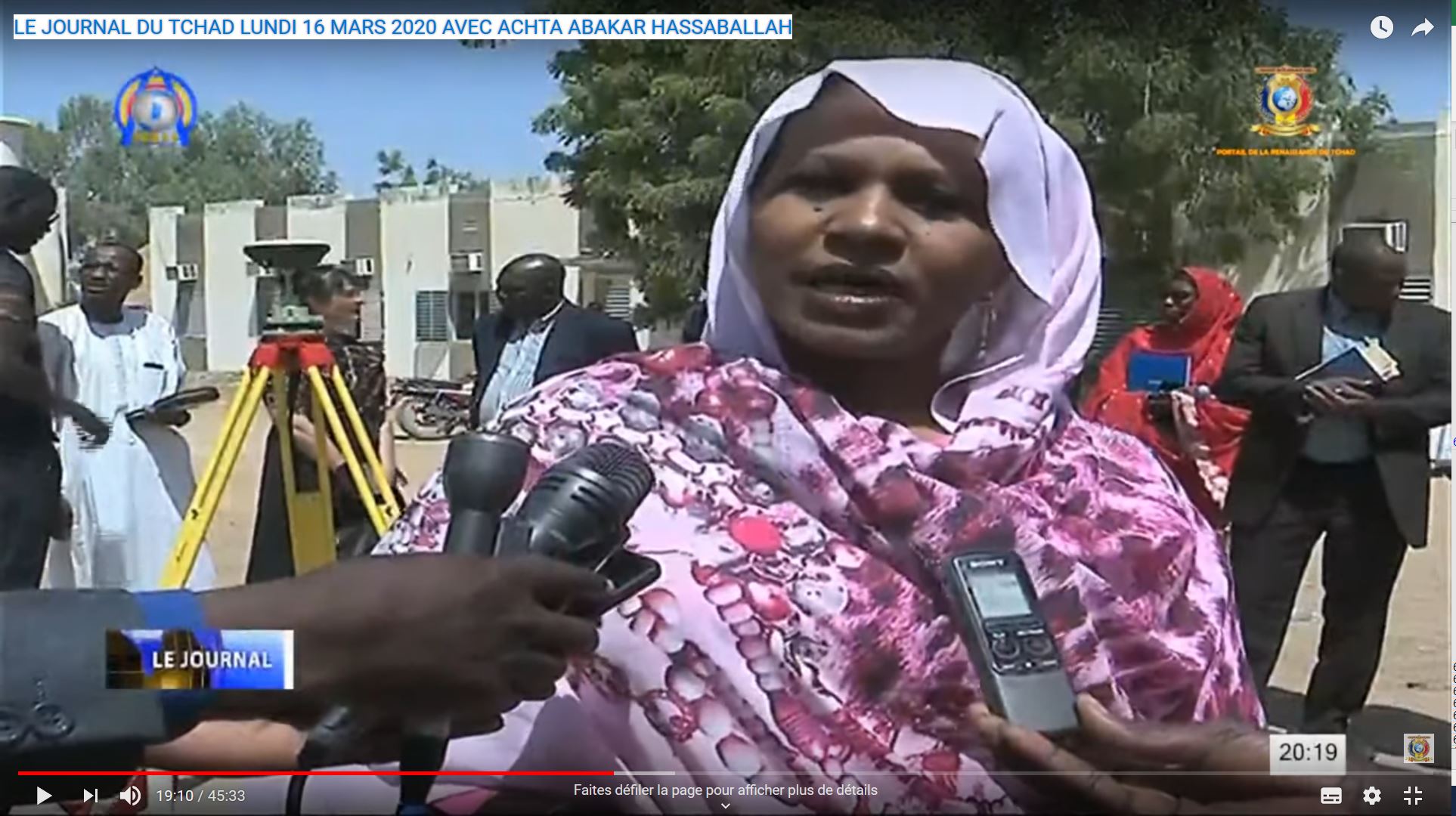
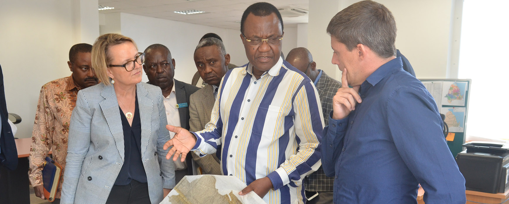
The Minister of Spatial Planning, Housing Development and Town Planning inaugurated Chad’s first geodetic pillar on 16 March 2020. The new Continue reading
IGN FI and the GEOFIT Group have taken a number of measures both to protect the health and well-being of the staff Continue reading
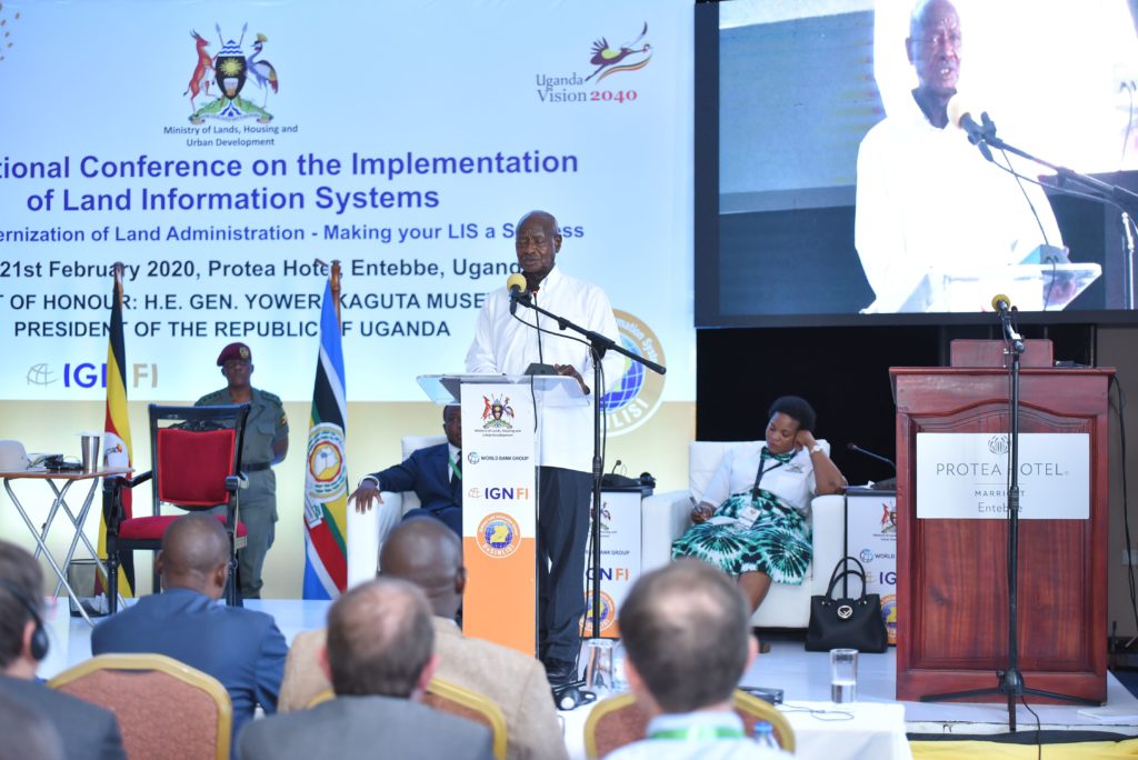
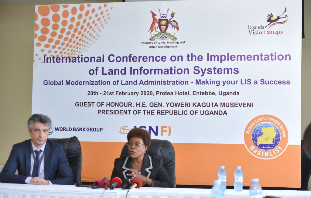

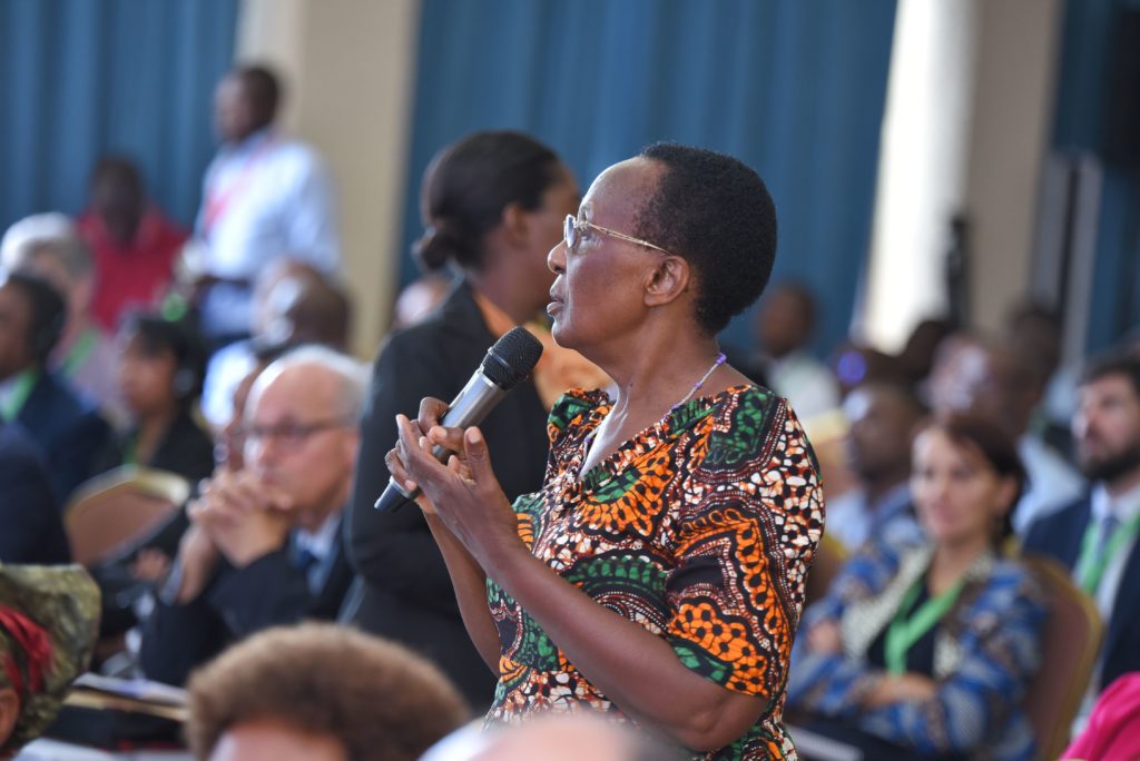
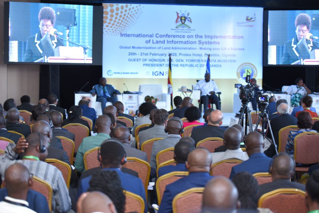
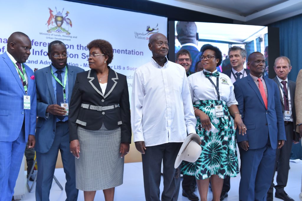
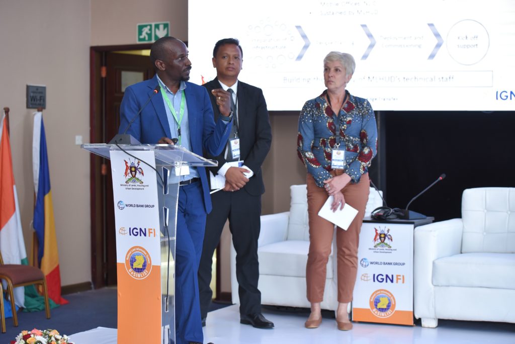
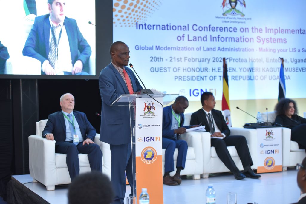
The international seminar held in Entebbe to mark the conclusion of the LIS project took place on 20 and 21 February. Continue reading
After training the SODEFOR, OIPR and ANADER teams from September to November 2019, the ONF Ivory Coast has been providing support Continue reading
Between 2010 and 2014 IGN FI carried out the design, supply and installation of a Land Information System (LIS) for 6 decentralised Continue reading
Ivory Coast has faced difficulties in administering property rights for many years. Manual processing of requests and complex procedures have been Continue reading
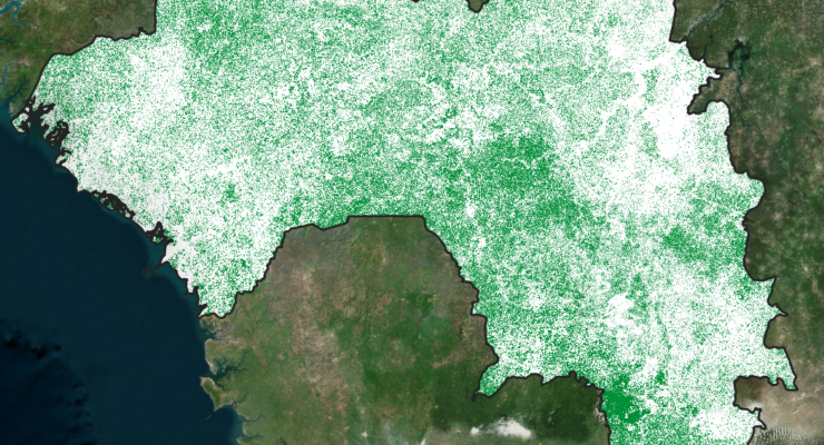
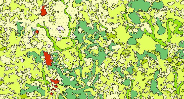
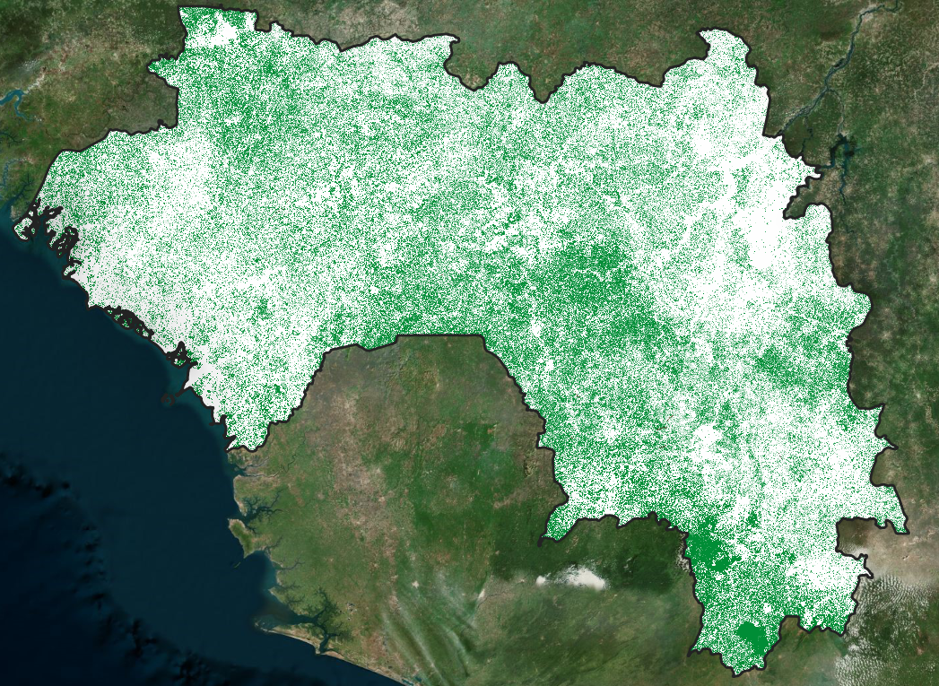
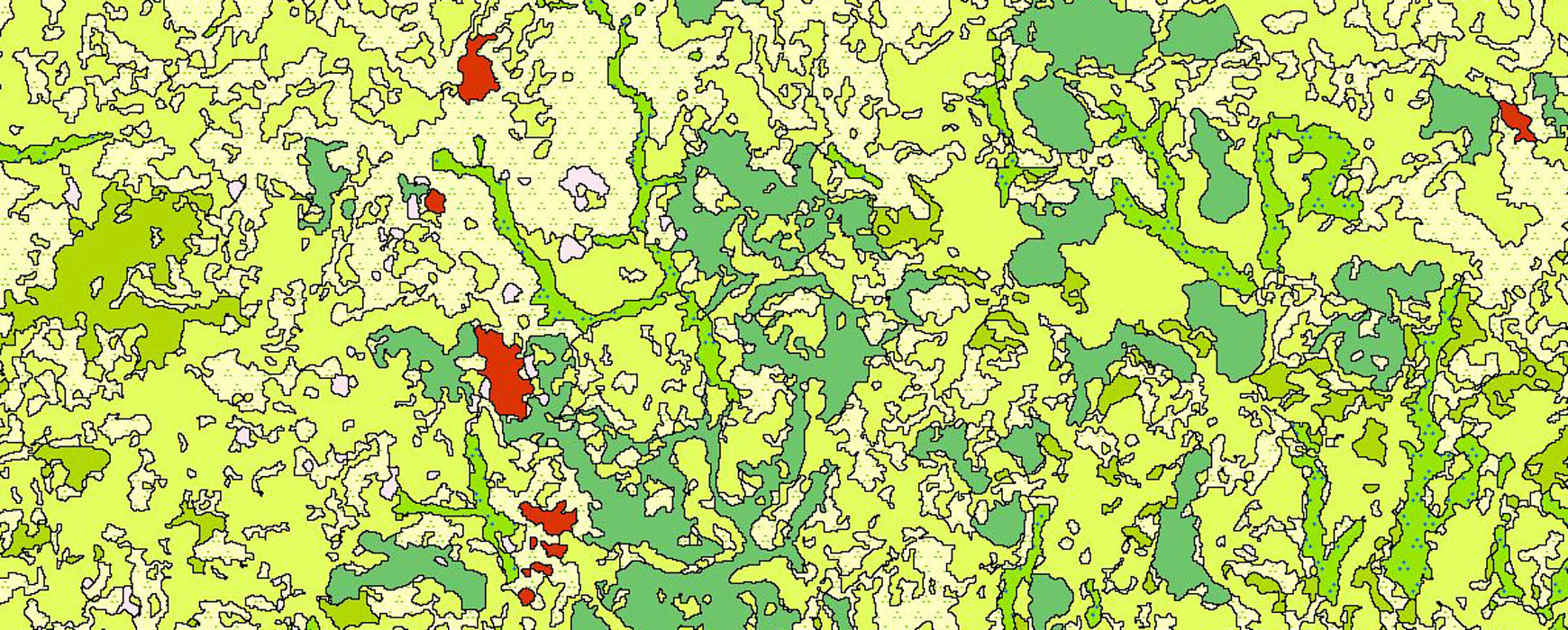
The agro-ecological zoning of Guinea (ZAEG) project is currently mapping land cover and its evolution over 10 years. Funded by AFD Continue reading
The Republic of Uganda received financing from the World Bank through the Competitiveness and Enterprise Development Project (CEDP). The Land Component Continue reading
The presentation meeting for the project “Creating an exhaustive list of localities eligible to receive the Universal Electronic Communications Service in Continue reading
The IFFN project, led by ONF International in a joint venture with the IGN and IGN FI, officially kicked off in January Continue reading
The IGN FI/ BRLi consortium has been awarded the regional contract to assess hazards, vulnerabilities and risks in the Member States Continue reading
A consortium made up of IGN FI/ GEOFIT/ GEODESIGN & BIZ has been awarded the delegated project management contract in Cameroon Continue reading
The Asian Development Bank (ADB) held a conference on “Property Tax Reform and Domestic Resource Mobilization in Asia and the Pacific Continue reading
At the beginning of January 2019, Ivory Coast officially launched its National Forest and Wildlife Inventory (IFFN), and presented it at Continue reading
The OSFACO project that aims to improve knowledge of past and present dynamics in terms of land use and land use Continue reading
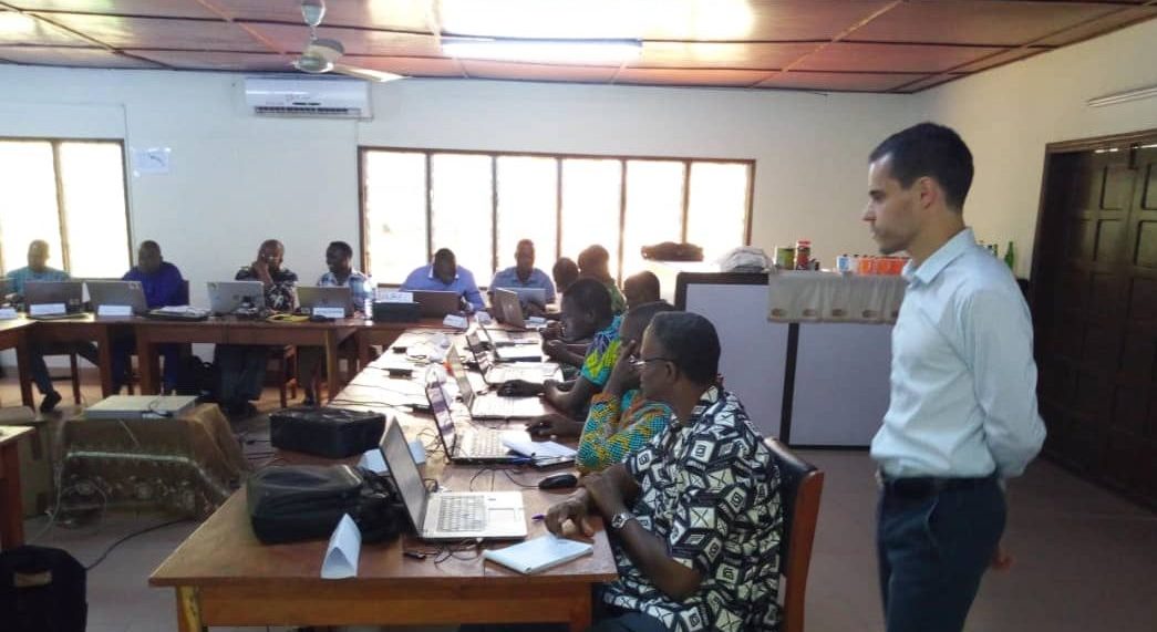
A workshop entitled "UGRF: The new Ugandan GNSS CORS network" was held in Jinja, in the south east of Uganda, on 24 May, in order to Continue reading
African borders will be in the limelight this Friday, 7 June, on African Borders Day. The aim of this day, which Continue reading

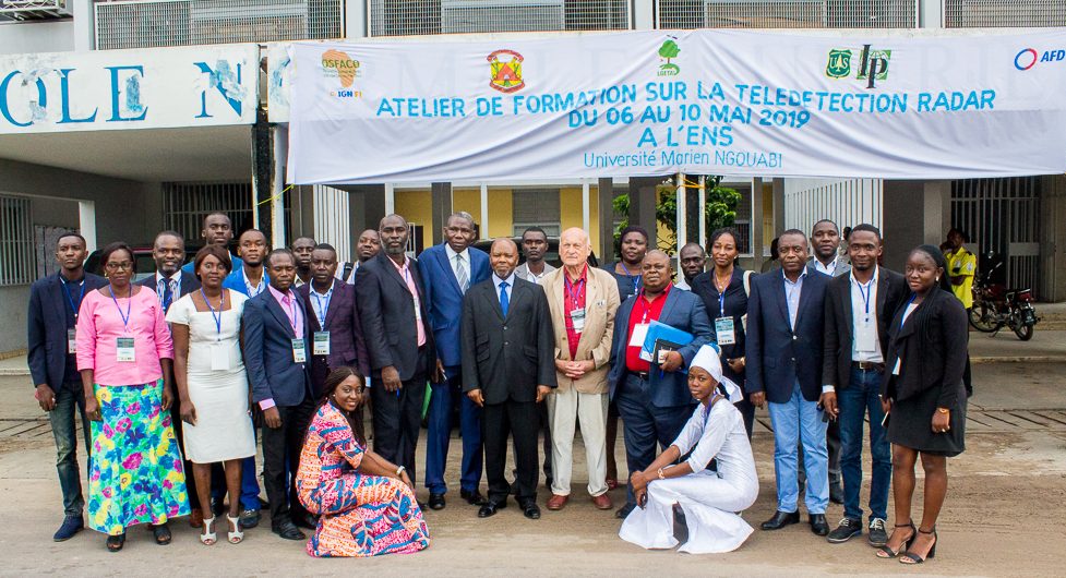
As part of the development of national expertise in the field of forest monitoring, the Marien N'GOUABI University of Brazzaville organizes Continue reading
An international consortium of public agencies: the British Geological Survey (U.K.); IHCantabria (Spain) and Geological Survey Ireland (Ireland) and companies: ARGANS Continue reading
The company grouping made up of IGN FI/ PROGRESYS/ INC has been selected to create an exhaustive list of localities throughout Gabon Continue reading
In October 2014 IGN FI was awarded a contract to carry out digital mapping of the entire country of Benin at Continue reading
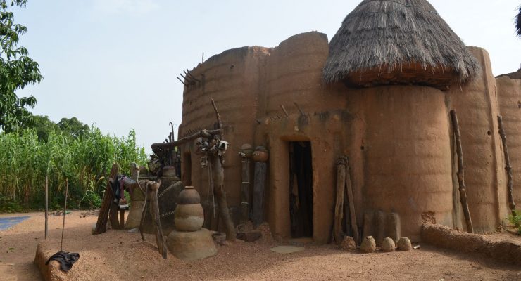
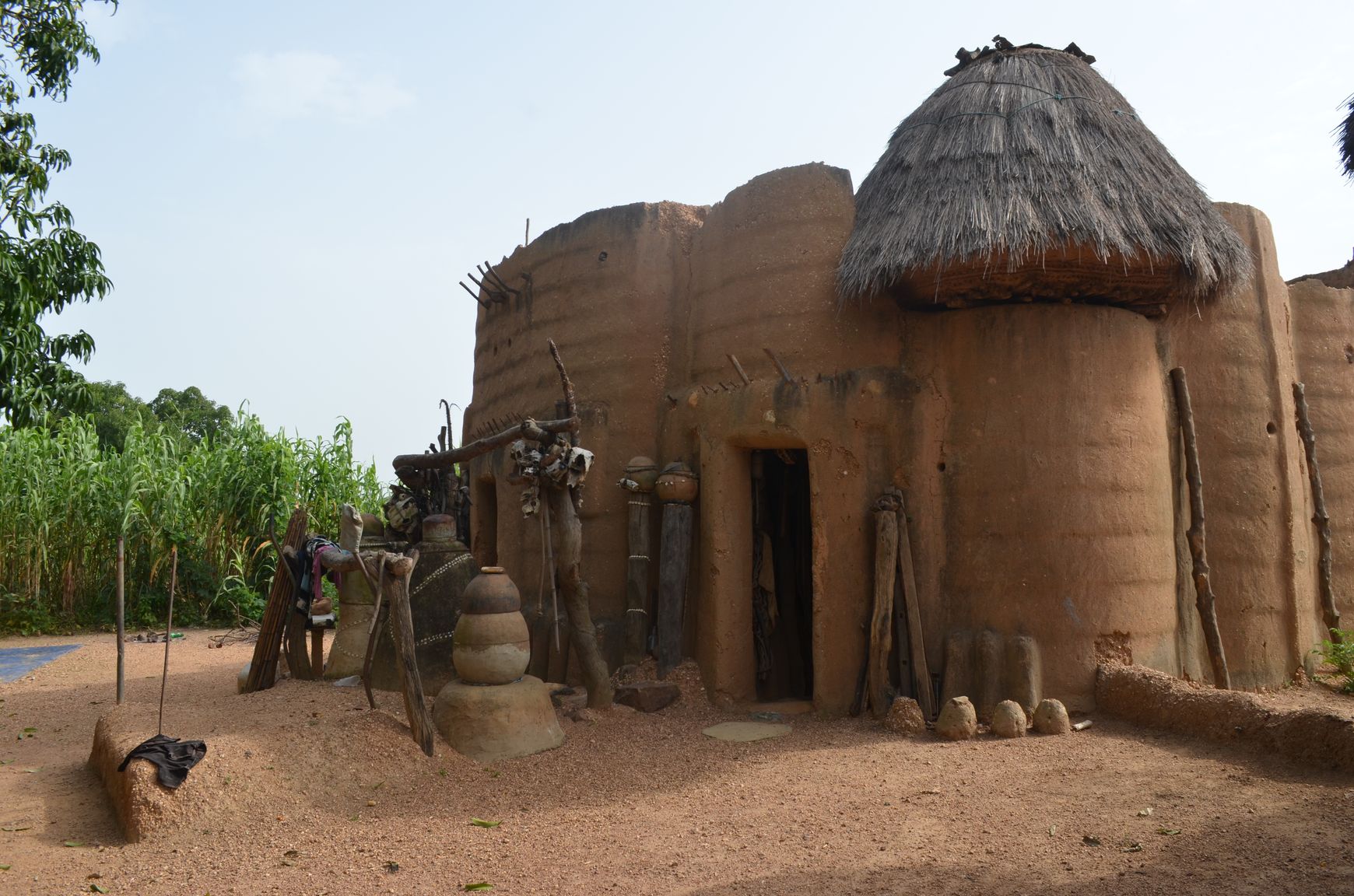
The French Institute in Benin is organising an exhibition devoted to the Tatas, the remarkable architectural heritage of North Benin, from Continue reading
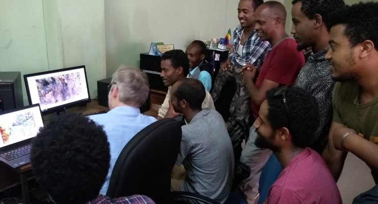
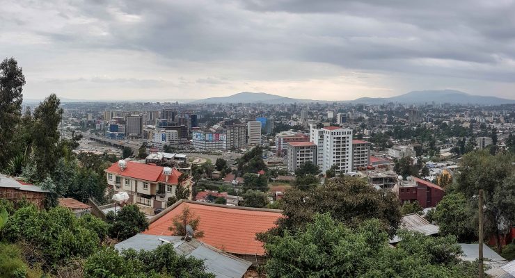
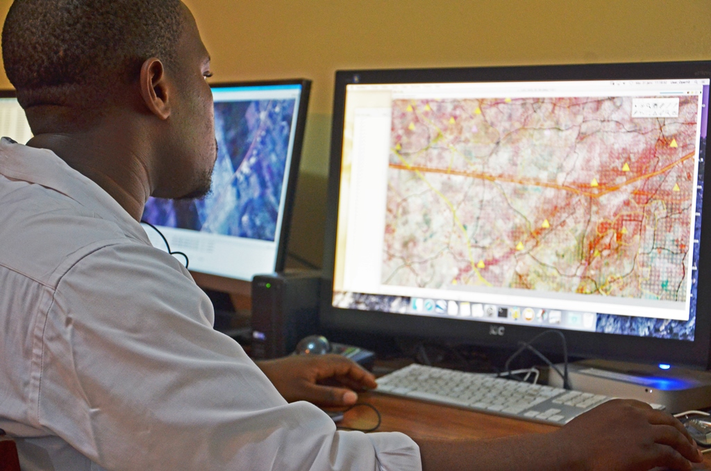
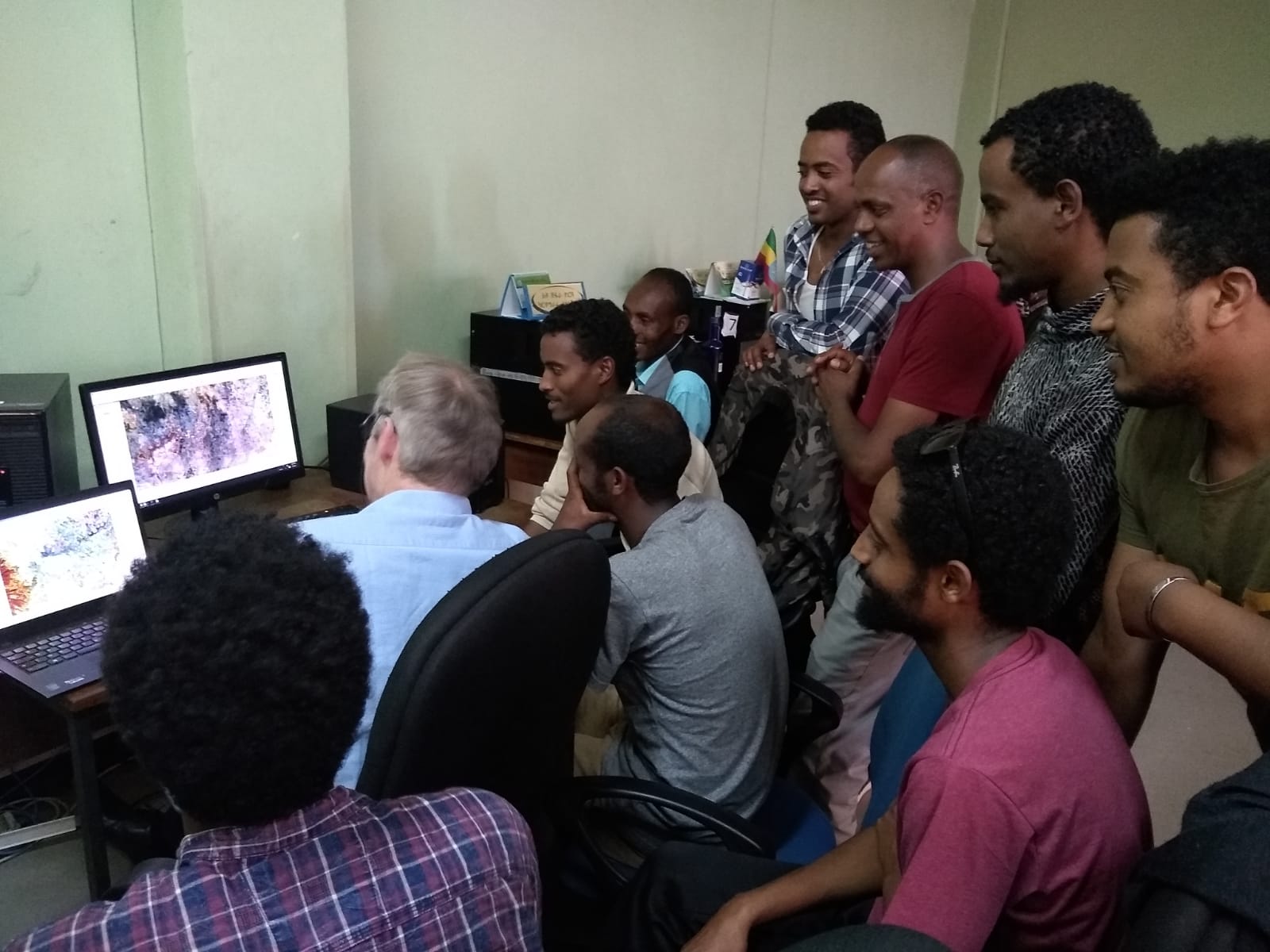
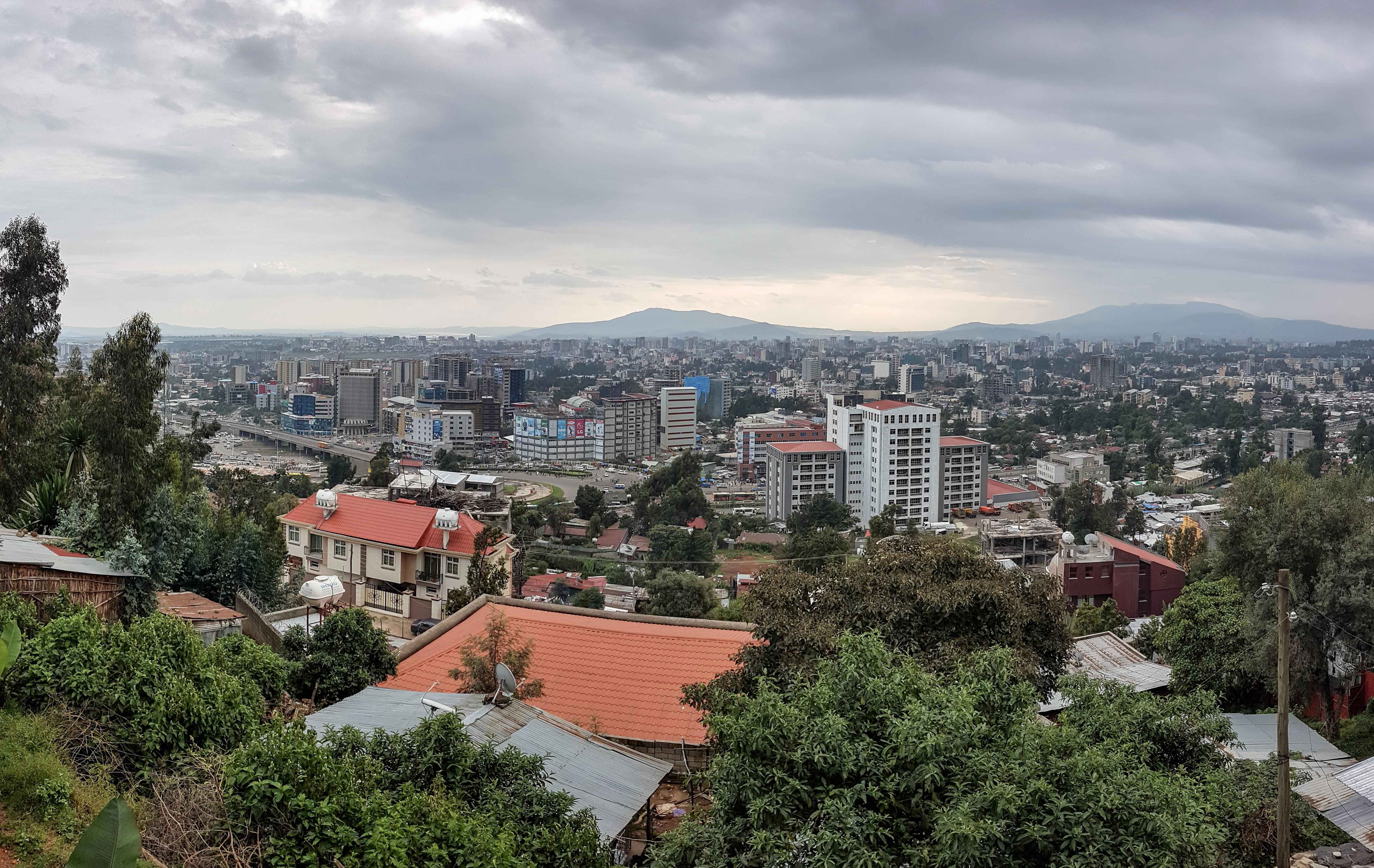
IGN FI travelled to Addis Ababa to give a training course to the Ethiopian Geospatial Information Institute (EGII) teams on how remote Continue reading
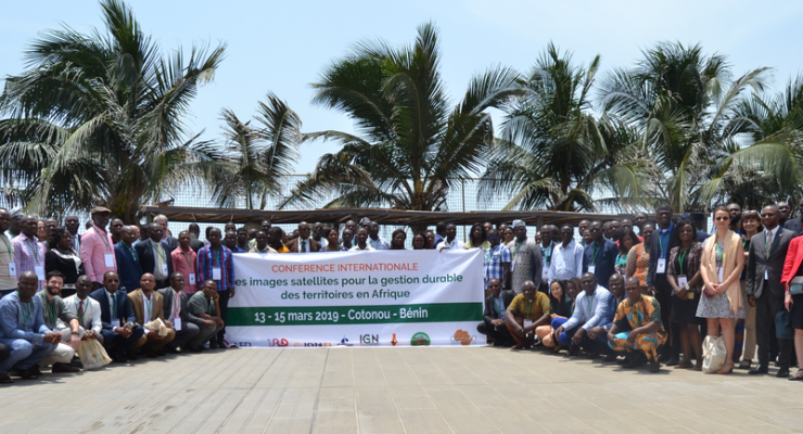
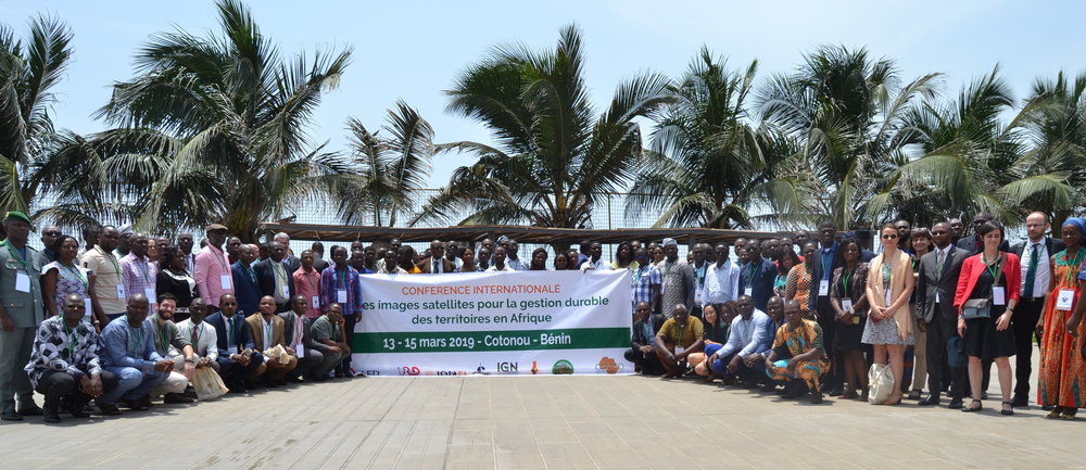
An International Conference on the use of Satellite imagery for sustainable management of territories in Africa took place from 13 to Continue reading
The 7th edition of the largest international meeting of Africa’s private sector, the Africa CEO Forum, will be held on March Continue reading
IGN FI will once again be attending the 20th Annual Conference of the World Bank, which is on the theme of Land Continue reading

IGN FI was part of the French delegation that made the trip from 12 to 15 March to Kenya and Ethiopia on Continue reading
The kick-off meeting for the Forest and Wildlife Inventory took place on Tuesday 5 March 2019, attended by the Minister for Continue reading
The contract for the development of the new Land Registry software for the Registrar General's Department (RGD), the Property Business Continue reading

IGN FI will be attending the Shield Africa International Security and Defense Exhibition in Abidjan from 21 to 24 January 2019. The Continue reading
As part of production of around 12,000 topographic maps of the whole Kingdom of Saudi Arabia (around 2 million square km), Continue reading
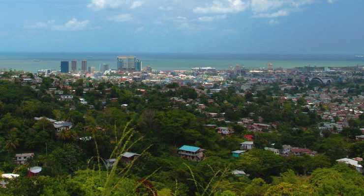
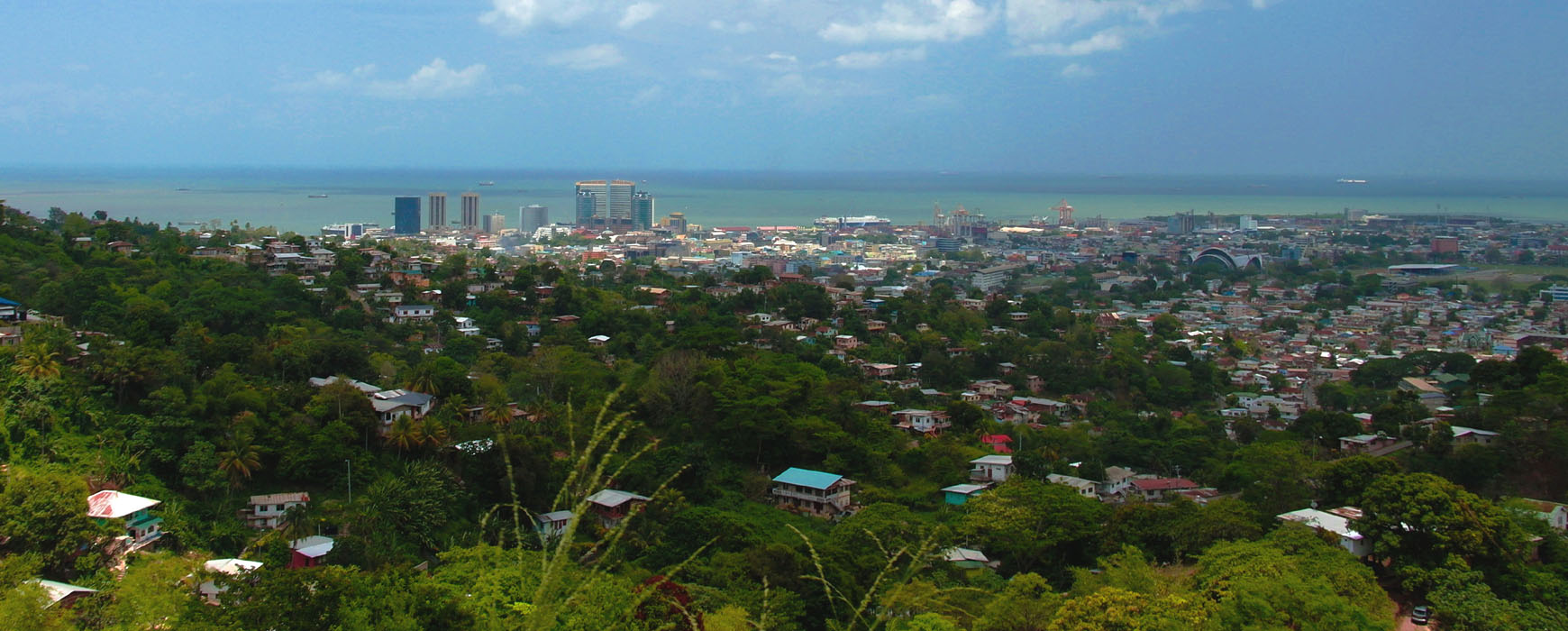
On 30 November, the Ministry of the Attorney General and Legal Affairs (AGLA) of Trinidad and Tobago signed a contract with Continue reading

On 16 July 2018, the Integrated Land Management Information System (ILMIS) was implemented at the Ministry of Lands, Housing and Human Continue reading
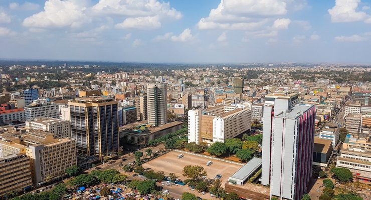
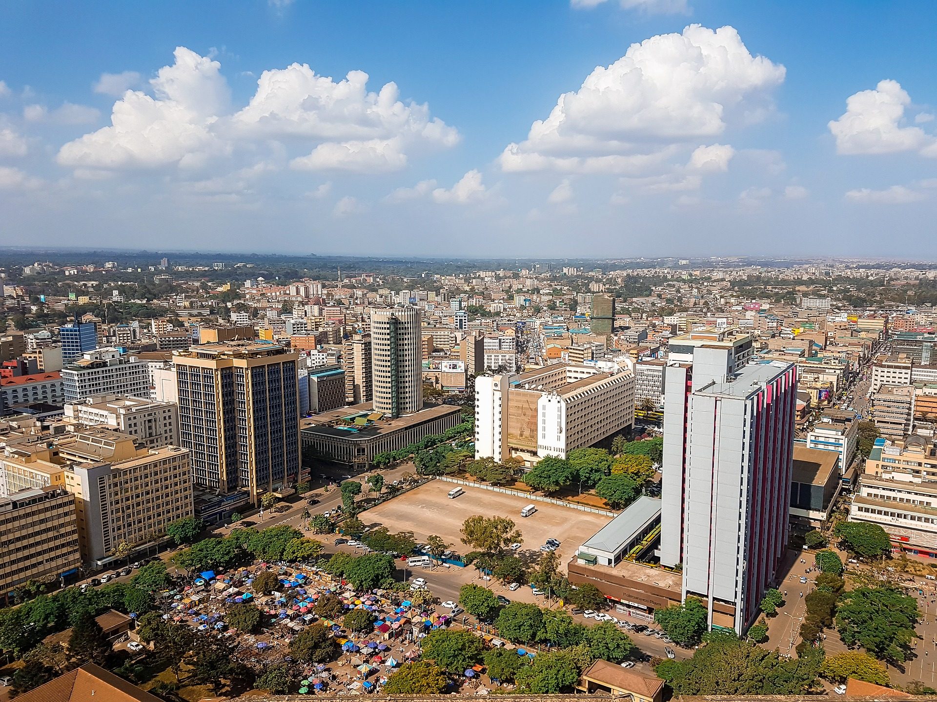
IGN FI participated in the seminar organised by the French Embassy on urban development. The event was held in Nairobi on Continue reading
France has provided SPOT 6 and 7 satellite images to central African countries as well as some Western African countries, Continue reading
IGN FI will attend the 19th Annual World Bank Conference on Land and Poverty that will be held March 19 - Continue reading
In the framework of the land administration modernization in Ivory Coast and with the strong will of the government to improve Continue reading
Conception of integral methodology to carry out urban and rural multi-purpose cadastre in La Mojana region (Colombia). These last years Colombia Continue reading
At the occasion of the workshop that took place in Dar Es Salaam, November 28th, the Minister in charge of land Continue reading

Sorry, this entry is only available in French. For the sake of viewer convenience, the content is shown below in the Continue reading
After a very positive feedback that followed the first reunion of the regional monitoring committee of the OSFACO project in February Continue reading
Wednesday 11 October, CNES, IGN FI and the Ethiopian Mapping Agency (EMA) signed a cooperation agreement in Addis Ababa to provide EMA Continue reading
In September 2014, the IGN FI/ IGN France/ Geomark international Consortium was awarded a contract for supervising the implementation of the Continue reading
The PAPDFGC, a project to support the preservation and development of gallery forests and production of the digital base map, was Continue reading
In 2014, the international consortium IGN FI/ IGN France/ Geomark was contracted to supervise and assist technically the Ethiopian Ministry of Continue reading
The consortium headed up by IGN FI was awarded Lot 2 of the Global Land High Resolution Hot Spot Monitoring European Continue reading
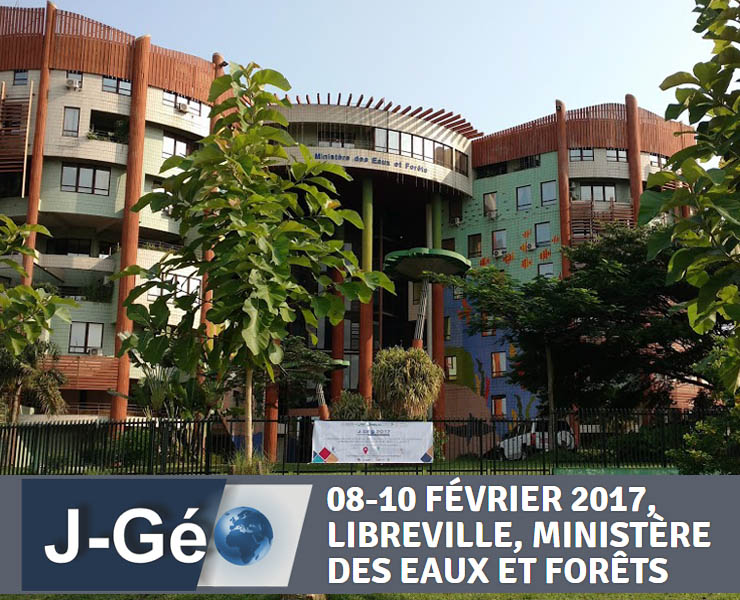
At the occasion of the geomatic days that took place in Libreville (Gabon) in February 2017, AGEOS, the Gabonese Agency for Continue reading
The OSFACO project (Satellite remote sensing of forests in Western and Central Africa) started in April 2016 for 3 years, and Continue reading

The Lira Ministry Zonal Office (MZO) was officially inaugurated on the 2nd of February 2017 in the presence of H.E Gen. Continue reading
Sorry, this entry is only available in French. For the sake of viewer convenience, the content is shown below in the Continue reading
In December 2016, IGN FI was awarded a tender on the supervision of the development of a forest management system in Continue reading

Chaired by the General Secretary of Mali’s Ministry for Equipment, Transport and Development, a representative of the European Union delegation in Continue reading