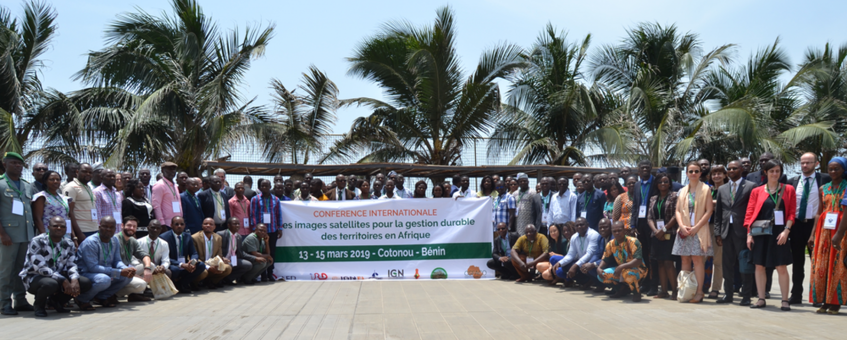
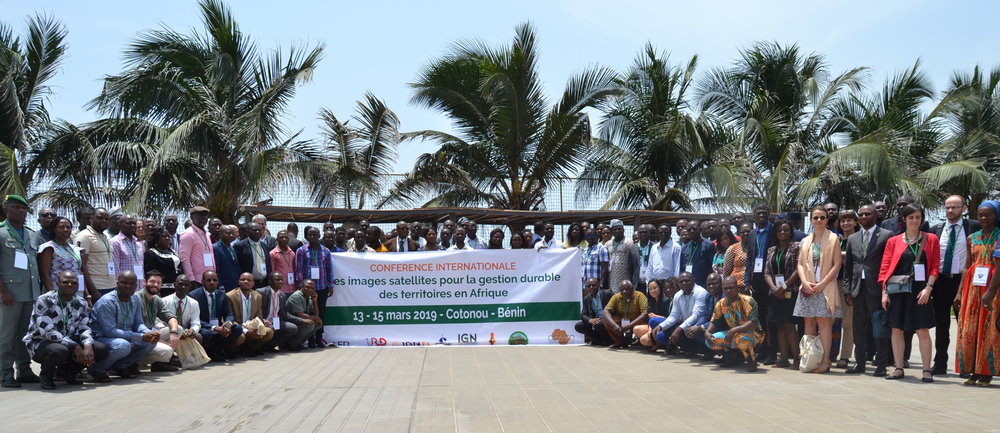
An International Conference on the use of Satellite imagery for sustainable management of territories in Africa took place from 13 to 15 March in Cotonou, Benin, organised by IGN FI and IRD as part of the OSFACO project. This event was attended by representatives of the AFD, the French Embassy, the UNDP and the European Union, and more than 150 participants from 12 African countries.
In the opening session, a joint presentation of the OSFACO project was made by IGN FI and IRD, in order to recall the challenges and the activities carried out by the project in the different beneficiary countries. A comprehensive presentation of the project of creation of the Benin’s National base map was also made both by IGN FI and IGN Benin. This project funded by UNDP, the European Union and the Beninese State has recently ended.
Among other communications on remote sensing applications, the project of agro-ecological zoning of Guinea, currently led by IGN FI, was also presented.
In parallel with the conference, trainings courses were provided by IGN FI experts on optical and radar remote sensing.
For more details on the conference, see the special issue of the OSFACO Newsletter.