
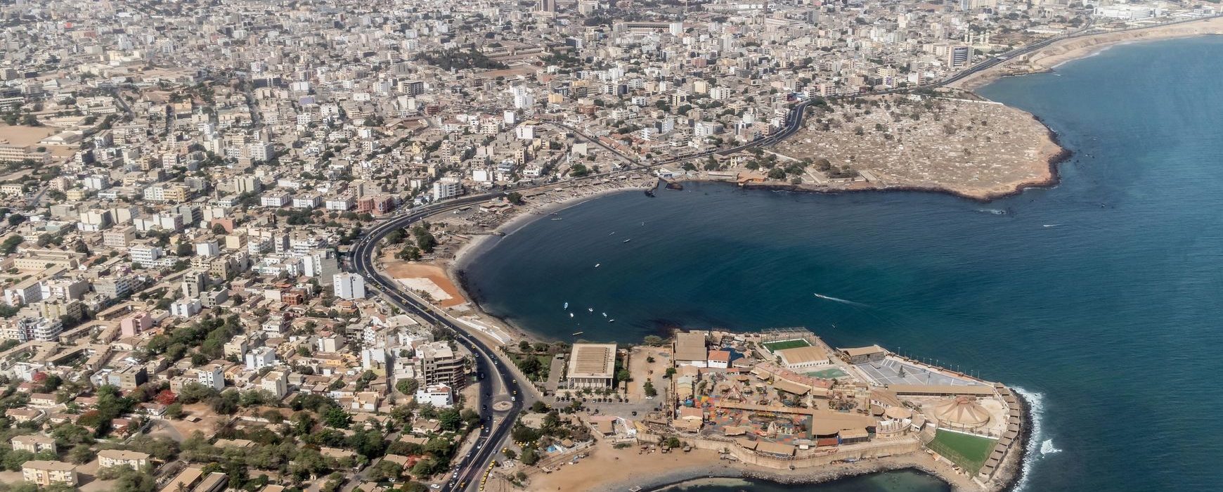
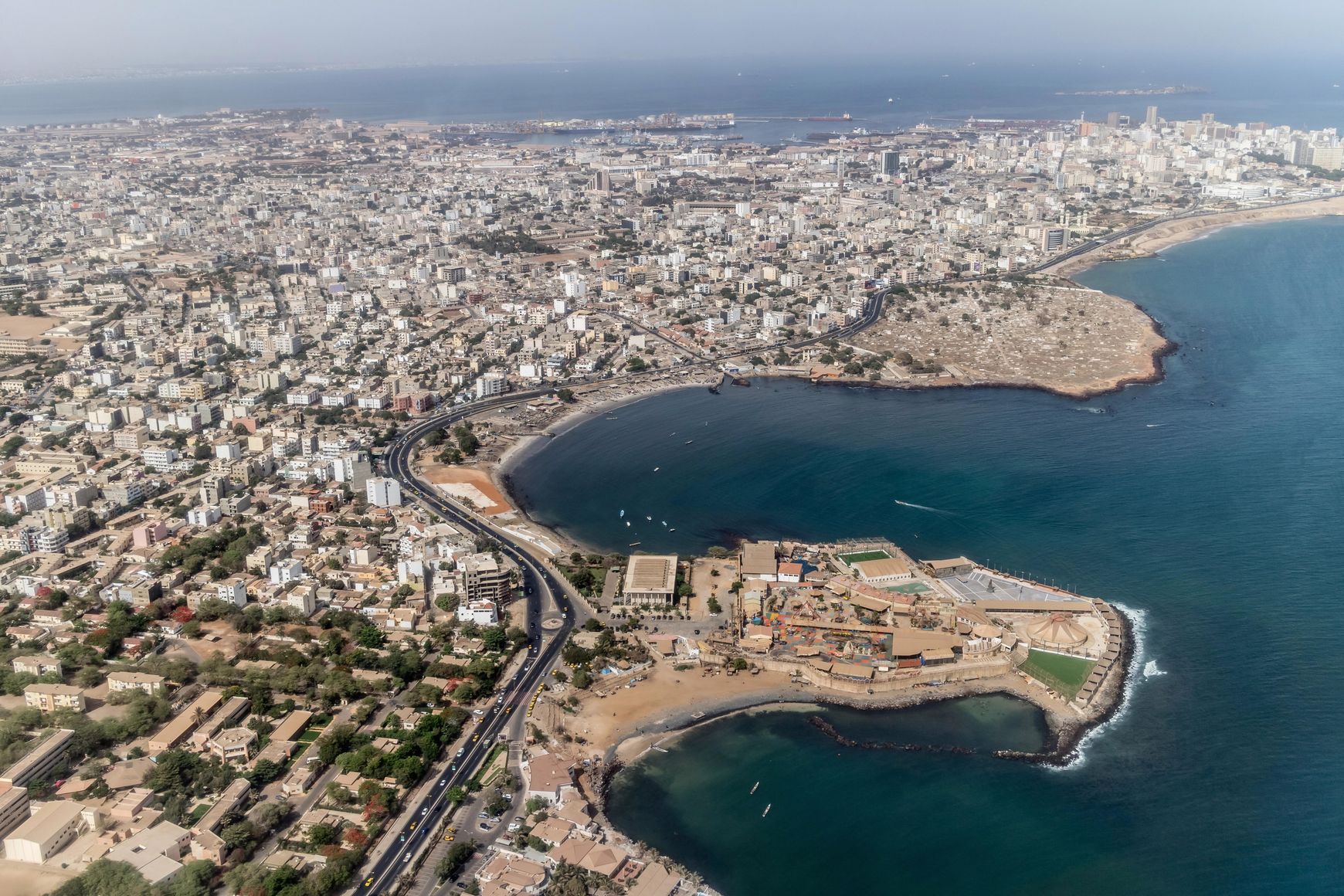
The project to modernise and rehabilitate Senegal’s geodetic infrastructure is part of the Land Registry and Security Project (PROCASEF), which aims to put in place land management tools throughout the country.
The land reform underway in Senegal is a key commitment of the government, and must be based on a modern, reliable and accurate geodetic reference framework for the whole country, such an infrastructure being essential to guarantee the geospatial integrity of the surveying and positioning work. The implementation of this geodetic reference network is being carried out by the IGN FI/Leica Geosystems consortium, and includes the installation of a network of 14 new permanent GNSS stations, the upgrading of 2 existing public stations and the integration of 6 other stations that are already operational. The project also involves rehabilitating the existing 1st and 2nd order geodetic networks, setting up a geodetic database and a user portal, and transferring skills to PROCASEF’s technical staff.
The project started at the end of November 2023 and will last 14 months, followed by a maintenance phase.
A national launch workshop for these geodetic modernisation works was held at the Radisson Blu in Dakar on 14 March 2024, bringing together the project’s technical partners and the stakeholders who will benefit from or use this geodetic modernisation.
Watch the extract from the Radio Télévision Sénégalaise: 8pm news – 14/03/2024