International land seminar, 20 & 21 February 2020: Making your LIS a success
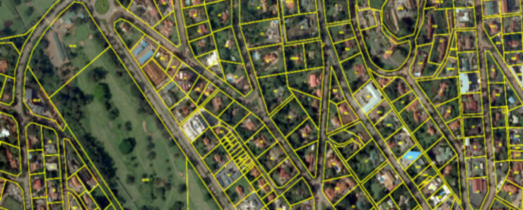
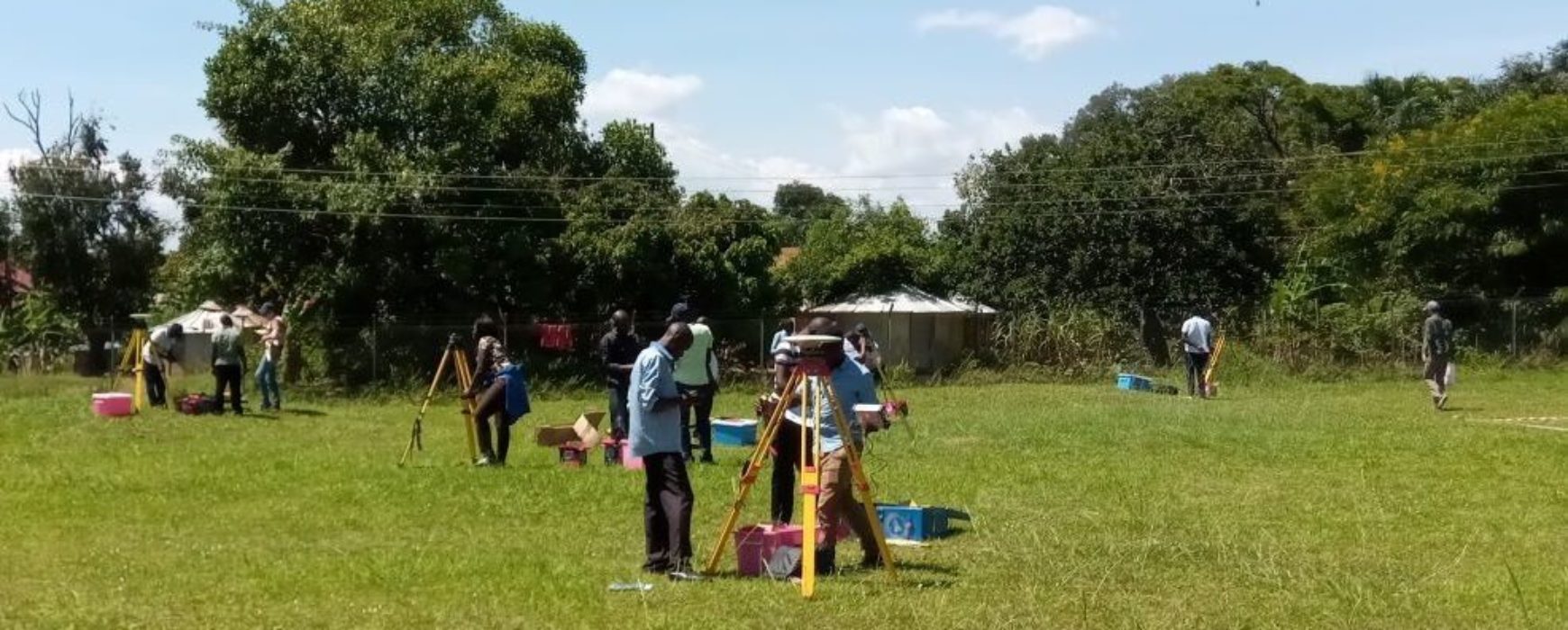
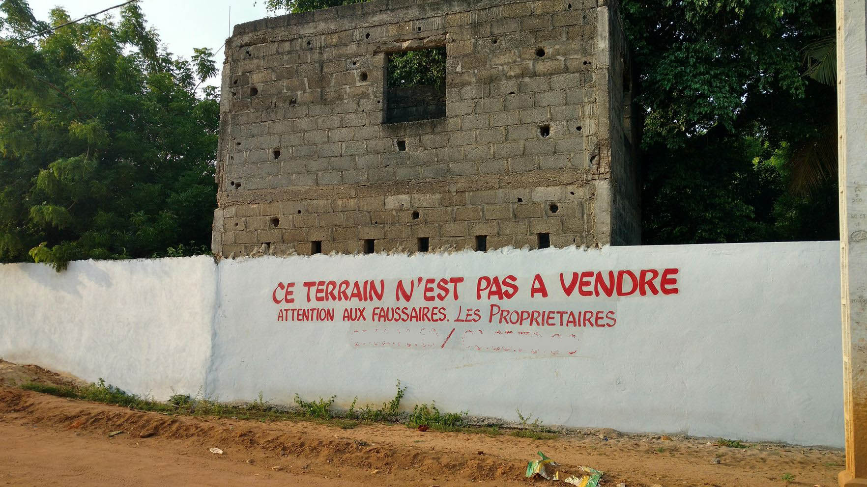
Between 2010 and 2014 IGN FI carried out the design, supply and installation of a Land Information System (LIS) for 6 decentralised offices of the Ugandan ministry responsible for land administration affairs, and at the same time created a National Land Information Centre. In 2015 the World Bank selected IGN FI to Continue reading


