
GEODESY / METROLOGY
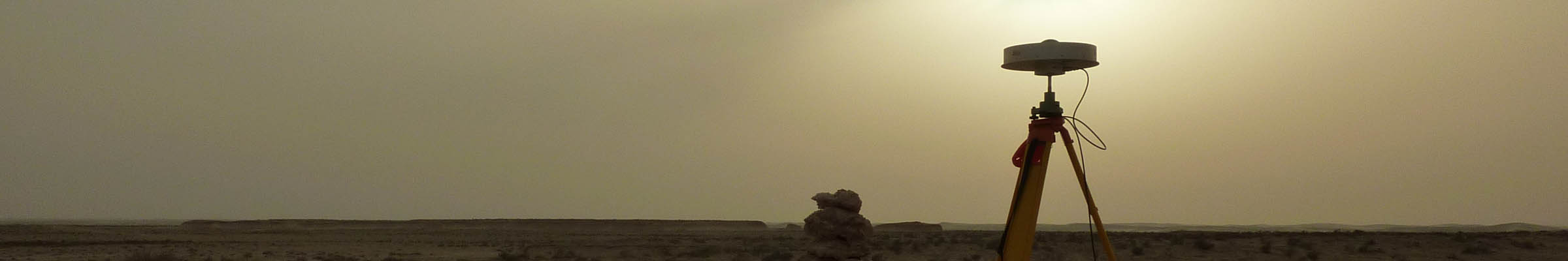
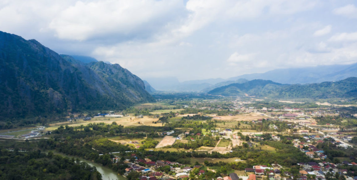
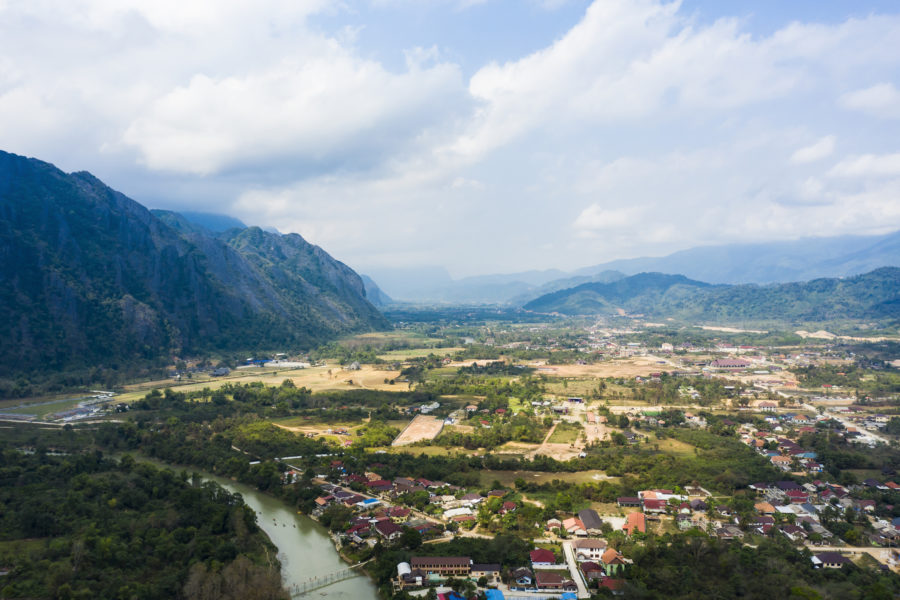
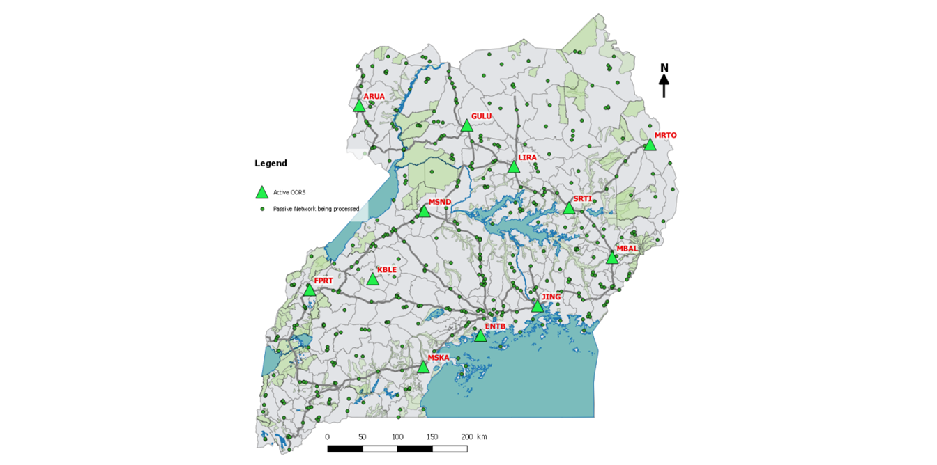
Having now adopted a resolution confirming the importance of geodesy in sustainable development, the United Nations is encouraging its member states to use a modern reference framework which is accurate and accessible to all. The various GNSS systems (Global Navigation Satellite System) now available allow us to achieve levels of accuracy of just a few millimeters. Thanks to these systems, geodesy (the mathematical calculation of the Earth’s shape) now supplies cartographers and planners with reference points which become more accurate with each passing day. The regeneration of a country’s geodetic network is therefore absolutely fundamental for its development in view of the large range of sectors concerned: land administration, urban development, drainage and transport networks, but also the management of borders and therefore national security.
Upload the brochure
Our areas of expertise
Advise, design, execute or accompany projects in the fields of geodesy or metrology:
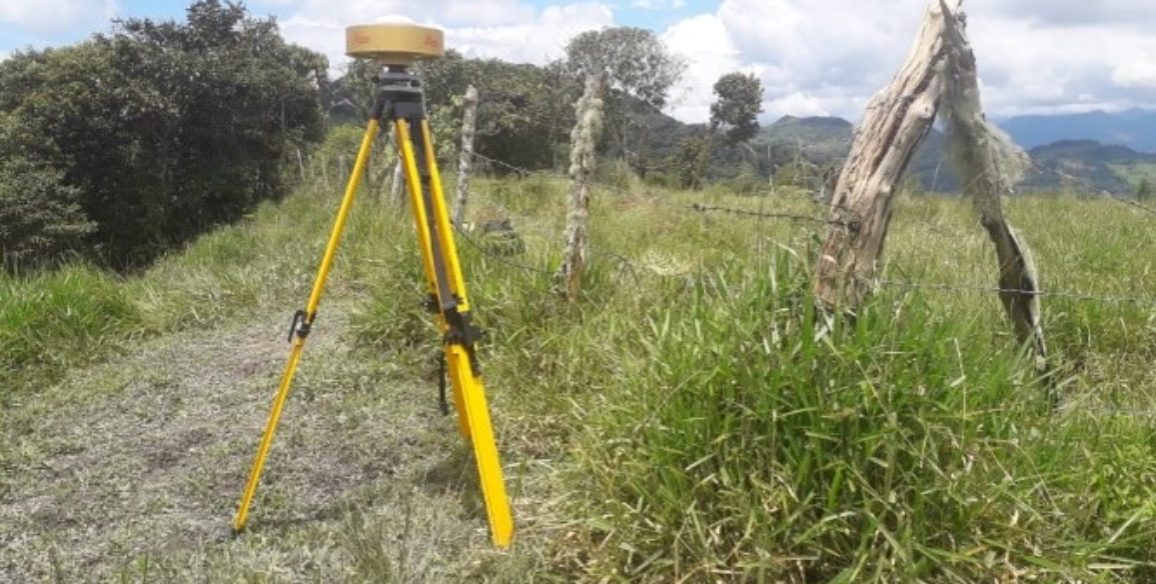
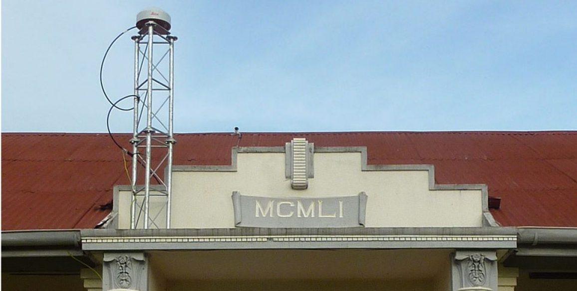
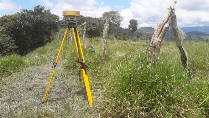
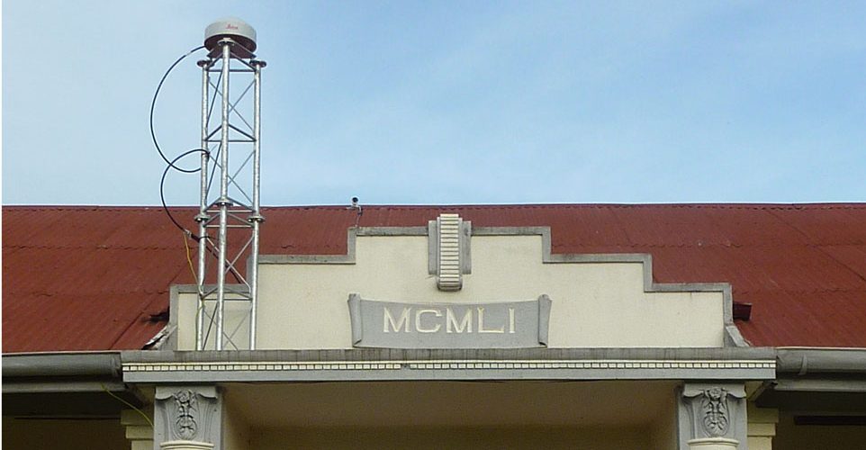
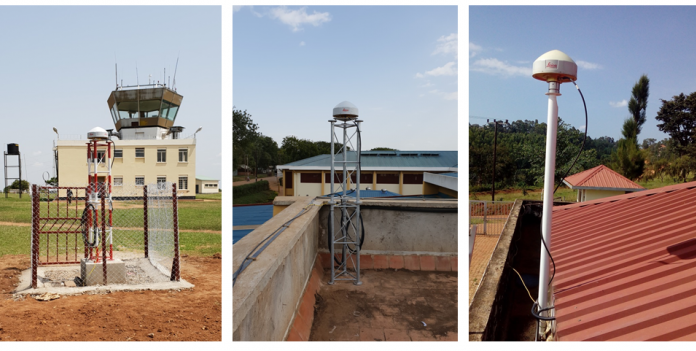
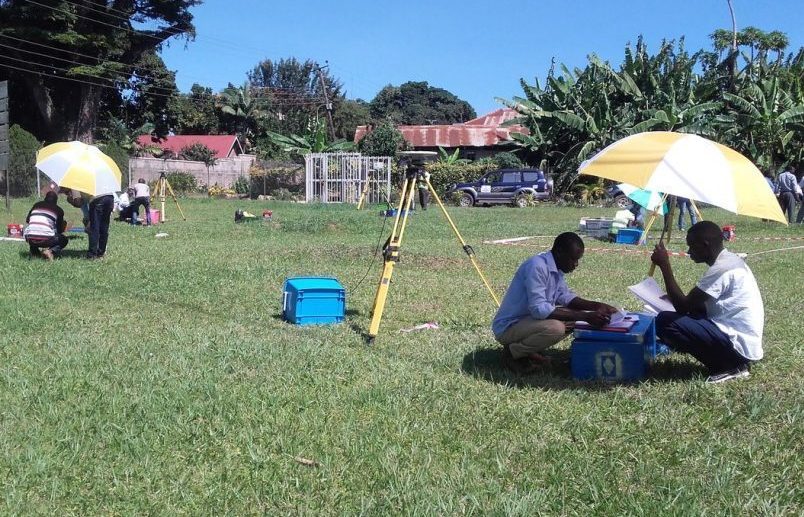
- Installation of permanent station networks
- Creation of a national geodetic reference system via a materialised network
- Metrological surveillance of structures and sensitive areas over timescales of between a few days to several years
- Dimensional measurements for scientific or industrial uses
- Geoid measurements and calculations with centimeter accuracy
- Calculation and actual marking of border demarcation
- Creation of tools for converting coordinates from old local or national systems to a system compatible with international references
- Transfer of technology
- Theoretical and practical training