
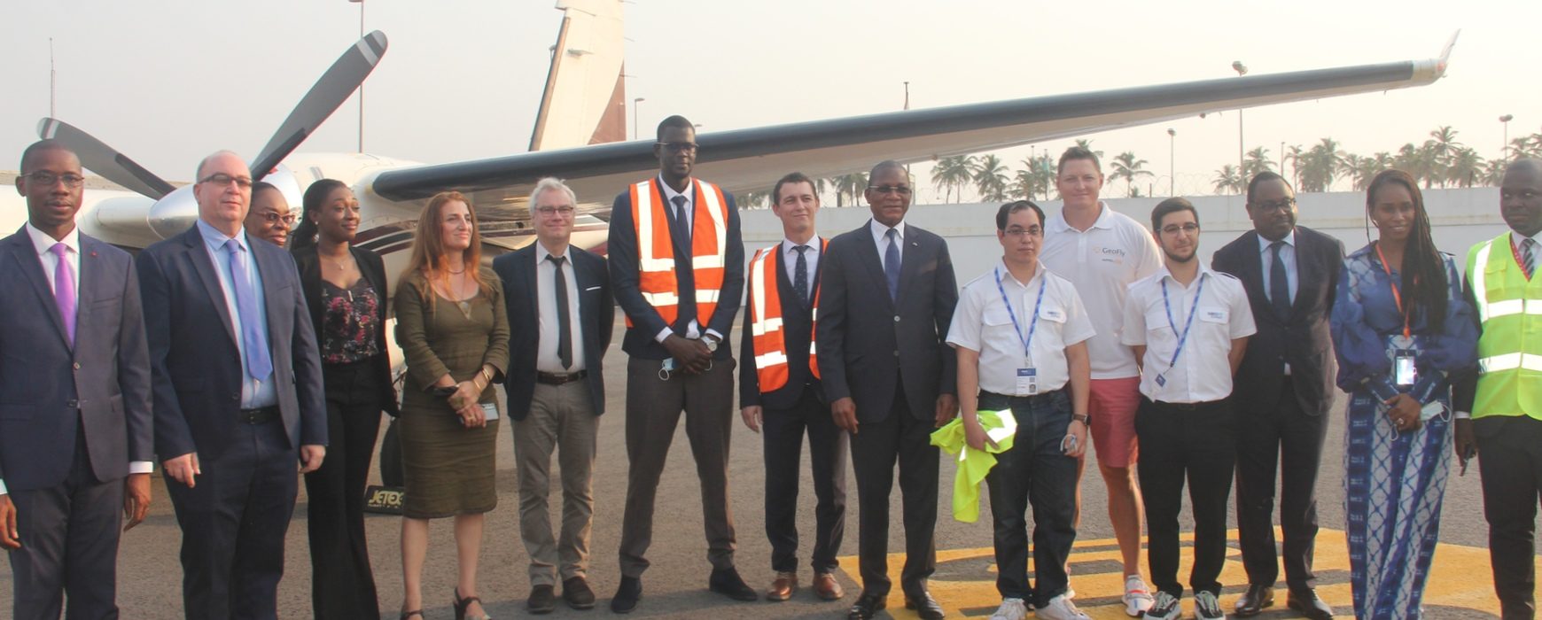
In the framework of the Simplification and Digital Transformation of Urban Land Administration Project (SIGFU), on Thursday Minister Bruno KONE paid a visit to Abidjan’s Félix Houphouët Boigny airport to see the specially equipped plane due to acquire aerial photographs and LiDAR.
Overflying the areas of Greater Abidjan and Assinie will enable valuable data to be obtained thanks to the high quality equipment, the precise land details that will be obtained and processing of the data, providing an up-to-date information base for use particularly by the SIGFU project that is under way at the moment.
All public sector bodies with an interest in the project will have access to the data produced, through a policy of making the information available as Open Data.
Vincent BOUSQUET, the expert in aerial data acquisition, stated that “overflying will enable us to achieve orthophotograph cover of an area of 4,500km² at a resolution of 5cm, plus a digital terrain model”. This level of resolution can be achieved thanks to the high quality of the Aero Commander AC695 plane’s equipment, which includes : Vexcel UltraCam Eagle Mark III camera and Optech Galaxy T2000 Lidar, in addition to a highly accurate positioning system (on-board GSNS and inertial measurement unit) to ensure final data accuracy.
It is worth noting that these data will also be used for decision-making support tools relating to a variety of issues including prevention of risks and natural disasters.
Read more:
- https://www.koaci.com/article/2022/01/28/cote-divoire/societe/cote-divoire-foncier-urbain-abidjan-receptionne-un-aeronef-de-type-aero-commander-ac695-destine-a-acquisition-de-photographies-aeriennes_157202.html
- https://www.fratmat.info/article/218167/conomie/gestion-du-foncier-bruno-kone-demarre-la-cartographie-du-grand-abidjan-a-partir-de-la-photographie-aerienne
- https://www.facebook.com/watch/live/?ref=watch_permalink&v=497145315167513
Watch an extract from the RTI 1 TV news – 31 January (in French)