IVORY COAST: Spatial land monitoring project

IVORY COAST: Spatial land monitoring project

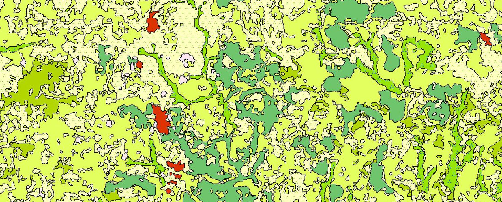
France has provided SPOT 6 and 7 satellite images to central African countries as well as some Western African countries, including Ivory Coast, as part of the REDD+ project and other initiatives concerning the sustainable land management. IGN FI is responsible for steering the program and supporting these countries in utilizing Continue reading

Cadastre Colombia: Methodology conception

Cadastre Colombia: Methodology conception

Conception of integral methodology to carry out urban and rural multi-purpose cadastre in La Mojana region (Colombia). These last years Colombia has taken a historic turn after signing a peace treaty with the FARC. These agreements have resulted in implementation of the politics of territorial development and, as objective, the Continue reading

TANZANIA: The LIS is to speed up the digitization work

TANZANIA: The LIS is to speed up the digitization work

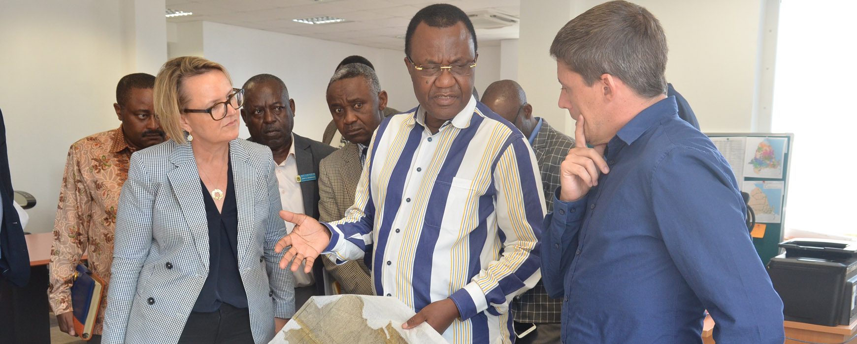
At the occasion of the workshop that took place in Dar Es Salaam, November 28th, the Minister in charge of land issues, Mr Wiliam Lukuvia, has called upon the ILMIS (Integrated Land Management Information System) project to speed up digitization work that shall allow electronic updating, processing, storage and retrieval Continue reading

Ethiopia: the LIS project in a new phase

Ethiopia: the LIS project in a new phase

In September 2014, the IGN FI/ IGN France/ Geomark international Consortium was awarded a contract for supervising the implementation of the Cadastral and Real Property Information System launched by the Ethiopian Ministry of urban development, and housing (MUDHo). The design of the future system has been developed by INSA, the Continue reading