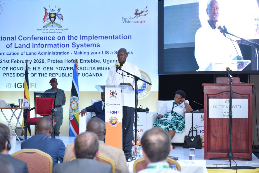

The international seminar held in Entebbe to mark the conclusion of the LIS project took place on 20 and 21 February.
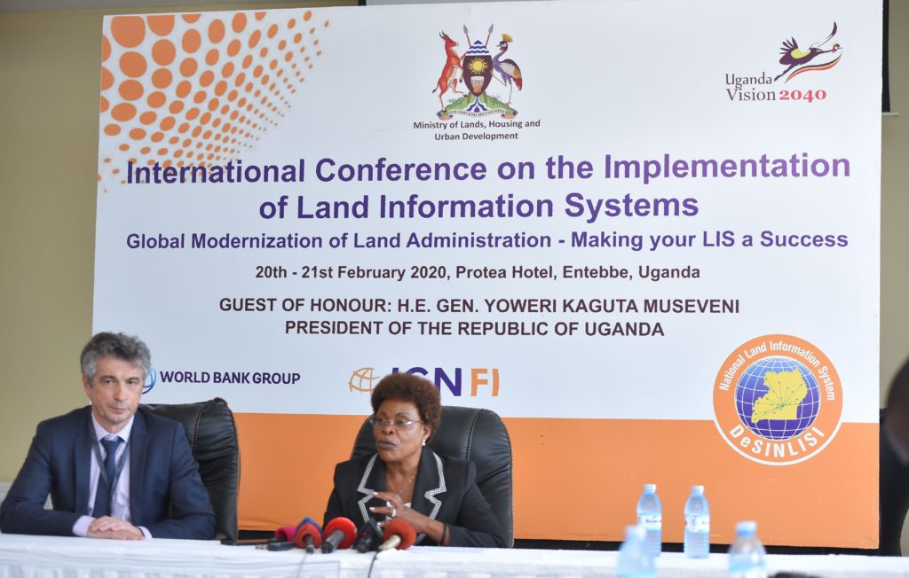
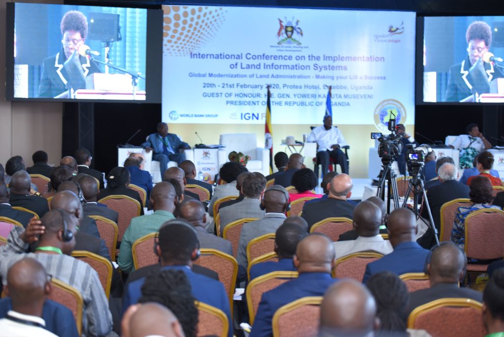
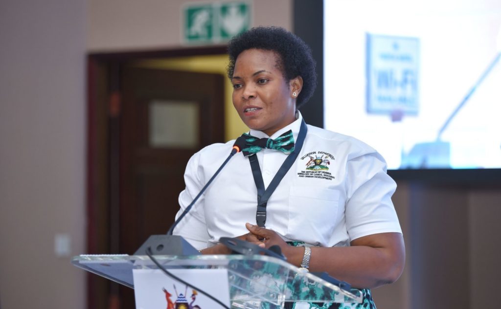
To mark the conclusion of the DESINLISI project, the Ministry of Lands, Housing and Urban Development organised an international conference on the theme of “Global Modernization of Land Administration – Making your LIS a Success”.
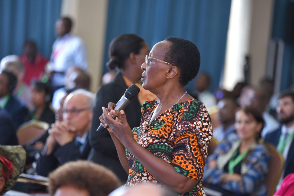
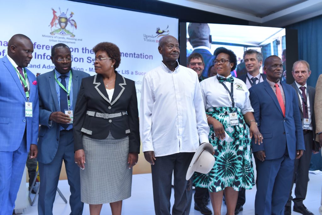
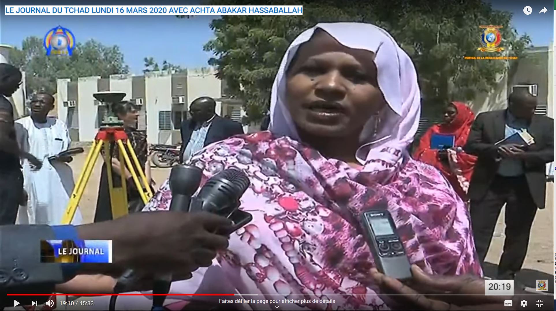
More than 180 participants attended the first day, which was opened by the President of the Republic of Uganda in the presence of ministers from several States. A number of delegations also accepted the invitation of IGN FI to come to Uganda. These included representatives from Ethiopia, Burundi, Gabon, Congo, Malawi, Ivory Coast, Burkina Faso, Chad, Madagascar (…).
25 countries of which 15 African countries were represented.
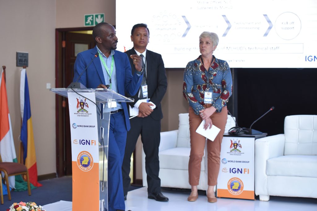
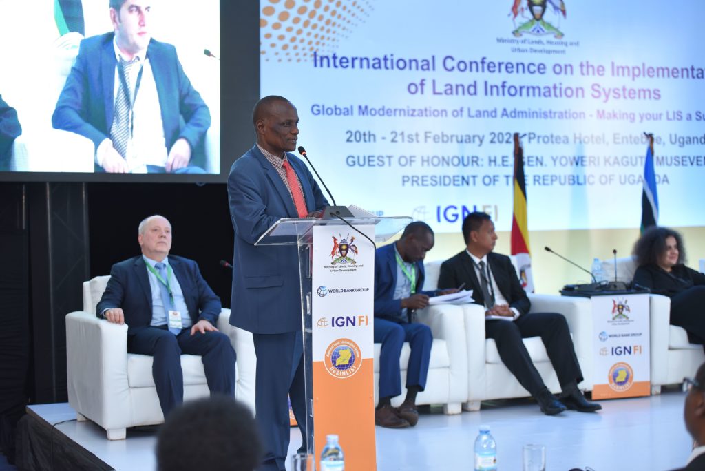
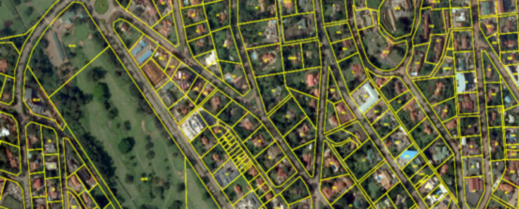
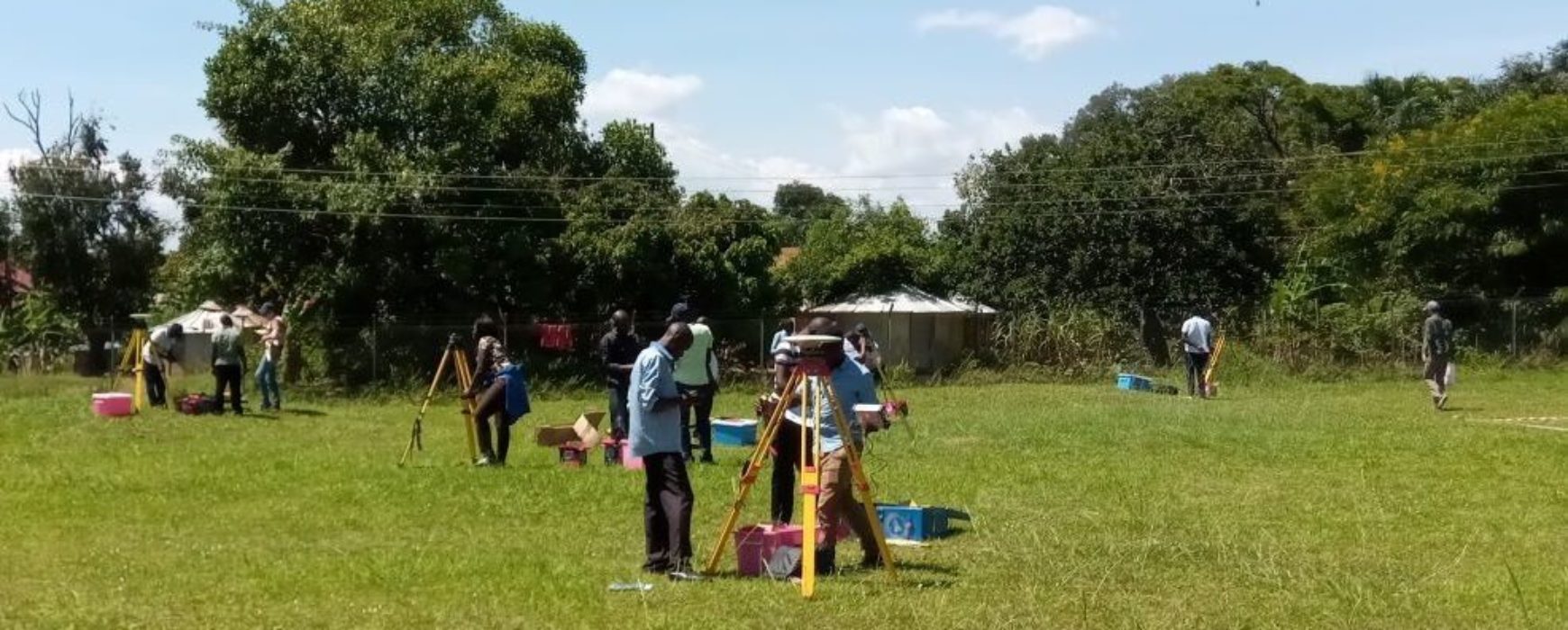
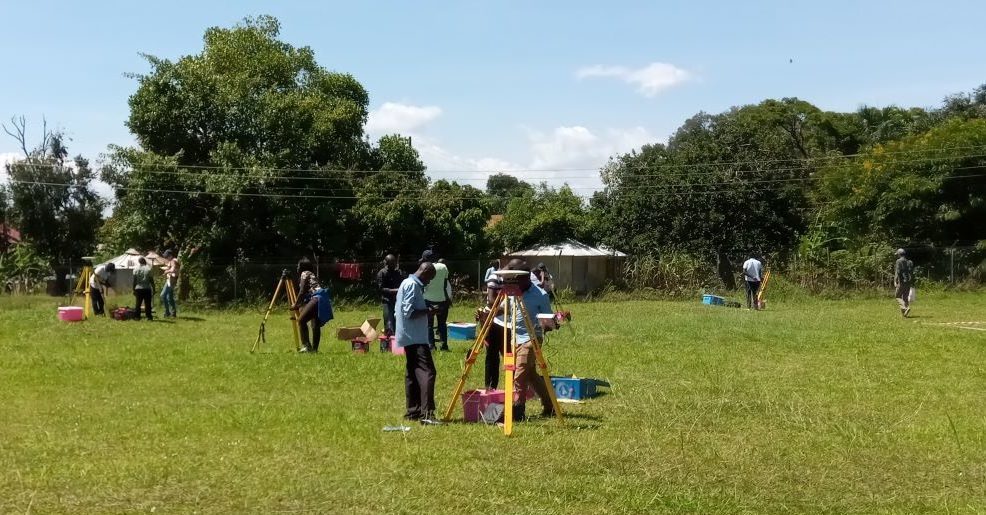
Demonstrations of the system and individual meetings were taking place alongside the seminar.
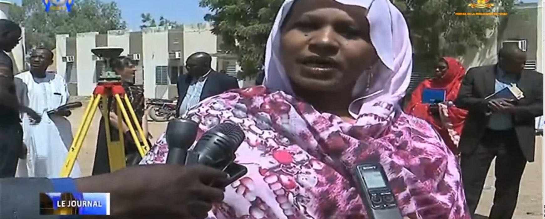
Some extracts of the press coverage:
https://chimpreports.com/museveni-calls-for-modernization-of-land-management/
https://www.busiweek.com/ign-fi-completes-ugandas-land-information-system/

