Creation of the national map, BENIN

Creation of the national map, BENIN

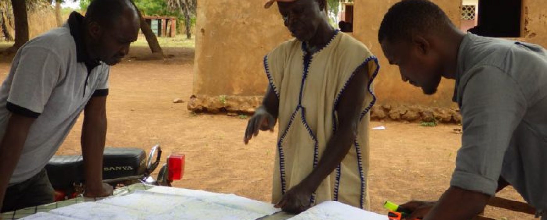
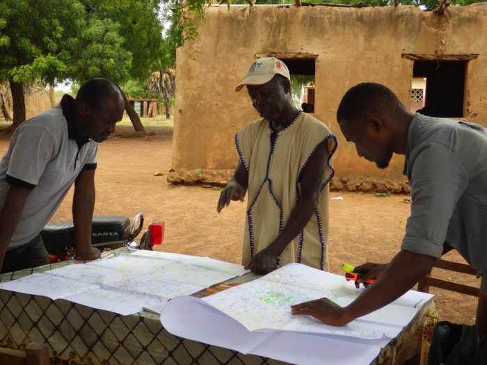
Creation of the national map, BENIN IGN FI was awarded the United Nations Development Programme (UNDP) tender in October 2014 for a project to create a master digital map of the entire territory of Benin at a 1:50,000 scale. Besides a few exceptions, the country’s maps had not been updated since it became Continue reading

Inventory of Tatas Sombas, BENIN

Inventory of Tatas Sombas, BENIN

Inventory and mapping of Tatas Sombas, BENIN The Tatas, mud-brick “fortified houses” typical of the north of Benin, form a remarkable architectural heritage. A study has been made of them in a project undertaken by the French Embassy in Benin in partnership with IGN FI and the Koutamarikou and Eco Bénin Continue reading

Spatial observation of tropical forests (OSFACO), AFRICA

Spatial observation of tropical forests (OSFACO), AFRICA

Tropical forests have been at the centre of global issues for a number of years now, either being at the forefront of international conventions or due to biodiversity. They are reservoirs of carbon and biodiversity, offering means of subsistence for millions of people. The forests in the Congo Basin represent Continue reading