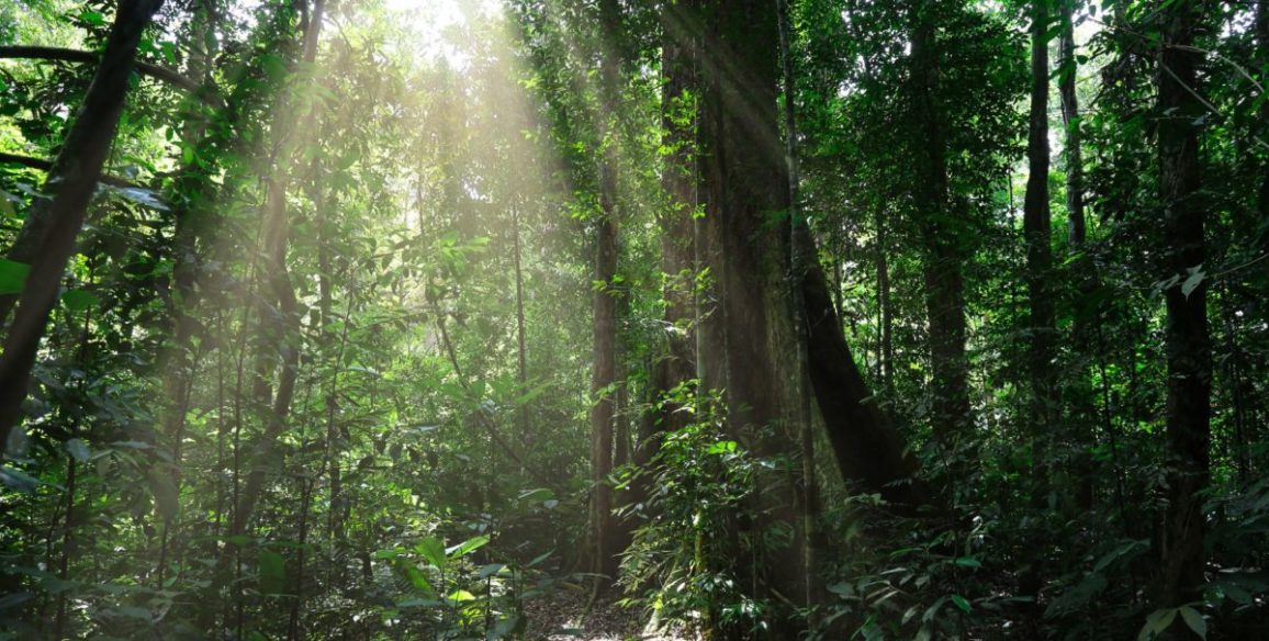
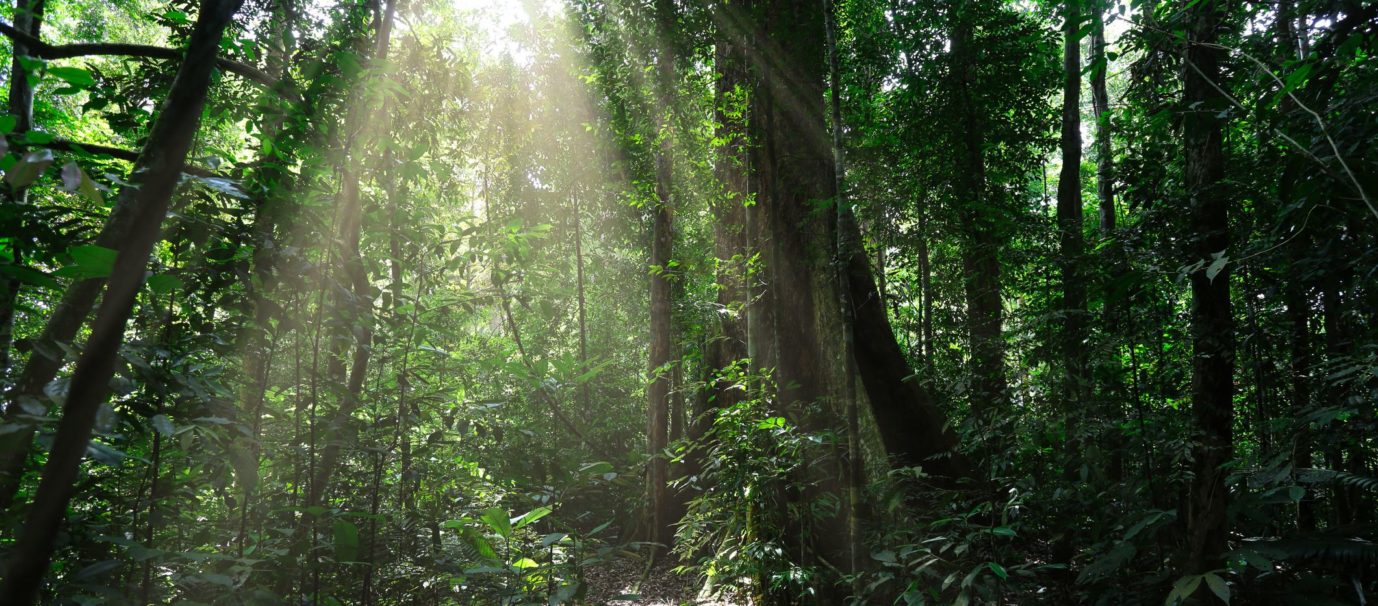
Tropical forests have been at the centre of global issues for a number of years now, either being at the forefront of international conventions or due to biodiversity. They are reservoirs of carbon and biodiversity, offering means of subsistence for millions of people. The forests in the Congo Basin represent 22% of the world’s forest cover and have, up to now managed to keep the country’s level of deforestation low. However, forest cover in western African countries has reduced by 20% between 2000 and 2010.
Gaining better knowledge of these changes is a pre-requisite for implementing and tracking preservation policies for natural resources and planning land use for agricultural and pasture land. A major focus in fighting against climatic change is following up the dynamics of these land types.
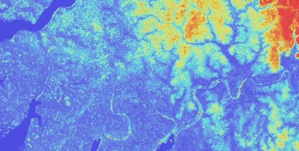
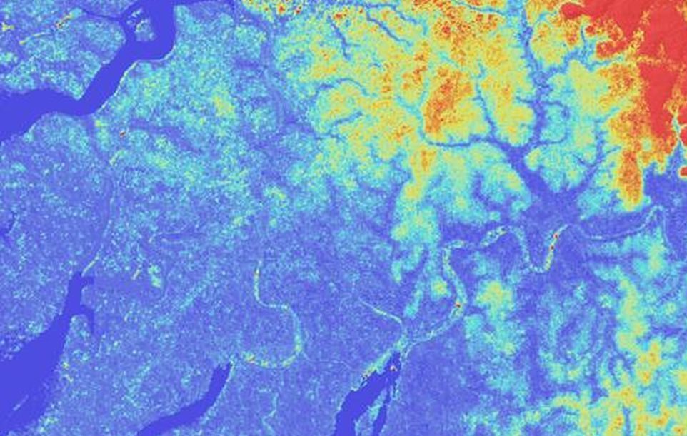
Satellite observation of the Earth is known to be an indispensible tool for measuring and tracking the changes in land use, in particular concerning forest cover or agricultural land, as well as controlling the implementation and respect of land development policies. When associated with additional thematic data (pedology, biodiversity, socio-economic, climate, etc.), satllite images are the basis of numerous applications for agriculture, land, breeding, water resource management or land development.
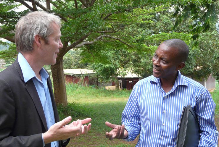
Over the last few years there has been a real increase in local expertise in the field of remote detection in Africa. Nevertheless, there is still a significant need for structuring and reinforcing these skills in order to guarantee that new technologies are fully assimilated by national teams.
Main objectives and deliverables
The OSFACO project aims to improve knowledge of past and present dynamics in terms of land use and land use change in several Central and Western African countries using spatial observation tools. By capitalizing on the results of the OSFT and GEOFORAFRI projects, the OSFACO project will reinforce and widen the scope of local expertise as well as the use of satellite imagery in the design, implementation and follow-up of public policies for sustainable land development.
A consortium steered by IGN FI is responsible for the ‘multi-country’ project management. The three other members are IRD, CNES and IGN.
Activities and expected results
Project’s components:
- Providing satellite images. For all 8 countries: making high-resolution SPOT satellite images available free of charge both archive (SPOT 1 to 5) and acquisition images (SPOT 6 and 7), for all of the countries concerned, for all of the users implicated in long-term land development and sustainable forest management; support the entities in charge of distributing these images in each country.
- Supporting local map production. Targeted support for certain countries: skills transfer in order to support the production of maps on land development and land use with satellite images as well as updating this data.
- Promoting the use of satellite images. This component includes the following activities:
- Supplying equipment and dispensing training in remote sensing and GIS to centres and administrative bodies specialized in remote sensing and mapping, as an addition to the support already provided by the GEOFORAFRI project
- Call for research projects aiming to promote the operational use of satellite imagery for land use mapping: a minimum of 20 projects will be financed (over the 8 countries)
- Regional and national workshops organized to present the results of the micro-projects funded and encourage exchanges between users and developers of remote sensing applications in Africa
- Improving communication and dissemination of data, products and results
Key figures
- 8 recipient countries: 3 in Western Africa, 5 in Central Africa
- Supply of SPOT images over 4.7 million sq.km
- Funding and follow-up of 20 research projects (over all 8 countries)
- Training of several dozen senior managers of various target ministerial bodies in a minimum of 3 countries
- Equipping the technical departments of the targeted ministries (hardware and GIS/remote sensing software) in a minimum of 3 countries
- Support for mapping work on over 700,000 sq.km (3 countries)
Find out more
=> Learn more about the project progress (french version)
=> Watch the documentary “Beyond the Maps”, on the OSFT and GEORFORAFRI projects (of which OSFACO was the follow-up)
Beyond the maps (Long version) : https://www.youtube.com/watch?v=uCP9mJHknBs
Beyond the maps (Short version) : https://www.youtube.com/watch?v=0mQOOB749Bg