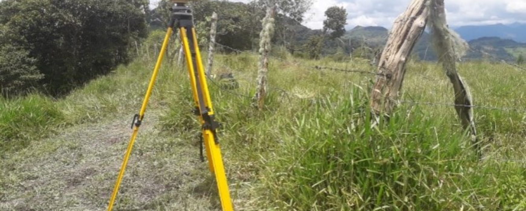
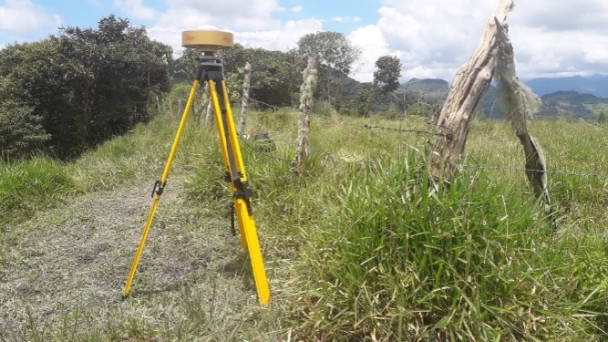
Installation of 13 new permanent stations for the national geodetic network, COLOMBIA
Installation of 13 new permanent stations for the national geodetic network, COLOMBIA Colombia has received finance from the World Bank for the project to implement a Multi-Purpose Land Registry for the country. An essential part of the project is to set up and operate permanent reference stations (CORS) and to Continue reading
