
DESIGN OF THE INTEGRATED METHODOLOGY FOR THE IMPLEMENTATION OF MULTI-USE URBAN AND RURAL LAND REGISTRY TOOL FOR THE REGION OF MOJANA, COLOMBIA
One of Colombia’s major aims is to possess a multi-use land registry tool that will increase the efficiency of public management as a large proportion of State-initiated projects require survey information. A number of public management areas can be considerably improved with the help of a multi-use land registry tool:
- Protection of property rights
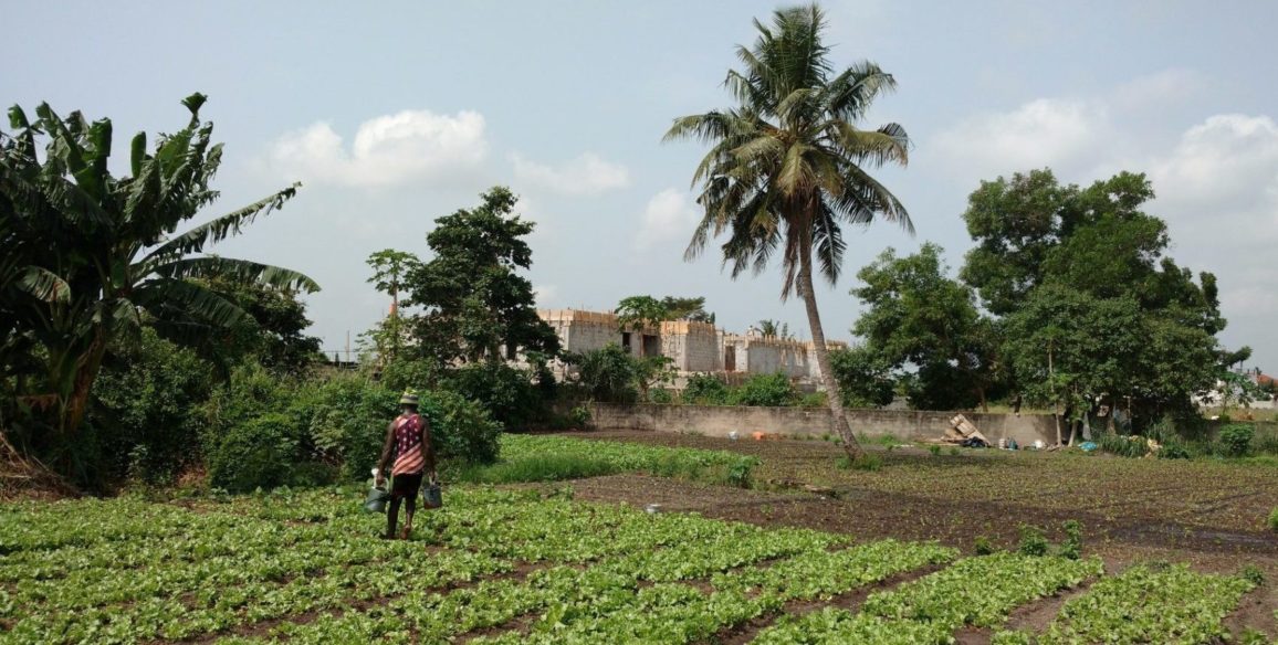
- Grants for agriculture
- Management of Government-owned land
- Management of Government assets
- Property management
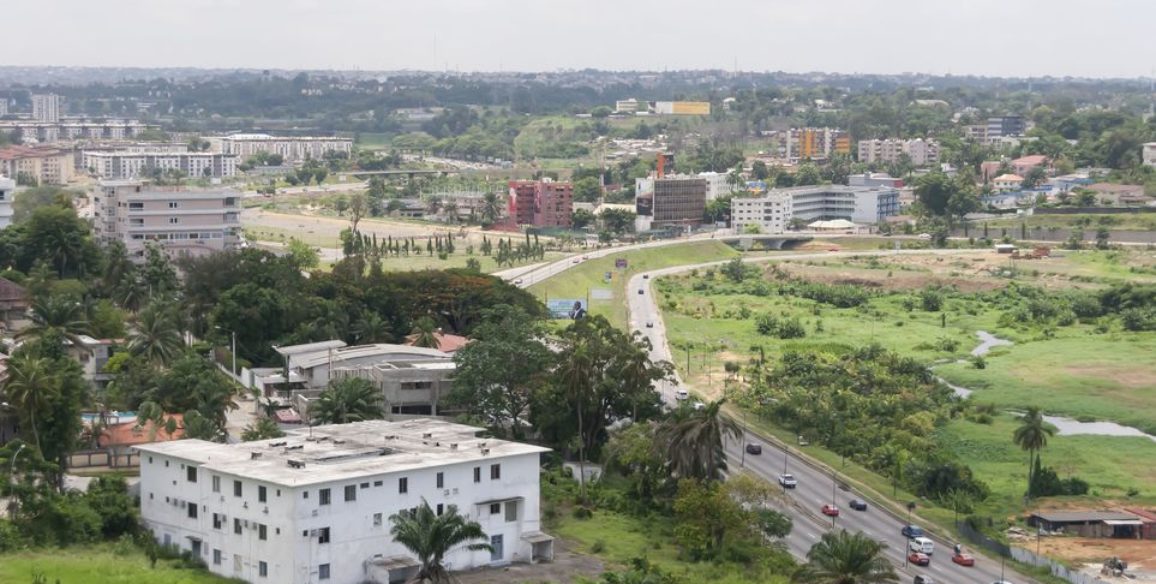
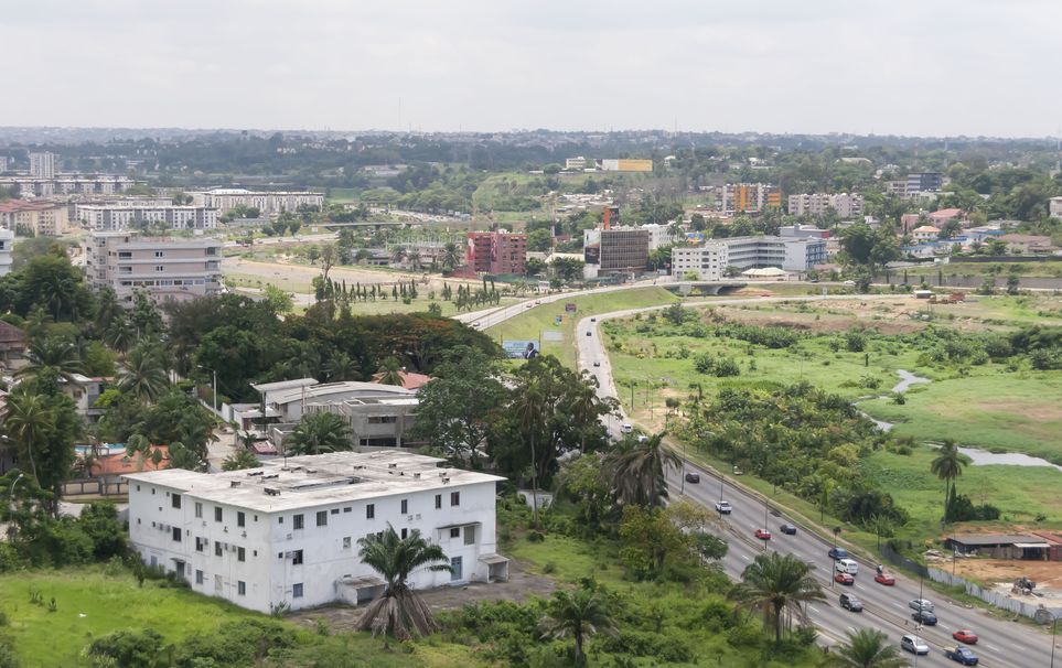
- Urban planning
- Setting up land-use management tools
- Management of land administration tax
- Building public infrastructures
- Concentration of actions and investments to reduce differences between urban and rural areas
- Land planning for properties.
In response to the Colombian government’s request and working via the French Agency for Development, the French Cooperation has financed the creation of a methodology for implementing a multi-use urban and rural land registry in the region of Mojana. This Cooperation has also expressed an interest in supporting the tool’s roll-out which is the main objective of this project.
Main objectives and deliverables
The objectives of the firm phase are to create a comprehensive methodology, update the information presently available and perform a diagnosis as well as create a GIS in respect of the LADM_COL model (International LADM standard adapted to Colombia).
The two conditional phases aim to acquire additional images and to control and assess implementation of the tool in the region of Mojana from a technical standpoint.
Deliverables
- Work plan to define methodology
- Proposal of detailed methodology, including cost, time and the personnel necessary as well as a risk and impact analysis
- Recommendations for rolling out this methodology over the region of Mojana
- Analysis report of the physical and cartographic data available as well as additional proposals for purchase (if necessary)
- Work plan to develop the GIS
Conditional phases 1 & 2 are to provide the following deliverables:
- Provision of additional data extracted from remote detection work, such as they are defined in the service order
- Regular follow-up and inspection reports on the implementation of multi-use surveying tool in the region of Mojana
French and Spanish versions of the deliverables are provided.
Key figures
- 11 towns in the region of Mojana – 10.837 sq. km
- Over thirty workflow diagrams provided for each phase of work

