Technical support for implementation of the spatial land monitoring (SLM) of Ivory Coast territory and a prototype for geoportal
The REDD+ Permanent Executive Secretariat (SEP-REDD+), acting on behalf of the Ministry for the Environment and Sustainable Development (MINEDD), initiated a national spatial land monitoring system (SLM) project. Two sub-projects on map production and the creation of an IT platform were included in this project to set up the REDD+ system as well as other sustainable land management initiatives. They were run by the BNETD/CIGN and the CNTIG respectively and in the following manner:
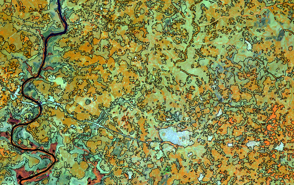
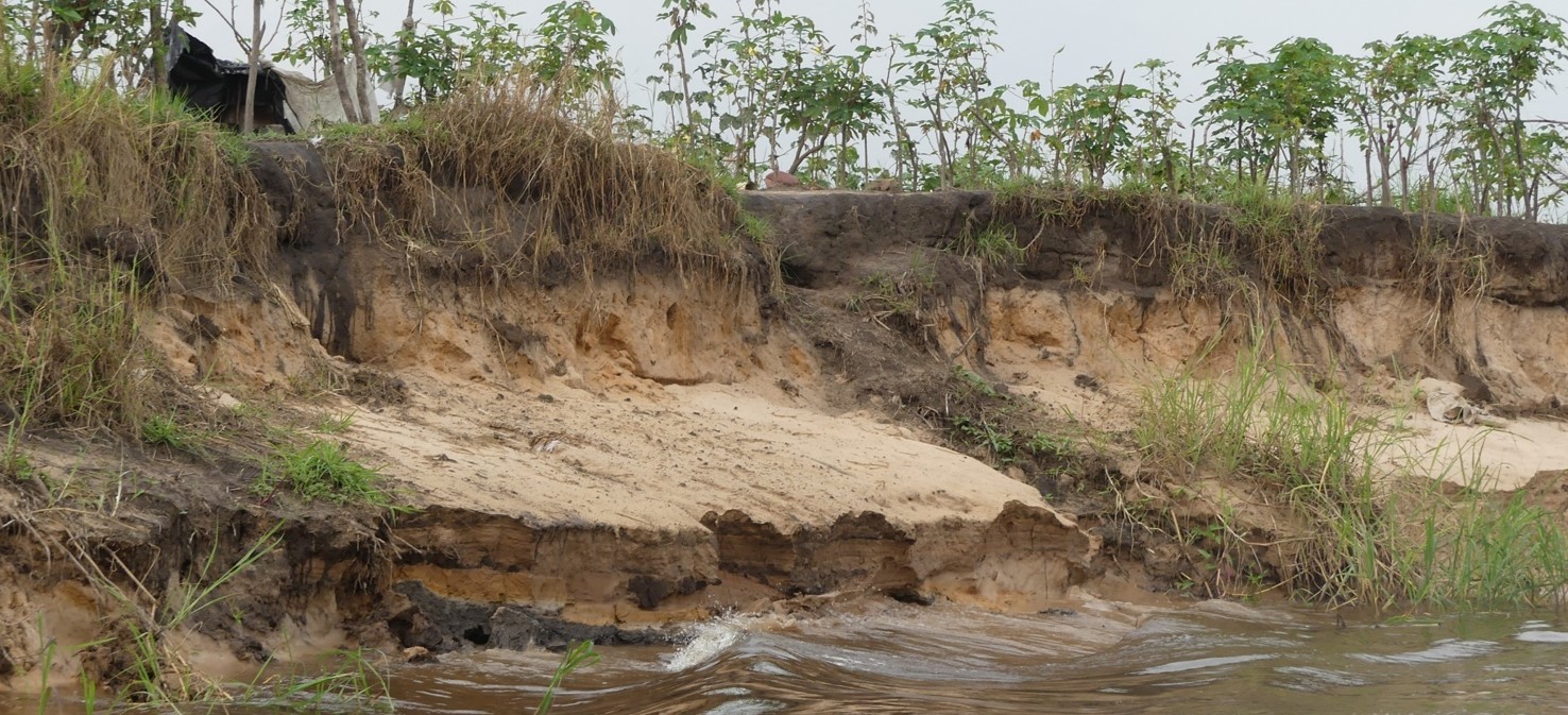
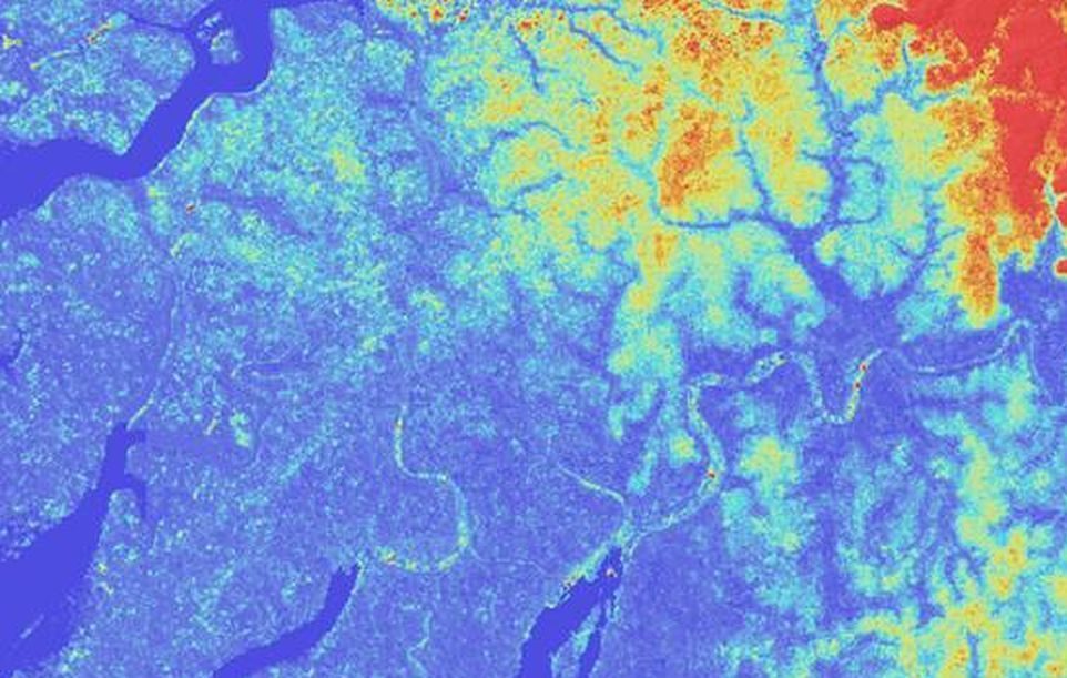
- The CIGN (Geographic and Digital Information Centre), part of the BNETD, managed the creation of a database for mapping land occupation over the entire country as well as reinforcing skills in Ivory Coast. This database was produced using a nomenclature with around twenty classes, defined so as to be perfectly compatible with the land cover classification system (LCCS) and compliant with the Intergovernmental Panel on Climate Change (IPCC). This database was created using Sentinel 2 images with additional help from Spot 6/7 pictures supplied by the OSFACO project (Spatial Observation of Tropical Forests in Central and West Africa – http://www.osfaco.org/).)
- The CNTIG (National Committee of remote sensing and geographic information) worked on the development of a platform for cataloguing, archiving, disseminating and downloading the entire set of data.
Objectives and deliverables
This project’s objective was to provide technical support and coordinate the work carried out by the two entities in charge of implementing both sub-projects. These objectives were more precisely to:
- Ensure that the themes examined during the needs analysis covered all the necessary aspects
- Validate the definitions of specifications
- Ensure respect of the project’s specifications and smooth progression of the project’s developments
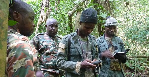
- Support data production
- Perform skills transfer
- Validate the platform’s integration into the website
- Confirm that the platform is running smoothly as well as the dissemination of data
- Train the Ivory Coast project participants on web mapping technologies and web platform management
Database deliverables:
- Needs analysis report submitted with comments
- Comments on and completion of technical specifications
- List of the tests performed
Prototype geoportal deliverables:
- Graphic layout
- CMS prototype
- V0 of the geoportal prototype
- Final version of the geoportal (with all test data loaded)
- Test report
- Operational geoportal prototype
- Training aids
Keys figures
- MMU of 0.5ha
