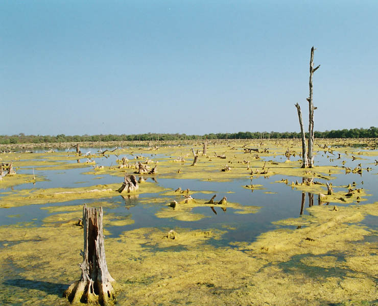
Corine Land Cover – Land occupation mapping by remote sensing, COLOMBIA
Implementation of the ‘CORINE Columbia’ land occupation database began in June 2004. The project was founded on a close collaboration between IGN FI and ONFI teams and the Columbian organisations: IGAC (Instituto Geografico Agustin Codazzi), IDEAM (Instituto De Hidrologia, Meteorologia y Medio Ambiente) and CORMAGDALENA (Corporacion Autonoma Regional del Rio Grande de La Magdalena).
It was then updated and extended to cover the entire Columbian territory, once again in partnership with all the national geographic and environmental institutes.
Objectives and deliverables
The project’s objective was to carry out a real transfer of know-how to the various Columbian institutions involved (IDEAM, IGAC, Cormagdalena) in the aim of producing a land use map. The exchanges between French and Colombian teams included training, methodological advice, technical support, quality control and assistance for production.
Delivrables
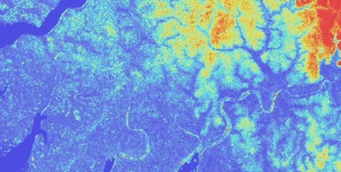
- The CLC-Colombia land use database (in shapefile format)
- Progress reports
- Quality control reports: on inspections and audits in the field
- Assistance in the creation of a methodological guide
Key Figures
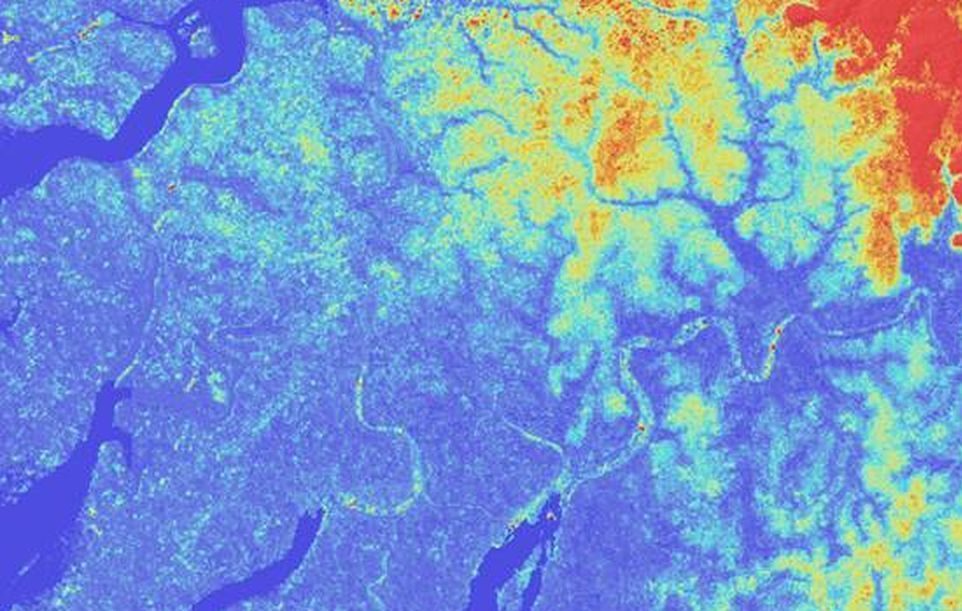
- Mapping of over 234,000 sq.km of land
- More than 20 photo-interpreters implicated
- Nomenclature created with more than 60 classes
