Upgrading of the general map at a scale of 1:200,000, based on spatial images, BURKINA FASO
This project has consisted of updating the entire country’s map coverage at a scale of 1:200,000, in order to make a coherent national cartographic reference available for various actors (infrastructure, land management, statistics, rural development, social equipment, environment …).
The database produced is also compatible with the national land cover database in order to make a set of consistent and complementary information layers.
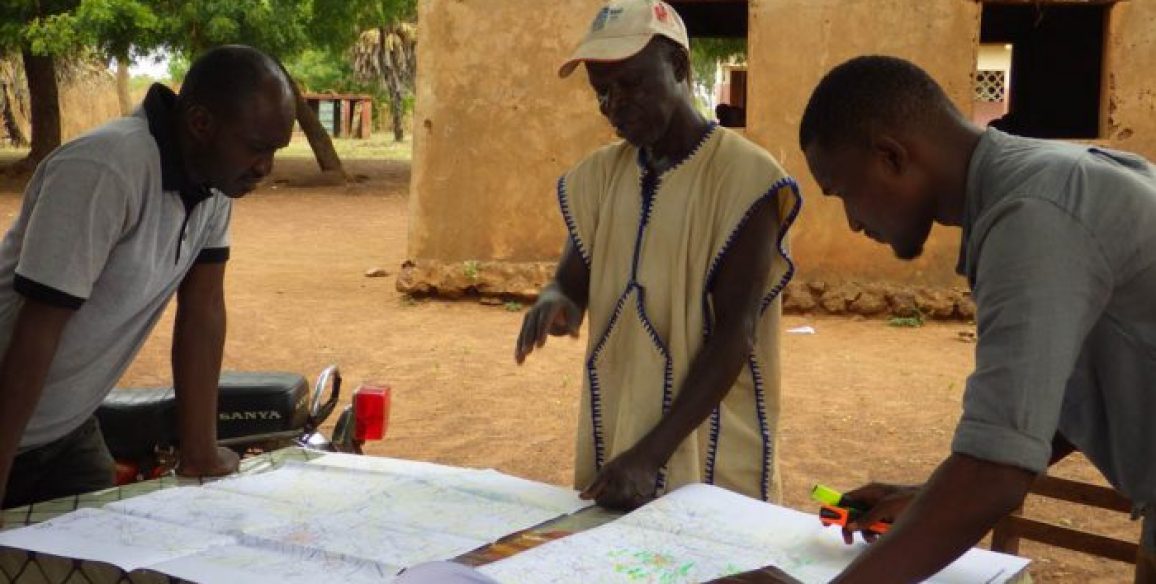
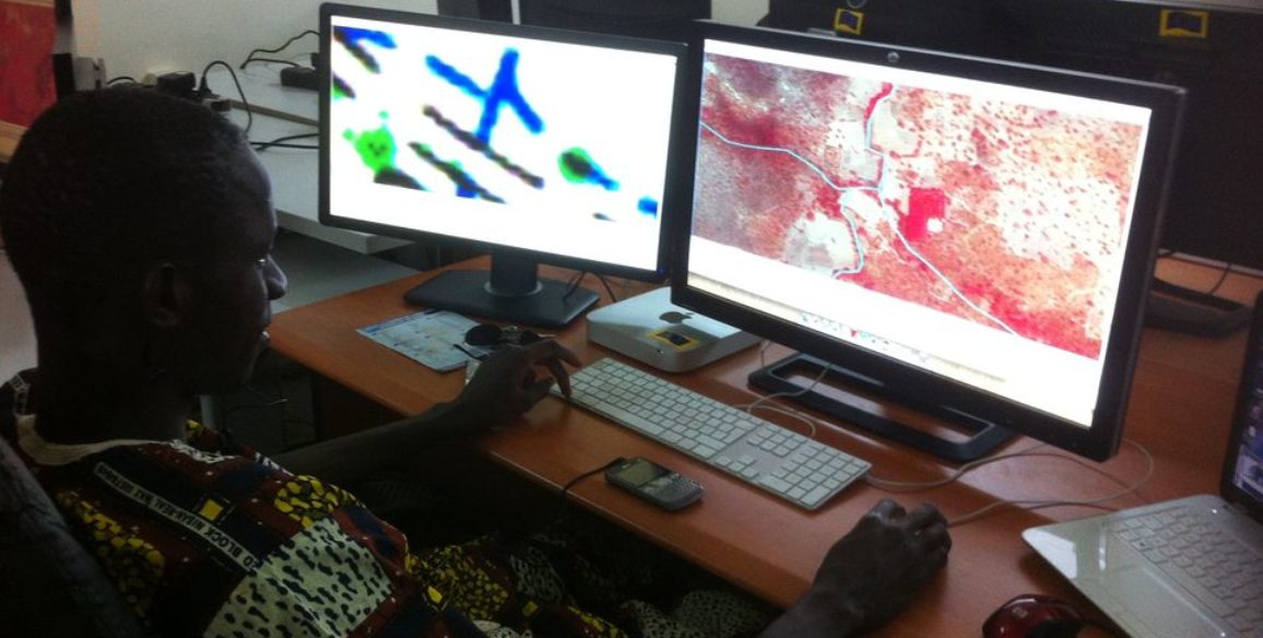
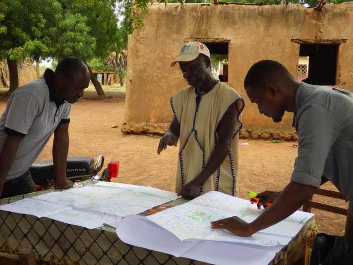
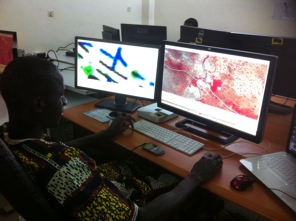
In order to guaranty the success of the capacity building phase, the entire production was carried out on site, at the Geographic Institute of Burkina (IGB) premises, and by IGB’s staff, with a methodology that has been set up by IGN FI, with equipment whose configuration has been defined by IGN FI, and with a three year technical assistance and support.
Objectives and deliverables
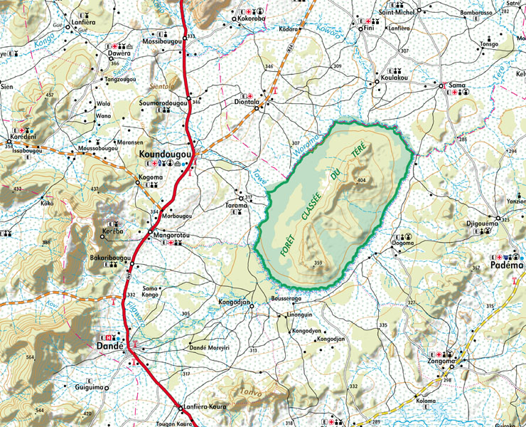
- Topographic maps at a scale of 1:200,000 covering the entire country of Burkina Faso, updated using satellite images
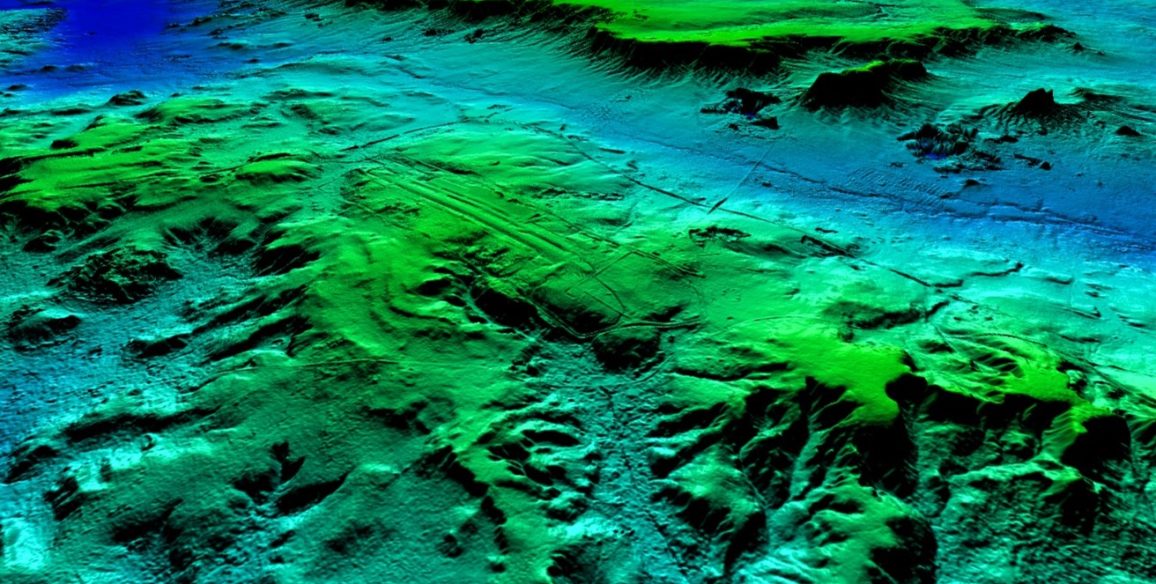
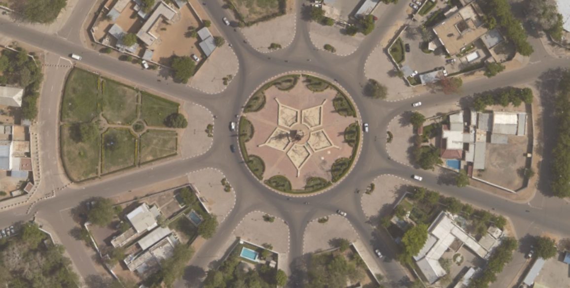
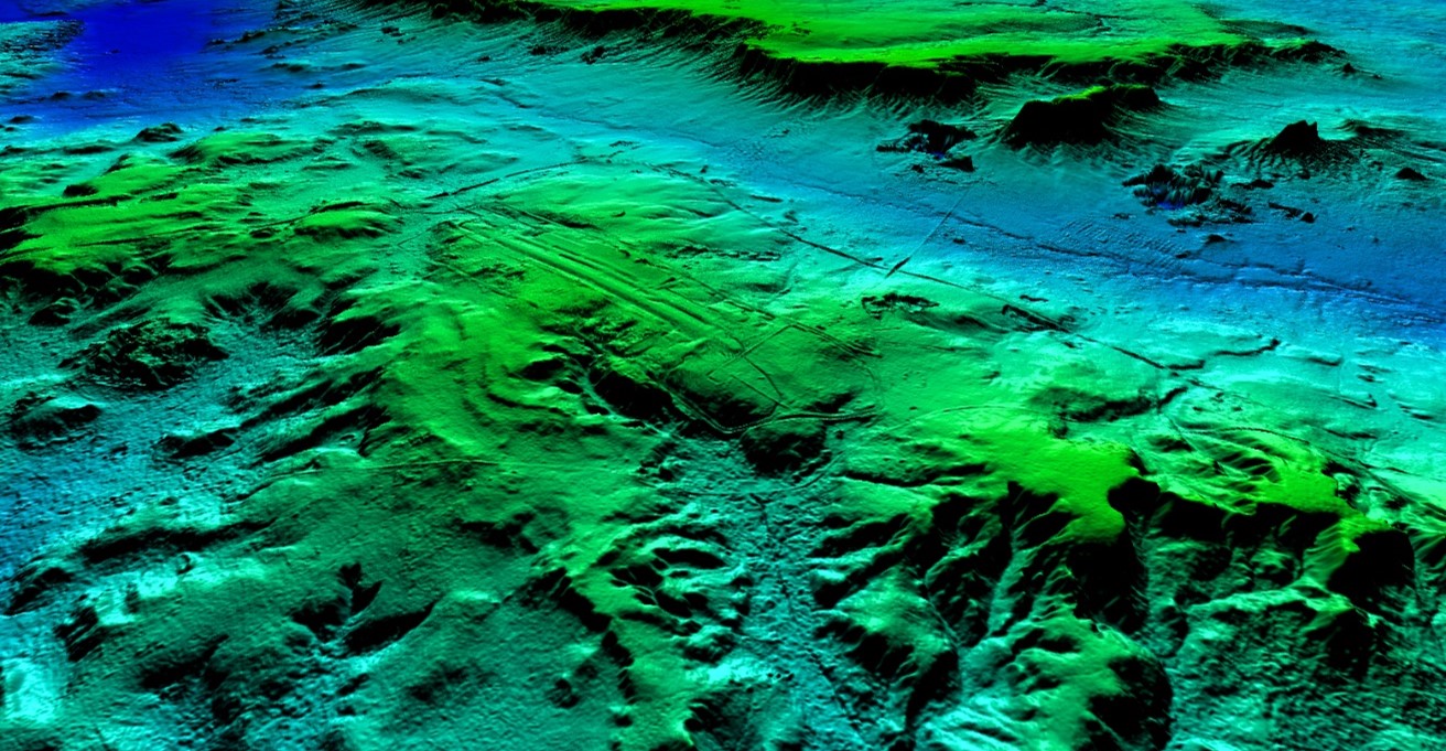
- A tiled orthoimage covering the entire country with homogeneous radiometric resolution and accurate in location at better than 5 meters
- An up-to-date national topographic database (BNDT) consistent with Burkina Faso’s land use database and its metadata
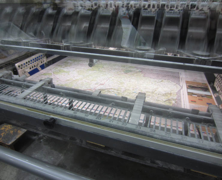
- Derived products: a road and tourist map at a scale of 1:1,000,000, a road atlas at a scale of 1:200,000, wall assemblies at a scale of 1:300,000
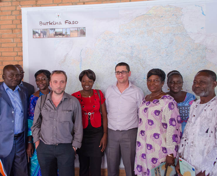
- Workshops for feed, an official closing ceremony of the project
Among other results, the completion of these products goes with a transfer of skills and technology for the benefit of IGB’s staff, an updated nomenclature of the national topographic database (BNDT), a procedure manual on the database update process and awareness actions of national and local stakeholders on the use of cartographic products.
Key Figures
- 275,000 km²
- 27 new maps at a scale of 1 : 200,000 covering the national territory
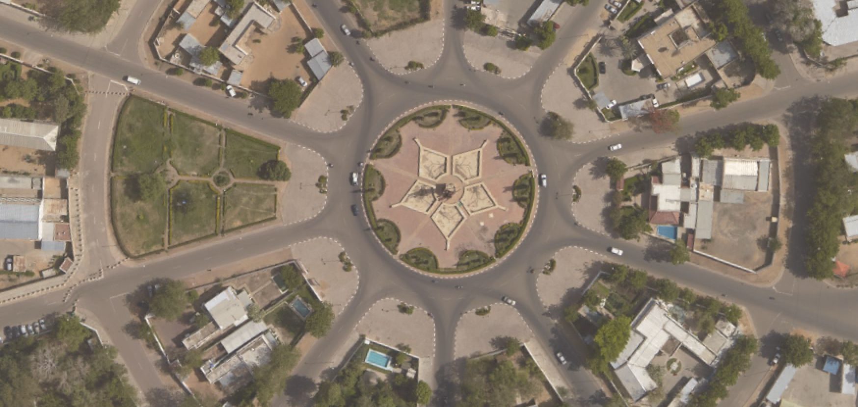
- 1 national orthoimage at 5 m resolution (RapidEye) and 13 regional capitals also covered by a satellite orthoimage at 50 cm resolution (Worldview)
- The completion of one road and tourism atlas based on with the newly completed map at a scale of 1:200,000
- 1 wall assembly at a scale of 1:300,000 completed from the 1:200,000 mapping
- A thematic road and tourism map of Burkina Faso at a scale of 1:1,000,000
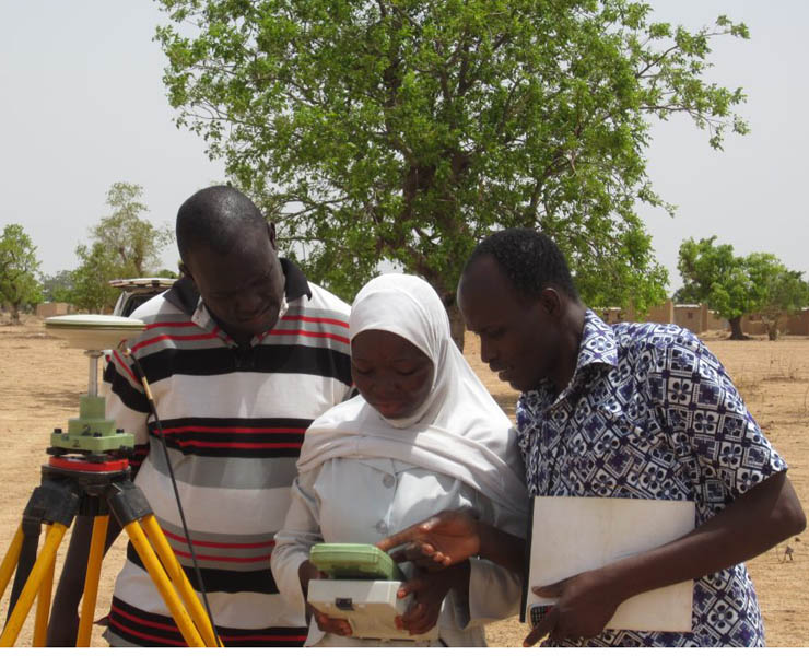
- 17 training courses (satellite image processing, GIS, toponymy, field completion, cartographic editing…)