Defence / Civil security
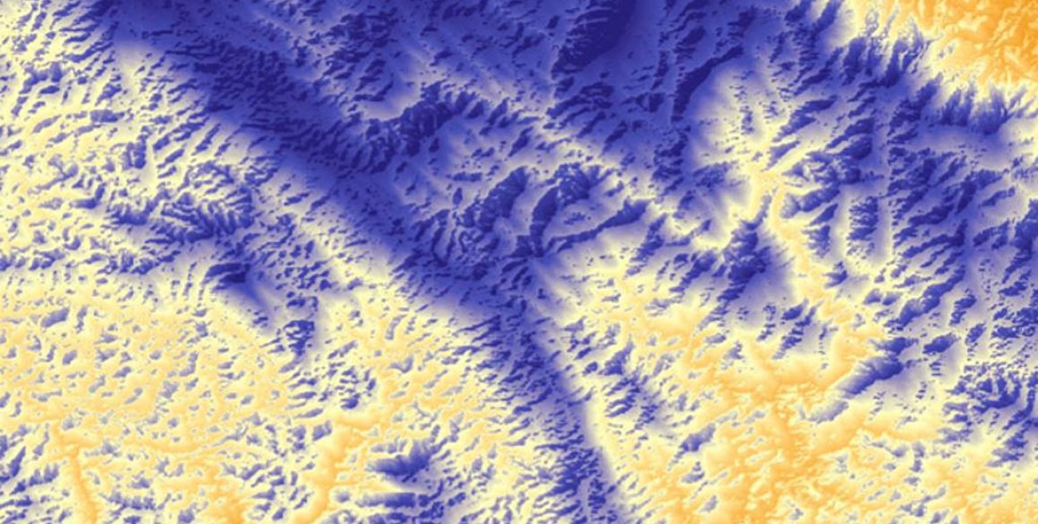
The in-depth, detailed knowledge of its territory is a key element for a State for setting its policies on risk prevention, management of catastrophes or good governance of its border areas. The creation or update of military maps for the areas in which specific operations take place, the creation of mobile units that can be easily made operational, mapping and demarcation of land borders, delimitation of maritime spaces, 3D land visualisation tools, surveillance of vulnerable sites (metrology) or creation of dedicated training programmes: IGN FI accompanies its clients with utmost confidentiality by proposing tailor-made solutions.
Upload the brochure
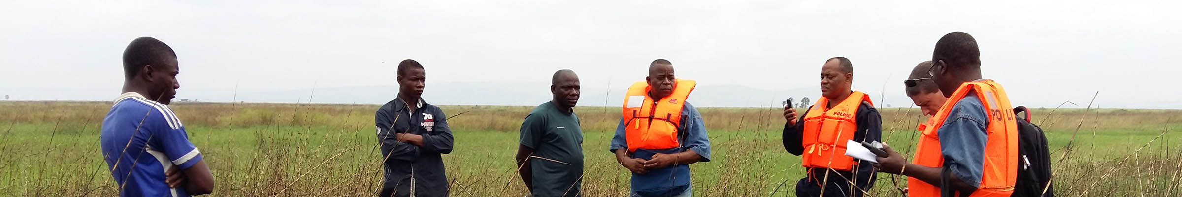
Border demarcation & mapping
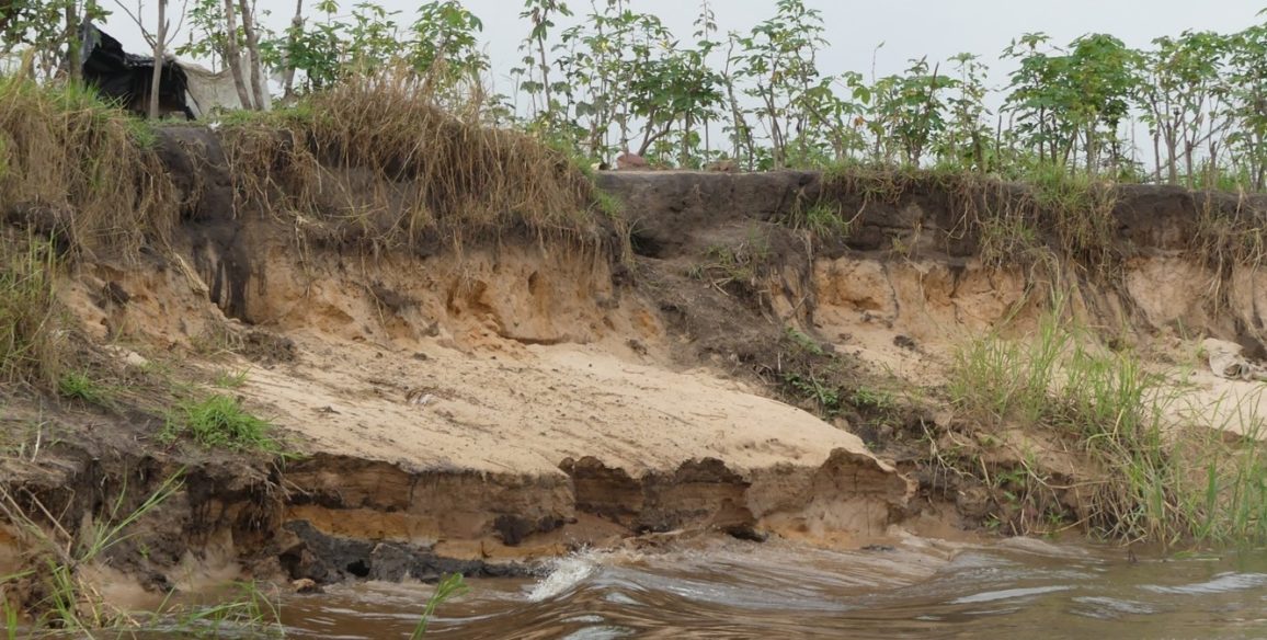
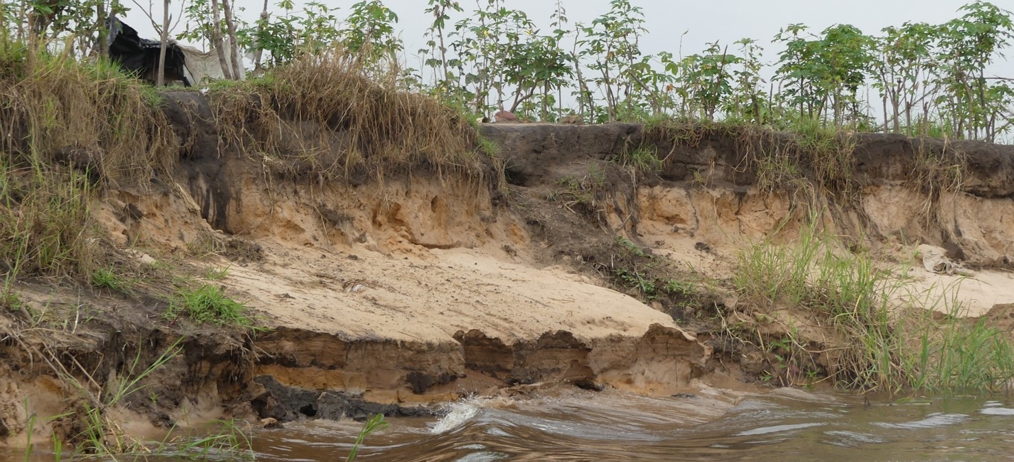
The absence of border demarcations between States can lead to major tensions, whether between the countries directly concerned (threats to national sovereignty and risk of armed conflicts) or for other states (threat from the free circulation of goods and persons, increased risks of terrorism, improper exploitation of natural resources).
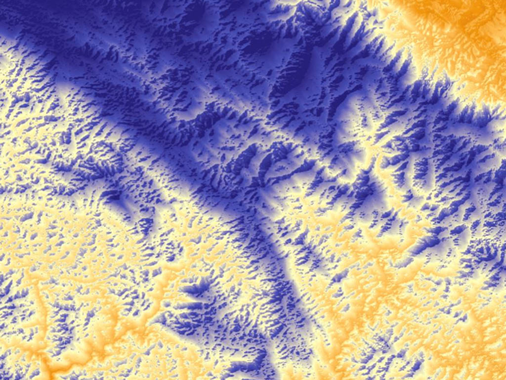
From acquiring and processing relevant imagery, geodesy and field work to creating cartographic working materials, IGN FI gives step-by-step support to its clients (the relevant government departments and national commissions responsible for border issues) in the various stages of their “border” projects. This can include draft proposals, decision-support during the negotiation stages, demarcation and both general and detailed mapping of border zones. IGN FI provides confidential technical and legal expertise which allows national decision-makers to develop an effective negotiating strategy and - once agreement is reached between the countries involved - enables the borders, whether land, sea or rivers, to be mapped and demarcateds.
Upload the brochure
Geoint
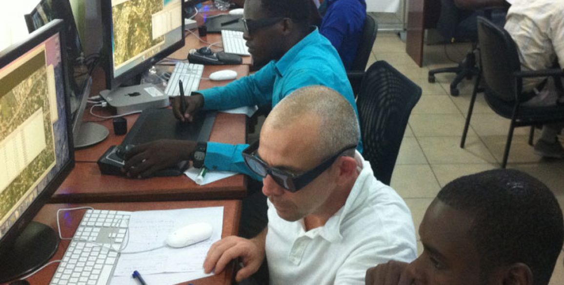
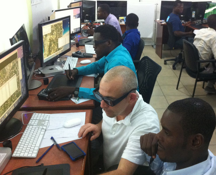
Geographical information is an essential decision-making tool at the heart of security and defense issues. It enables States to assemble information that is reliable, consistent, accurate and as recent as possible concerning the status of operations for which they are responsible, in order to make decisions appropriate to the risks and realities on the ground. But in order to be fully usable the information needs to be qualified and structured, which requires a high level of expertise. Without this preliminary work, exploitation of the data can lead to errors resulting in poor decisions. Confronted with growing security risks, foreign governments need to modernise their geographical infrastructures, notably by setting up more effective geomatics units (IT and technical equipment) and training their personnel in the production and exploitation of geographical reference data (geodesy, photogrammetry, photo-interpretation, GIS, cartography etc) in order to carry out all the analyses required for territorial surveillance needs or the preparation, execution or return of operational missions. As a leader in the field of setting up international geomatics projects, IGN FI supports its clients in mastering new information technologies for national defense and intelligence purposes.
Upload the brochure
Our areas of expertise
Advise, design and implement projects that are specifically adapted to the various elements of the defence and civil security sector:
- Acquisition of data (satellite and aerial images, images from drones, LiDAR acquisitions, field survey)
- Processing and integration of the data acquired
- Production of databases (2D, 3D) and maps to prepare, schedule and run military or security-based operations
- Implementation of GeoView® production lines
- Geometric assessment of new sensors (satellite or other types), with the possibility to integrate models into GeoView®
- Integration of geographic components, such as 2D and 3D land modelling and visualisation tools, into crisis management systems, terrestrial and maritime surveillance systems as well as command and control information systems
- Technical assistance, technology transfer and training
- Measurement of precise geodetic survey points, metrology
- Formatting, structuration and organisation of military geographic products as per NATO standards