Aerial photography, LiDAR acquisition and derivated products, HAITI
As part of the Disaster Risk Management and Reconstruction project, the World Bank has funded a project aimed at producing aerial photographs covering the whole of Haiti’s territory as well as performing an aerial LiDAR survey. This baseline data was then used to produce an orthophoto and highly accurate DTM. These products must provide a response to demand from multiple sectors, all aiming to create applications in numerous fields such as agriculture, the agrarian reform, food safety, spatial planning, environment management, infrastructures, statistics, tourism, topographic mapping, thematic mapping, etc.
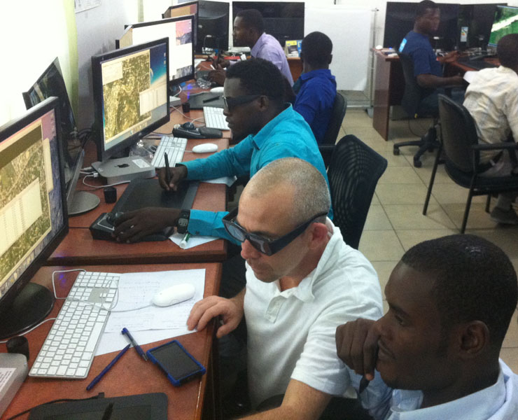
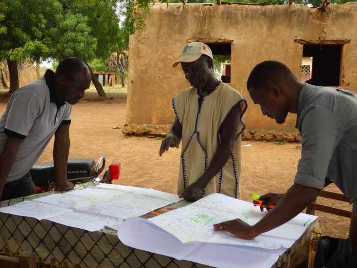
This project follows on from the actions initiated by the State via Haiti’s Ministry of Planning and External Cooperation. This work has been carried out over the last decade in order to provide the country with indispensable tools for achieving better land planning and management and support local development. IGN FI was awarded this tender in partnership with IMAO. The aerial survey work started in January 2014.
Objectives and deliverables
This project aimed to deliver aerial photographs with LiDAR acquisition for the whole of Haiti and production of the associated products:
- Aerial photography and LiDAR reading (one pass only for acquisition), completed with stereophotography points for the country and the 14 towns, including: aerial survey reports, flight altitudes, pictures, metadata, stereopreparation and GPS observation forms, all raw and post-processed data
- Aerotriangulation calculations
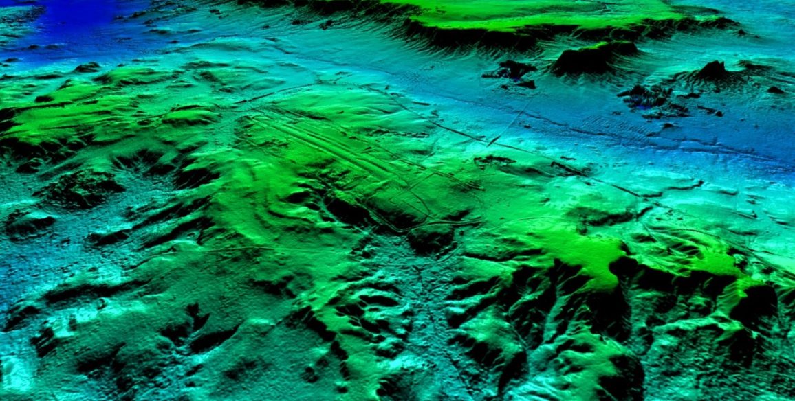
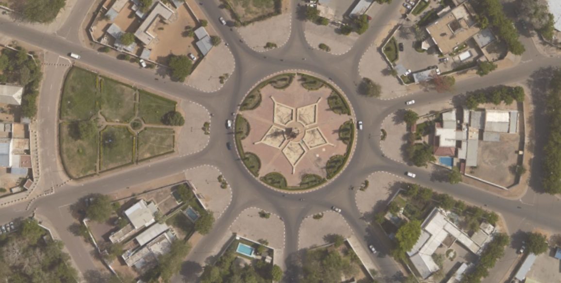
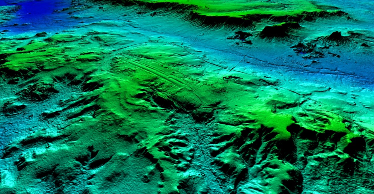
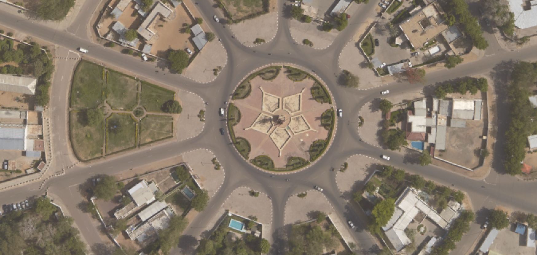
- Digital data: geometrically corrected photos produced by aerial triangulation, orthophotgraph tiles over the entire country at a resolution of 25 cm and even better, DTM tiles at 1.5m intervals and an altimetric accuracy of 20cm, 1 meter contour lines for integration into the 1:25,000 orthophotoplan
- Derived products created using the project’s digital data (orthophotos, DTM, contour lines) supplemented by data from CNIGS mapping databases: 1:25,000 scale maps, 100 copies of a plastic thermoformed map made to a scale of 1:300,000
Key Figures
- 28,000 sq.km
- Around 225 stereo-preparation points
- Estimated number of negatives: 57,000
- Accurate Lidar surveys: 4 points /sq.m over the country with 1 point per m² for towns
- DTM on a grid of 1.5 m with a 20 cm altimetric accuracy
- Orthophoto at 25 cm and 10 cm