
Land borders and offshore border lines: negotiations support, CONGO
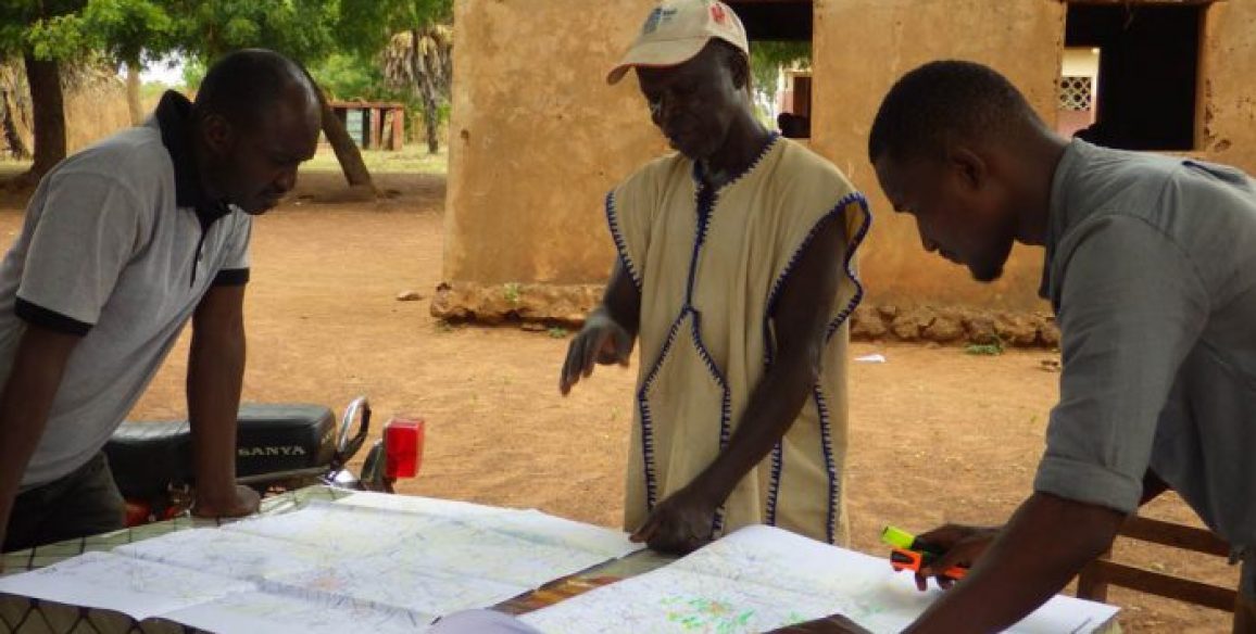
Within the framework of the ‘Land borders and offshore borderlines: ‘negotiations support’ project, IGN FI offered the Ministry for Home Affairs and Decentralisation support in the project’s overall management, aiming to contribute to providing Congo’s National Border lines Committee with reliable and detailed information that is compatible with GPS readings. This project was part of the African Union’s border lines programme’s prerogatives and is aimed at all States delimiting their borders between now and 2022. Started in September 2015, the project was completed in November 2016.
Main objectives
- The edition of working documents on mapping the disputed areas of land
- Creation of an ‘IGN expert’ support for the Commission’s needs
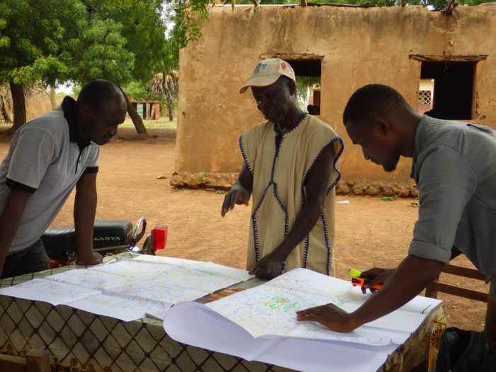
- Updating the skills of the National Border lines Committee members through the creation of training courses covering the techniques useful for defining and demarcating border lines and also legal training courses around the theme of ‘borders’
- Help in delimiting offshore border lines
Key numbers
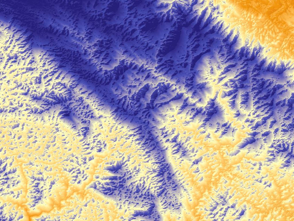
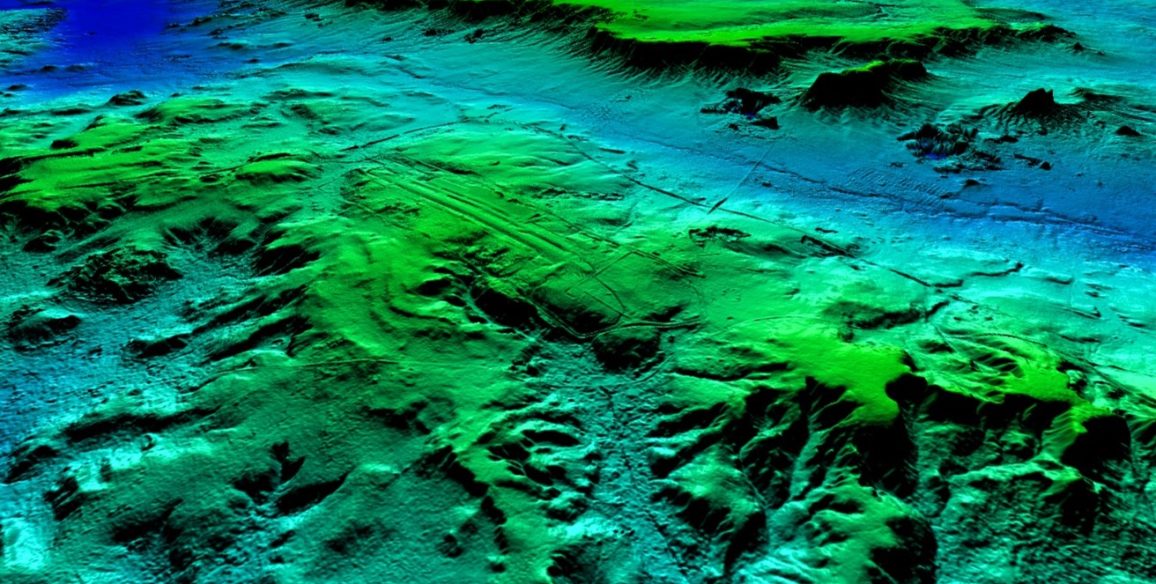
- 18 maps produced targeting several sensitive areas (scale of 1:10,000 to 1:200,000)
- 12 weeks of training spread over a 7 month period
- 30 people trained
- 7 trainers
- 4 field trips
- Creation of a 6-man team for reporting back on project progress
- Almost 100,000 geographical entities identified during the digitalization phase