Creation of an exhaustive list of localities entitled to receive the universal electronic communications service, GABON
With an estimated population of 1.8 million across a surface area of 268,000km², mainly concentrated in the principal cities and along road and river routes, and with 85% of its land area covered by forests, the provision of equal access to electronic communication represents a major challenge for the Gabonese government.
The results of the project will enable Gabon to extend access to electronic communications services to people in geographically remote areas who do not have access to telephone and internet.
Objectives and deliverables
Objectives
The project objective is to gather geographic data from the appropriate national authorities, both public and private, and then to complement this initial information with additional data-gathering missions in order to:
- Draw up a listing of towns, villages and the principal road axes
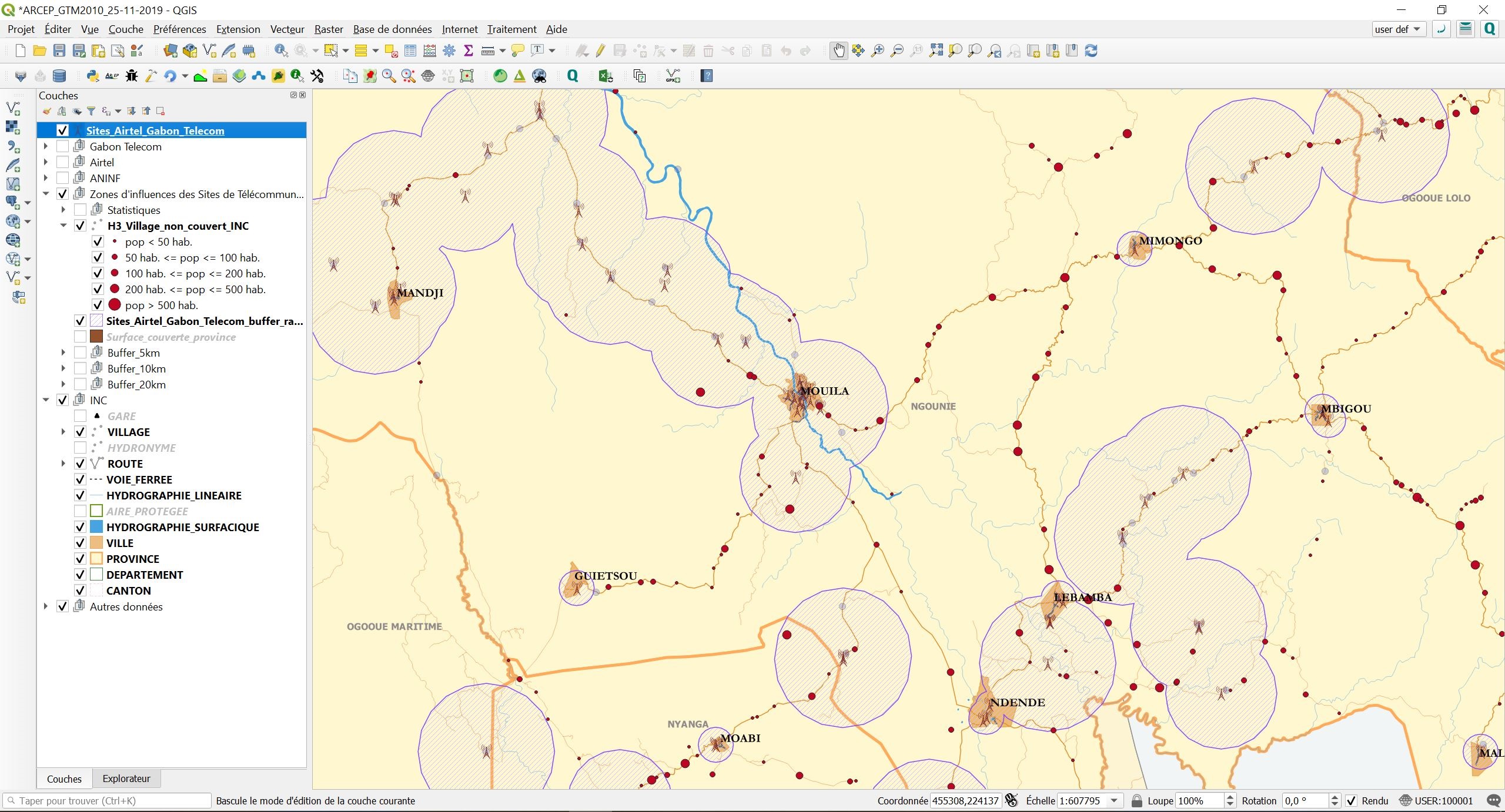
- Draw up a listing and map those areas which are covered and not covered
- Calculate the rate of coverage by land area based on existing ‘operator’ data available in Gabon
- Calculate the rate of coverage by population based on existing ‘operator’ data available in Gabon.
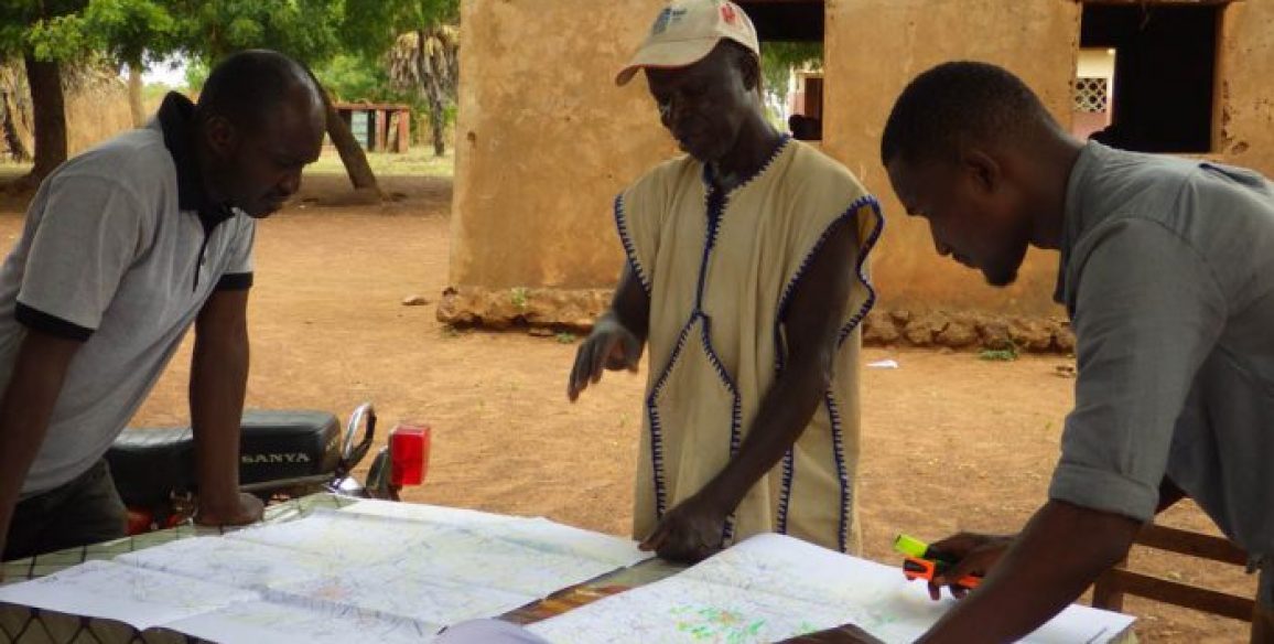
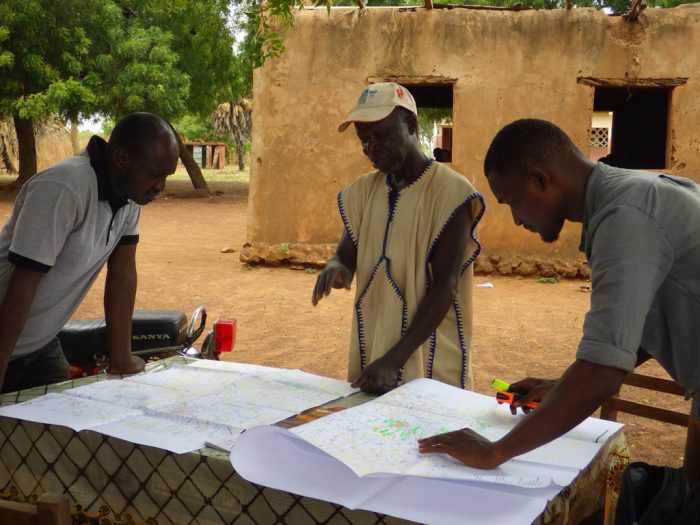
At the end of the initial data gathering phase, the Consultant will need to travel throughout the country in order to validate and supplement the information collected.
Project components
The project is broken down into the following components:
- Assembling and producing an inventory of existing institutional and professional data in Gabon
- Establishing the methodology for the data-gathering phase and training the operators responsible for data-gathering
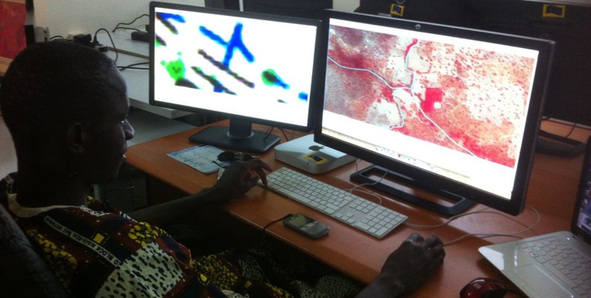
- Field surveys
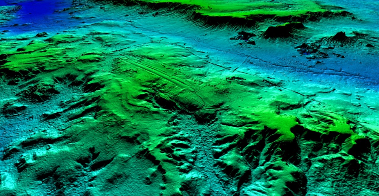
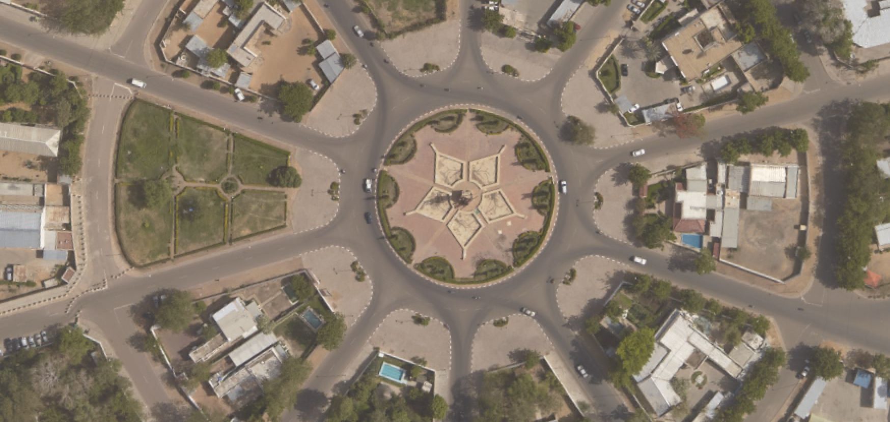
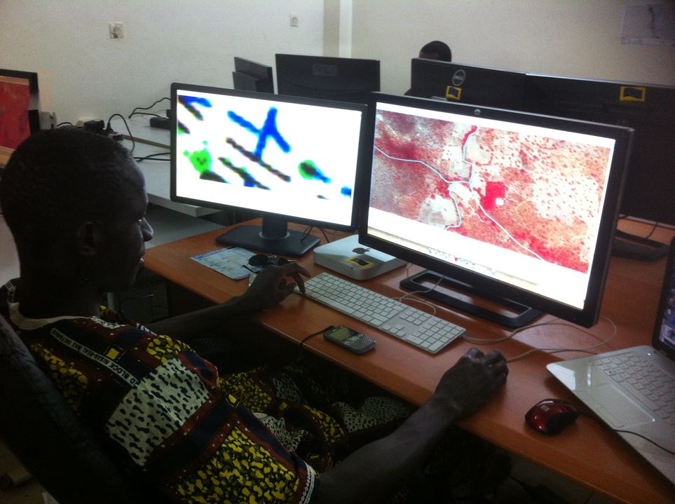
- Processing and integration of data into the GIS database
- Training of ARCEP staff in using the data
Expected results
The expected deliverables at the outcome of the project are as follows:
- Inception report including mapping of the actors, methodology, mission report and risk analysis
- Mapping of infrastructure and activity report
- Survey sheet model
- Exploitable assembled data
- Creation of a GIS tool and integration of data
- User training
- Training materials
- Final report on project activities
Key figures
- Duration 6 months
- 5 international experts + 17 technicians