
Assessment by remote sensing of the development of infestation of water hyacinths by neochetina eichhorniae along the Nile: from Ed-Dueim to the southern border of Sudan – 3 phases, EGYPT/SUDAN
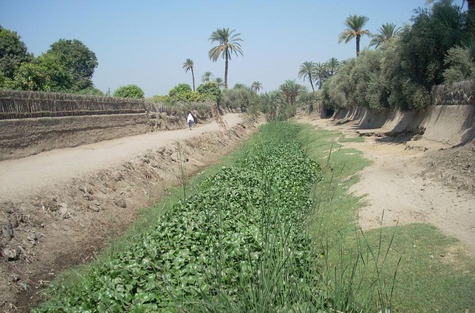
Water hyacinth is considered to be a highly invasive weed causing serious economic and environmental damage, which has been recognized in Egypt since 1932. Until 1990 the struggle to control the situation was based on the use of chemicals and mechanical methods. In 1990 the Egyptian government passed a decree that banned the use of chemicals in all the country’s lakes in order to prioritize more ecological practices that were more respectful of both human health and the environment.
In 1999 the Egyptian government launched a matching fund for food aid in co-operation with the French government. This project was based on biological pest control by the Neochetina eichhorniae and Neochetina bruchi (beetles of the genus Curculionidae). These insects appear to have a remarkable impact on the plant and enable its spread to be reduced to the point of reaching a “predator-prey” balance.
In 2013, Egypt and Sudan decided to cooperate on this important issue. The Egyptian Minister of Foreign Affairs agreed to set up a new project financed by the Egyptian government to study the development of water hyacinth invasion in part of the White Nile in Sudan.
Objectives and deliverables
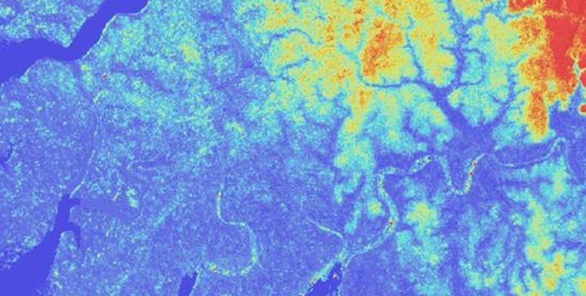
The objective for the first phase of the project, carried out in 2013, was to ascertain whether water hyacinth was present along part of the White Nile in Sudan between the cities of Ed-Dueim and Kosti and to assess the percentage of water hyacinth invasion. The study covered a 140km stretch of the Nile.
The objective for the second phase, carried out in 2014, concerned the area of the Nile between the city of Kosti and the Southern border of Sudan, covering a stretch of about 110km.
The third and final phase was mainly focused on monitoring and assessing how the water hyacinth invasion evolved between Kosti and the Southern border of Sudan between 2014 and 2015.
The methods used comprised 7 steps:
- Step 1: Acquisition of baseline data
- Step 2: Ortho-rectification of coverage of the entire scenes
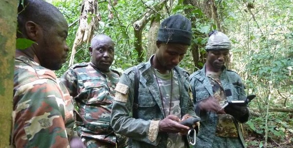
- Step 3: Training Sudanese specialists
- Step 4: Work on preparation and interpreting keys, specifying the area of interest
- Step 5: Production phase (and assessment of changes for step 3)
- Step 6: Checking final quality and corrections
- Step 7: Reports and analyzing results
Deliverables
- Reference images and data produced
- Statistical analysis reports
- Communication poster
Key figures
- 250 km of the Nile studied
