
Assistance, advice and skills transfer in geodesy, levelling work and use of GNSS measurement techniques for the topography section of the Urban planning department in Papeete, FRENCH POLYNESIA
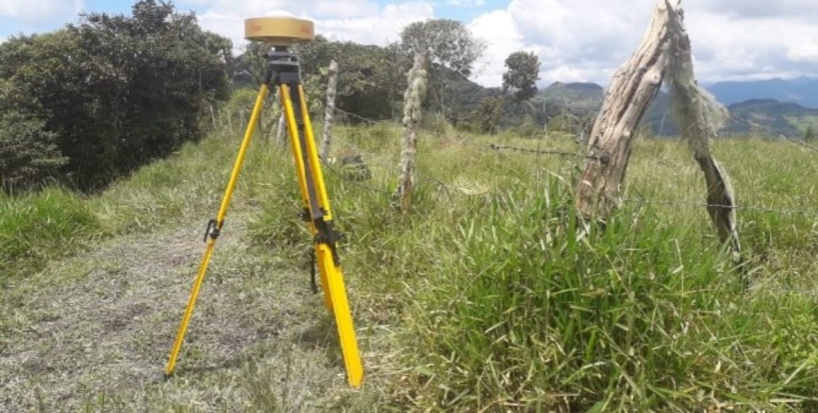
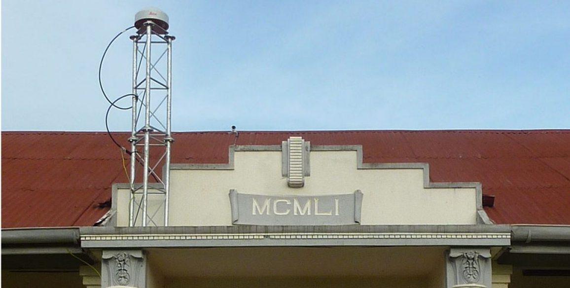
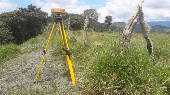
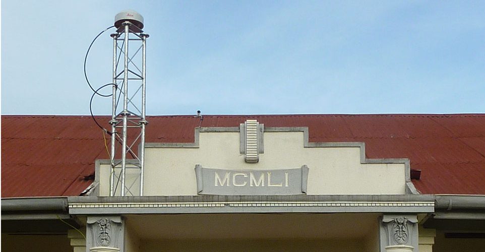
The Topology section of the Urban planning department is in charge of conserving and developing geodesic networks as well as general levelling projects over the whole territory of French Polynesia (Ministerial ruling no.347/CM dating from 6 April 1988). Given that the Topography section is also responsible for aerial or satellite imagery coverage, its second role is the important job of calculating sets of stereo-preparation points.
Main objectives and deliverables
- Definition of a global short-term strategy for maintaining the existing geodesic and levelling networkss.
- Creation of detailed procedure sheets which can be used either as a means of helping work management or as specifications to define any work that is to be outsourced.3. In situ skills transfer project in Papeete: General reminder of what geodesy and GPS measurement techniques, advanced-level use of Trimble Business Center firmware and Trimble equipment that has already been used by the section (R8,5700,5800), PPP (Precise Point Positioning).
- A dissertation covering the Reflection on the evolution of RGPF, Reflection on the future of levelling networks, Recommendations for purchases of equipment or software if necessary for the coming years.
Livrables
- Initial phase: Questionnaire and assessment of what exists at present
- Phase 1: Summary reports and documents for each activity (definition of a global geodesic strategy, detailed procedure sheets) – Powerpoint presentations used as teaching aids
- Phase 2: A post-survey dissertation on needs and anticipated evolutions
Key figures
- 8 people trained
