
Quality assesment of the Urban atlas 2012 update, EUROPE
As joint initiative with the European Commission’s Directorate General of regional and urban policies, the General Directorates for Enterprise (DG ENTR) and Industry (DG REGIO), along with support from the European Space Agency (ESA) and the European Environment Agency (EEA), the Urban Atlas project’s aim was to provide comparable pan-European data on land use and coverage in functional urban areas (FUA).
Main objectives and delivrables
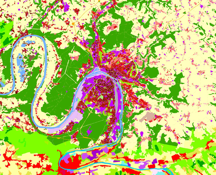
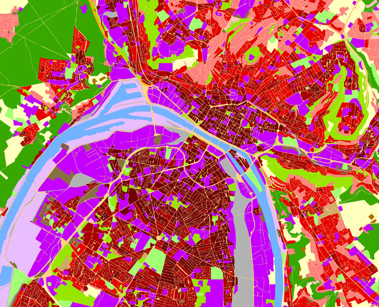
The initial Urban Atlas project consisted of producing a land-use database for a predominantly urbanised area of 350 conurbations around Europe in accordance with a specific nomenclature. The satellite images used satellite images from 2006. This project to update the Urban Atlas used satellite images from 2012 as well as the classification of changes between 2006 and 2012. The concept is similar to that used for the CORINE Land Cover project.
Two new aspects were however, integrated into the update:
- The initial classification work covered 15 categories and this figure was increased to 21, giving further detail of the forest and agricultural components, with the water surface areas remaining unchanged
- The modifications were requested for the 305 conurbations previously included in the Urban atlas and 390 other urban areas in Europe (of below 100,000 inhabitants) were also to be included in the study based on images from 2012.
This project was worked on in conjunction with the companies SIRS and Gisbox and was carried out using mainly SPOT5 satellite images.
Deliverables: Validated points files and a validation report
Key figures
- 697 FUA checked
- Over 1 million sq.km
- More than 130,000 check points

