High-resolution hot spot monitoring within the global land component of the Copernicus land service, Lot 2: independent validation and accuracy assessment, AFRICA (15 countries)
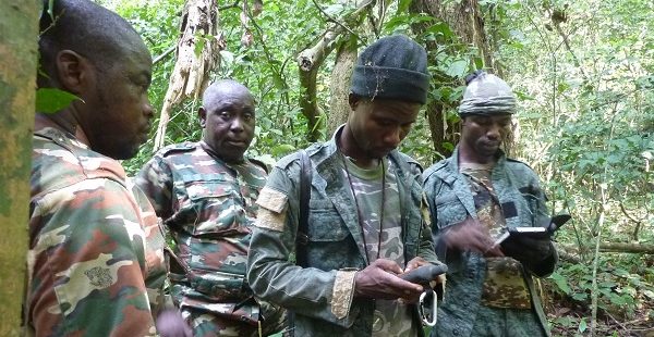
This project includes performing the independent control consisting of the validation and accuracy assessment of the land cover and land cover change mapping products produced by the Lot 1 (the production team) following the requirements of the CEOS Working Group on Calibration and Validation.
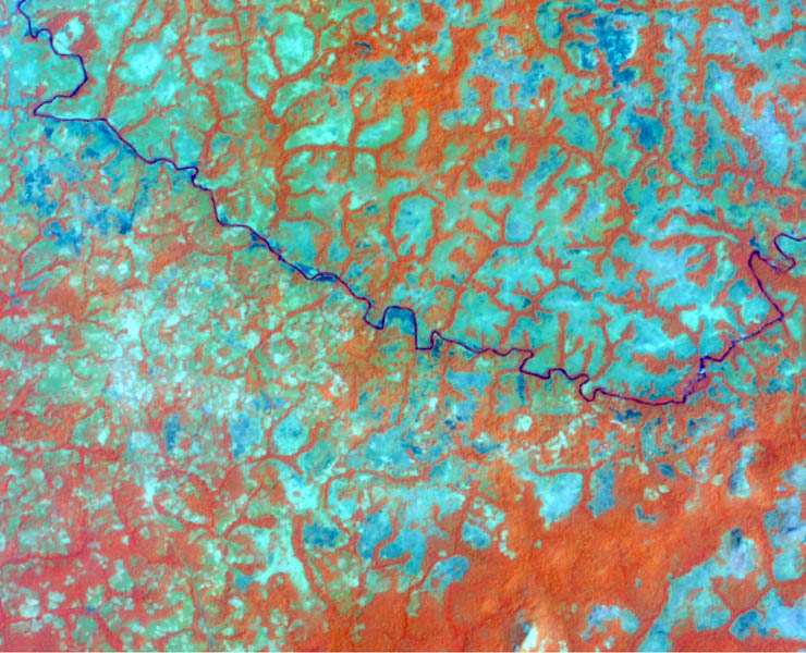
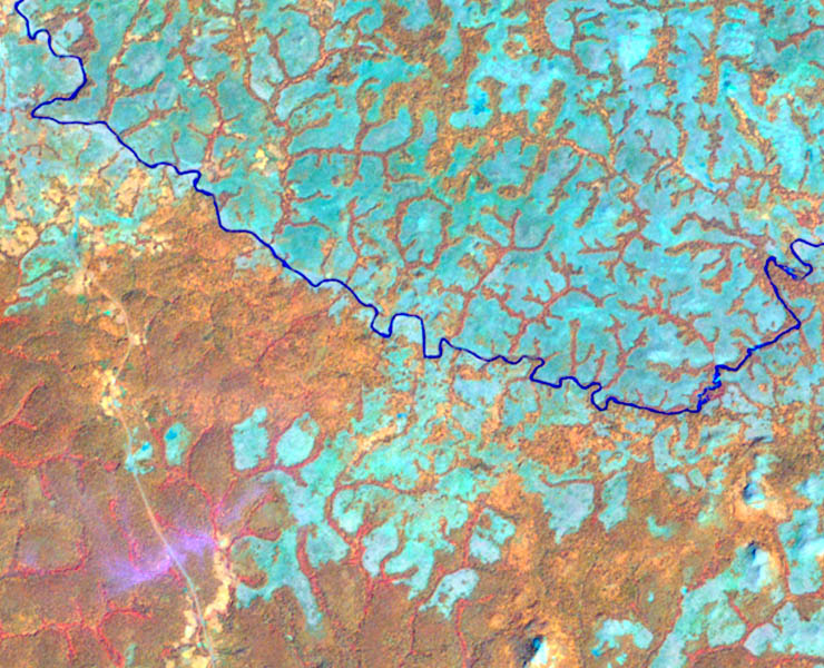
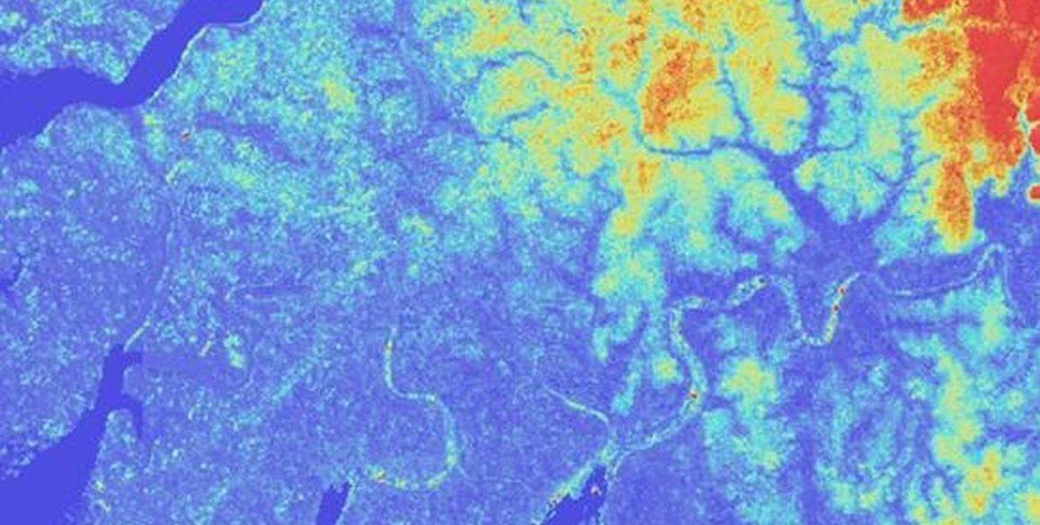
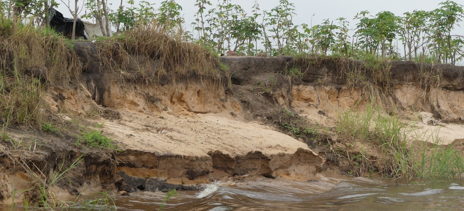
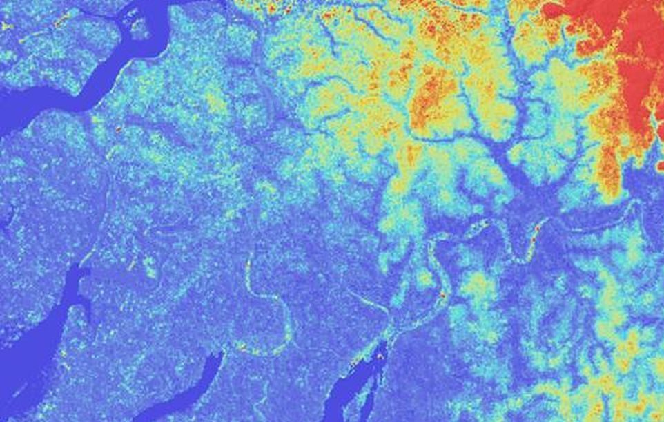
The Land cover and land cover change products concern some specific areas including protected areas or hot spots for biodiversity and land degradation, localized in different African countries in Western, Eastern Central and South Africa.
This information is a complement of the bio‐geophysical parameters of the Global Land coverage activity. The activity will directly support field projects and policies developed by the EU within the framework of EU international policy interests. The activity is based on high and very high resolution images acquired for the areas of interest and provided through the Copernicus Data Warehouse mechanism. The satellite images will then be integrated and perfected with ancillary data and information.
Main objectives and deliverables
The objective of this project is to perform an independent verification and validation of Land Cover date produced from Sentinel or Landsat Images on specific areas in Africa.
Livrables
- Minutes of meeting
- Validation – QA/QC methodology
- Validation – QA/QC reports
- Validation maps – remote sensing derived map validation and accuracy assessments
Key Figures – Specific contract 1
- 8 areas covering partly 15 countries
- Minimal Mapping Unit (MMU): 0.5 – 5 ha
- More than 395,000 sq.km
